Crag Hill

Hill, Mountain in Durham

England

Crag Hill

The valley of Devil's Water above Heatheryburn
The valley of Devil's Water above Heatheryburn Credit: Mike Quinn

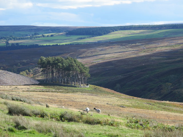
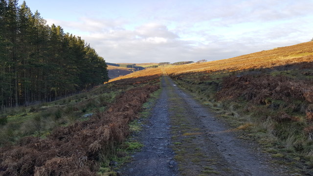
Crag Hill, also known as Eel Crag, is a prominent hill located in the Lake District National Park in Cumbria, England. It stands at an elevation of 839 meters (2,753 feet) and is part of the larger range known as the North Western Fells. Crag Hill is situated in the Newlands Valley, near the town of Keswick, and is a popular destination for hikers and outdoor enthusiasts.

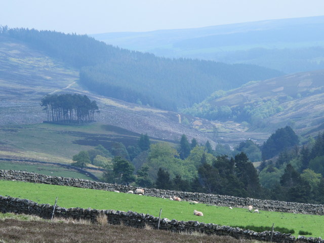
The hill offers stunning panoramic views of the surrounding landscape, including the nearby peaks of Grasmoor, Grisedale Pike, and Causey Pike. Its distinctive shape and rugged terrain make it a challenging climb, but the effort is rewarded with breathtaking vistas at the summit.

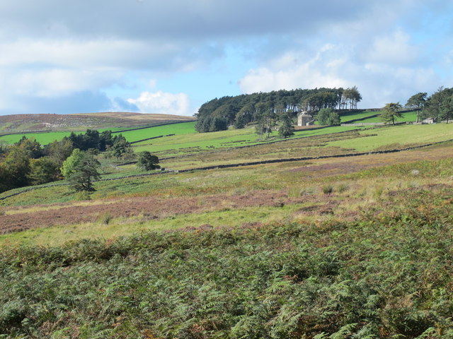
Crag Hill is often included in the classic circuit known as the Coledale Horseshoe, which takes in several other fells in the area. The ascent typically begins at Braithwaite village and follows a well-defined path that leads to the summit. Along the way, hikers can admire the picturesque scenery of the Newlands Valley, with its lush green fields and sparkling streams.

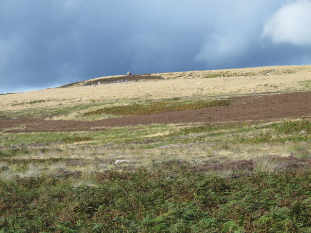
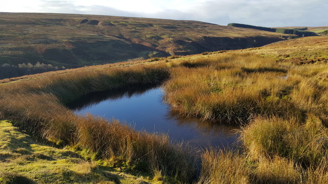
The hill is also known for its rich biodiversity, with various species of birds and wildflowers found in the surrounding area. It is a designated Site of Special Scientific Interest (SSSI) due to its geological features and rare plant life.

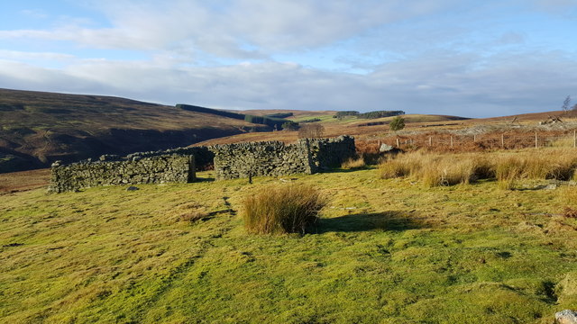
Overall, Crag Hill is a must-visit destination for nature lovers and outdoor adventurers, offering a challenging yet rewarding hiking experience amidst the stunning beauty of the Lake District.

If you have any feedback on the listing, please let us know in the comments section below.
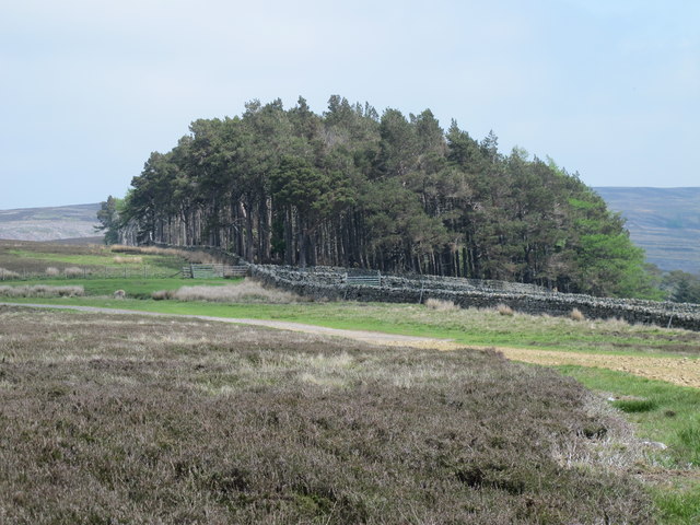
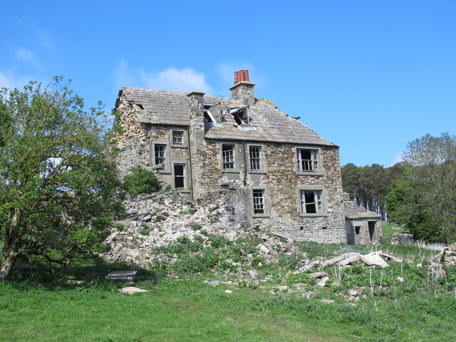
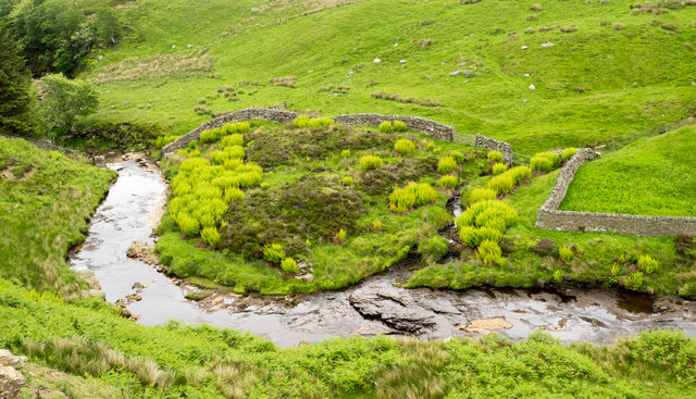
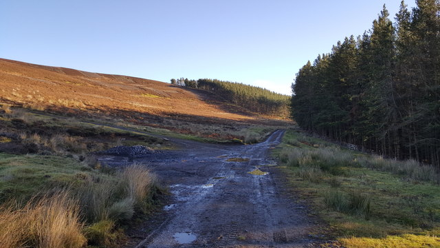
Crag Hill Images

Images are sourced within 2km of 54.836047/-2.1336893 or Grid Reference NY9149. Thanks to Geograph Open Source API. All images are credited.

The valley of Devil's Water above Heatheryburn
Sheep hole in dry stone wall east of Western Meadows
Sheepfold in Green Cleugh
Sheepfold in Green Cleugh (2)
Dry stone wall crossing Green Cleugh The wall seems to have been re-built fairly recently. As the slopes in the ground are so steep, the "thruffs" have been positioned (more or less) horizontal; where the ground is not as steep, the stones follow the slope - see for example <a href="https://www.geograph.org.uk/photo/5413194">NY8455 : Stone stile in dry stone wall near Lonkley</a>.
Dry stone wall crossing Green Cleugh
The wall seems to have been re-built fairly recently. As the slopes in the ground are so steep, the "thruffs" have been positioned (more or less) horizontal; where the ground is not as steep, the stones follow the slope - see for example NY8455 : Stone stile in dry stone wall near Lonkley.
Green Cleugh Shows the location of the <a href="https://www.geograph.org.uk/photo/7231236">NY8948 : Sheepfold in Green Cleugh</a>.
Green Cleugh
Shows the location of the NY8948 : Sheepfold in Green Cleugh.
The valley of Beldon Burn west of Heatheryburn Looking southeast across the valley towards the <a href="https://www.geograph.org.uk/photo/7231236">NY8948 : Sheepfold in Green Cleugh</a>.
The valley of Beldon Burn west of Heatheryburn
Looking southeast across the valley towards the NY8948 : Sheepfold in Green Cleugh.
Plantation on a tumulus above the valley of Beldon Burn (12)
Moorland below Hill 402 (2)
Rough pastures east of Riddlehamhope (4) A similar view taken in January (2014) is shown in <a href="https://www.geograph.org.uk/photo/3814601">NY9149 : Rough pastures east of Riddlehamhope (2)</a>.
Rough pastures east of Riddlehamhope (4)
A similar view taken in January (2014) is shown in NY9149 : Rough pastures east of Riddlehamhope (2).
View down the valley of Beldon Burn from west of Riddlehamhope A similar view taken in April (2015) is shown in <a href="https://www.geograph.org.uk/photo/4427330">NY9049 : Moorland and rough pastures west of Riddlehamhope</a>.
View down the valley of Beldon Burn from west of Riddlehamhope
A similar view taken in April (2015) is shown in NY9049 : Moorland and rough pastures west of Riddlehamhope.
Moorland and small plantation above Riddlehamhope
Riddlehamhope (15)
Riddlehamhope (15)
Meander of Beldon Burn The land defined by the meander is also walled which prevents access by sheep and so is more profusely vegetated, the fern growth (not bracken) is particularly obvious. Heathery Burn is the minor joining stream.
Meander of Beldon Burn
The land defined by the meander is also walled which prevents access by sheep and so is more profusely vegetated, the fern growth (not bracken) is particularly obvious. Heathery Burn is the minor joining stream.
Low Beldon Plantation
Track from Newbiggin to Riddlehamhope
Small pond near Beldon Shields
Square sheepfold Middle plantation in the 2007 picture <a href="https://www.geograph.org.uk/photo/1731379">NY9349 : Sheepfold next to Middle Plantation</a> has now been felled
Square sheepfold
Middle plantation in the 2007 picture NY9349 : Sheepfold next to Middle Plantation has now been felled
Show me another place!

Crag Hill is located at Grid Ref: NY9149 (Lat: 54.836047, Lng: -2.1336893)

Unitary Authority: County Durham

Police Authority: Durham

What 3 Words

///barn.televise.nerd. Near Slaley, Northumberland

Nearby Locations

Crag Hill

Related Wikis

Beldon Burn

Beldon Burn is a headwater stream of the River Derwent in Northumberland and County Durham, England.It rises at Quickcleugh Moss as the Quickcleugh Burn...

Townfield

Townfield is a village in County Durham, in England. It is situated just to the south of Hunstanworth and part of that parish, about 10 miles (16 km) west...

Ramshaw, Consett

Ramshaw is a small village in County Durham, in England. It is situated to the south of Hunstanworth, a few miles west of Consett. Lead mining was an important...

Baybridge, Northumberland

Baybridge is a small village in Northumberland, England, just to the west of Blanchland and on the border with County Durham. It is situated to the west...

Nearby Amenities

Located within 500m of 54.836047,-2.1336893
Nookton Back Fell
Place: locality
Lat/Long: 54.8345218/-2.1282642
Hunting Stand
Hunting Stand: grouse_butt
Lat/Long: 54.8332308/-2.1390107
Hunting Stand
Hunting Stand: grouse_butt
Lat/Long: 54.833722/-2.1388498
Hunting Stand
Hunting Stand: grouse_butt
Lat/Long: 54.834211/-2.1386902
Hunting Stand
Hunting Stand: grouse_butt
Lat/Long: 54.8346991/-2.1385185
Hunting Stand
Hunting Stand: grouse_butt
Lat/Long: 54.8351857/-2.1383616
The data included in this document is from www.openstreetmap.org. The data is made available under ODbL.

Have you been to Crag Hill?

Leave your review of Crag Hill below (or comments, questions and feedback).