Beauty Hill

Hill, Mountain in Aberdeenshire

Scotland

Beauty Hill

Sheep feeding The shadows lengthen as sheep gather around trailers of hay on a beautiful early spring afternoon, as seen from the Formartine and Buchan Way.
Sheep feeding Credit: Bill Harrison

Beauty Hill is a prominent hill located in Aberdeenshire, Scotland. Standing at an elevation of approximately 377 meters (1,237 feet), it offers stunning panoramic views of the surrounding countryside. Situated near the village of Alford, Beauty Hill is a popular destination for outdoor enthusiasts, hikers, and nature lovers.

The hill is characterized by its gently sloping terrain, covered with lush green vegetation and native Scottish flora. It is predominantly composed of granite, which gives it a rugged and distinctive appearance. On the summit, there is a trig point, allowing visitors to accurately determine their position and enjoy the breathtaking vistas that stretch for miles in all directions.

The ascent to the top of Beauty Hill is relatively moderate, making it accessible to people of various fitness levels. There are several well-marked trails that lead to the summit, offering different levels of difficulty and length. Along the way, visitors can encounter a variety of wildlife, including birds, rabbits, and occasionally, deer.

One of the most remarkable features of Beauty Hill is the presence of ancient stone circles near its base. These archaeological remnants are believed to date back to the Bronze Age and provide a glimpse into the area's rich history.

Due to its proximity to Alford, Beauty Hill is easily accessible by car or public transport. It is a popular spot for picnics, family outings, and outdoor activities such as hillwalking and orienteering. With its natural beauty and historical significance, Beauty Hill is a must-visit destination for those exploring Aberdeenshire's countryside.

If you have any feedback on the listing, please let us know in the comments section below.
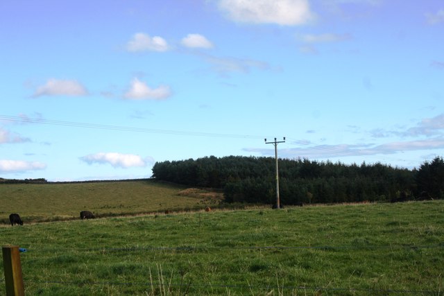
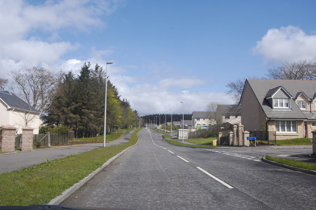
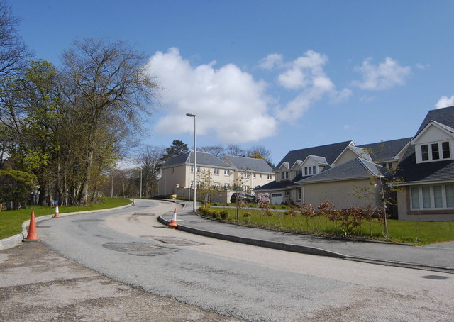
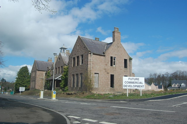
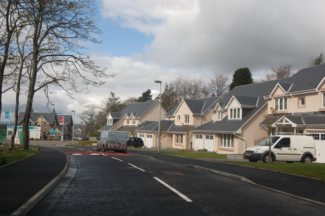
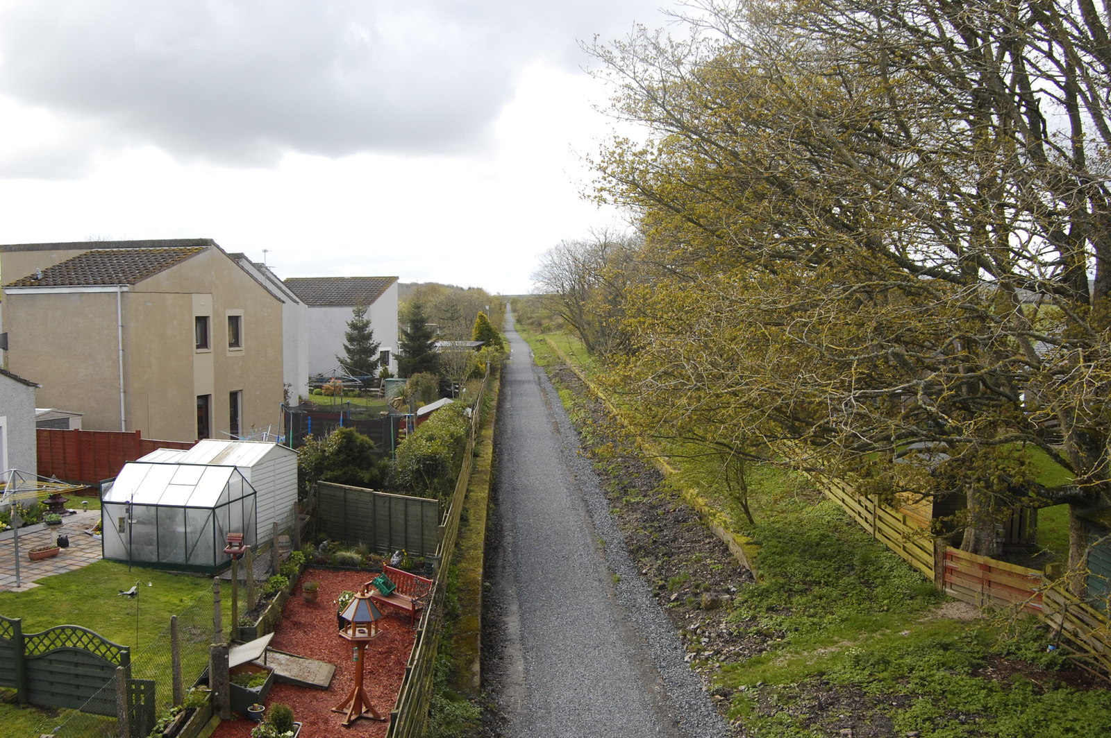
Beauty Hill Images

Images are sourced within 2km of 57.276297/-2.1544978 or Grid Reference NJ9020. Thanks to Geograph Open Source API. All images are credited.

Sheep feeding The shadows lengthen as sheep gather around trailers of hay on a beautiful early spring afternoon, as seen from the Formartine and Buchan Way.
Sheep feeding
The shadows lengthen as sheep gather around trailers of hay on a beautiful early spring afternoon, as seen from the Formartine and Buchan Way.
Sheep and shadows... ...as seen from the Formartine and Buchan Way.
Sheep and shadows...
...as seen from the Formartine and Buchan Way.
Cattle by West Cannahars Cattle grazing in one field by West Cannahars but other field show the diversity in arable farming of the area.
Cattle by West Cannahars
Cattle grazing in one field by West Cannahars but other field show the diversity in arable farming of the area.
Grain by Auchloon Barley fields by Auchloon with shelter belt woodland behind.
Grain by Auchloon
Barley fields by Auchloon with shelter belt woodland behind.
Cattle by Ardo Cattle grazing in a field by Newton of Ardo with woodland behind.
Cattle by Ardo
Cattle grazing in a field by Newton of Ardo with woodland behind.
Dyke and grassland The green field was inhabited by cattle.
Dyke and grassland
The green field was inhabited by cattle.
Country Scene Lambs in the field, typical Aberdeenshire farm cottages in the background.
Country Scene
Lambs in the field, typical Aberdeenshire farm cottages in the background.
New Builds in the country Part of the huge "concept development" at Kingseat Meadows to establish a new suburban village in the country.  Canmore Close is on the right.   The build quality seems way higher than most modern estates.
New Builds in the country
Part of the huge "concept development" at Kingseat Meadows to establish a new suburban village in the country. Canmore Close is on the right. The build quality seems way higher than most modern estates.
Bacchanate Way, Kingseat Meadows, Aberdeenshire Some of the new-build houses on the Kingseat development.
Bacchanate Way, Kingseat Meadows, Aberdeenshire
Some of the new-build houses on the Kingseat development.
Former Hospital Administration Building, Kingseat The Kingseat site was the first "village hospital" in the UK, inspired by European examples. It treated casualties from Atlantic Convoys in WWII and was later used as a residential mental-health facility.  
For more on its interesting history, see:  <span class="nowrap"><a title="http://www.aberdeenshire.gov.uk/planning/devbriefs/KingseatBriefFeb03.pdf" rel="nofollow ugc noopener" href="http://www.aberdeenshire.gov.uk/planning/devbriefs/KingseatBriefFeb03.pdf">Link</a><img style="margin-left:2px;" alt="External link" title="External link - shift click to open in new window" src="https://s1.geograph.org.uk/img/external.png" width="10" height="10"/></span> (warning: large file, 4MByte).  The road has the impressive name of King Malcolm Drive, because King Malcolm reputedly stopped in the area after defeating Macbeth at the battle of Lumphanen in 1057.
Former Hospital Administration Building, Kingseat
The Kingseat site was the first "village hospital" in the UK, inspired by European examples. It treated casualties from Atlantic Convoys in WWII and was later used as a residential mental-health facility. For more on its interesting history, see: LinkExternal link (warning: large file, 4MByte). The road has the impressive name of King Malcolm Drive, because King Malcolm reputedly stopped in the area after defeating Macbeth at the battle of Lumphanen in 1057.
Too new for the map Some of the new-builds at the Kingseat Meadows development.
Too new for the map
Some of the new-builds at the Kingseat Meadows development.
Grazing, Craigie
Grazing, Craigie
Country road towards Shiels Heading east.
Country road towards Shiels
Heading east.
B999 heading north  Towards Pitmedden.
B999 heading north
Towards Pitmedden.
Grazing, Easter Craigie
Grazing near Kingseat Off the B979.
Grazing near Kingseat
Off the B979.
Kingseat Farm
Kingseat Farm
B979 heading west Towards Newmachar.
B979 heading west
Towards Newmachar.
Show me another place!

Beauty Hill is located at Grid Ref: NJ9020 (Lat: 57.276297, Lng: -2.1544978)

Unitary Authority: Aberdeenshire

Police Authority: North East

What 3 Words

///constrain.require.outdone. Near Newmacher, Aberdeenshire

Nearby Locations

Beauty Hill

Related Wikis

Nearby Amenities

Located within 500m of 57.276297,-2.1544978
Design: barrel
Power: tower
Source: bing
Lat/Long: 57.2737076/-2.1595603
Power: pole
Lat/Long: 57.2732143/-2.1592327
Power: pole
Lat/Long: 57.2734928/-2.1583137
Power: pole
Lat/Long: 57.2736555/-2.1575218
Power: pole
Lat/Long: 57.2739482/-2.1561261
Power: pole
Lat/Long: 57.2742474/-2.1547141
Power: pole
Lat/Long: 57.2745422/-2.1533325
Power: pole
Lat/Long: 57.274848/-2.1518903
Power: pole
Lat/Long: 57.2751232/-2.1504743
Power: pole
Lat/Long: 57.2753754/-2.1492098
Power: pole
Lat/Long: 57.2756156/-2.1479595
Power: pole
Lat/Long: 57.2758384/-2.1467657
Power: pole
Lat/Long: 57.2786655/-2.1508306
Power: pole
Lat/Long: 57.2787065/-2.1500239
Power: pole
Lat/Long: 57.2787663/-2.149123
Power: pole
Lat/Long: 57.2788227/-2.1483061
Power: pole
Lat/Long: 57.2793545/-2.1485641
Generator Method: wind_turbine
Generator Output Electricity: yes
Generator Source: wind
Generator Type: horizontal_axis
Power: generator
Lat/Long: 57.2798297/-2.1525599
The data included in this document is from www.openstreetmap.org. The data is made available under ODbL.

Have you been to Beauty Hill?

Leave your review of Beauty Hill below (or comments, questions and feedback).