Graydons Hill
Hill, Mountain in Northumberland
England
Graydons Hill
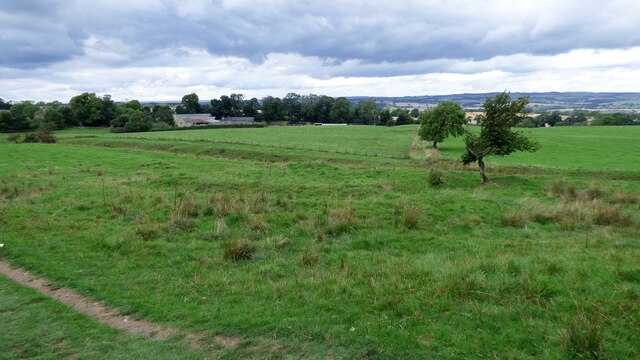
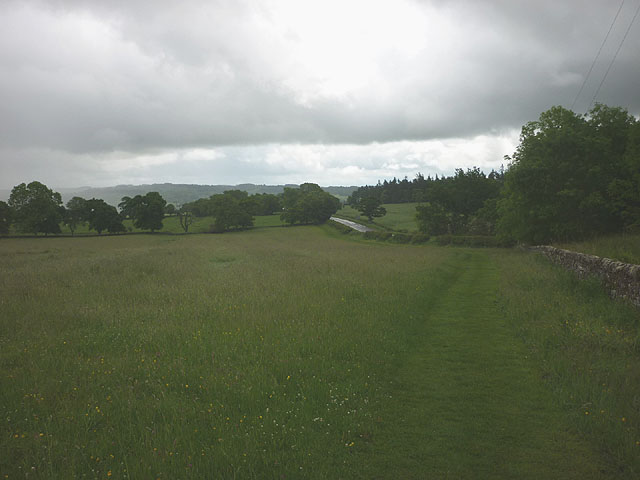
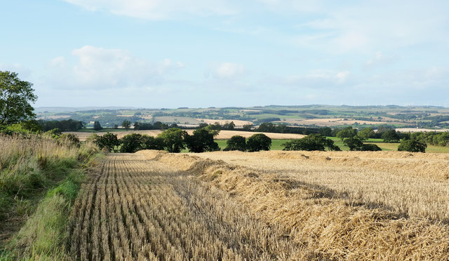
Graydons Hill is a prominent geographical feature located in the county of Northumberland, England. Situated within the picturesque Northumberland National Park, it forms part of the Cheviot Hills range. Rising to an elevation of approximately 525 meters (1,722 feet), Graydons Hill offers breathtaking panoramic views of the surrounding landscape.
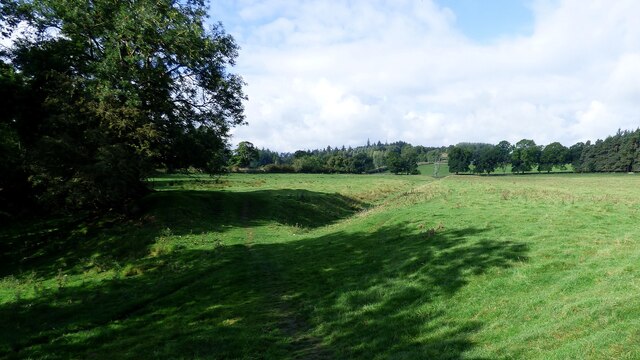
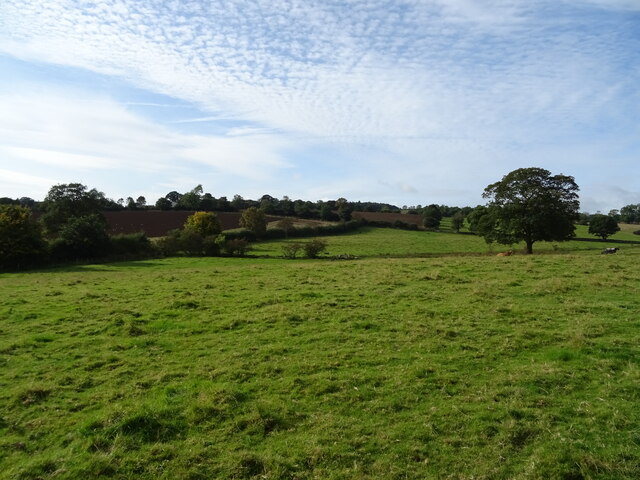
The hill is characterized by its rugged terrain, with steep slopes covered in heather and grasses. It is composed mainly of sandstone and shale, which have been shaped over time by the forces of erosion. The hill is known for its distinctive shape, with a rounded summit and gently sloping sides.
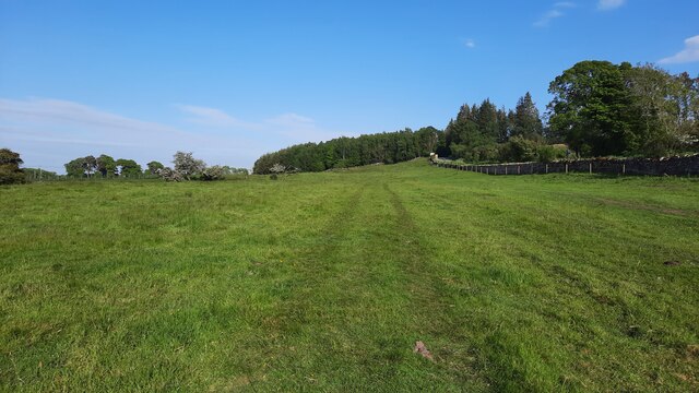
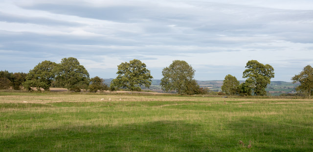
Graydons Hill is a popular destination for outdoor enthusiasts, offering opportunities for hiking, mountain biking, and wildlife spotting. The area is home to a variety of flora and fauna, including heather, bracken, and a range of bird species such as red grouse and curlews.
At the summit, there is a trig point that marks the highest point of the hill, providing a perfect spot for visitors to take in the breathtaking vistas of the surrounding Northumberland countryside. On a clear day, one can see as far as the North Sea coast and the Scottish Borders.
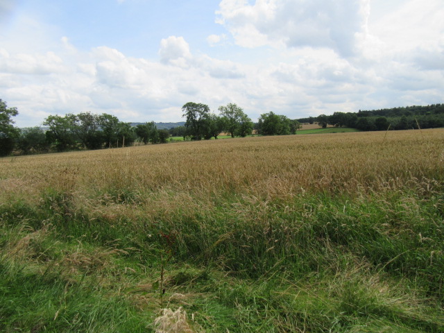
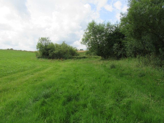
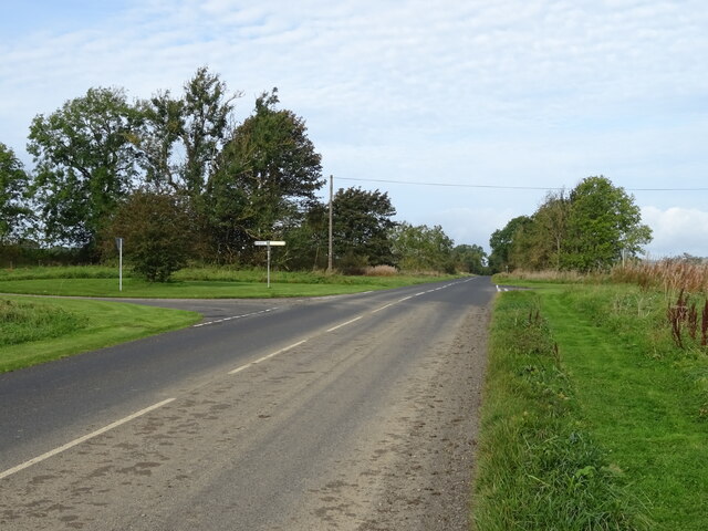
Access to Graydons Hill is possible via well-maintained footpaths that traverse the surrounding countryside. The hill is situated in an Area of Outstanding Natural Beauty, ensuring the preservation of its natural environment and offering visitors a tranquil and unspoiled experience.
If you have any feedback on the listing, please let us know in the comments section below.
Graydons Hill Images
Images are sourced within 2km of 55.03238/-2.1483298 or Grid Reference NY9070. Thanks to Geograph Open Source API. All images are credited.


Graydons Hill is located at Grid Ref: NY9070 (Lat: 55.03238, Lng: -2.1483298)
Unitary Authority: Northumberland
Police Authority: Northumbria
What 3 Words
///bedding.hood.dislikes. Near Wall, Northumberland
Nearby Locations
Related Wikis

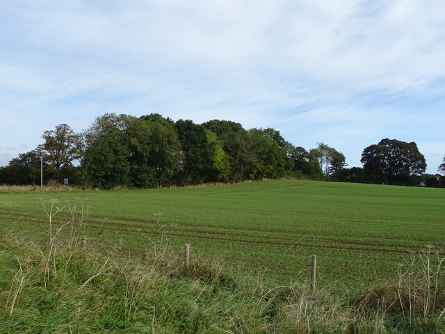
Walwick
Walwick is a village in Northumberland, England near Hadrian's Wall. Nearby villages include Humshaugh, Chollerford and Low Brunton. == Governance... ==

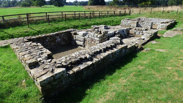
Milecastle 28
Milecastle 28 (Walwick) was a milecastle of the Roman Hadrian's Wall in England. No remains are currently visible. Its location is immediately to the...
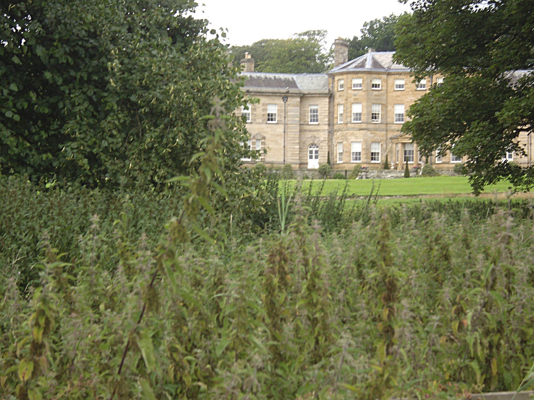
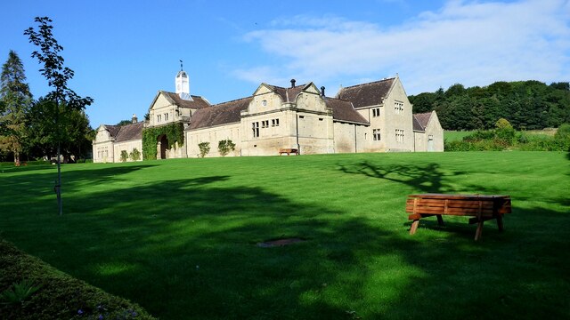
Chesters (Humshaugh)
Chesters is an 18th-century country mansion adjacent to Hadrian's Wall and the Roman fort of Cilurnum at Humshaugh, Northumberland, England. It is a Grade...

Cilurnum
Cilurnum or Cilurvum was a fort on Hadrian's Wall mentioned in the Notitia Dignitatum. It is now identified with the fort found at Chesters (also known...
Nearby Amenities
Located within 500m of 55.03238,-2.1483298Have you been to Graydons Hill?
Leave your review of Graydons Hill below (or comments, questions and feedback).