Black Hill
Hill, Mountain in Northumberland
England
Black Hill
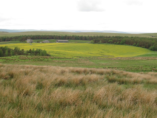
Located in Northumberland, England, Black Hill is a prominent hill that forms part of the stunning landscape of the North Pennines Area of Outstanding Natural Beauty. Standing at a height of 609 meters (1998 feet), it is one of the highest peaks in the region and offers breathtaking panoramic views of the surrounding countryside.
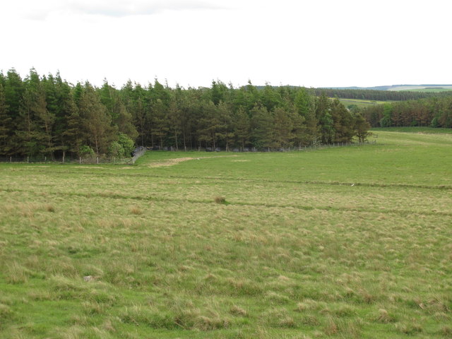
Characterized by its dark heather-covered slopes, the hill gets its name from the striking contrast it creates against the vibrant green fields and moorlands that stretch out beneath it. Black Hill is a popular destination for hikers, nature enthusiasts, and photographers due to its accessibility and the diverse range of flora and fauna found in the area.
The hill is easily accessible via various walking routes, with the most common starting point being the village of Blanchland. The trail to the summit is well-marked and offers a moderate level of difficulty, making it suitable for both experienced hikers and beginners. As visitors make their way to the top, they are treated to breathtaking views of the North Pennines, including nearby landscapes such as the Derwent Reservoir and the Northumberland National Park.
Black Hill is also home to a variety of wildlife, including red grouse, curlews, and black grouse. The hill's unique ecosystem supports a wide range of plants, such as heather, bilberry, and crowberry, which add to its visual appeal.
Overall, Black Hill in Northumberland is a stunning natural landmark that offers visitors the opportunity to immerse themselves in the beauty of the North Pennines. With its picturesque views and rich biodiversity, it is a must-visit destination for anyone seeking to experience the wonders of the British countryside.
If you have any feedback on the listing, please let us know in the comments section below.
Black Hill Images
Images are sourced within 2km of 55.268268/-2.1500904 or Grid Reference NY9097. Thanks to Geograph Open Source API. All images are credited.


Black Hill is located at Grid Ref: NY9097 (Lat: 55.268268, Lng: -2.1500904)
Unitary Authority: Northumberland
Police Authority: Northumbria
What 3 Words
///alien.iterative.smirking. Near Otterburn, Northumberland
Nearby Locations
Related Wikis

Otterburn Hall
Otterburn Hall is an English country house and estate in Otterburn, Northumberland. It is situated in 500 acres (200 ha) of deer park and woodland in...

Otterburn, Northumberland
Otterburn is a small village in Northumberland, England, 31 miles (50 km) northwest of Newcastle upon Tyne on the banks of the River Rede, near the confluence...

Billsmoor Park and Grasslees Wood
Billsmoor Park and Grasslees Wood is the name given to a Site of Special Scientific Interest (SSSI) in Northumberland, North East England, designated in...
Otterburn Tower
Otterburn Tower (sometimes spelled Otiburne; originally Otterburn Castle; currently Otterburn Tower Hotel) is a Grade II listed castellated, three star...
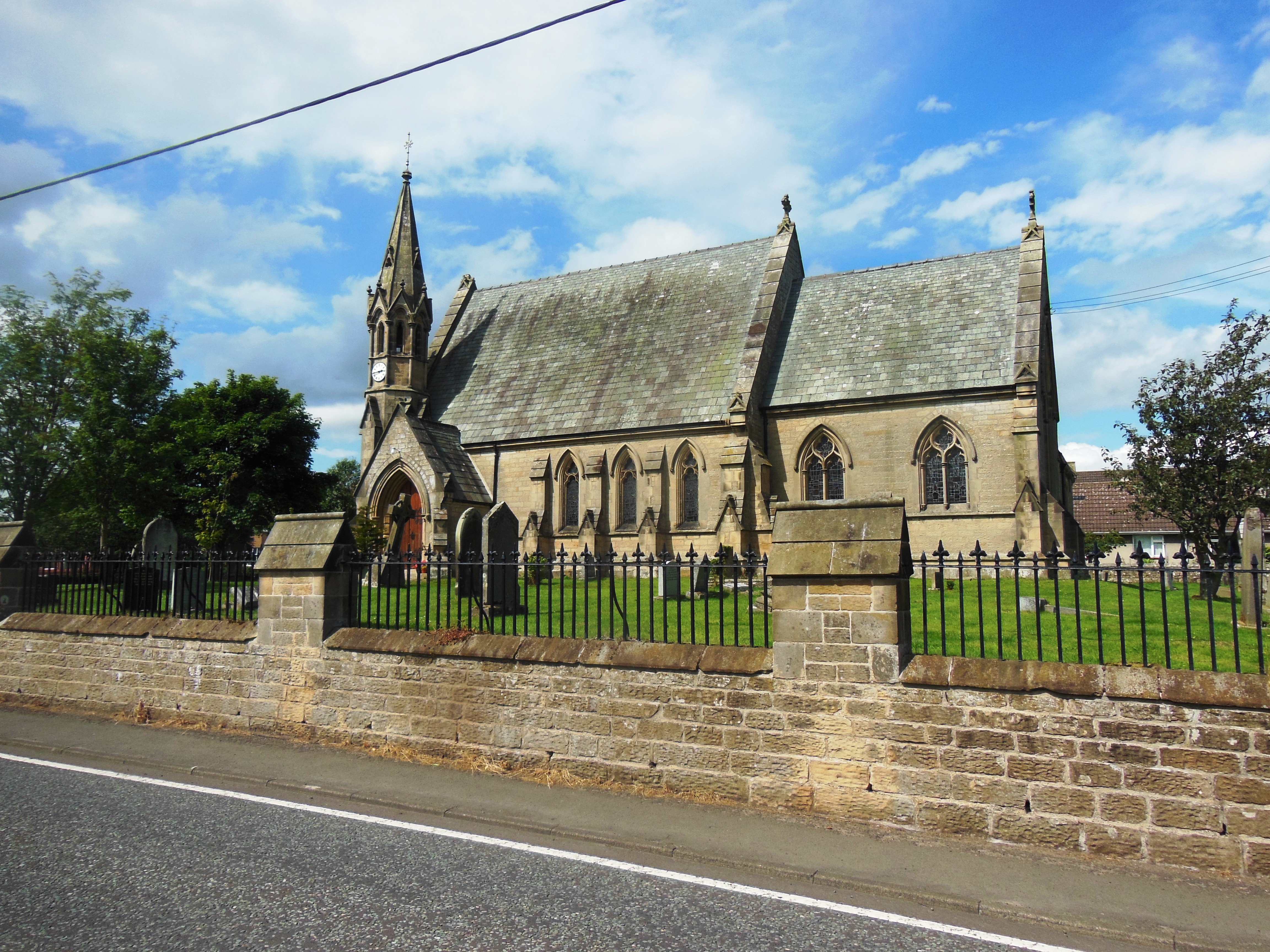
St John the Evangelist's Church, Otterburn
St John the Evangelist's Church is a church in Otterburn, Northumberland, northeast England, located off the A696 road. == History == The foundation stone...
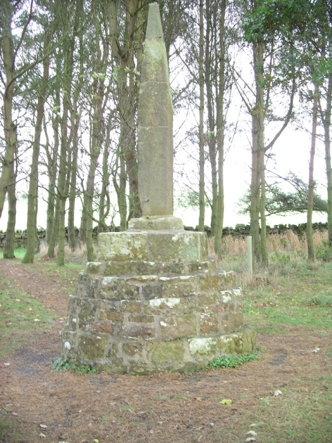
Percy Cross
The Percy Cross (also Battle Stone) is located just off the A696, 1 kilometre (0.62 mi) from Otterburn, Northumberland, England. It was erected before...
Battle of Otterburn
The Battle of Otterburn took place according to Scottish sources on 5 August 1388, or 19 August according to English sources, as part of the continuing...

Otterburn Mill
Otterburn Mill is a former textile mill in Otterburn, Northumberland, northeast England. It lies just south of the Otterburn Tower along the A696 road...
Nearby Amenities
Located within 500m of 55.268268,-2.1500904Have you been to Black Hill?
Leave your review of Black Hill below (or comments, questions and feedback).