Kemnay
Settlement in Aberdeenshire
Scotland
Kemnay
Kemnay is a small town located in the Aberdeenshire region of Scotland. Situated approximately 16 miles west of Aberdeen, it lies on the banks of the River Don. With a population of around 4,000 people, Kemnay is known for its picturesque surroundings and historic landmarks.
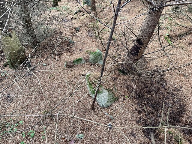
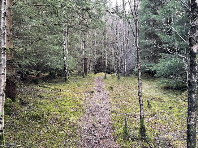
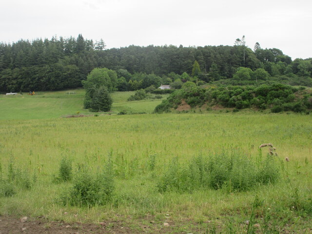
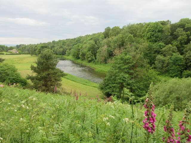
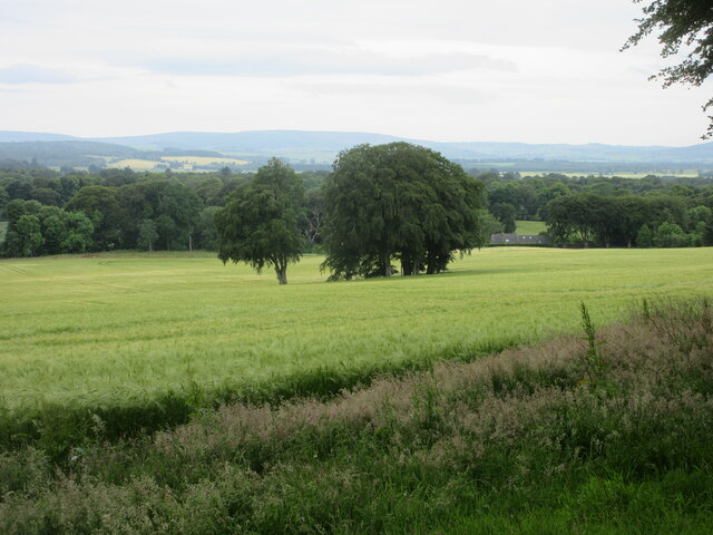
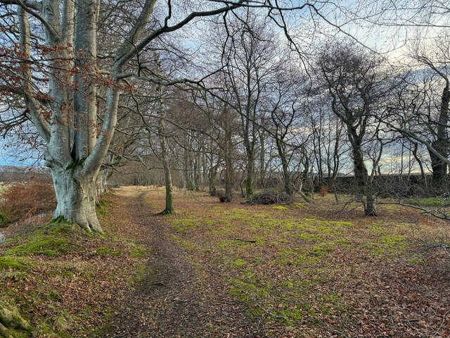
One of the notable features of Kemnay is its stunning countryside, which attracts nature enthusiasts and outdoor lovers. The town is surrounded by rolling hills and fertile farmland, making it an ideal location for scenic walks and hikes. The River Don also offers opportunities for fishing and boating.
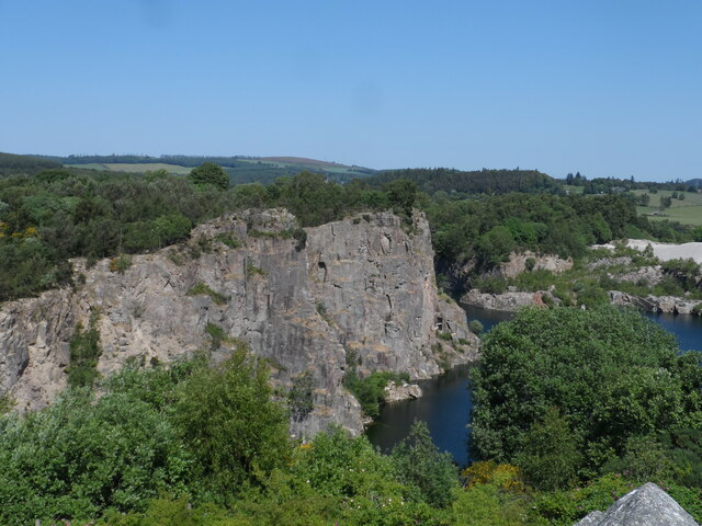
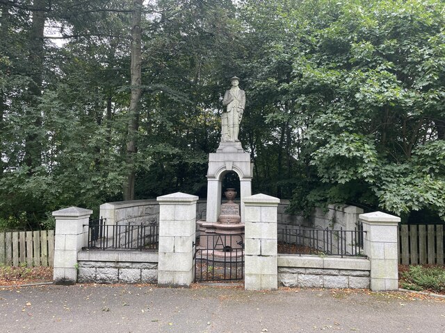
Kemnay is home to several historic buildings, including Kemnay House, a Georgian mansion that dates back to the 18th century. The town also has a rich industrial heritage, with a granite quarry that was once a major source of employment for the area.
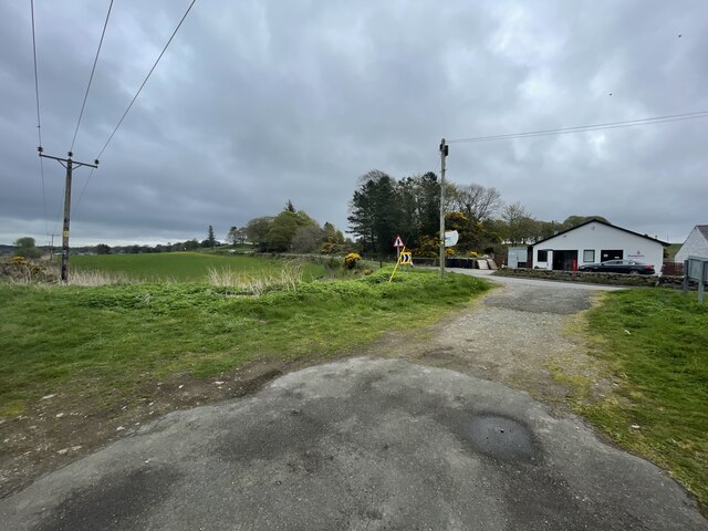
In terms of amenities, Kemnay has a range of facilities to cater to its residents. These include a primary school, a medical practice, a community center, and a number of shops and eateries. The town also has a golf course and a sports center, providing recreational opportunities for locals.
Overall, Kemnay offers a peaceful and picturesque setting, with a strong sense of community. Its proximity to Aberdeen allows residents to enjoy the benefits of city life while still being able to retreat to the tranquility of a small town.
If you have any feedback on the listing, please let us know in the comments section below.
Kemnay Images
Images are sourced within 2km of 57.236075/-2.445584 or Grid Reference NJ7316. Thanks to Geograph Open Source API. All images are credited.


Kemnay is located at Grid Ref: NJ7316 (Lat: 57.236075, Lng: -2.445584)
Unitary Authority: Aberdeenshire
Police Authority: North East
What 3 Words
///mouse.cycles.torso. Near Kemnay, Aberdeenshire
Nearby Locations
Related Wikis
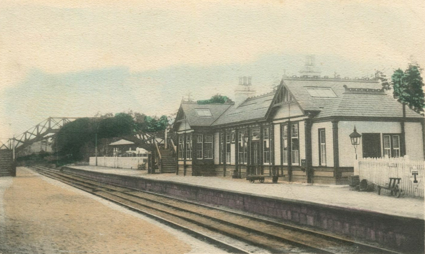
Kemnay railway station
Kemnay railway station was a station on the Alford Valley Railway in Kemnay, Aberdeenshire, which opened in 1858 and closed in 1950. == References... ==

Kemnay, Aberdeenshire
Kemnay (Gaelic: Camnaidh) is a village 16 miles (26 km) west of Aberdeen in Garioch, Aberdeenshire, Scotland. == History == The village name Kemnay is...

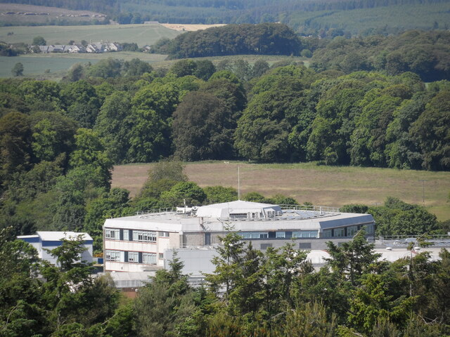
Kemnay Academy
Kemnay Academy is a secondary school in Kemnay, Aberdeenshire, situated on the banks of the River Don. It is one of seventeen secondary schools run by...

Kemnay House
Kemnay House is a 17th-century tower house, now incorporated in a later house, about 5.5 miles (8.9 km) south and west of Inverurie, Aberdeenshire, Scotland...
Nearby Amenities
Located within 500m of 57.236075,-2.445584Have you been to Kemnay?
Leave your review of Kemnay below (or comments, questions and feedback).