Famish Hill

Hill, Mountain in Gloucestershire Stroud

England

Famish Hill

Faint line of a footpath Heading eastwards from Bunnage towards Whiteway.
Faint line of a footpath Credit: Jonathan Billinger

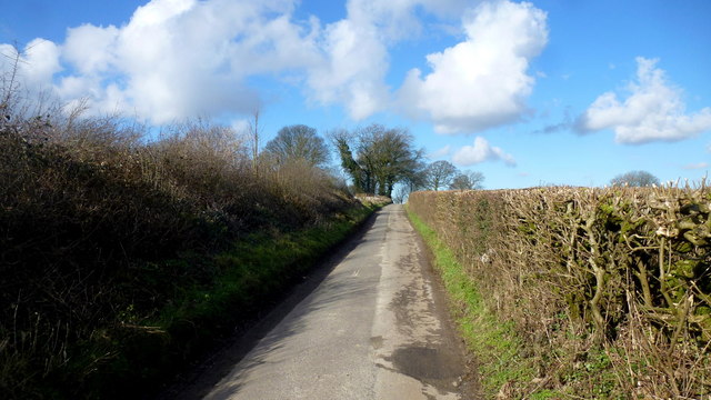
Famish Hill is a prominent hill located in the county of Gloucestershire, England. Situated in the Cotswold Hills, it offers breathtaking views of the surrounding countryside and is a popular destination for hikers and nature enthusiasts alike.

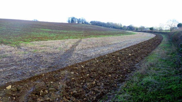
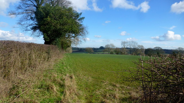
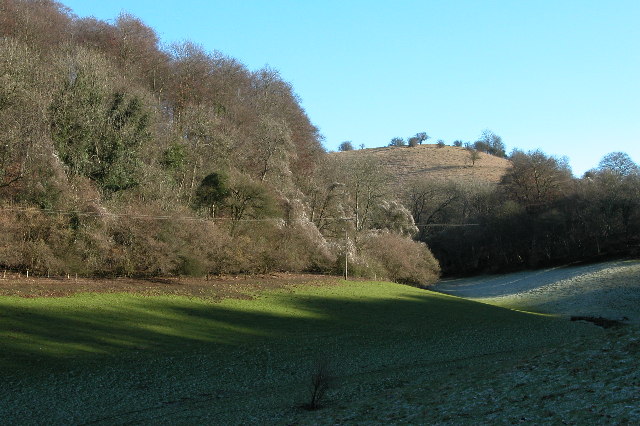
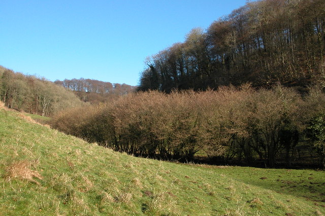
Rising to an elevation of approximately 230 meters (750 feet), Famish Hill stands as one of the highest points in the region, providing panoramic vistas across the picturesque Gloucestershire landscape. The hill is characterized by its gently sloping sides, covered in lush green grass and sporadic patches of woodland. As visitors ascend the hill, they are greeted by a diverse range of flora and fauna, including wildflowers, butterflies, and various bird species.

The summit of Famish Hill offers an unobstructed view in all directions, allowing visitors to appreciate the beauty of the rolling hills, meandering rivers, and charming villages that dot the Gloucestershire countryside. On a clear day, it is even possible to glimpse the distant peaks of the nearby Malvern Hills.

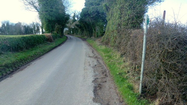
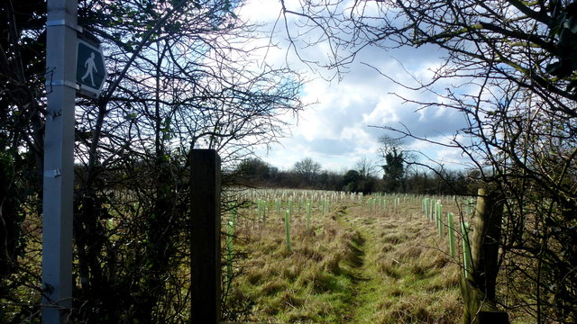
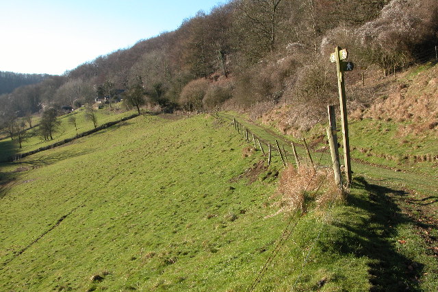
Access to Famish Hill is convenient, with several footpaths and trails leading to its summit. These routes are well-maintained and suitable for walkers of all abilities. The hill is also a popular spot for paragliders, who take advantage of the gentle slopes and favorable wind conditions to soar through the skies.

Whether it's for a leisurely stroll, a challenging hike, or simply to soak in the natural beauty, Famish Hill provides a serene and idyllic setting for visitors to Gloucestershire.

If you have any feedback on the listing, please let us know in the comments section below.

Famish Hill Images

Images are sourced within 2km of 51.783717/-2.1405528 or Grid Reference SO9009. Thanks to Geograph Open Source API. All images are credited.

Faint line of a footpath Heading eastwards from Bunnage towards Whiteway.
Faint line of a footpath
Heading eastwards from Bunnage towards Whiteway.
Lane to Bunnage Looking west from the footpath sign for this path; <a href="https://www.geograph.org.uk/photo/4865645">SO9009 : Faint line of a footpath</a>.
Lane to Bunnage
Looking west from the footpath sign for this path; SO9009 : Faint line of a footpath.
View to Hazle Manor Showing how waterlogged the ground is this late winter.
View to Hazle Manor
Showing how waterlogged the ground is this late winter.
The Calf Way Looking north from the crossroads near Hazle Manor.
The road leads to Birdlip and Gloucester.
Possibly an old drover's road.
The Calf Way
Looking north from the crossroads near Hazle Manor. The road leads to Birdlip and Gloucester. Possibly an old drover's road.
Substation near The Camp Viewed from the crossroads on the Calf way near Hazle Manor.
Substation near The Camp
Viewed from the crossroads on the Calf way near Hazle Manor.
Footpath east from Througham Lane Follows this field edge towards Honeycombe Farm over typical Cotswolds countryside.
Footpath east from Througham Lane
Follows this field edge towards Honeycombe Farm over typical Cotswolds countryside.
Footpath west from Througham Lane Passes through recently-planted woodland of the future.
Footpath west from Througham Lane
Passes through recently-planted woodland of the future.
Througham Lane Looking north towards The Camp.
Througham Lane
Looking north towards The Camp.
Old Direction Sign - Signpost by Holbrook Cottage, Calf Way Ball finial - 3 arms; by the UC road, in parish of Bisley with Lypiatt (Stroud District), Calf Way.

To be surveyed

Milestone Society National ID: GL_SO9007
Old Direction Sign - Signpost by Holbrook Cottage, Calf Way
Ball finial - 3 arms; by the UC road, in parish of Bisley with Lypiatt (Stroud District), Calf Way. To be surveyed Milestone Society National ID: GL_SO9007
Footpath near Whiteway
Whiteway Village
Whiteway Village
Stone stile north of Hazle Manor, Wishanger GS9268 Stone slab stile off Calf Way, the road Fostons Ash to Bisley Road. Off the east side of Calf Way and just north of Hazle Manor, Wishanger. On public right of way MMN17, Miserden parish.
Stone stile north of Hazle Manor, Wishanger GS9268
Stone slab stile off Calf Way, the road Fostons Ash to Bisley Road. Off the east side of Calf Way and just north of Hazle Manor, Wishanger. On public right of way MMN17, Miserden parish.
Stone stile north of Hazle Manor, Wishanger GS9268 Stone slab stile off Calf Way, the road Fostons Ash to Bisley Road. Off the east side of Calf Way and just north of Hazle Manor, Wishanger. On public right of way MMN17. Miserden parish
View from Calf Way
Stone stile north of Hazle Manor, Wishanger GS9268
Stone slab stile off Calf Way, the road Fostons Ash to Bisley Road. Off the east side of Calf Way and just north of Hazle Manor, Wishanger. On public right of way MMN17. Miserden parish View from Calf Way
Calf Way heading north Towards Birdlip.
Calf Way heading north
Towards Birdlip.
Honeycombe Farm Down at the bottom of a muddy track in January, Honeycombe Farm sits at the base of a valley. The holes in the barn roof are for keeping doves.
Honeycombe Farm
Down at the bottom of a muddy track in January, Honeycombe Farm sits at the base of a valley. The holes in the barn roof are for keeping doves.
Nottingham Scrubs This view is at the top end of the valley above the village of Slad.
Nottingham Scrubs
This view is at the top end of the valley above the village of Slad.
Famish Hill Plantation This is at the top of the Slad valley
Famish Hill Plantation
This is at the top of the Slad valley
A junction of footpaths in the Slad valley
Show me another place!

Famish Hill is located at Grid Ref: SO9009 (Lat: 51.783717, Lng: -2.1405528)

Administrative County: Gloucestershire

District: Stroud

Police Authority: Gloucestershire

What 3 Words

///fellow.demand.capillary. Near Painswick, Gloucestershire

Related Wikis

Rough Bank, Miserden

Rough Bank, Miserden (grid reference SO907087) is a 9.2-hectare (23-acre) biological Site of Special Scientific Interest in Gloucestershire, notified in...

The Camp, Gloucestershire

The Camp is a hamlet in the south of Gloucestershire, approximately 10 miles south of Cheltenham and 5 miles north-east of Stroud. It is in the parish...

Sheepscombe

Sheepscombe is a small village in the civil parish of Painswick, in the Stroud district, in the county of Gloucestershire, England. Sheepscombe is located...

Workmans Wood, Sheepscombe

Workmans Wood (grid reference SO900109) is a wood just to the east of the village of Sheepscombe, in the Cotswolds, Gloucestershire. It is a biological...

Whiteway Colony

Whiteway Colony is a residential community in the Cotswolds in the parish of Miserden near Stroud, Gloucestershire, United Kingdom. The community was founded...

Snows Farm Nature Reserve

Snows Farm Nature Reserve (grid reference SO887081) is a 21.3-hectare (53-acre) nature reserve in Gloucestershire. The site is listed in the ‘Stroud District...

Painswick Lodge

Painswick Lodge is a grade I listed house in Painswick, Gloucestershire, England. The rubble stone building, which has been extensively reworked and remodelled...

Miserden

Miserden is a village and civil parish in Stroud District, Gloucestershire, England, 4 miles north east of Stroud. The parish includes Whiteway Colony...

Nearby Amenities

Located within 500m of 51.783717,-2.1405528
Famish Hill
Natural: peak
Source: NPE
Lat/Long: 51.7834654/-2.138446
Description: Source of the Dillay Brook
Natural: spring
Source: NPE + local knowledge
Lat/Long: 51.7815821/-2.1410693
Bus Stop
Greystones
Bus: yes
Naptan AtcoCode: 1600GLS1149
Naptan Bearing: E
Naptan CommonName: Greystones
Naptan NaptanCode: glogmatg
Naptan Street: Withybed Ln
Naptan Verified: no
Public Transport: platform
Source: naptan_import
Lat/Long: 51.7866027/-2.1456129
Bus Stop
Greystones
Bus: yes
Naptan AtcoCode: 1600GLS1150
Naptan Bearing: W
Naptan CommonName: Greystones
Naptan NaptanCode: glogmatj
Naptan Street: Withybed Ld
Naptan Verified: no
Public Transport: platform
Source: naptan_import
Lat/Long: 51.7865165/-2.1456579
Power: pole
Lat/Long: 51.7860725/-2.1401468
Power: pole
Lat/Long: 51.7858784/-2.1461952
Power: pole
Lat/Long: 51.7859157/-2.1413967
Power: pole
Lat/Long: 51.7860095/-2.138858
Power: pole
Lat/Long: 51.7859896/-2.140203
Power: pole
Lat/Long: 51.7861256/-2.1372191
Power: pole
Lat/Long: 51.7860393/-2.1409957
Power: pole
Lat/Long: 51.7861853/-2.1354878
Power: pole
Lat/Long: 51.7857722/-2.1462931
Power: pole
Lat/Long: 51.7861198/-2.1387949
Power: pole
Lat/Long: 51.7862785/-2.1354535
Power: pole
Lat/Long: 51.78587/-2.1422215
Power: pole
Lat/Long: 51.7862018/-2.1372165
Power: pole
Lat/Long: 51.7858211/-2.1438616
Power: pole
Lat/Long: 51.7859331/-2.1437798
Power: pole
Lat/Long: 51.7858004/-2.145133
Power: pole
Lat/Long: 51.7859829/-2.1422054
The data included in this document is from www.openstreetmap.org. The data is made available under ODbL.

Have you been to Famish Hill?

Leave your review of Famish Hill below (or comments, questions and feedback).