High Bracken Hill
Hill, Mountain in Northumberland
England
High Bracken Hill
High Bracken Hill is a prominent hill located in Northumberland, England. Standing at an elevation of approximately 292 meters (958 feet), it offers stunning panoramic views of the surrounding countryside. The hill is part of the Northumberland National Park, known for its rugged beauty and diverse wildlife.
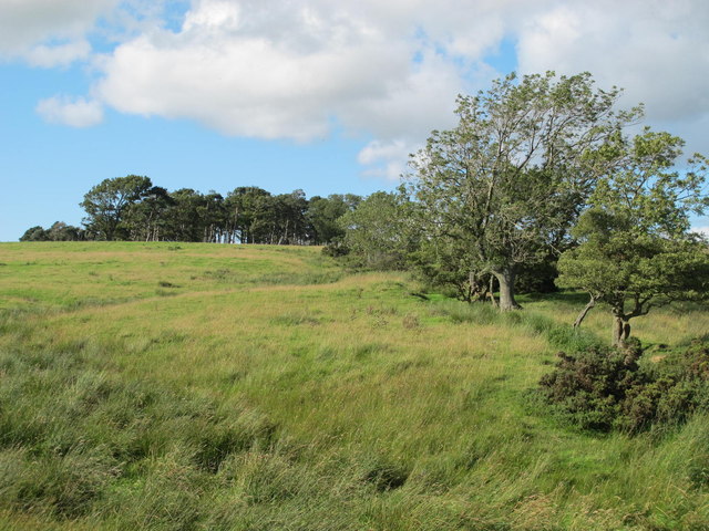
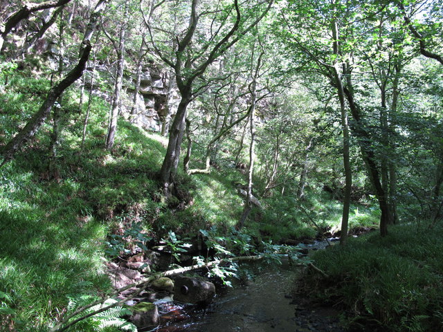
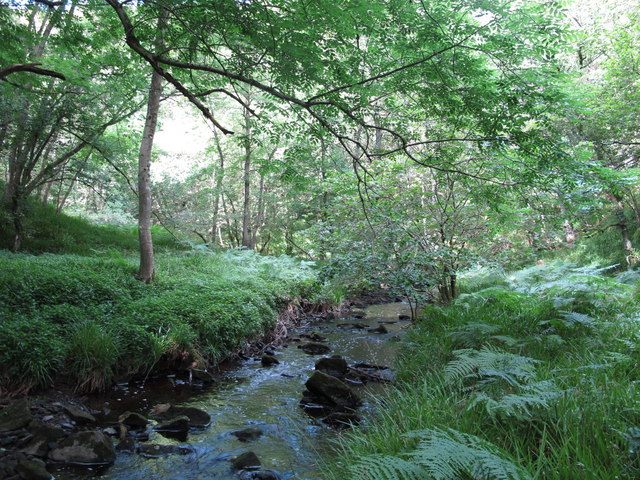
High Bracken Hill is covered in a mix of heather, bracken, and grasses, providing habitat for a variety of bird species and other wildlife. The hill is popular among hikers and outdoor enthusiasts, with several walking trails leading to the summit. The climb to the top is moderate in difficulty, making it accessible to a wide range of visitors.
At the summit of High Bracken Hill, visitors can enjoy sweeping views of the Cheviot Hills to the north and the North Sea to the east. On clear days, it is possible to see as far as the Scottish Borders to the north. The hill is a peaceful and serene spot, perfect for picnics or simply taking in the natural beauty of the Northumberland countryside.
If you have any feedback on the listing, please let us know in the comments section below.
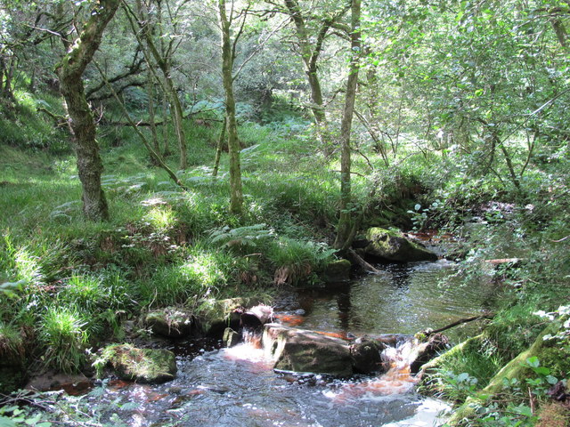
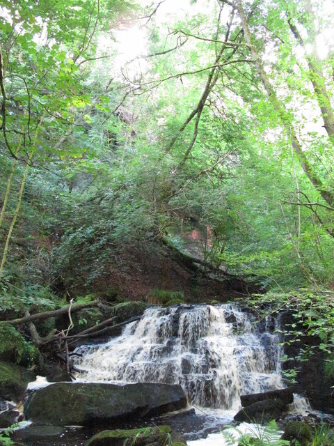
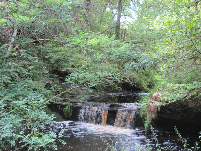
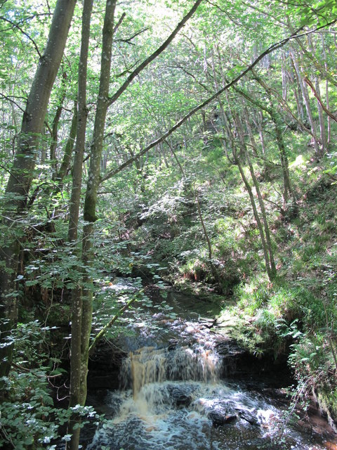
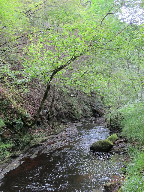
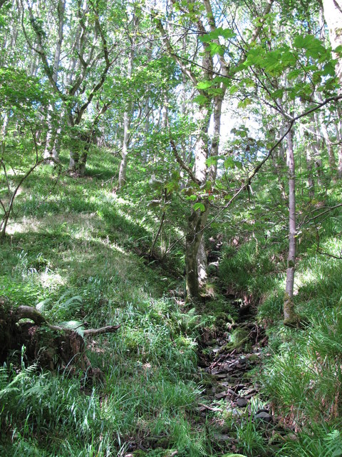
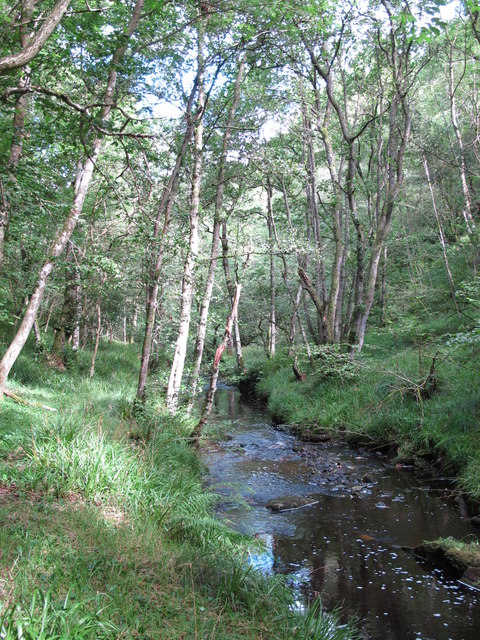
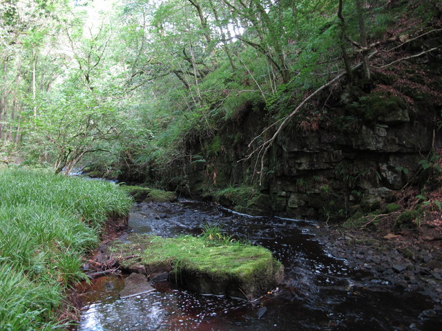
High Bracken Hill Images
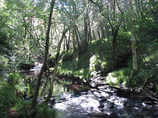
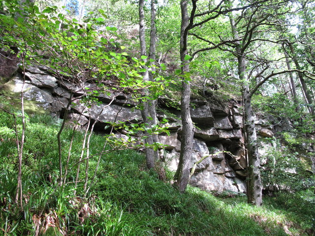
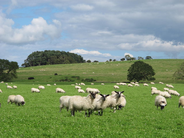
Images are sourced within 2km of 54.960315/-2.1520773 or Grid Reference NY9062. Thanks to Geograph Open Source API. All images are credited.


High Bracken Hill is located at Grid Ref: NY9062 (Lat: 54.960315, Lng: -2.1520773)
Unitary Authority: Northumberland
Police Authority: Northumbria
What 3 Words
///profited.replayed.gateway. Near Warden, Northumberland
Nearby Locations
Related Wikis

St Joseph's Roman Catholic Middle School
St Joseph's Roman Catholic Middle School is one of the two middle schools in Hexham, Northumberland, England, the other being Hexham Middle School. The...
Queen Elizabeth High School, Hexham
Queen Elizabeth High School (QEHS) is a coeducational high school and sixth form located in Hexham, Northumberland, England. == History == The school was...

Dare Wilson Barracks
Dare Wilson Barracks, is a military installation in Hexham, Northumberland. The building is named after Major General Dare Wilson who was commissioned...
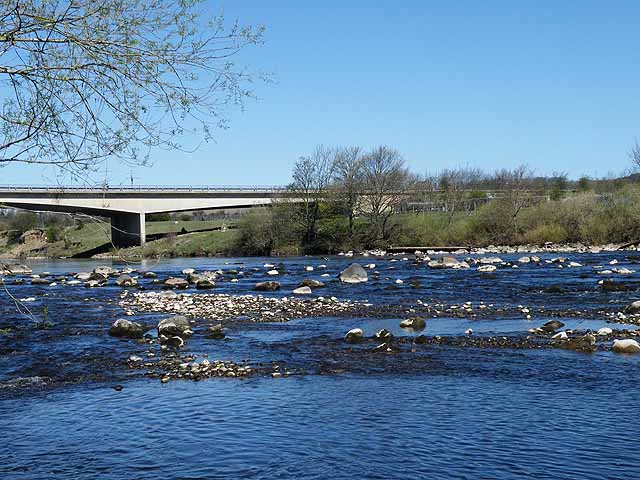
Constantius Bridge
Constantius Bridge is a modern concrete bridge across the River Tyne about 1 mile (2 km) north west of Hexham, Northumberland, England. The bridge carries...
Nearby Amenities
Located within 500m of 54.960315,-2.1520773Have you been to High Bracken Hill?
Leave your review of High Bracken Hill below (or comments, questions and feedback).