Cemais Comawndwr
Settlement in Monmouthshire
Wales
Cemais Comawndwr
Cemais Comawndwr is a small rural community located in the county of Monmouthshire, Wales. Situated in the western part of the county, it covers an area that stretches from the rolling hills of the Black Mountains to the banks of the River Usk.
The community is made up of several small villages and hamlets, including Crickhowell, Llangattock, and Llangenny. These settlements are known for their picturesque landscapes, with lush green fields, meandering rivers, and stunning views of the surrounding mountains.
Cemais Comawndwr is a popular destination for outdoor enthusiasts due to its proximity to the Brecon Beacons National Park. The park offers a variety of activities, including hiking, cycling, and horseback riding, attracting visitors from both near and far.
The area is also rich in history and heritage, with several historical sites and landmarks within its boundaries. The ruins of Crickhowell Castle, for example, date back to the 12th century and provide a glimpse into the region's medieval past.
In terms of amenities, Cemais Comawndwr offers a range of services to its residents and visitors. There are local shops, cafes, and restaurants scattered throughout the community, providing essential goods and a taste of local cuisine.
Overall, Cemais Comawndwr is a charming and idyllic community that offers a peaceful retreat for those seeking a rural escape, while also providing access to outdoor adventures and a glimpse into Wales' rich history.
If you have any feedback on the listing, please let us know in the comments section below.
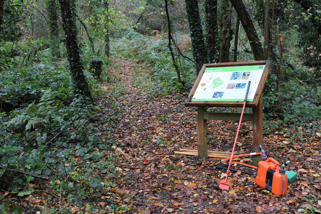
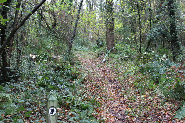
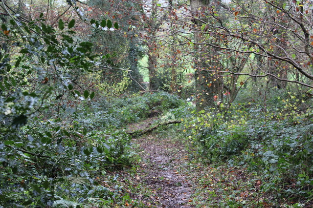
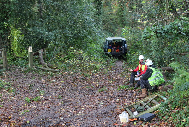
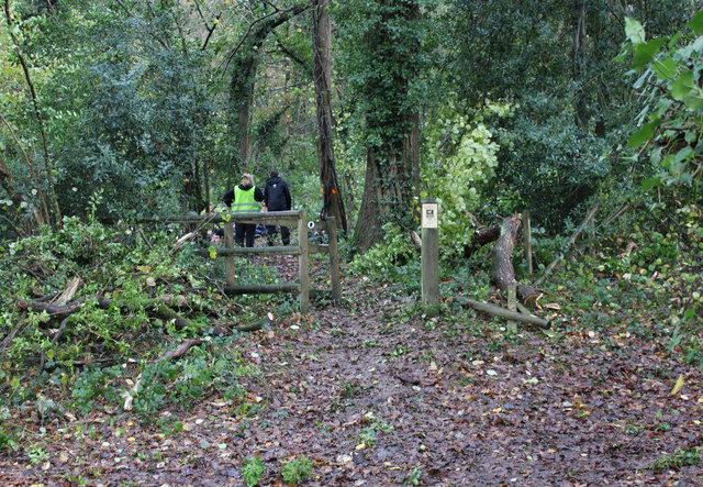
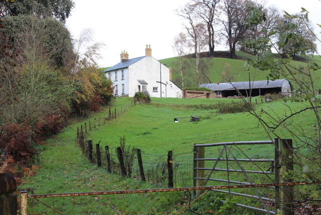
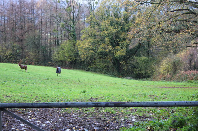
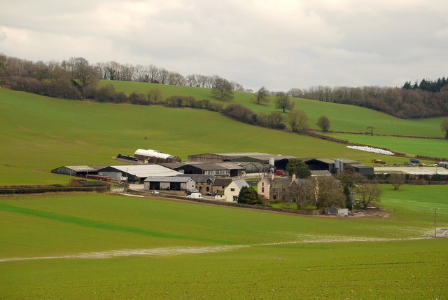
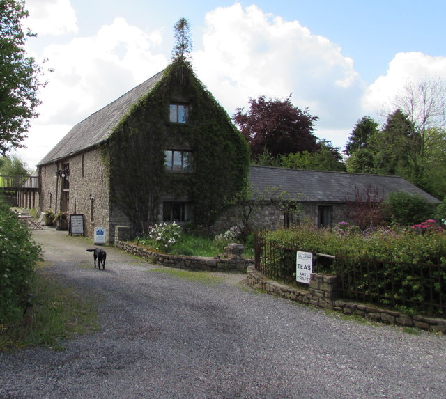
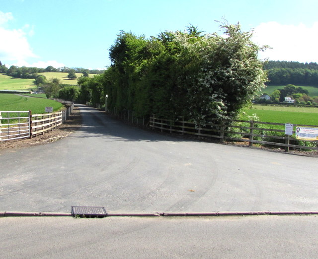
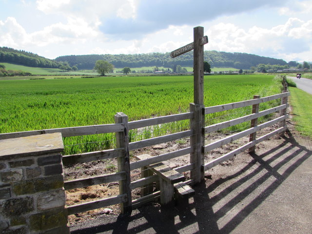
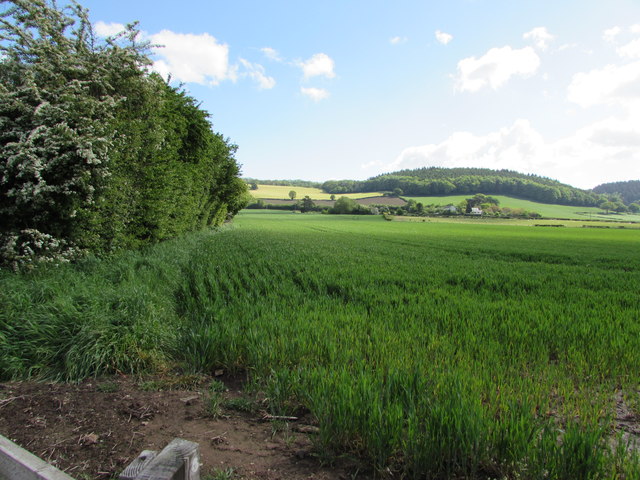
Cemais Comawndwr Images
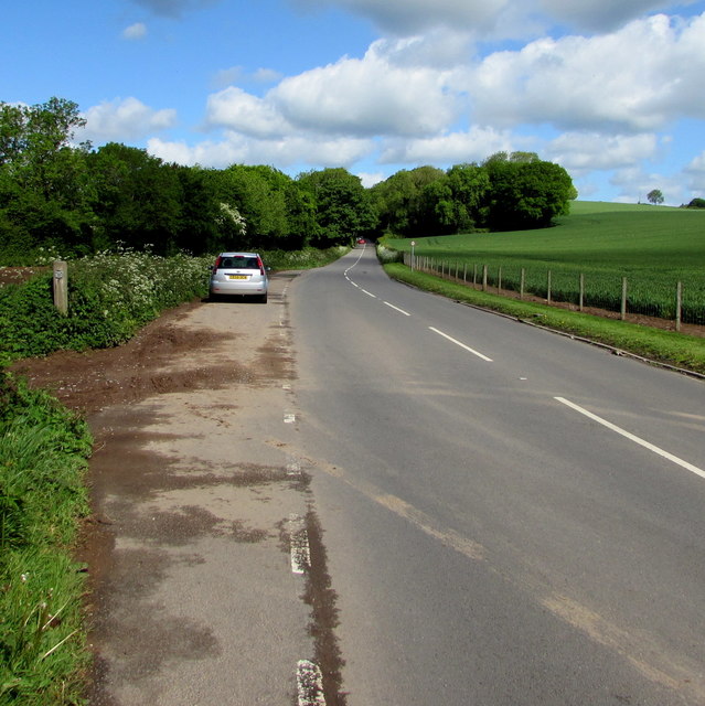
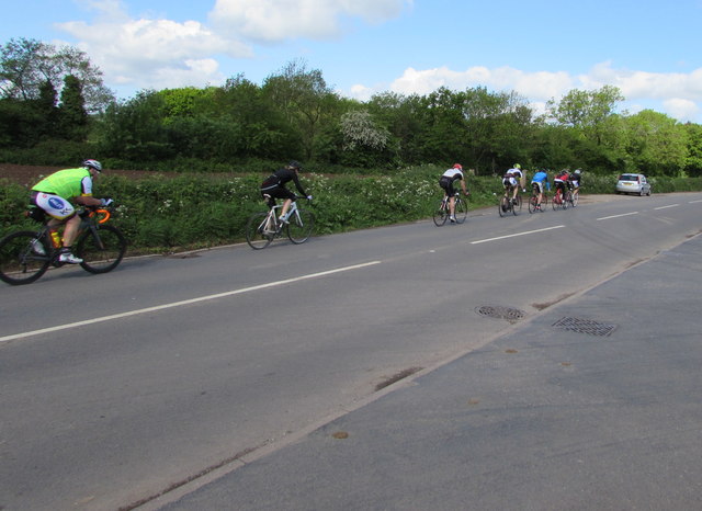
Images are sourced within 2km of 51.738313/-2.946963 or Grid Reference SO3404. Thanks to Geograph Open Source API. All images are credited.
Cemais Comawndwr is located at Grid Ref: SO3404 (Lat: 51.738313, Lng: -2.946963)
Unitary Authority: Monmouthshire
Police Authority: Gwent
Also known as: Kemeys Commander
What 3 Words
///tweeted.scribble.scare. Near Usk, Monmouthshire
Nearby Locations
Related Wikis

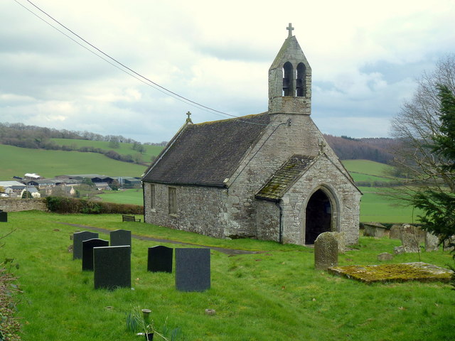
Church of All Saints, Kemeys Commander
The Church of All Saints, Kemeys Commander, Monmouthshire, Wales, is a parish church with its origins in the 13th century. It is a Grade II* listed building...

Church Farmhouse, Kemeys Commander
Church Farmhouse, Kemeys Commander, Monmouthshire is a former parsonage dating from the mid-16th century. The farmhouse and the attached barn are Grade...
Kemeys Commander
Kemeys Commander (Welsh: Cemais Comawndwr) is a village in Monmouthshire, in South East Wales. == Location == Kemeys Commander, 3 miles (4.8 km) north...

Alice Springs Golf Club
Alice Springs Golf Club - Now Closed (Welsh: Clwb Golff Alice Springs) is a former golf club based just outside Usk at Monmouthshire, Wales. Alice Springs...

St David's Church, Trostrey
The Church of St David, Trostrey, Monmouthshire, Wales, is a parish church with its origins in the 14th century. Its founder may have been Geoffrey Marshall...
Trostrey
Trostrey (Welsh: Trostre) is a small hamlet and parish in Monmouthshire, in southeast Wales located about 2+1⁄2 miles (4.0 km) north/northwest of Usk....
Goytre A.F.C.
Goytre Association Football Club is a football club is based in the village of Penperlleni, Monmouthshire in South Wales. The team play in the Ardal Leagues...
Monmouth Town F.C.
Monmouth Town Football Club is a Welsh football club based in the historic town of Monmouth. They currently play in the Gwent County League Premier Division...
Related Videos

Lunch time part 1 #travel #reels #vlog
Harley-Davidson ride to the Baffle haus for lunchtime travelling in summer enjoying life experiences.

Lunch Part 2 #travel #reels #vlog #biker
Baffle haus lunchtime burgers and chips washed down with a diet coke Traveling south for a day living the dream before returning ...

Usk Valley Walk with Otis : Part 6 : The Chainbridge Inn at Kemeys Commander to Llanellen
Otis enjoys the sights along the banks of the River Usk, whilst following the Usk Valley Walk. Follow Otis on Instagram ...
Goytre Wharf
A nice early morning walk Along the Canal at Goytre Wharf ,hope you enjoy feel free to share on your media webpage and ...
Nearby Amenities
Located within 500m of 51.738313,-2.946963Have you been to Cemais Comawndwr?
Leave your review of Cemais Comawndwr below (or comments, questions and feedback).