Beldi Hill
Hill, Mountain in Yorkshire Richmondshire
England
Beldi Hill
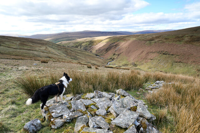
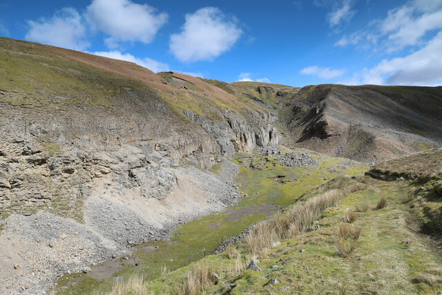
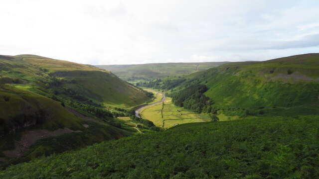
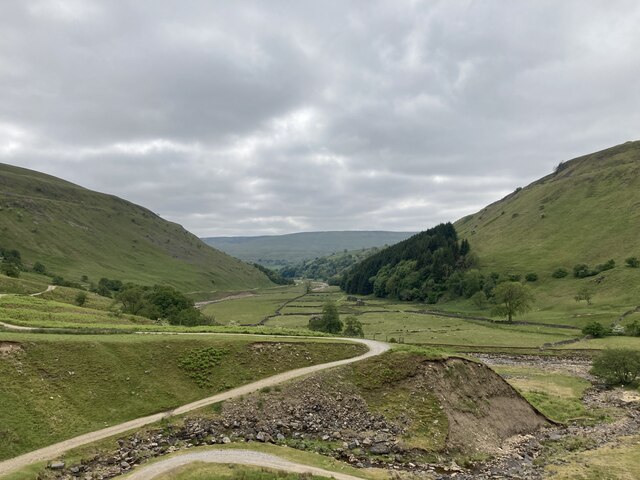
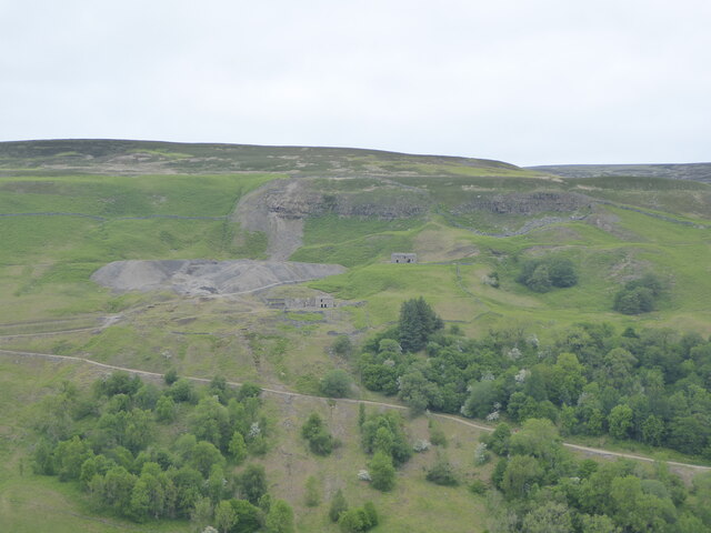
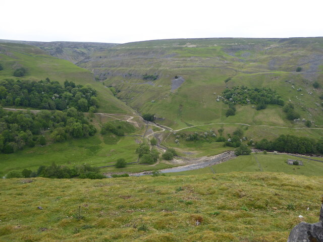
Beldi Hill is located in the picturesque region of Yorkshire, England. Standing at an elevation of approximately 500 meters, it is classified as a hill rather than a mountain due to its modest height. Despite its relatively small size, Beldi Hill offers stunning panoramic views of the surrounding countryside.
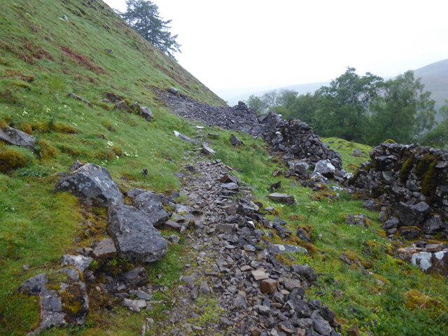
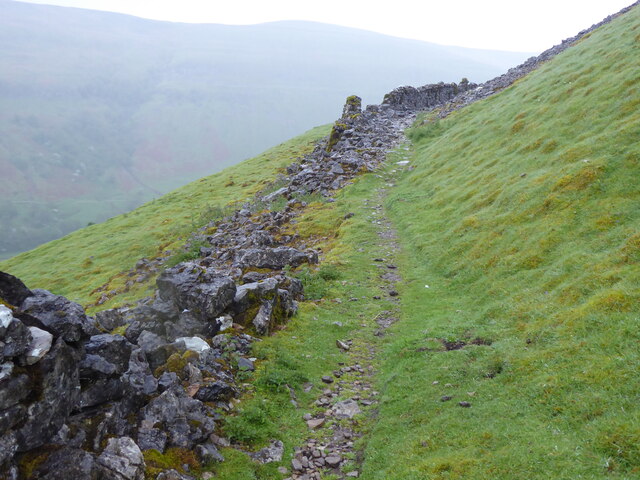
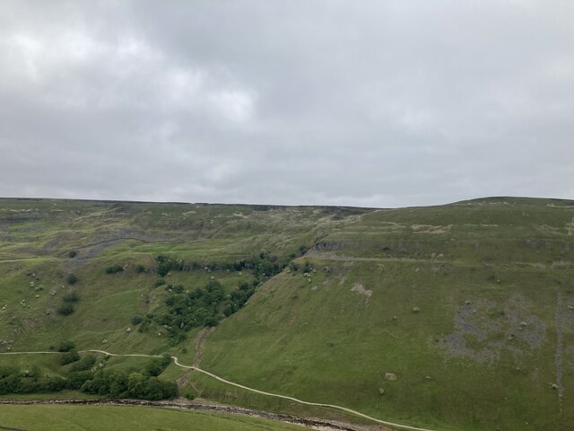
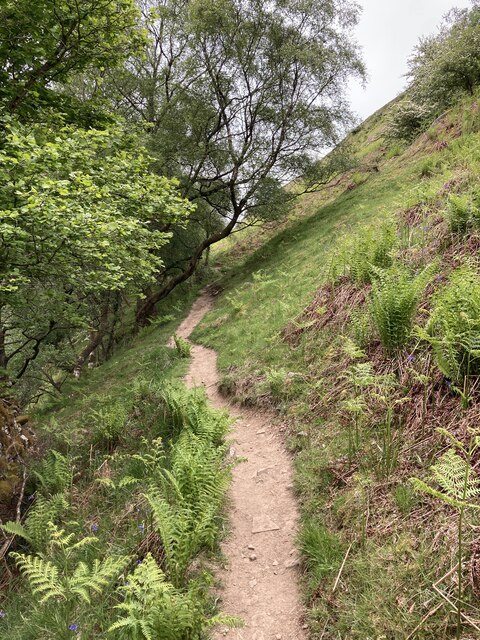
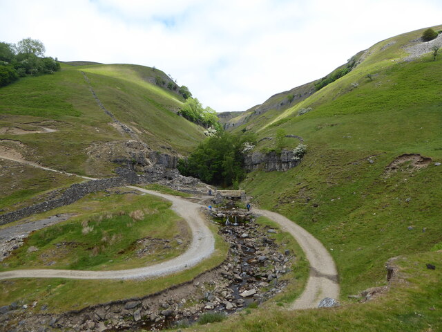
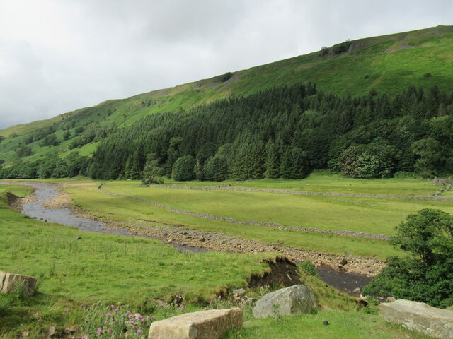
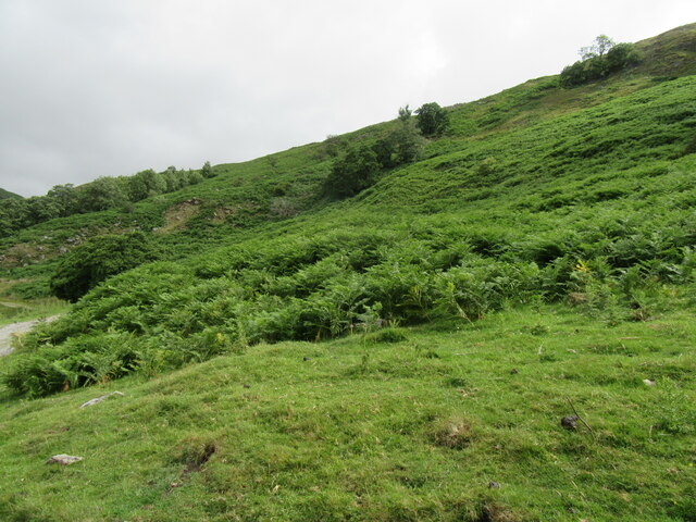
The hill is known for its distinctive shape, with a gentle slope on one side and a steeper incline on the other. This topography makes it a popular destination for hiking enthusiasts and nature lovers. The well-marked trails that crisscross the hill provide a variety of routes suitable for all levels of fitness and experience.
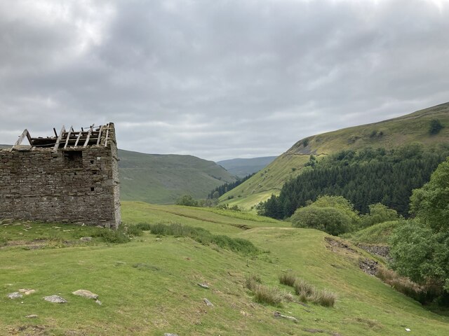
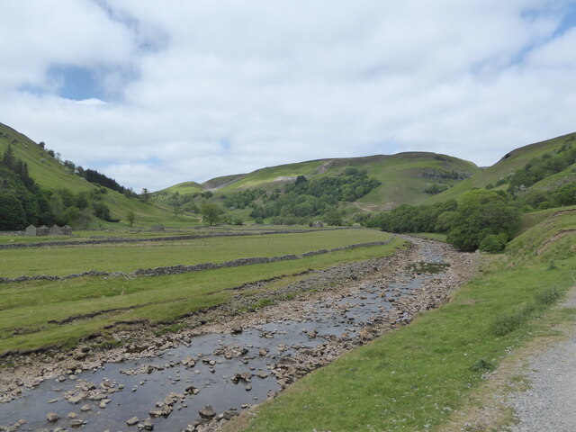
The vegetation on Beldi Hill is diverse, encompassing lush green meadows, dense woodland, and pockets of wildflowers, especially during the spring and summer months. The hill is also home to a wide range of wildlife, including various bird species, rabbits, and occasionally deer.
At the summit of Beldi Hill, visitors are rewarded with breathtaking views of the surrounding countryside. On clear days, it is possible to see for miles, with rolling hills, quaint villages, and even glimpses of distant lakes. This vantage point makes it a popular spot for photographers and artists seeking inspiration from the natural beauty of the Yorkshire landscape.
Overall, Beldi Hill offers an accessible and enjoyable outdoor experience for those seeking a tranquil escape or a challenging hike in the heart of Yorkshire.
If you have any feedback on the listing, please let us know in the comments section below.
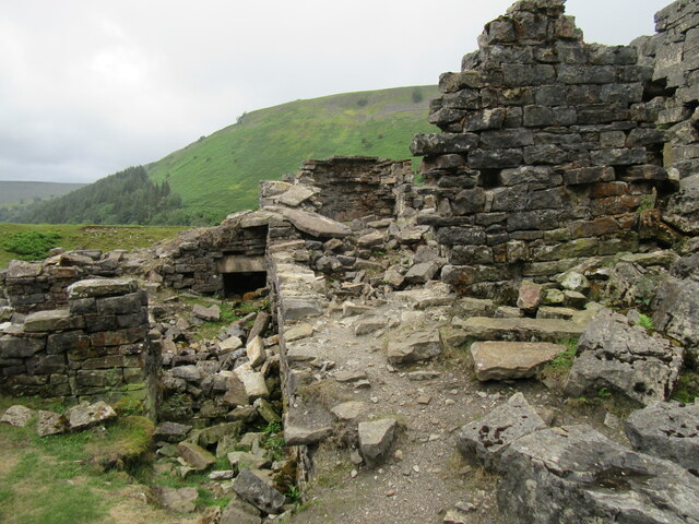
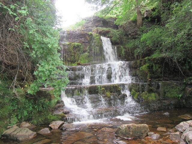
Beldi Hill Images
Images are sourced within 2km of 54.405335/-2.153156 or Grid Reference NY9001. Thanks to Geograph Open Source API. All images are credited.
Beldi Hill is located at Grid Ref: NY9001 (Lat: 54.405335, Lng: -2.153156)
Division: North Riding
Administrative County: North Yorkshire
District: Richmondshire
Police Authority: North Yorkshire
What 3 Words
///finest.advising.momentous. Near Kirkby Stephen, Cumbria
Nearby Locations
Related Wikis

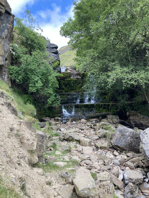
Kisdon Force
Kisdon Force is a series of waterfalls on the River Swale in Swaledale, England. The falls are situated within the Yorkshire Dales National Park in the...

East Gill Force
East Gill Force is a waterfall in Swaledale, 330 yards (300 m) east of the hamlet of Keld, in the Yorkshire Dales National Park, North Yorkshire, England...

Keld, North Yorkshire
Keld is a village in the English county of North Yorkshire. It is in Swaledale, and the Yorkshire Dales National Park. The name derives from the Viking...

Catrake Force
Catrake Force is a waterfall on the River Swale in North Yorkshire, England. It is not visible from the road but is accessible via a campsite in Keld....
Nearby Amenities
Located within 500m of 54.405335,-2.153156Have you been to Beldi Hill?
Leave your review of Beldi Hill below (or comments, questions and feedback).