Crutch Hill
Hill, Mountain in Worcestershire Wychavon
England
Crutch Hill
Crutch Hill is a prominent hill located in the county of Worcestershire, England. Rising to an elevation of approximately 259 meters (850 feet), it forms part of the rolling Malvern Hills range, which stretches across the border of Worcestershire and Herefordshire. Crutch Hill is situated near the village of Storridge, just a few miles east of the town of Malvern.
This hill offers stunning panoramic views of the surrounding countryside, making it a popular destination for outdoor enthusiasts and nature lovers. Its distinctive shape, resembling a crutch or walking stick, gives it its unique name. The hill is covered in lush green vegetation, mainly consisting of grasses, wildflowers, and scattered trees.
At the summit of Crutch Hill, visitors can enjoy breathtaking vistas of the Worcestershire countryside, with the Malvern Hills and the nearby Teme Valley in sight. On clear days, the view extends as far as the Cotswold Hills to the east and the Welsh mountains to the west.
Crutch Hill is also a popular spot for walking, hiking, and picnicking. There are several well-marked trails leading to the summit, catering to different levels of difficulty. The hill's location within the Malvern Hills Area of Outstanding Natural Beauty ensures that it remains a cherished and protected natural landmark. Whether for leisurely walks, stunning views, or a tranquil escape into nature, Crutch Hill offers a delightful experience for visitors of all ages and interests.
If you have any feedback on the listing, please let us know in the comments section below.
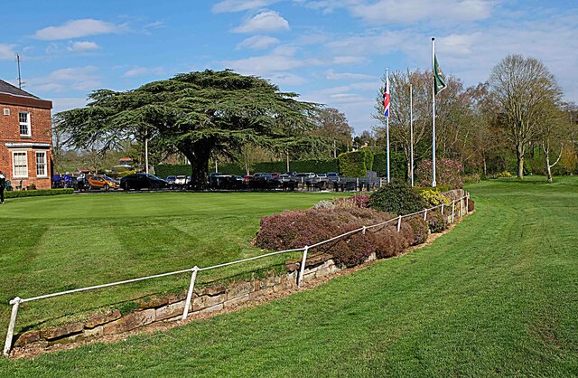
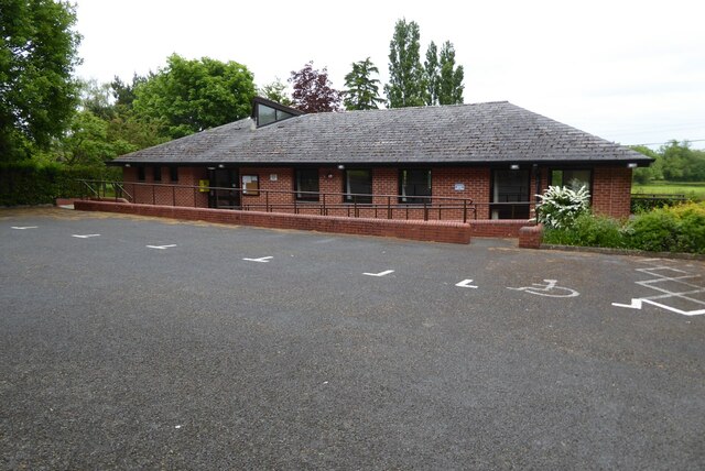
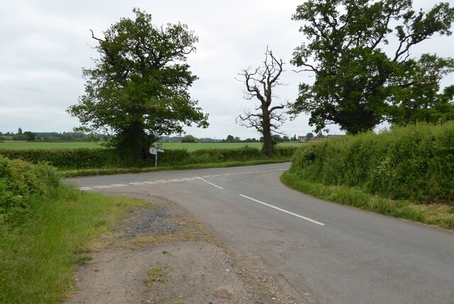
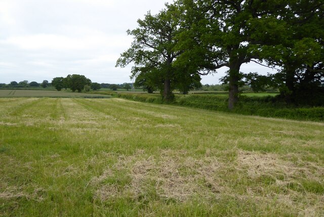
Crutch Hill Images
Images are sourced within 2km of 52.292418/-2.1466322 or Grid Reference SO9066. Thanks to Geograph Open Source API. All images are credited.


Crutch Hill is located at Grid Ref: SO9066 (Lat: 52.292418, Lng: -2.1466322)
Administrative County: Worcestershire
District: Wychavon
Police Authority: West Mercia
What 3 Words
///surging.subjects.aimed. Near Wychbold, Worcestershire
Nearby Locations
Related Wikis

Hampton Lovett
Hampton Lovett is a village and civil parish in the Wychavon district of the county of Worcestershire, England. It is just north of Droitwich. The church...

Dodderhill
Dodderhill is a civil parish, near Droitwich, Worcestershire, England, located on the River Salwarpe. The parish is bisected by the M5 motorway, constructed...

Elmbridge, Worcestershire
Elmbridge is a small community, mainly clustered in a village and forms a civil parish in Worcestershire, England. == Geography == It occupies the top...
Wychbold
Wychbold is a village in the Wychavon district of Worcestershire. The village is situated on the A38 between Droitwich Spa and Bromsgrove, and by Junction...

RGS Dodderhill
RGS Dodderhill is a private school on the outskirts of Droitwich Spa, Worcestershire, England. Girls & Boys are educated from 2–11 years of age - most...

Chateau Impney
Chateau Impney Hotel & Exhibition Centre is a Grade II* listed 19th-century house built in the style of an elaborate French château near Droitwich Spa...

Old Town Hall, Droitwich Spa
The Old Town Hall is a municipal building in St Andrews Street, Droitwich Spa, Worcestershire, England. The structure, which was the headquarters of Droitwich...

Droitwich Spa railway station
Droitwich Spa railway station serves the town of Droitwich Spa in Worcestershire, England. It is located just to the south-west of Droitwich Spa Junction...
Nearby Amenities
Located within 500m of 52.292418,-2.1466322Have you been to Crutch Hill?
Leave your review of Crutch Hill below (or comments, questions and feedback).