Cemais

Settlement in Montgomeryshire

Wales

Cemais

Cemmaes Churchyard, Powys This Yew is one of many in the Churchyard at Cemmaes in Powys
Cemmaes Churchyard, Powys Credit: paul wood

Cemais is a small village located in Montgomeryshire, Wales. Situated near the border with England, Cemais is surrounded by picturesque countryside, making it an ideal destination for nature lovers and outdoor enthusiasts.

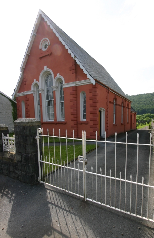
The village itself is quaint and charming, with traditional Welsh architecture and a close-knit community atmosphere. Cemais is home to a handful of local businesses, including a pub, a post office, and a few shops, providing residents with essential amenities.

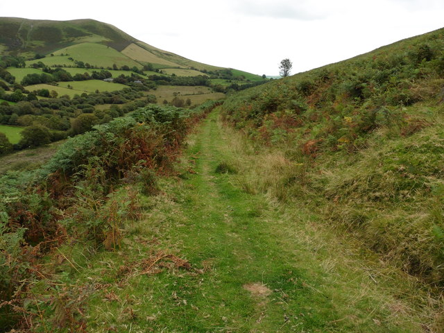
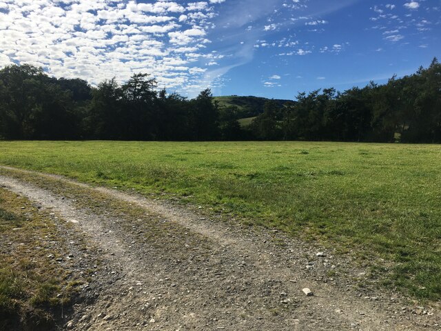
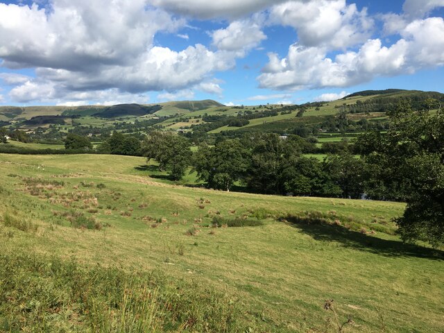
The surrounding area offers plenty of opportunities for outdoor activities, such as hiking, cycling, and fishing. The nearby River Severn provides a scenic backdrop for leisurely walks and picnics.

Cemais is also within easy reach of the historic market town of Newtown, which offers a wider range of services and amenities, including supermarkets, restaurants, and leisure facilities.

Overall, Cemais is a peaceful and idyllic village, perfect for those seeking a quiet retreat in the heart of the Welsh countryside.

If you have any feedback on the listing, please let us know in the comments section below.
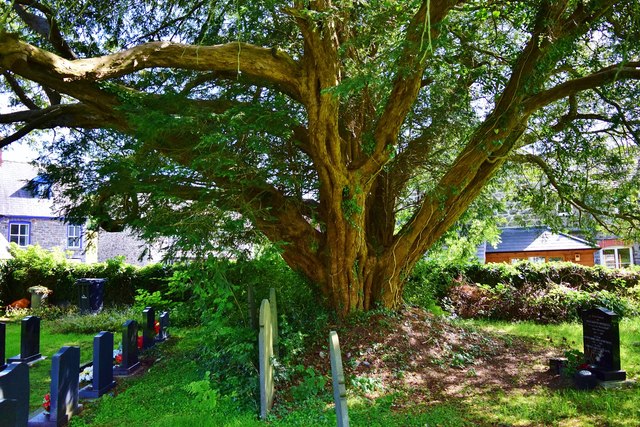
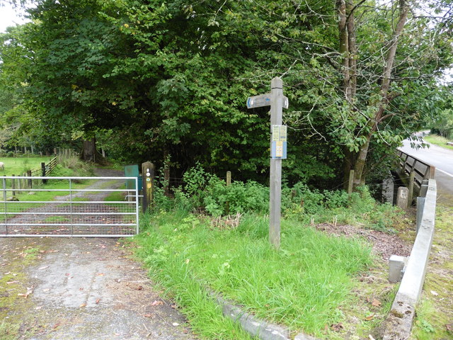
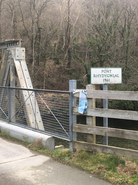
Cemais Images

Images are sourced within 2km of 52.639841/-3.718142 or Grid Reference SH8306. Thanks to Geograph Open Source API. All images are credited.

Cemmaes Churchyard, Powys This Yew is one of many in the Churchyard at Cemmaes in Powys
Cemmaes Churchyard, Powys
This Yew is one of many in the Churchyard at Cemmaes in Powys
Glyndwr's Way near Cemmaes Road The path leaves the busy A470 here.
Glyndwr's Way near Cemmaes Road
The path leaves the busy A470 here.
The Railway viaduct at Cemmaes Road from Glyndwr's Way
Glyndwr's Way near Cemmaes Road
Glyndwr's Way near Gwalia
View from Glyndwr's Way near Gwalia
Farm gate In Dyffryn Dovey, a short distance from Cemmaes Road.
Farm gate
In Dyffryn Dovey, a short distance from Cemmaes Road.
Nant Coegen near Cemmaes
Sign marking Pont Rhydygwial This bridge was constructed in 1961.
Sign marking Pont Rhydygwial
This bridge was constructed in 1961.
Penrhos Arms Hotel, Cemmaes
Field near Cwm Llinau
Minor road in the Dyfi Valley
Dyfi Valley towards Cemmaes
A470 west of Cemmaes
Dismantled Mawddwy railway crossing farmland
Pont Rhydygwial This steel bridge, built in 1961, carries a 'C' road across Afon Dyfi near to Cemmaes. Until this bridge was built, there was only a footbridge at this point and road vehicles had to cross the Dyfi by means of a ford.
Pont Rhydygwial
This steel bridge, built in 1961, carries a 'C' road across Afon Dyfi near to Cemmaes. Until this bridge was built, there was only a footbridge at this point and road vehicles had to cross the Dyfi by means of a ford.
Pont Rhydygwial A motorist's view of the bridge.
Pont Rhydygwial
A motorist's view of the bridge.
Show me another place!

Cemais is located at Grid Ref: SH8306 (Lat: 52.639841, Lng: -3.718142)

Unitary Authority: Powys

Police Authority: Dyfed Powys

Also known as: Cemmaes, Kemeys

What 3 Words

///amounting.yield.rejoin. Near Cwm-Llinau, Powys

Related Wikis

Cemmaes

Cemmaes (Welsh: Cemaes) is a village in northern Powys, Wales, in Glantwymyn community. The population numbered 935 in 1841, this dropped sharply between...

Cemmaes railway station

Cemmaes railway station was an intermediate railway station on the Mawddwy Railway which ran from Cemmaes Road to Dinas Mawddy in the Welsh county of...

Afon Twymyn

The Afon Twymyn (English: River Twymyn) is a river in Powys, Mid Wales. From its source at the 40-metre high Ffrwd Fawr waterfall and head of the Pennant...

Glyndŵr's Way

Glyndŵr's Way (Welsh: Llwybr Glyndŵr) is a long-distance footpath in mid Wales. It runs for 135 miles (217 km) in an extended loop through Powys between...

Nearby Amenities

Located within 500m of 52.639841,-3.718142
Source: npe
Lat/Long: 52.6402386/-3.7249915
Source: npe
Lat/Long: 52.6407957/-3.7245248
Source: npe
Lat/Long: 52.6410759/-3.7204033
Source: npe
Lat/Long: 52.640829/-3.7187088
Source: npe
Lat/Long: 52.6423063/-3.7158757
Cemais / Cemmaes
Is In: Powys
Name Cy: Cemais
Name En: Cemmaes
Place: village
Source: npe
Wikidata: Q5058745
Wikipedia: en:Cemmaes
Lat/Long: 52.6395941/-3.7141695
Power: pole
Source: bing
Lat/Long: 52.6378404/-3.7185691
Power: pole
Source: bing
Lat/Long: 52.6364015/-3.714299
Power: pole
Source: bing
Lat/Long: 52.6379202/-3.7195401
Power: pole
Source: bing
Lat/Long: 52.6370477/-3.7214203
Power: pole
Source: bing
Lat/Long: 52.6374042/-3.7175177
Power: pole
Source: bing
Lat/Long: 52.6365057/-3.7225736
Power: pole
Source: bing
Lat/Long: 52.6369517/-3.7164528
Power: pole
Source: bing
Lat/Long: 52.6364666/-3.7152941
Power: pole
Source: bing
Lat/Long: 52.6374547/-3.7205486
Place: farm
Lat/Long: 52.6382973/-3.721174
Place: farm
Lat/Long: 52.6360115/-3.7219915
Building: yes
Lat/Long: 52.6369621/-3.7204465
Cafe
Tŷ Cemaes
Lat/Long: 52.6404415/-3.7167403
Tŷ Cemaes
Shop: yes
Lat/Long: 52.6405213/-3.7166572
Pharmacy
Dispensing: yes
Healthcare: pharmacy
Lat/Long: 52.6406319/-3.7167966
Cofeb ryfel
Historic: memorial
Memorial: war_memorial
Name Cy: Cofeb ryfel
Name En: War Memorial
Lat/Long: 52.6402682/-3.7168637
Bus Stop
Cemaes
Bus: yes
Naptan AtcoCode: 5610WDB22379
Naptan NaptanCode: powjtmt
Public Transport: platform
Lat/Long: 52.6402535/-3.7168235
Bus Stop
Cemaes
Bus: yes
Naptan AtcoCode: 5610WDB22380
Naptan NaptanCode: powjtmw
Public Transport: platform
Lat/Long: 52.6402218/-3.716747
Clustogwr
Craft: upholsterer
Name Cy: Clustogwr
Name En: Old Favourites Upholstery
Lat/Long: 52.6399353/-3.7172456
Brythonfa
Addr City: Cemmaes
Tourism: hostel
Lat/Long: 52.6394307/-3.7183115
Telephone
Booth: K6
Covered: booth
Man Made: telephone_box
Old Phone: +44 1650 511311
Lat/Long: 52.6403875/-3.7167227
Cemmaes
Historic Railway: station
Railway: site
Wikidata: Q104842505
Wikipedia: en:Cemmaes railway station
Lat/Long: 52.640784/-3.7222372
The data included in this document is from www.openstreetmap.org. The data is made available under ODbL.

Have you been to Cemais?

Leave your review of Cemais below (or comments, questions and feedback).