Cairnwell Hill
Hill, Mountain in Kincardineshire
Scotland
Cairnwell Hill
Cairnwell Hill, located in Kincardineshire, Scotland, is a prominent hill and mountain situated in the eastern Grampian Mountains. With an elevation of 933 meters (3,061 feet), it is one of the highest peaks in the region and offers stunning views of the surrounding landscape.
The hill is a popular destination for hikers and outdoor enthusiasts due to its accessibility and diverse terrain. It forms part of the Cairnwell Pass, a mountain pass that connects Braemar and Glenshee, making it a focal point for those exploring the area.
Cairnwell Hill is known for its challenging yet rewarding trails, attracting both experienced climbers and beginners looking for an adventure. The most common route to the summit is from the Glenshee Ski Centre, where a chairlift can transport visitors part of the way up, allowing for a more manageable ascent.
The summit of Cairnwell Hill is marked by a trig point, providing a sense of accomplishment for those who reach it. On clear days, the panoramic views from the top are breathtaking, offering glimpses of the surrounding peaks, valleys, and the distant North Sea.
The hill is also famous for its winter sports activities, with Glenshee Ski Centre being the largest ski resort in Scotland. Skiers and snowboarders flock to Cairnwell Hill during the winter months to enjoy its extensive range of slopes and trails.
Whether it be for hiking, skiing, or simply enjoying the beauty of the Scottish Highlands, Cairnwell Hill offers a memorable experience for all who venture to its summit.
If you have any feedback on the listing, please let us know in the comments section below.
Cairnwell Hill Images
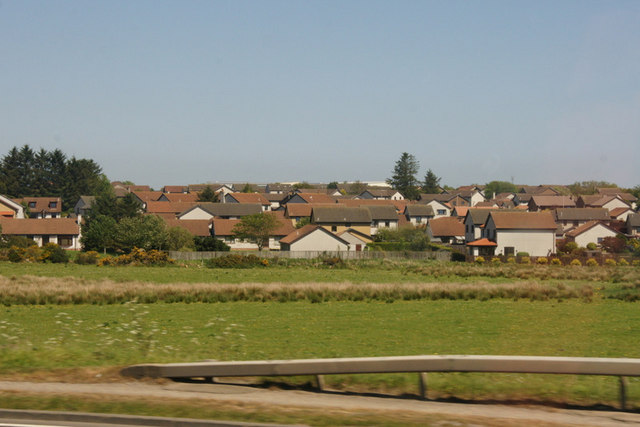
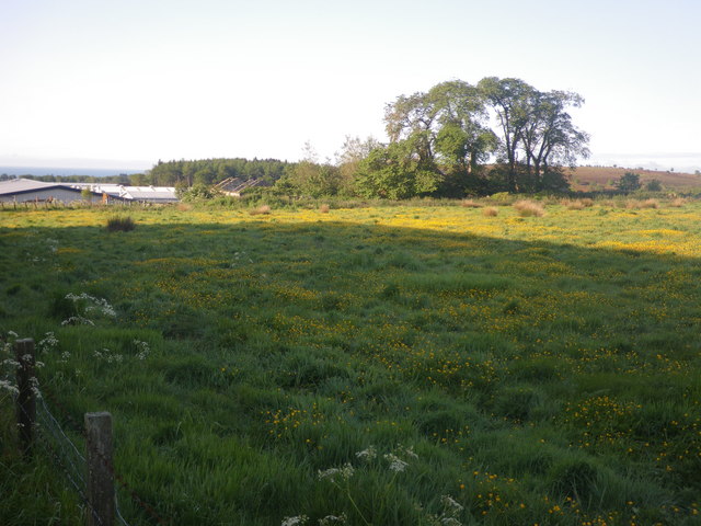
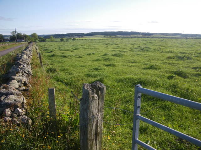
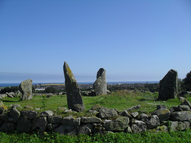
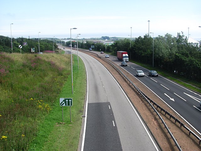
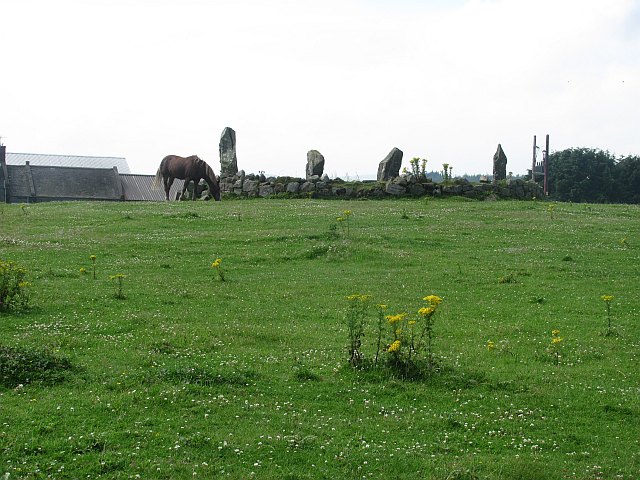
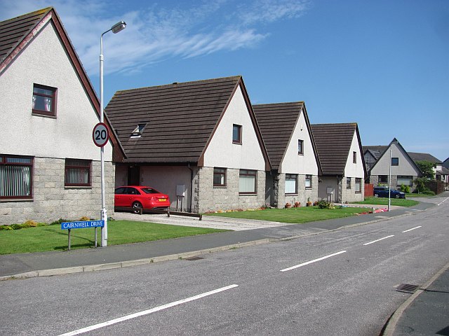
Images are sourced within 2km of 57.064167/-2.1663768 or Grid Reference NO9097. Thanks to Geograph Open Source API. All images are credited.


Cairnwell Hill is located at Grid Ref: NO9097 (Lat: 57.064167, Lng: -2.1663768)
Unitary Authority: Aberdeenshire
Police Authority: North East
What 3 Words
///envoy.spearing.trains. Near Portlethen, Aberdeenshire
Nearby Locations
Related Wikis
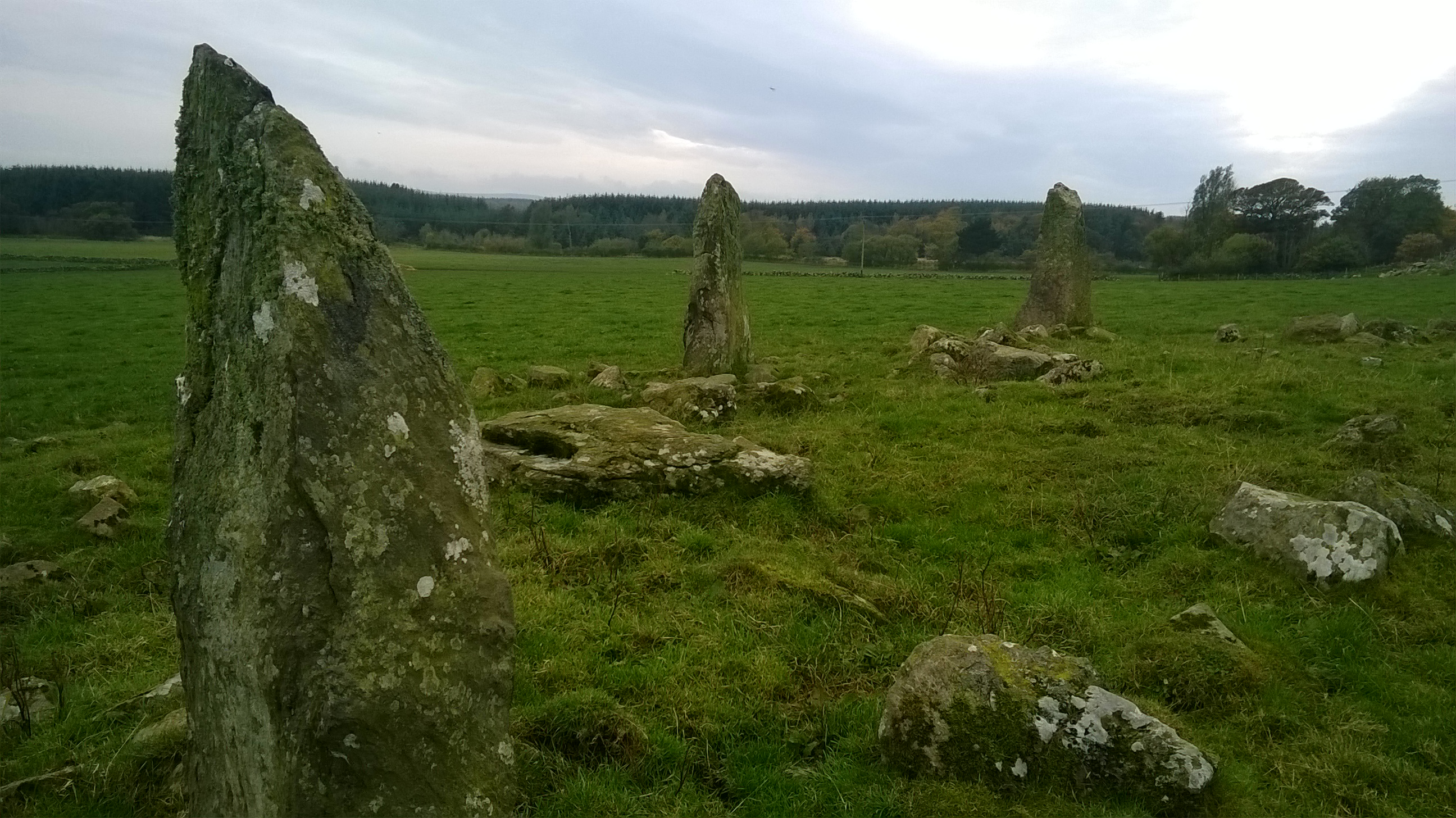
Auld Bourtreebush
Auld Bourtreebush is a large Neolithic stone circle near Portlethen in Aberdeenshire, Scotland. It is also known as Old Bourtree Bush or Old Bourtreebush...

Portlethen Moss
The Portlethen Moss is an acidic bog nature reserve located to the west of the town of Portlethen, Aberdeenshire in Scotland. Like other mosses, this...
Portlethen Academy
Portlethen Academy is a six-year comprehensive secondary school in Portlethen, Aberdeenshire, Scotland. == History == With the expansion of the communities...
Portlethen
Portlethen (; Scottish Gaelic: Port Leathain) is a town located approximately 7 miles south of Aberdeen, Scotland along the A92. The population according...
Nearby Amenities
Located within 500m of 57.064167,-2.1663768Have you been to Cairnwell Hill?
Leave your review of Cairnwell Hill below (or comments, questions and feedback).