Blue Hill
Hill, Mountain in Aberdeenshire
Scotland
Blue Hill

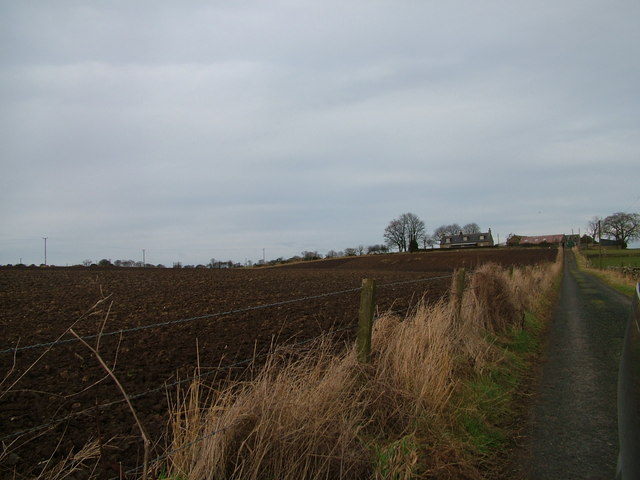
Blue Hill is a prominent hill located in Aberdeenshire, Scotland. Standing at an elevation of approximately 470 meters (1,540 feet), it is a popular destination for outdoor enthusiasts and nature lovers alike. The hill is situated about 2 miles northeast of the town of Stonehaven, offering stunning panoramic views of the surrounding countryside and the North Sea.
Blue Hill is known for its distinctive blue-gray granite outcrops, which give it its name and lend a unique character to the landscape. The hill is composed mainly of granite and is part of the Grampian Mountains, a range renowned for its rugged beauty and diverse wildlife. The area surrounding Blue Hill is rich in flora and fauna, providing a haven for various species of plants and animals.
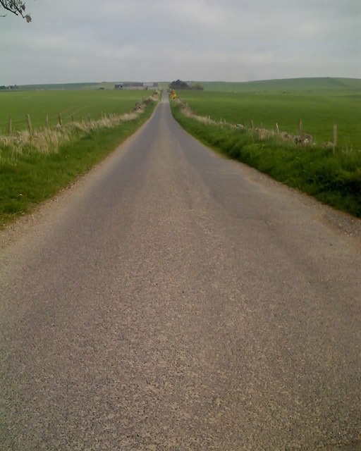
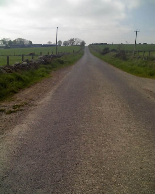
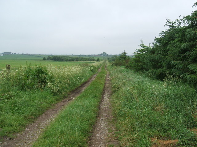
Hiking and walking trails crisscross the hill, providing visitors with opportunities to explore its diverse terrain. The most popular route to the summit begins near the village of Cowie and offers a moderately challenging ascent. Once at the top, hikers are rewarded with breathtaking views of the coastline as well as the neighboring hills and valleys.
Blue Hill holds historical significance as well, with remnants of ancient settlements and burial sites found on its slopes. These archaeological discoveries provide insights into the lives and cultures of past inhabitants of the region.
Overall, Blue Hill offers a unique blend of natural beauty, historical significance, and recreational opportunities, making it a must-visit destination for those seeking to immerse themselves in the stunning landscapes of Aberdeenshire.
If you have any feedback on the listing, please let us know in the comments section below.
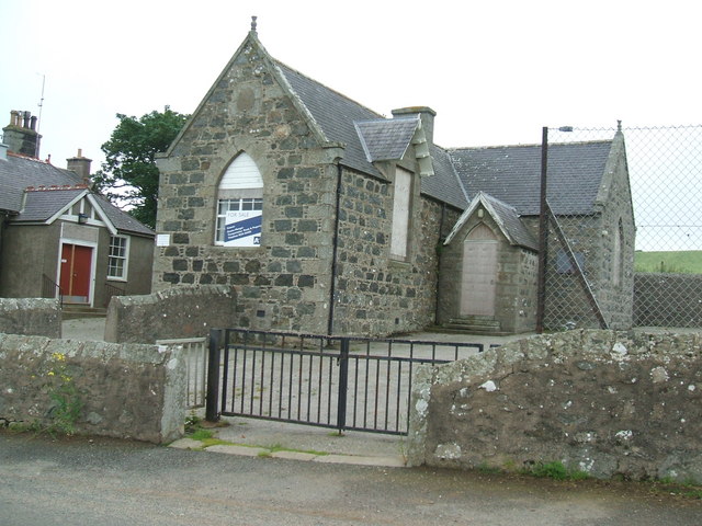
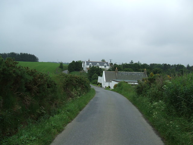
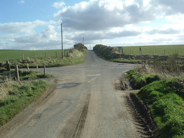
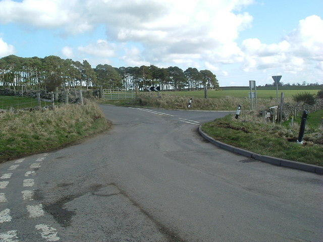
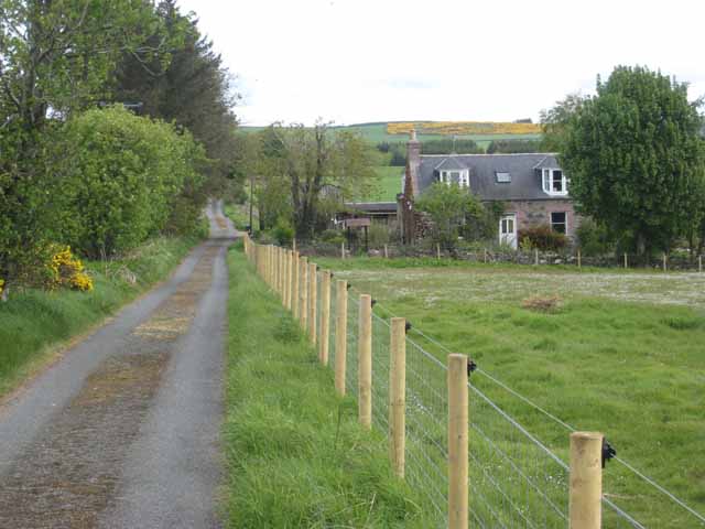
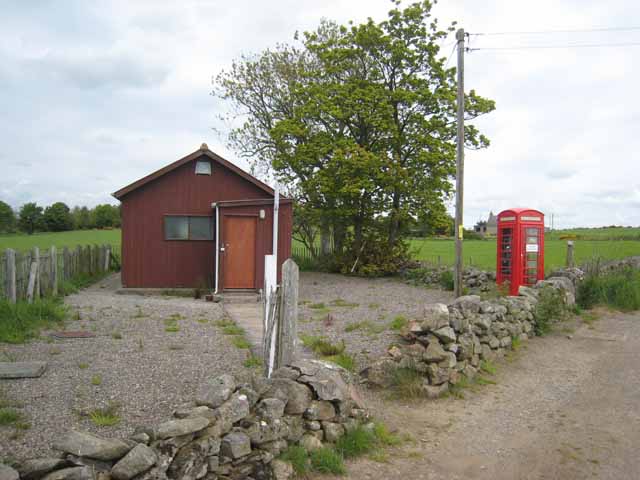
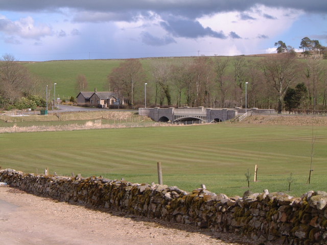
Blue Hill Images
Images are sourced within 2km of 57.424476/-2.1684599 or Grid Reference NJ8937. Thanks to Geograph Open Source API. All images are credited.


Blue Hill is located at Grid Ref: NJ8937 (Lat: 57.424476, Lng: -2.1684599)
Unitary Authority: Aberdeenshire
Police Authority: North East
What 3 Words
///statement.grading.search. Near Ellon, Aberdeenshire
Nearby Locations
Related Wikis

House of Schivas
House of Schivas is an L-plan tower house, dating from the 16th century, about three miles east of Methlick, in the valley of the River Ythan, in Aberdeenshire...

Ythanbank
Ythanbank is a village in Aberdeenshire, Scotland. It is situated on the east bank of the River Ythan on the B9005, 4 miles (6.4 km) north-west of the...
Cairnleith Crofts
Cairnleith Crofts is a group of dwellings in Ythanbank, Aberdeenshire, Scotland. == References ==

Arnage railway station
Arnage railway station was a railway station in Arnage, Aberdeenshire. == History == The station was opened on 18 July 1861 by the Formartine and Buchan...
Arnage Castle
Arnage Castle is a country house, incorporating a Z-plan tower house, located around 4 miles (6.4 km) north of Ellon, in Aberdeenshire, north-east Scotland...

Haddo House
Haddo House is a Scottish stately home located near Tarves in Aberdeenshire, approximately 20 miles (32 km) north of Aberdeen (grid reference NJ868347...

Formartine and Buchan Way
The Formartine and Buchan Way is a long-distance trail in Scotland, extending from Dyce north to Peterhead and Fraserburgh in the Buchan and Formartine...
Methlick
Methlick (Gaelic: Maothulach) is a village in the Formartine area of Aberdeenshire, Scotland, situated on the River Ythan 11.2 kilometres (7.0 mi) north...
Nearby Amenities
Located within 500m of 57.424476,-2.1684599Have you been to Blue Hill?
Leave your review of Blue Hill below (or comments, questions and feedback).