Shutt Hill
Hill, Mountain in Worcestershire Wyre Forest
England
Shutt Hill
Shutt Hill is a prominent hill located in Worcestershire, England. Situated in the Malvern Hills Area of Outstanding Natural Beauty, it offers stunning panoramic views of the surrounding countryside. Rising to an elevation of approximately 395 meters (1,296 feet), it is considered one of the highest peaks in Worcestershire.
The hill is characterized by its steep slopes, covered with lush greenery and diverse flora. It is predominantly composed of ancient igneous and metamorphic rocks, which add to its geological significance. Shutt Hill is a popular destination for hikers and nature enthusiasts, attracting visitors from near and far.
At the summit of Shutt Hill, there is a trig point which provides a reference point for surveying and mapping. From this vantage point, on clear days, visitors can admire the breathtaking views of the surrounding countryside, including the neighboring Malvern Hills, the Severn Valley, and even the Welsh mountains in the distance.
The hill is home to a variety of wildlife, including birds, butterflies, and small mammals. It offers a peaceful and tranquil environment for those seeking a break from the hustle and bustle of daily life. Additionally, there are several walking trails and footpaths that crisscross the hill, allowing visitors to explore its natural beauty and enjoy its peaceful surroundings.
Overall, Shutt Hill in Worcestershire is a stunning natural landmark that offers both recreational opportunities and a chance to connect with nature. Its beauty, biodiversity, and panoramic views make it a beloved destination for locals and tourists alike.
If you have any feedback on the listing, please let us know in the comments section below.
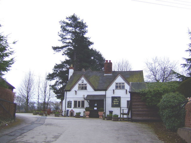
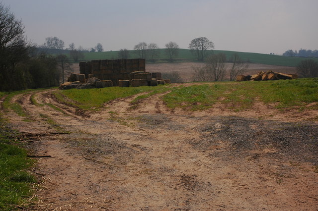
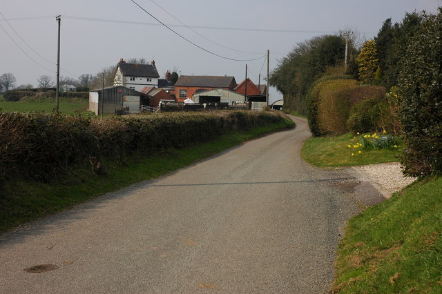
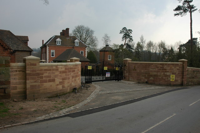
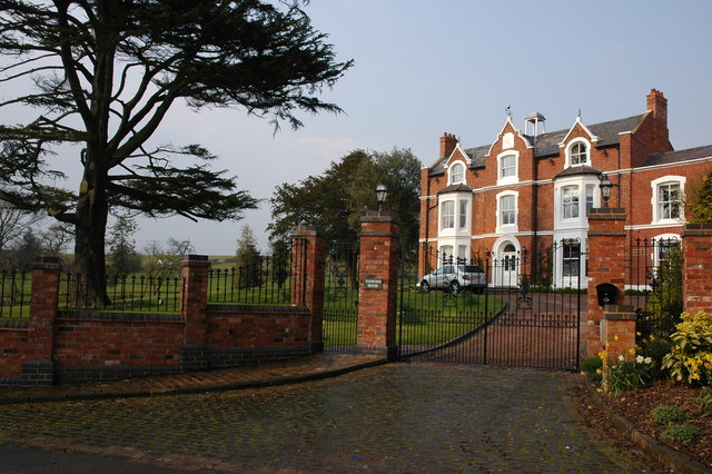
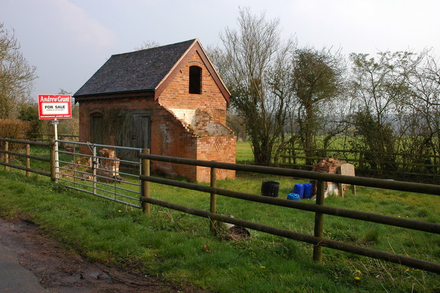
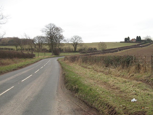
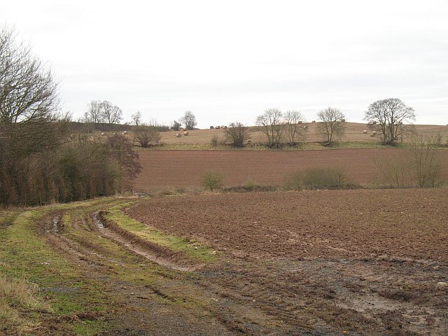
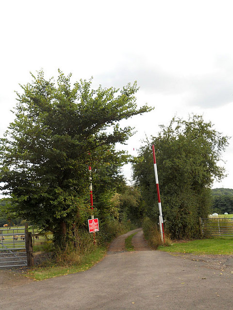
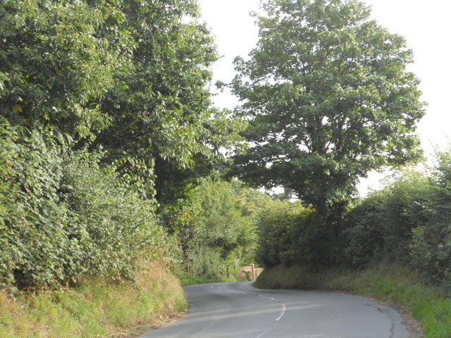
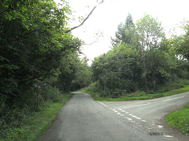
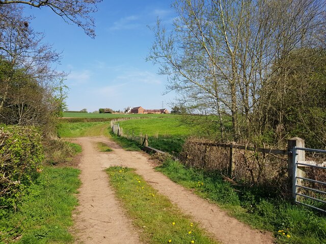
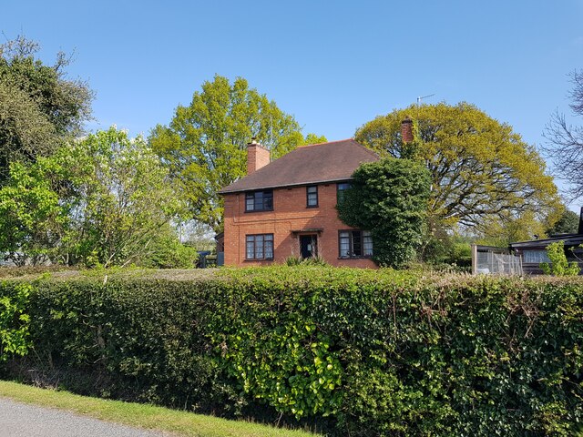
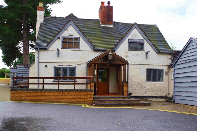
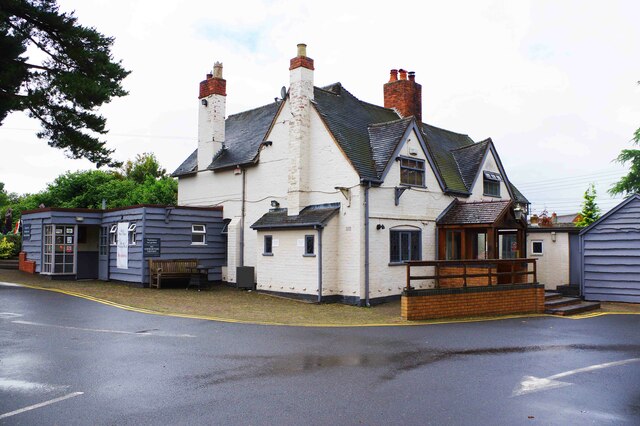
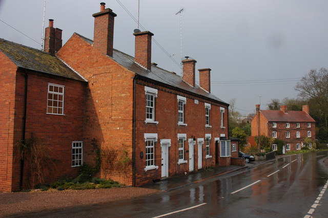
Shutt Hill Images
Images are sourced within 2km of 52.3805/-2.1498038 or Grid Reference SO8975. Thanks to Geograph Open Source API. All images are credited.


Shutt Hill is located at Grid Ref: SO8975 (Lat: 52.3805, Lng: -2.1498038)
Administrative County: Worcestershire
District: Wyre Forest
Police Authority: West Mercia
What 3 Words
///moisture.cashew.caressing. Near Belbroughton, Worcestershire
Nearby Locations
Related Wikis
Drayton, Worcestershire
Drayton is a hamlet in Worcestershire, England which remains part of the ecclesiastical parish of Chaddesley Corbett, which from its select vestry formed...

Tanwood
Tanwood is a hamlet in the English county of Worcestershire. It lies about one mile northeast of the village of Chaddesley Corbett and forms part of the...

Hackmans Gate
Hackmans Gate is a hamlet in the parish of Broome, and the district of Wyre Forest District of Worcestershire, England.

Chaddesley Corbett
Chaddesley Corbett is a village and civil parish in the Wyre Forest District of Worcestershire, England. The Anglican and secular versions of the parish...

Belbroughton
Belbroughton ( bel-BRAW-tən) is a village and civil parish in the Bromsgrove District of Worcestershire, England. According to the 2021 census it had...

Harvington Hall
Harvington Hall is a moated medieval and Elizabethan manor house in the hamlet of Harvington in the civil parish of Chaddesley Corbett, southeast of Kidderminster...

Chaddesley Woods National Nature Reserve
Chaddesley Woods National Nature Reserve is situated near the village of Chaddesley Corbett, in Worcestershire, England. It is a reserve of the Worcestershire...
Broome, Worcestershire
Broome is a village and civil parish in the Wyre Forest District of Worcestershire, England. According to the 2001 census it had a population of 338. The...
Nearby Amenities
Located within 500m of 52.3805,-2.1498038Have you been to Shutt Hill?
Leave your review of Shutt Hill below (or comments, questions and feedback).