Brown Wardle Hill
Hill, Mountain in Lancashire Rossendale
England
Brown Wardle Hill
Brown Wardle Hill is a prominent hill located in the county of Lancashire, England. Situated near the town of Rochdale, it is part of the South Pennines, a range of hills and moorland that stretches across the counties of Lancashire and Yorkshire. Standing at an elevation of 1,312 feet (400 meters), Brown Wardle Hill offers breathtaking panoramic views of the surrounding countryside.
The hill is characterized by its rugged terrain, covered in heather, grasses, and scattered rocks. It is a popular destination for outdoor enthusiasts, attracting hikers, walkers, and nature lovers who appreciate the beauty of the area. Additionally, the hill is home to a variety of wildlife, including birds such as curlews, lapwings, and meadow pipits.
At the summit of Brown Wardle Hill, there is a trig point, which serves as a navigational marker and a point of reference for walkers. On clear days, the view from the top extends for miles, showcasing the rolling hills, valleys, and villages that make up the picturesque Lancashire countryside.
The hill has historical significance as well. It was once the site of an Iron Age hillfort, evidence of which can still be seen in the form of earthworks and ditches. This adds an extra layer of fascination for those interested in the region's past.
Overall, Brown Wardle Hill is a striking natural landmark that offers both recreational opportunities and a glimpse into Lancashire's rich history.
If you have any feedback on the listing, please let us know in the comments section below.
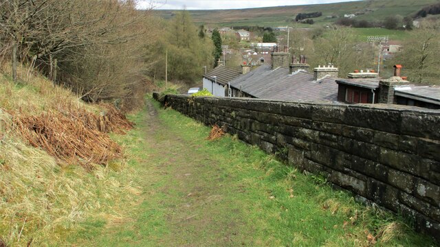
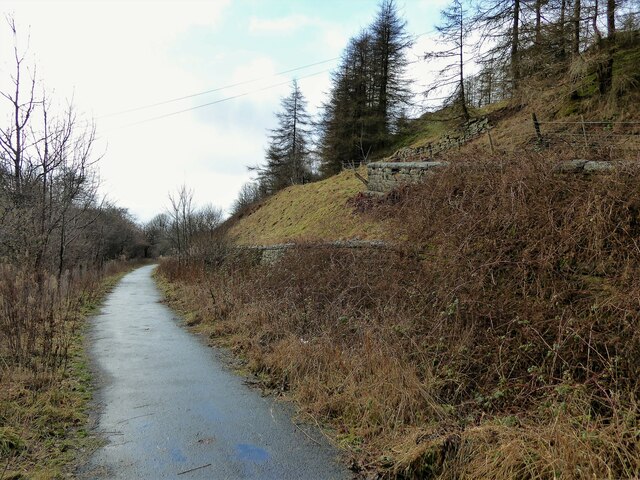
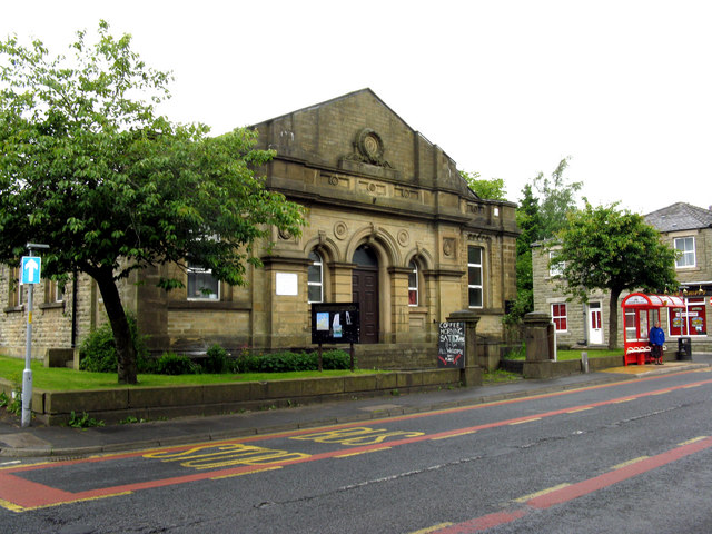
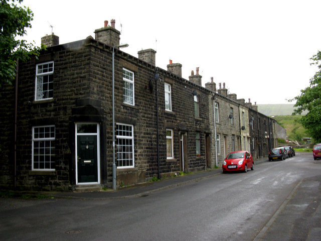
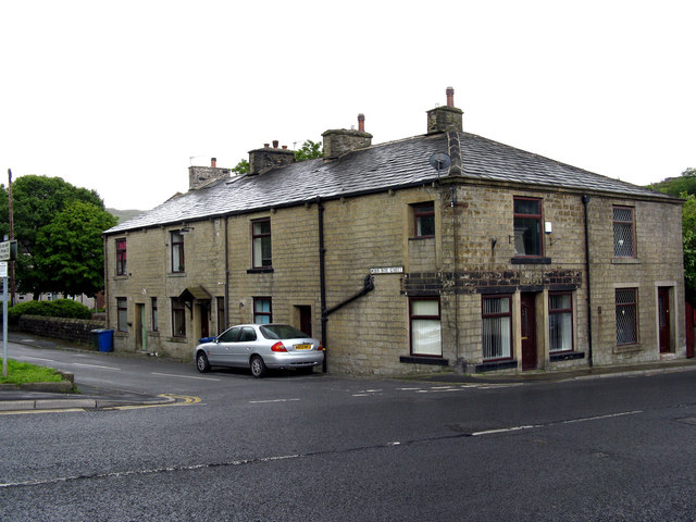
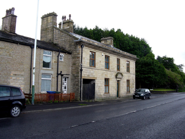
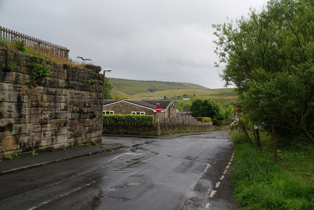
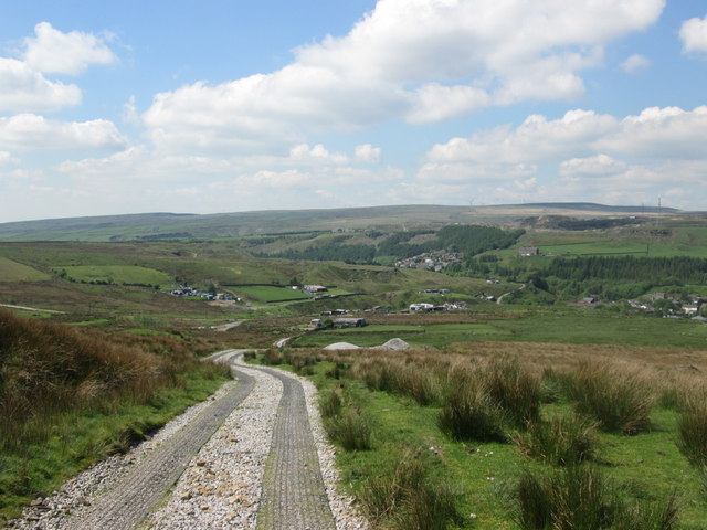
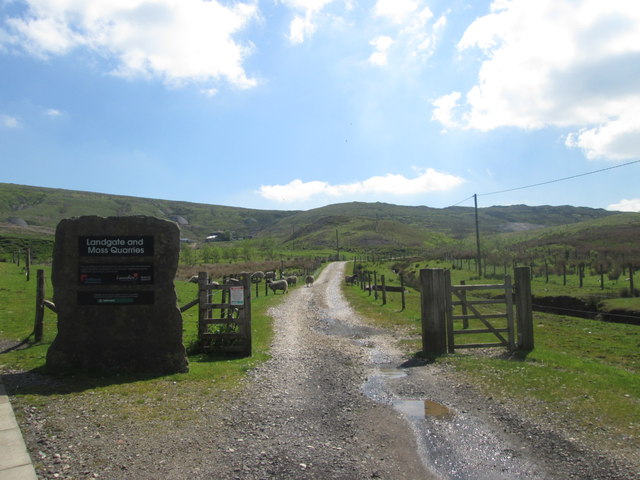
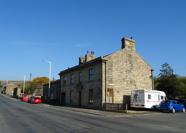
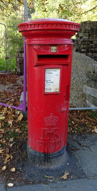
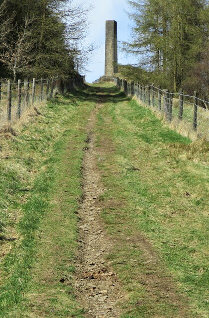
Brown Wardle Hill Images
Images are sourced within 2km of 53.664511/-2.1554618 or Grid Reference SD8918. Thanks to Geograph Open Source API. All images are credited.


Brown Wardle Hill is located at Grid Ref: SD8918 (Lat: 53.664511, Lng: -2.1554618)
Administrative County: Lancashire
District: Rossendale
Police Authority: Lancashire
What 3 Words
///saving.cheek.state. Near Whitworth, Lancashire
Nearby Locations
Related Wikis
Brown Wardle Hill
Brown Wardle is a hill between the village of Wardle, Greater Manchester and the town of Whitworth, Lancashire, England. The summit is on the border of...
Facit railway station
Facit railway station served Facit near Whitworth, Rossendale, Lancashire, England, from 1870 until closure to passengers in 1947 and freight in 1963....

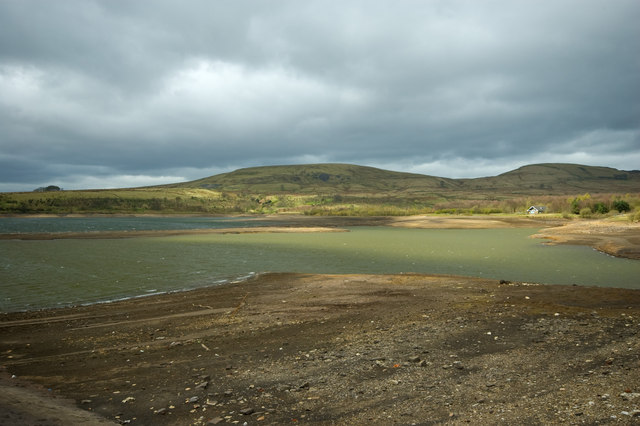
Watergrove Reservoir
Watergrove Reservoir is a reservoir close to Wardle in the Metropolitan Borough of Rochdale, within Greater Manchester, England. Rochdale Corporation...

Whitworth, Lancashire
Whitworth is a town and civil parish in Rossendale, Lancashire, England, amongst the foothills of the Pennines between Bacup, to the north, and Rochdale...

Whitworth railway station
Whitworth railway station served the town of Whitworth, Rossendale, Lancashire, England, from 1870 until closure in 1947. == References == Lost Railways...

Shawforth railway station
Shawforth railway station served Shawforth near Bacup, Rossendale, Lancashire, England, from 1881 until closure in 1947. == References == Suggitt, Gordon...

Shawforth
Shawforth ( SHAW-fərth) is a ward in the township of Whitworth within the Rossendale borough of Lancashire, England. It lies amongst the South Pennines...

Wardle, Greater Manchester
Wardle (; pop. 7,092) is a village near Littleborough within the Metropolitan Borough of Rochdale, in Greater Manchester, England. It lies amongst the...
Related Videos
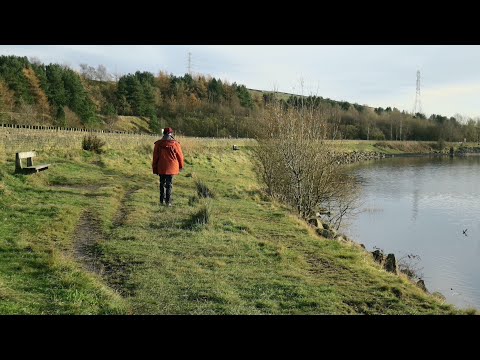
Watergrove Valley
Some of our walks were filmed earlier than recent walks. Watergrove Valley is one of them. It's local and not the first time we've ...

Travel Money Card in Rochdale | Easiest way to order Travel Money Card in Rochdale
The Post Office Travel Money Card is a safe, easy prepaid payment option accepted by shops, restaurants and ATMs globally* - it ...

Travel Money Card in Rochdale | Easiest way to order Travel Money Multi Currency Card in Rochdale
The Post Office Travel Money Card is a safe, easy prepaid payment option accepted by Shops, Restaurants and ATMs globally* ...
Nearby Amenities
Located within 500m of 53.664511,-2.1554618Have you been to Brown Wardle Hill?
Leave your review of Brown Wardle Hill below (or comments, questions and feedback).