Barley Hill
Hill, Mountain in Northumberland
England
Barley Hill

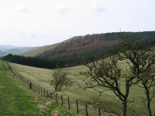
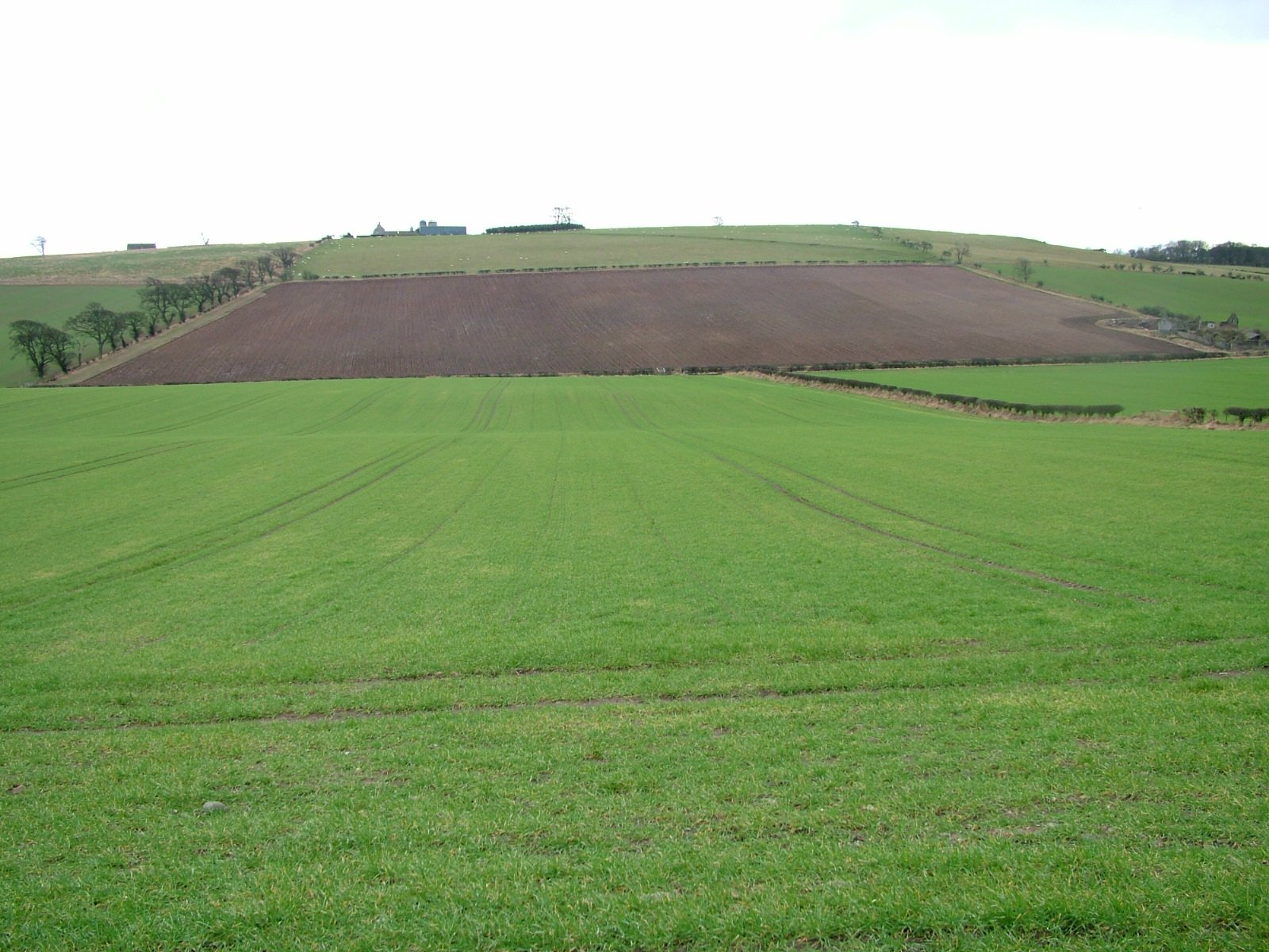
Barley Hill is a prominent hill located in the county of Northumberland, England. Situated near the village of Alwinton, this natural landmark is part of the stunning Northumberland National Park. Rising to an elevation of approximately 463 meters (1,519 feet), Barley Hill offers spectacular panoramic views of the surrounding countryside.
The hill is known for its rugged terrain, characterized by rocky outcrops and steep slopes, making it a popular destination for hikers and outdoor enthusiasts. The ascent to the summit can be challenging, but the effort is rewarded with breathtaking vistas of the Cheviot Hills, the Simonside Hills, and the picturesque Coquet Valley.
Barley Hill is encompassed by a diverse range of flora and fauna, adding to its natural beauty and ecological significance. The hillside is covered with a mix of heather, grasses, and wildflowers, creating a colorful tapestry during the summer months. Birdwatchers can spot a variety of avian species, including skylarks, curlews, and red grouse.
The hill is also steeped in history, with evidence of human habitation dating back to ancient times. Archaeological sites and Bronze Age burial mounds dot the surrounding landscape, offering glimpses into the area's rich cultural heritage.
Access to Barley Hill is provided by a network of footpaths and trails, allowing visitors to explore its enchanting terrain. Whether you are seeking a challenging hike, a peaceful picnic spot, or simply a place to appreciate the beauty of nature, Barley Hill offers a truly unforgettable experience in the heart of Northumberland.
If you have any feedback on the listing, please let us know in the comments section below.
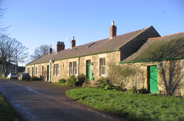
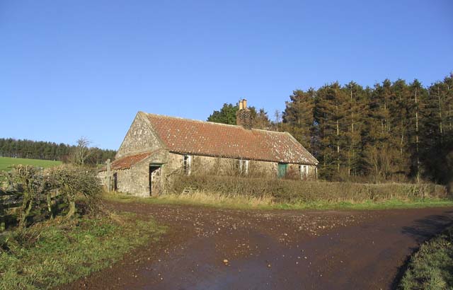
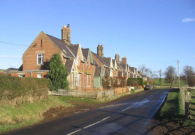
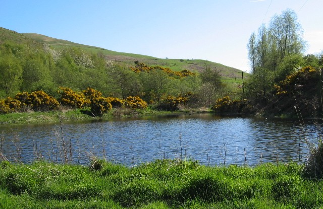
Barley Hill Images
Images are sourced within 2km of 55.603112/-2.1840789 or Grid Reference NT8834. Thanks to Geograph Open Source API. All images are credited.


Barley Hill is located at Grid Ref: NT8834 (Lat: 55.603112, Lng: -2.1840789)
Unitary Authority: Northumberland
Police Authority: Northumbria
What 3 Words
///shuttered.stamp.unfit. Near Kirknewton, Northumberland
Nearby Locations
Related Wikis
Howtel
Howtel is a village and former civil parish, now in the parish of Kilham, in Northumberland, England about 8 miles (13 km) northwest of Wooler. The name...
Kilham, Northumberland
Kilham is a hamlet and civil parish in the English county of Northumberland, located 8.0 miles (12.9 km) west of Wooler, 12.0 miles (19.3 km) east of Kelso...
Housedon Hill
Housedon Hill is a hill on the northwestern edge of the Cheviot Hills in Northumberland, England. It is the northernmost Marilyn in England, the summit...

Battle of Flodden
The Battle of Flodden, Flodden Field, or occasionally Branxton or Brainston Moor was a battle that was fought on 9 September 1513 during the War of the...

Mindrum railway station
Mindrum railway station was a stone built railway station serving the hamlet of Mindrum and the surrounding villages in Northumberland. It was on the Alnwick...
Branxton, Northumberland
Branxton is a village and civil parish in northern Northumberland, England. It lies about 3 miles (5 km) from the England-Scotland border and about 4 miles...

Bowmont Water
Bowmont Water is a stream in the Scottish Borders and Northumberland, England. It rises in the Cheviot Hills and flows by Mowhaugh, Town Yetholm, and Kirk...
Barelees Pond
Barelees Pond is the name given to a Site of Special Scientific Interest (SSSI) in north Northumberland, England. The site is a kettle hole, a deep pond...
Nearby Amenities
Located within 500m of 55.603112,-2.1840789Have you been to Barley Hill?
Leave your review of Barley Hill below (or comments, questions and feedback).