Bunker's Hill
Hill, Mountain in Staffordshire South Staffordshire
England
Bunker's Hill
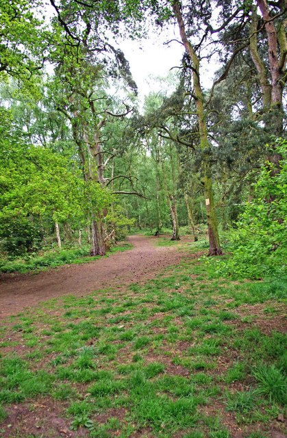
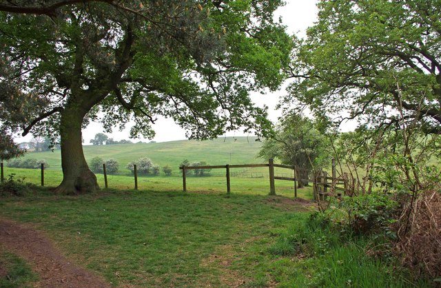
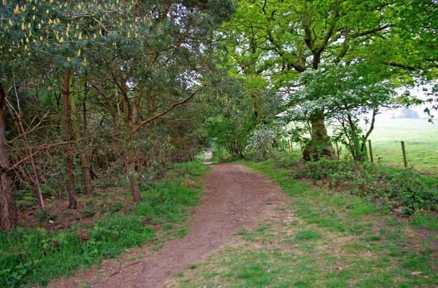
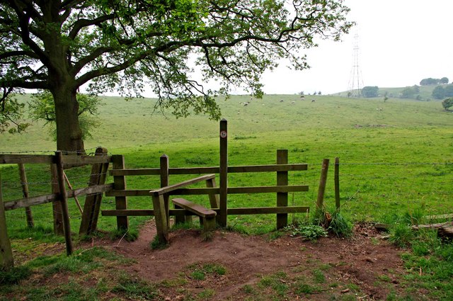
Bunker's Hill is a prominent hill located in the county of Staffordshire, England. Situated near the village of Wombourne, it is part of the wider South Staffordshire countryside. The hill is known for its natural beauty and offers picturesque views of the surrounding landscape.
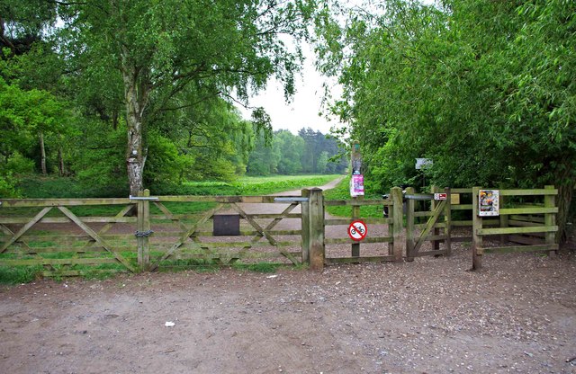
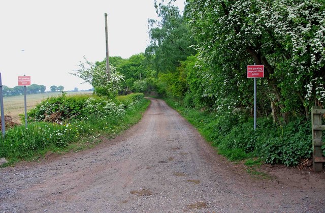
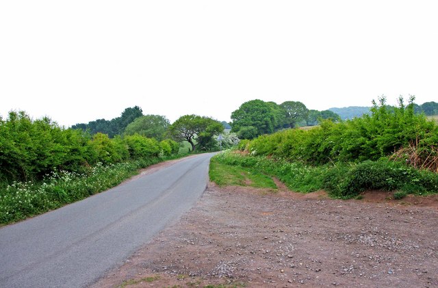
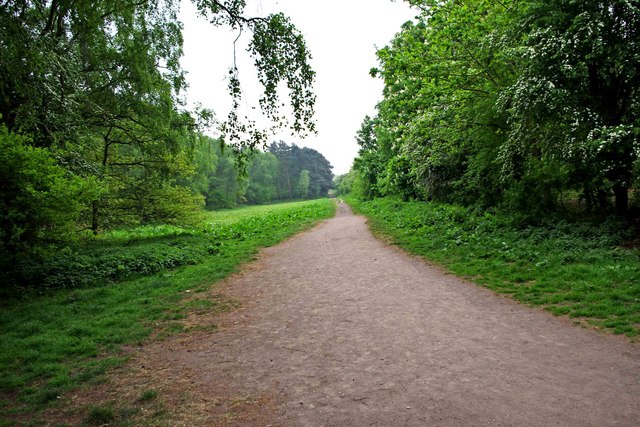
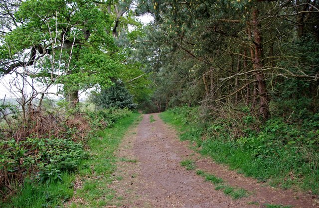
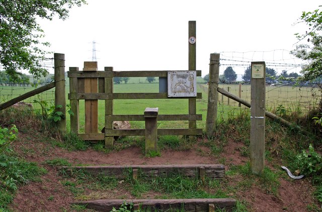
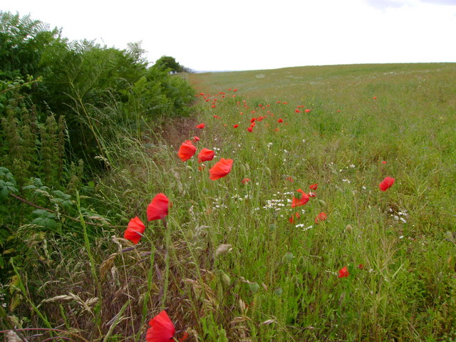
Rising to an elevation of approximately 250 meters (820 feet), Bunker's Hill is a popular destination for hikers, walkers, and nature enthusiasts. Its well-defined trails and paths make it easily accessible for visitors of all abilities. The hill is covered with lush green vegetation, including grass, shrubs, and trees, which adds to its charm.
One of the key attractions of Bunker's Hill is the panoramic views it offers from its summit. On clear days, visitors can enjoy breathtaking vistas of the Staffordshire countryside, with rolling hills and picturesque farmland stretching as far as the eye can see. The hill also provides a vantage point to observe the nearby Wombourne village and its surrounding areas.
Moreover, Bunker's Hill has historical significance, with remnants of an Iron Age hillfort found on its slopes. This adds an extra layer of intrigue for those interested in the region's past.
Overall, Bunker's Hill in Staffordshire is a natural gem that offers visitors the chance to immerse themselves in the beauty of the English countryside. Whether for a peaceful hike, a scenic picnic, or a glimpse into history, this hill provides an enjoyable experience for all who venture to its summit.
If you have any feedback on the listing, please let us know in the comments section below.
Bunker's Hill Images
Images are sourced within 2km of 52.430754/-2.1760805 or Grid Reference SO8881. Thanks to Geograph Open Source API. All images are credited.


Bunker's Hill is located at Grid Ref: SO8881 (Lat: 52.430754, Lng: -2.1760805)
Administrative County: Staffordshire
District: South Staffordshire
Police Authority: Staffordshire
What 3 Words
///fractions.imitate.develop. Near Hagley, Worcestershire
Nearby Locations
Related Wikis

Iverley
Iverley is an area of the parish of Kinver in Staffordshire that has no road link to the rest of the parish. It is notable as being the most southerly...

Churchill, Wyre Forest
Churchill is a village and former civil parish, now in the parish of Churchill and Blakedown, in the Wyre Forest district of Worcestershire, England. It...
Churchill Forge Mill
Churchill Forge Mill, situated in the Worcestershire village of Churchill, is one of the last water-powered forge mills remaining in an intact state in...

King's Norton and Northfield Urban District
King's Norton and Northfield Urban District was a local government administrative district in north Worcestershire, England, from 1898 until 1911. Much...

Haybridge High School
Haybridge High School and Sixth Form is an 11–18 mixed academy school with approximately 1,250 students (420 in the sixth form) in Hagley, Stourbridge...
Hagley Roman Catholic High School
Hagley Catholic High School is a coeducational school for ages 11–18 situated in the village of Hagley, Worcestershire, England. Currently a member of...
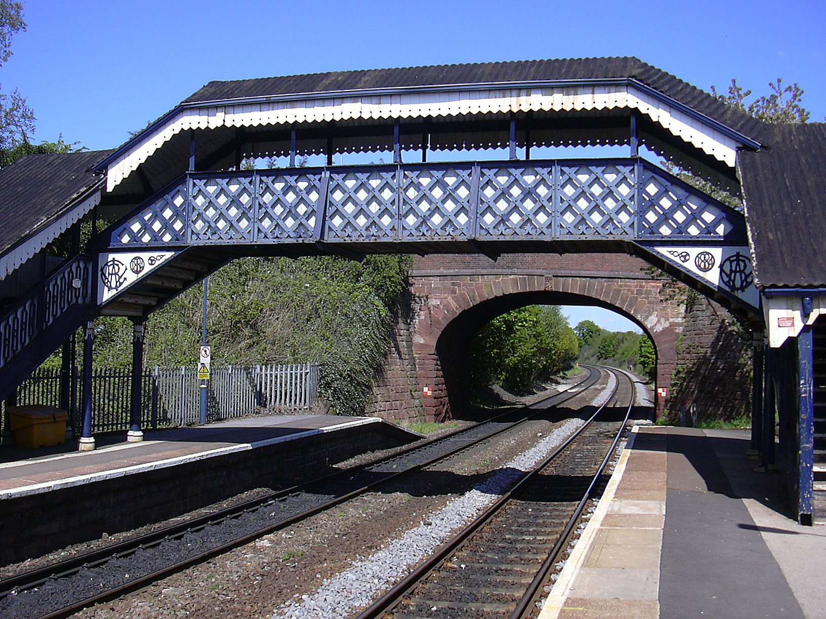
Hagley railway station
Hagley railway station serves the English village of Hagley, Worcestershire. Trains call in each direction, running to or through Kidderminster westwards...
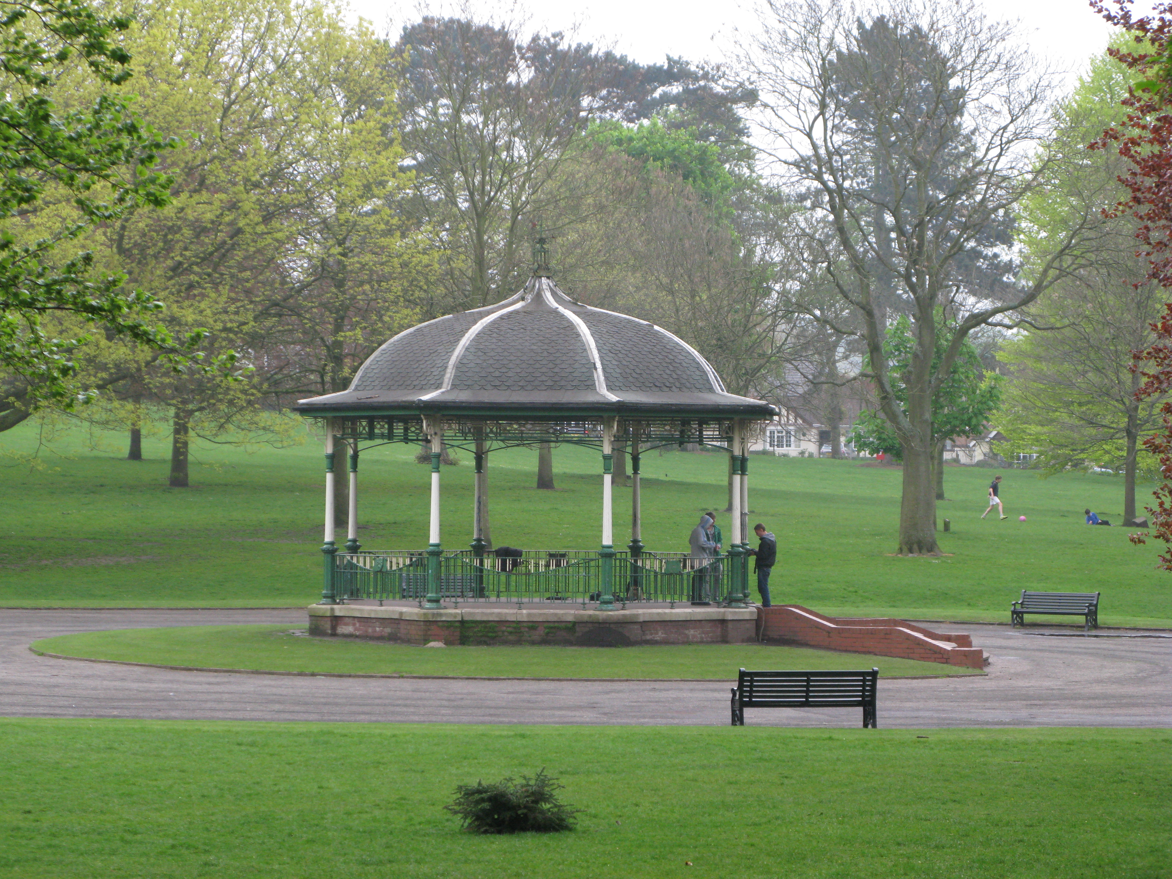
Mary Stevens Park
Mary Stevens Park is a public park located in Norton, Stourbridge, West Midlands, UK. Opened to the public in 1931, it attracts 1.3 million visitors per...
Nearby Amenities
Located within 500m of 52.430754,-2.1760805Have you been to Bunker's Hill?
Leave your review of Bunker's Hill below (or comments, questions and feedback).