Clumpstone Hill
Hill, Mountain in Yorkshire Richmondshire
England
Clumpstone Hill
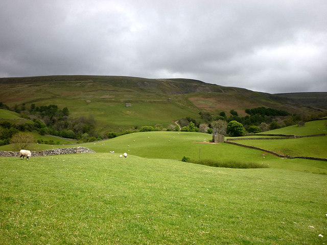
Clumpstone Hill is a prominent geographical feature located in Yorkshire, England. It is classified as a hill rather than a mountain, as it reaches an elevation of approximately 500 meters above sea level. The hill is part of the Pennine Range, which stretches across Northern England.
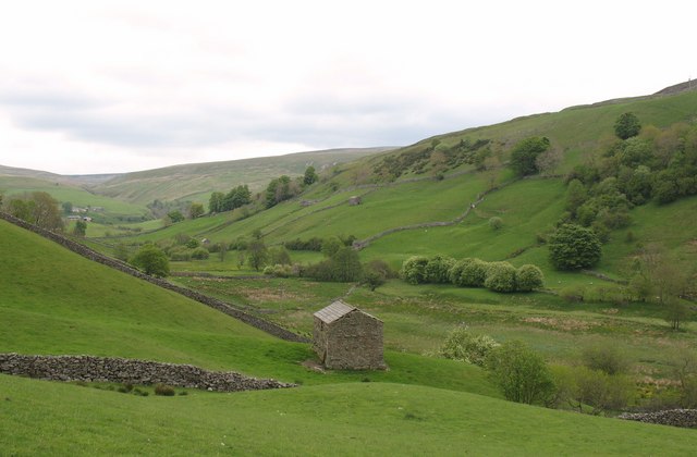
Situated in the southern region of Yorkshire, Clumpstone Hill offers breathtaking views of the surrounding countryside. It is characterized by its steep slopes and rocky outcrops, making it a popular destination for both hikers and nature enthusiasts. The hill is covered in lush vegetation, including heather and grasses, providing a diverse habitat for various wildlife species.
The summit of Clumpstone Hill offers panoramic views of the picturesque Yorkshire Dales, with rolling hills and valleys stretching as far as the eye can see. On a clear day, it is even possible to catch glimpses of the distant cities of Leeds and Bradford.
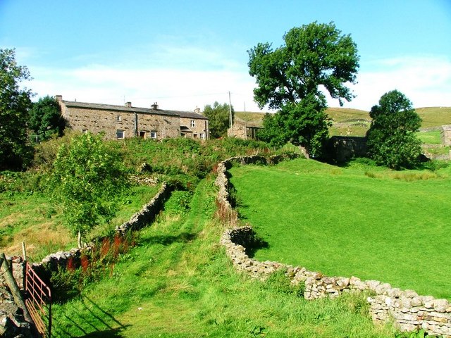
Within close proximity to the hill lies the quaint village of Clumpstone, which takes its name from the hill. The village is home to a small community of residents, who enjoy the tranquility and natural beauty that surrounds them.
Clumpstone Hill has historical significance as well, with evidence of ancient settlements and burial grounds found in the vicinity. Archaeological discoveries suggest that the hill was inhabited as far back as the Bronze Age, adding to its cultural and historical value.
Overall, Clumpstone Hill in Yorkshire offers visitors a chance to immerse themselves in the stunning natural landscapes and rich history of the region. Whether exploring the hill's trails or admiring the sweeping vistas, it is a destination that captivates all who venture there.
If you have any feedback on the listing, please let us know in the comments section below.
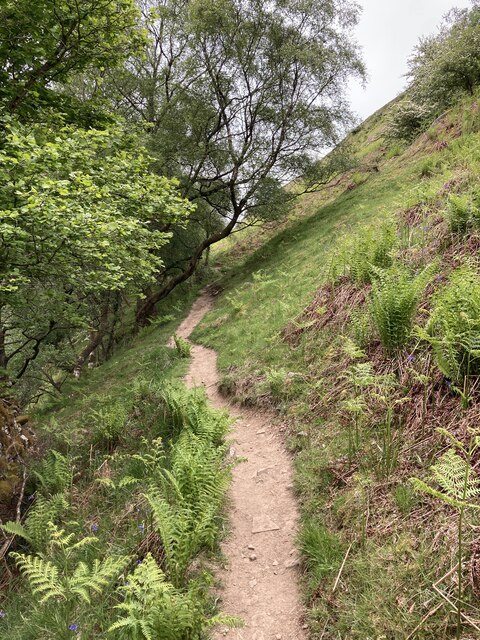
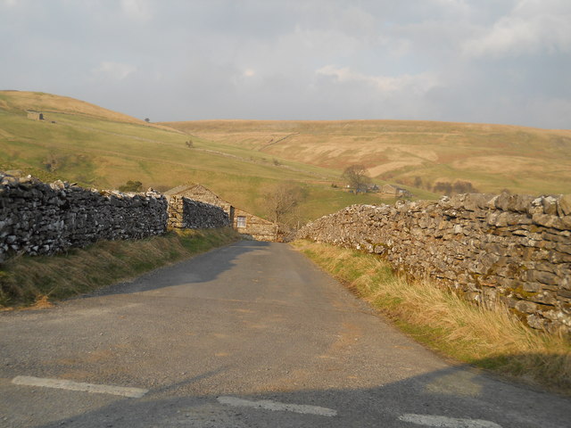
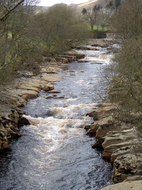
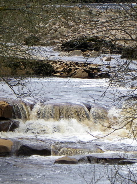
Clumpstone Hill Images
Images are sourced within 2km of 54.398991/-2.1848314 or Grid Reference NY8800. Thanks to Geograph Open Source API. All images are credited.


Clumpstone Hill is located at Grid Ref: NY8800 (Lat: 54.398991, Lng: -2.1848314)
Division: North Riding
Administrative County: North Yorkshire
District: Richmondshire
Police Authority: North Yorkshire
What 3 Words
///giraffes.talents.latitudes. Near Kirkby Stephen, Cumbria
Nearby Locations
Related Wikis
Angram, Richmondshire
Angram is a hamlet in the Yorkshire Dales in the Richmondshire district of North Yorkshire, England. It is situated near to Keld to the north and Thwaite...

Wain Wath Force
Wain Wath Force is a waterfall on the River Swale in the Yorkshire Dales National Park, North Yorkshire, England. The falls are at grid reference NY883015...
Angram Bottoms
Angram Bottoms (grid reference SD891999) is a 9.8 hectares (24 acres) biological Site of Special Scientific Interest (SSSI) near to the village of Angram...

Catrake Force
Catrake Force is a waterfall on the River Swale in North Yorkshire, England. It is not visible from the road but is accessible via a campsite in Keld....

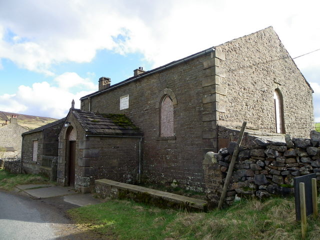
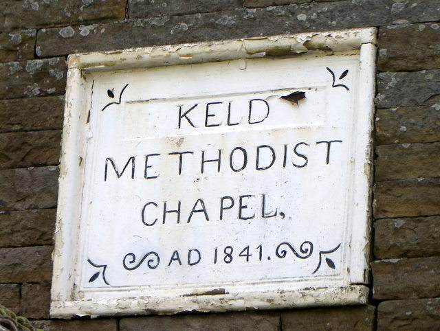
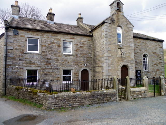
Keld, North Yorkshire
Keld is a village in the English county of North Yorkshire. It is in Swaledale, and the Yorkshire Dales National Park. The name derives from the Viking...

East Gill Force
East Gill Force is a waterfall in Swaledale, 330 yards (300 m) east of the hamlet of Keld, in the Yorkshire Dales National Park, North Yorkshire, England...

Kisdon
Kisdon, also called Kisdon Hill, is a fell situated in upper Swaledale in the Yorkshire Dales National Park in North Yorkshire, England. == Geography... ==

Kisdon Force
Kisdon Force is a series of waterfalls on the River Swale in Swaledale, England. The falls are situated within the Yorkshire Dales National Park in the...
Nearby Amenities
Located within 500m of 54.398991,-2.1848314Have you been to Clumpstone Hill?
Leave your review of Clumpstone Hill below (or comments, questions and feedback).