Ark Hill

Hill, Mountain in Northumberland

England

Ark Hill

Hadrian's Wall ditch The wall itself lies under the road on the other side of the hedge.
Hadrian's Wall ditch Credit: Sandy Gerrard

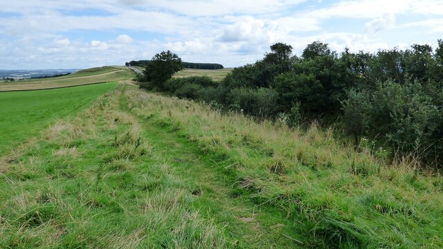
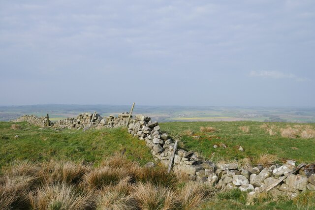
Ark Hill is a prominent geographical feature located in the county of Northumberland, in the northeast region of England. Standing at an elevation of approximately 345 meters (1,132 feet), it is classified as a hill rather than a mountain. Ark Hill is situated within the picturesque Northumberland National Park, which encompasses a vast expanse of diverse landscapes and historic sites.

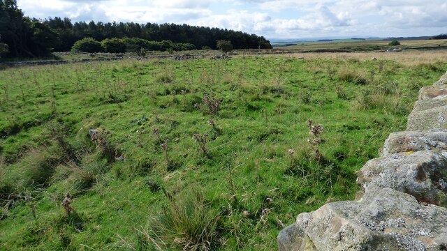
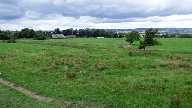
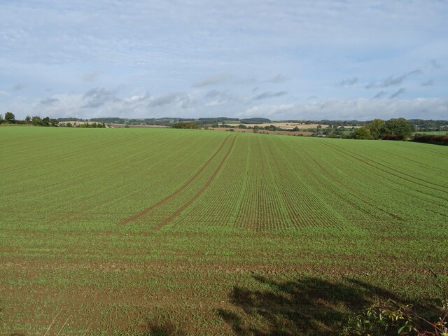
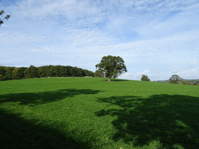
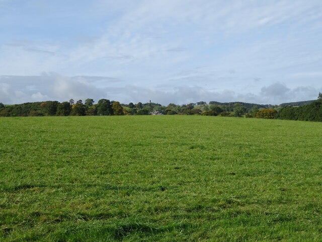
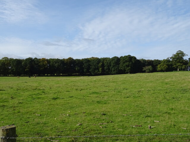
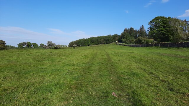
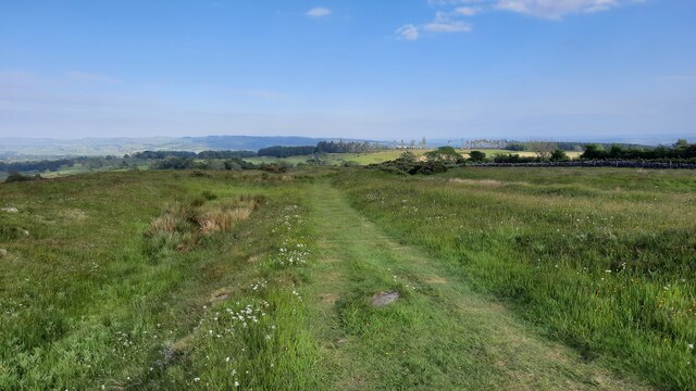
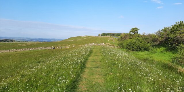
The hill is characterized by its gentle slopes and is predominantly covered in lush green vegetation, including grasses, heather, and scattered trees. Its summit offers breathtaking panoramic views of the surrounding countryside, making it a popular destination for hikers and nature enthusiasts.

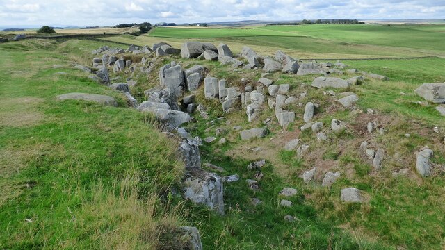
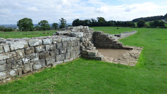
Ark Hill holds significant historical and cultural importance, as it is believed to have been a site of human activity dating back to the Neolithic period. Archaeological remains, such as burial mounds and stone circles, have been discovered in the vicinity, providing evidence of the area's rich history.

The hill is also home to a variety of wildlife, including several species of birds, such as red grouse and skylarks, as well as mammals like rabbits and foxes. Rare plants and wildflowers can be found throughout the hillside, adding to its ecological value.

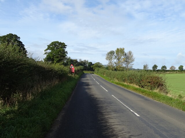
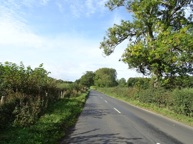
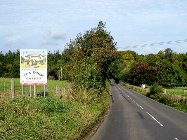
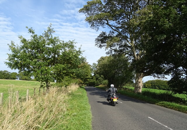
Access to Ark Hill is facilitated by a network of footpaths and trails, allowing visitors to explore the area and enjoy its natural beauty. The hill provides a serene and tranquil setting, making it an ideal location for outdoor activities, picnics, and peaceful walks in the Northumberland countryside.

If you have any feedback on the listing, please let us know in the comments section below.

Ark Hill Images

Images are sourced within 2km of 55.047778/-2.190425 or Grid Reference NY8772. Thanks to Geograph Open Source API. All images are credited.

Hadrian's Wall ditch The wall itself lies under the road on the other side of the hedge.
Hadrian's Wall ditch
The wall itself lies under the road on the other side of the hedge.
Hadrian's Wall rock cut ditch The northern defensive ditch was cut through hard dolerite at this point.
Hadrian's Wall rock cut ditch
The northern defensive ditch was cut through hard dolerite at this point.
Milecastle 30 on Hadrian's Wall Hadrian's wall or 'Vallum Aelium' is the remains of a large Roman fortification. The wall extended west from Segedunum at Wallsend on the River Tyne to the shore of the Solway Firth, ending a short but unknown distance west of the village of Bowness-on-Solway. Construction probably started sometime in AD 122 and was largely completed within six years.

The remains were made a UNESCO World Heritage Site in 1987.
Milecastle 30 on Hadrian's Wall
Hadrian's wall or 'Vallum Aelium' is the remains of a large Roman fortification. The wall extended west from Segedunum at Wallsend on the River Tyne to the shore of the Solway Firth, ending a short but unknown distance west of the village of Bowness-on-Solway. Construction probably started sometime in AD 122 and was largely completed within six years. The remains were made a UNESCO World Heritage Site in 1987.
Turret 29a on Hadrian's Wall at Black Carts
Milecastle 29 on Hadrian's Wall This milecastle survives as an earthwork.
Milecastle 29 on Hadrian's Wall
This milecastle survives as an earthwork.
Emerging crop near Haughton Strother
B6320 towards Wark
B6320 towards Wark
Grazing, Fairshaw Off the B6320.
Grazing, Fairshaw
Off the B6320.
B6320, Fairshaw Heading west towards Wark.
B6320, Fairshaw
Heading west towards Wark.
Grazing towards Simonburn
B6320 towards Wark
B6320 towards Wark
Grazing towards Hornslaw Wood West of the B6320.
Grazing towards Hornslaw Wood
West of the B6320.
Heading towards Wark Biker on the B6320.
Heading towards Wark
Biker on the B6320.
Hadrian's Wall Path near Black Carts
Hadrian's Wall Path just east of Limestone Corner
Hadrian's Wall Path between Milecastles 30 and 31
Someone else's wall, viewed from Hadrian's Wall A drystone wall viewed from the route of Hadrian's Wall, and crossing the northern defensive ditch.
Someone else's wall, viewed from Hadrian's Wall
A drystone wall viewed from the route of Hadrian's Wall, and crossing the northern defensive ditch.
Hadrian's Wall near Limestone Bank Captured in the early evening with a haar setting in over the surrounding countryside.  Gorse provides a vibrant splash of yellow from thickets growing in the defensive ditch.
Hadrian's Wall near Limestone Bank
Captured in the early evening with a haar setting in over the surrounding countryside. Gorse provides a vibrant splash of yellow from thickets growing in the defensive ditch.
Show me another place!

Ark Hill is located at Grid Ref: NY8772 (Lat: 55.047778, Lng: -2.190425)

Unitary Authority: Northumberland

Police Authority: Northumbria

What 3 Words

///bloom.straw.tailors. Near Birtley, Northumberland

Nearby Locations

Ark Hill

Related Wikis

Simonburn

Simonburn is a small human settlement in Northumberland, England. == Early history == Simonburn lies to the north of Hadrian's Wall, the most noted Roman...
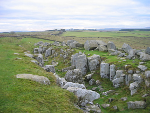
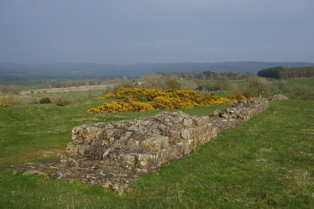
Limestone Corner

Limestone Corner is an area of Hadrian's Wall (and associated defences) at its most northerly point, in present-day northern England. It represents the...

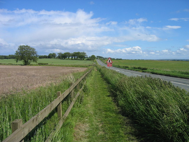
Military Road (Northumberland)

The Military Road is a name given locally to part of the B6318 road in Northumberland, England, which runs from Heddon-on-the-Wall (54.9974°N 1.7929°W...

Milecastle 30

Milecastle 30 (Limestone Corner) was a milecastle of the Roman Hadrian's Wall. Its remains exist as an outward-facing scarp with a maximum height of 0...

Nunwick Hall

Nunwick Hall is a privately owned 18th-century country house near Simonburn, Northumberland in North East England. The estate has been the home of the...

Milecastle 29

Milecastle 29 (Tower Tye) was a milecastle of the Roman Hadrian's Wall. Its remains exist as a mutilated earth platform accentuated by deep robber-trenches...

Greenhaugh

Greenhaugh is a small village in Northumberland, England. It is located northwest of Bellingham and borders the Northumberland National Park. It is in...

Carrawburgh

Carrawburgh is a settlement in Northumberland. In Roman times, it was the site of a 3+1⁄2-acre (1.5 ha) auxiliary fort on Hadrian's Wall called Brocolitia...

Nearby Amenities

Located within 500m of 55.047778,-2.190425
Ark Hill
Place: locality
Lat/Long: 55.0498114/-2.1938747
Power: pole
Lat/Long: 55.0442947/-2.1870746
Power: pole
Lat/Long: 55.044325/-2.1899409
Power: pole
Lat/Long: 55.0443452/-2.1915778
Power: pole
Lat/Long: 55.044358/-2.1933396
Power: pole
Lat/Long: 55.0443727/-2.194512
Power: pole
Lat/Long: 55.0449894/-2.1902228
Power: pole
Lat/Long: 55.0455948/-2.1904907
The data included in this document is from www.openstreetmap.org. The data is made available under ODbL.

Have you been to Ark Hill?

Leave your review of Ark Hill below (or comments, questions and feedback).