Black Hill
Hill, Mountain in Kincardineshire
Scotland
Black Hill

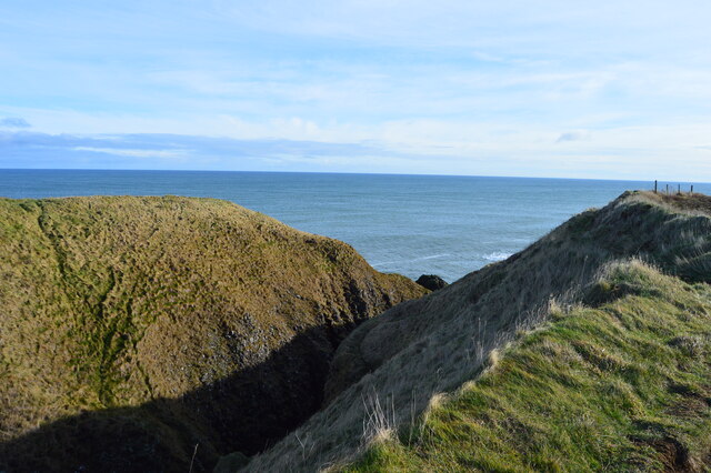
Black Hill is a prominent hill located in Kincardineshire, Scotland. It is situated in the eastern part of the county, near the town of Stonehaven. With an elevation of 374 meters (1,227 feet), it is classified as a hill rather than a mountain.
The hill is easily recognizable due to its distinctive shape, featuring a steep and rocky face on its northern side, while the southern side has a more gentle slope. It is composed mainly of granite, which gives it a rugged and craggy appearance. The hill is covered in heather, grasses, and scattered patches of trees, adding to its natural beauty.
Black Hill offers stunning panoramic views of the surrounding countryside, including the North Sea to the east and the rolling hills of Aberdeenshire to the west. On a clear day, one can even catch a glimpse of the distant Cairngorm Mountains to the northwest.
The hill is a popular destination for hikers and outdoor enthusiasts due to its accessibility and the rewarding views it offers. There are several well-marked trails leading to the summit, ranging in difficulty to cater to different skill levels. Along the way, visitors may encounter various wildlife, such as deer, birds, and rabbits.
Black Hill holds historical significance as well. It is believed to have been used as a hillfort in ancient times, serving as a defensive stronghold. Archaeological remains have been discovered on the hill, including remnants of fortifications and pottery fragments.
Overall, Black Hill is an outstanding natural feature of Kincardineshire, attracting both locals and tourists alike with its striking appearance, breathtaking views, and historical significance.
If you have any feedback on the listing, please let us know in the comments section below.
Black Hill Images
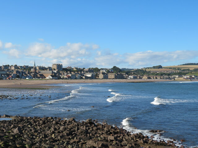
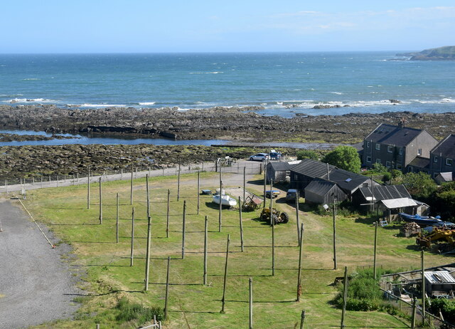
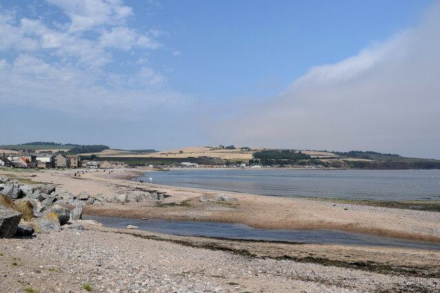
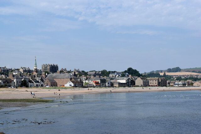
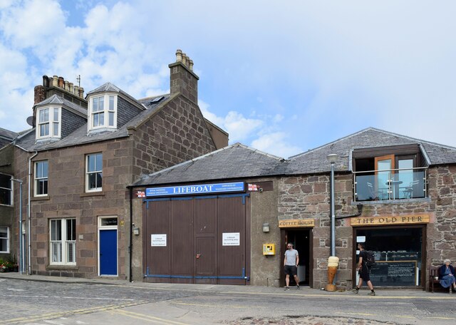
Images are sourced within 2km of 56.954876/-2.2029965 or Grid Reference NO8784. Thanks to Geograph Open Source API. All images are credited.
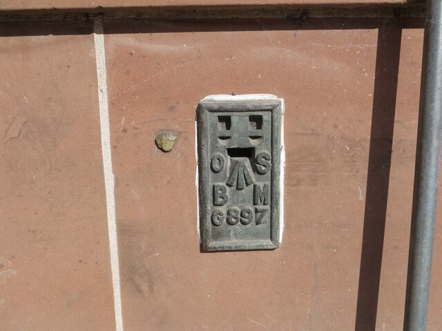
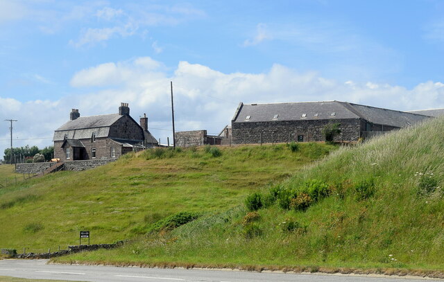
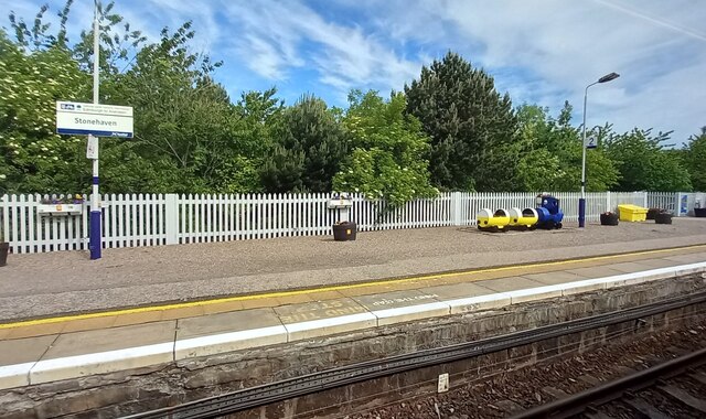

Black Hill is located at Grid Ref: NO8784 (Lat: 56.954876, Lng: -2.2029965)
Unitary Authority: Aberdeenshire
Police Authority: North East
What 3 Words
///hammer.angel.mourner. Near Stonehaven, Aberdeenshire
Nearby Locations
Related Wikis
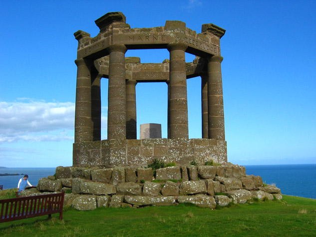
Stonehaven War Memorial
Stonehaven War Memorial is a war memorial situated on Black Hill overlooking Stonehaven in Scotland. == History == The memorial was designed by a Stonehaven...

Strathlethan Bay
Strathlethan Bay is on the North Sea coast of Aberdeenshire, Scotland just south of Stonehaven. To the north is Downie Point near which lies Stonehaven...

Dunnicaer
Dunnicaer, or Dun-na-caer, is a precipitous sea stack just off the coast of Aberdeenshire, Scotland, between Dunnottar Castle and Stonehaven. Despite the...
Downie Point
Downie Point is a prominent headland located at the southern edge of Stonehaven Bay in Aberdeenshire, Scotland. (United Kingdom, 2004) From the Stonehaven...
Nearby Amenities
Located within 500m of 56.954876,-2.2029965Have you been to Black Hill?
Leave your review of Black Hill below (or comments, questions and feedback).