Bentha Hill

Hill, Mountain in Yorkshire Pendle

England

Bentha Hill

Farm buildings by the A59
Farm buildings by the A59 Credit: Anthony Parkes

Bentha Hill, situated in the county of Yorkshire, is a prominent hill that forms part of the Yorkshire Dales National Park in England. With an elevation of approximately 414 meters (1,358 feet), it is classified as a hill rather than a mountain.

The hill is located in the northern part of the national park, close to the small village of Ingleton. It is a popular destination for hikers and nature enthusiasts, offering stunning panoramic views of the surrounding countryside. The ascent to the summit is relatively easy, making it accessible to people of all fitness levels.

Bentha Hill boasts diverse flora and fauna, with heather-covered moorland, grassy slopes, and scattered woodland. The hill is home to a variety of bird species, including peregrine falcons, red kites, and curlews. It is also known for its abundance of wildflowers, such as orchids and bluebells, which create a colorful tapestry during the spring and summer months.

One of the main attractions of Bentha Hill is its proximity to the famous Ingleton Waterfalls Trail. This scenic trail passes through woodlands, meadows, and along the River Doe, showcasing a series of stunning waterfalls, including the popular Thornton Force. Many visitors combine a hike up Bentha Hill with a visit to the waterfalls, creating a memorable day out in the Yorkshire Dales.

Overall, Bentha Hill offers a picturesque and accessible outdoor experience, providing visitors with breathtaking views, diverse wildlife, and the opportunity to explore the natural beauty of the Yorkshire Dales.

If you have any feedback on the listing, please let us know in the comments section below.
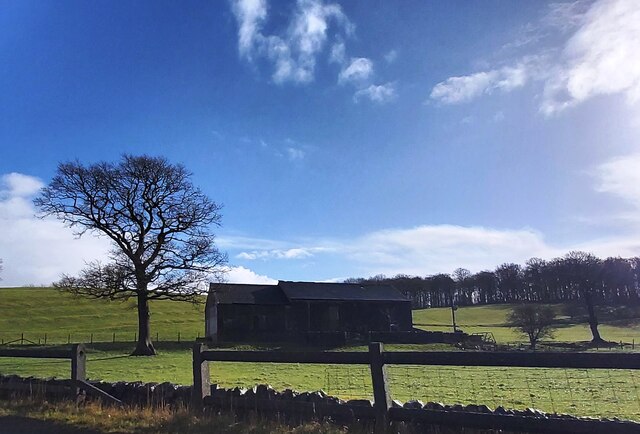
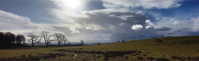
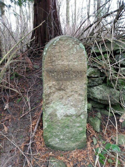
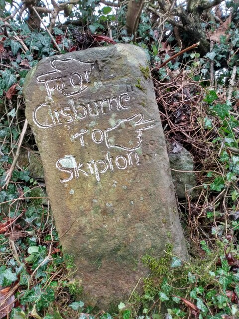
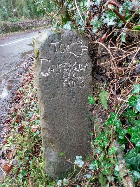
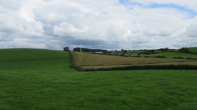
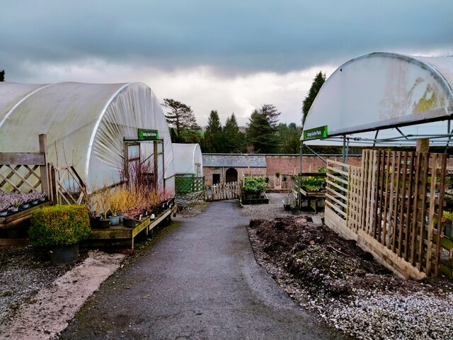
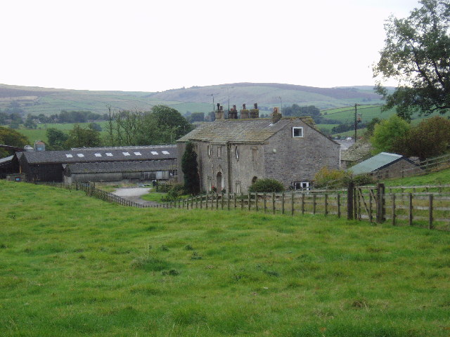
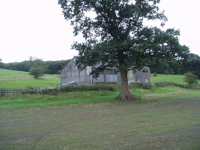
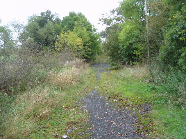
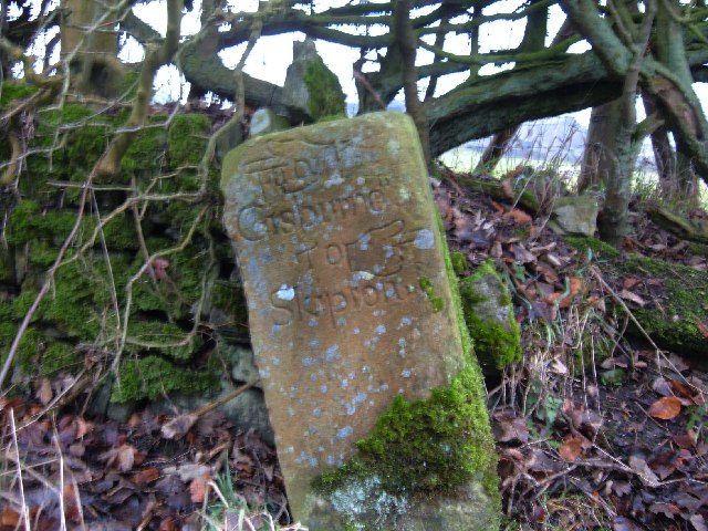
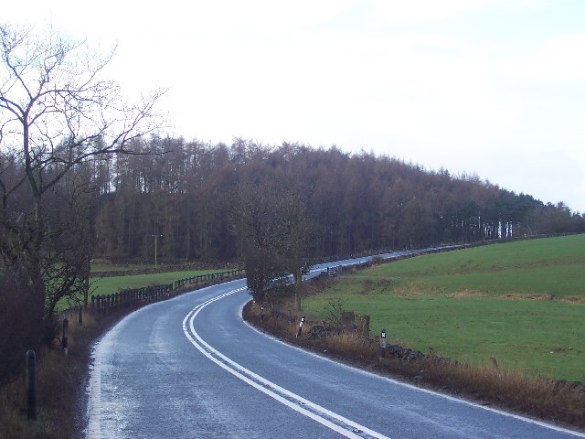
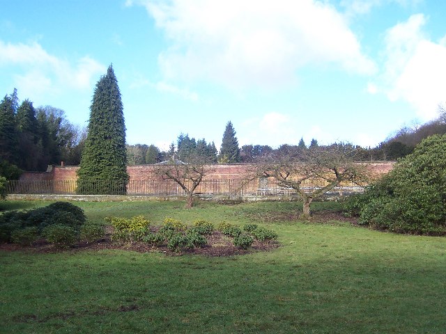
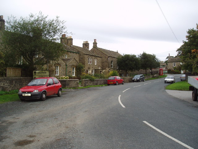
Bentha Hill Images

Images are sourced within 2km of 53.948013/-2.1901575 or Grid Reference SD8750. Thanks to Geograph Open Source API. All images are credited.

Farm buildings by the A59
Bentha Hill Fields
Bentha Hill Fields
Old Boundary Marker on the edge of Tosber Wood Parish Boundary Marker on the edge of Tosber Wood to the rear of a drainage ditch on the west side of an unnamed road 500 metres northeast of its junction with the A59. On the boundary of Martons Both, Horton and Bracewell parishes. All were formerly in The West Riding but since 1974 the stone has been on the border of Lancashire and North Yorkshire. Bracewell combined with Brogden parish Bracewell and Brogden parish in 1987. Grade II Listed details <span class="nowrap"><a title="https://historicengland.org.uk/listing/the-list/list-entry/1317724" rel="nofollow ugc noopener" href="https://historicengland.org.uk/listing/the-list/list-entry/1317724">Link</a><img style="margin-left:2px;" alt="External link" title="External link - shift click to open in new window" src="https://s1.geograph.org.uk/img/external.png" width="10" height="10"/></span>.

Milestone Society National ID: YW_MART01pb
Old Boundary Marker on the edge of Tosber Wood
Parish Boundary Marker on the edge of Tosber Wood to the rear of a drainage ditch on the west side of an unnamed road 500 metres northeast of its junction with the A59. On the boundary of Martons Both, Horton and Bracewell parishes. All were formerly in The West Riding but since 1974 the stone has been on the border of Lancashire and North Yorkshire. Bracewell combined with Brogden parish Bracewell and Brogden parish in 1987. Grade II Listed details LinkExternal link. Milestone Society National ID: YW_MART01pb
Old Guide Stone by Gledstone Road, North of A59 West Marton (East face) The Guide Stone is located near Gledstone Hall on the West side of the road.  Parish of Martons Both (Craven District). Carved stone post, erected in the 18/19C Century, edge chips. An earlier photograph can be found here: <a title="https://www.geograph.org.uk/photo/6094334" href="https://www.geograph.org.uk/photo/6094334">Link</a> 

Inscription reads:-  
{hand to left} / TO (in hand)/ Gisburne / TO {hand to right} /Skipton : :  TO / Gargrave / Ms 3 

Milestone Society National ID: YN_XWMAR
Old Guide Stone by Gledstone Road, North of A59 West Marton (East face)
The Guide Stone is located near Gledstone Hall on the West side of the road.  Parish of Martons Both (Craven District). Carved stone post, erected in the 18/19C Century, edge chips. An earlier photograph can be found here: Link  Inscription reads:- {hand to left} / TO (in hand)/ Gisburne / TO {hand to right} /Skipton : : TO / Gargrave / Ms 3 Milestone Society National ID: YN_XWMAR
Old Guide Stone by Gledstone Road, North of A59 West Marton (West face) The Guide Stone is located near Gledstone Hall on the West side of the road.  Parish of Martons Both (Craven District). Carved stone post, erected in the 18th/19th Century, edge chips. The East face photograph can be found here: <a title="https://www.geograph.org.uk/photo/7383076" href="https://www.geograph.org.uk/photo/7383076">Link</a> 

Inscription reads:-  
{hand to left} / TO (in hand)/ Gisburne / TO {hand to right} /Skipton : :  TO / Gargrave / Ms 3 

Milestone Society National ID: YN_XWMAR
Old Guide Stone by Gledstone Road, North of A59 West Marton (West face)
The Guide Stone is located near Gledstone Hall on the West side of the road.  Parish of Martons Both (Craven District). Carved stone post, erected in the 18th/19th Century, edge chips. The East face photograph can be found here: Link  Inscription reads:- {hand to left} / TO (in hand)/ Gisburne / TO {hand to right} /Skipton : : TO / Gargrave / Ms 3 Milestone Society National ID: YN_XWMAR
Public footpath East of Horton Looking East at public footpath crossing fields between Horton and Pasture House Farm.
Public footpath East of Horton
Looking East at public footpath crossing fields between Horton and Pasture House Farm.
Gledstone Garden Centre Tucked away in countryside off the A59 in West Marton is this fine garden centre with huge array of plants for sale.
Gledstone Garden Centre
Tucked away in countryside off the A59 in West Marton is this fine garden centre with huge array of plants for sale.
Marton Hall Farm, West Marton, Yorkshire A well-established farm not far south of the A 59.  View from the north.
Marton Hall Farm, West Marton, Yorkshire
A well-established farm not far south of the A 59. View from the north.
West Marton Village, Yorkshire A small village on the A 59.  There's a small Post Office, but no church or pub - they are in East Marton, a mile away.
West Marton Village, Yorkshire
A small village on the A 59. There's a small Post Office, but no church or pub - they are in East Marton, a mile away.
Barn or agricultural store off A 59 Surprisingly this rather ramshackle building is comparatively modern as it does not appear on the 1910 edition six-inch map.  It is about 100 yards south of the A 59 half a mile west of the West Marton crossroads.
Barn or agricultural store off A 59
Surprisingly this rather ramshackle building is comparatively modern as it does not appear on the 1910 edition six-inch map. It is about 100 yards south of the A 59 half a mile west of the West Marton crossroads.
A road no longer.... The A 59 (no longer a trunk since completion of the M65) has been subject to many improvements and straightenings over the years. In several places this has left 'dead' loops of the old road, as here between West Marton and Gisburn in Yorkshire.  Some of the road markings can still be discerned.  View looking east, near to where 'Dick Turpin's' (a mobile roadside cafe) is normally parked, but on this day he was not there.
A road no longer....
The A 59 (no longer a trunk since completion of the M65) has been subject to many improvements and straightenings over the years. In several places this has left 'dead' loops of the old road, as here between West Marton and Gisburn in Yorkshire. Some of the road markings can still be discerned. View looking east, near to where 'Dick Turpin's' (a mobile roadside cafe) is normally parked, but on this day he was not there.
Old Guide stone This old stone carved guide stone is located in the bottom of a hedgerow at a junction of minor roads near Gledstone Hall. Note the old spelling of Gisburn as "Gisburne".
Old Guide stone
This old stone carved guide stone is located in the bottom of a hedgerow at a junction of minor roads near Gledstone Hall. Note the old spelling of Gisburn as "Gisburne".
Woods on Swire Hill These woods appear clothing Swire Hill, as the A59 Skipton to Clitheroe sweeps sharply around a left hand bend.
Woods on Swire Hill
These woods appear clothing Swire Hill, as the A59 Skipton to Clitheroe sweeps sharply around a left hand bend.
Gardens, Gledstone Hall Part of the estate that comprises Gledstone Hall, north of West Marton
Gardens, Gledstone Hall
Part of the estate that comprises Gledstone Hall, north of West Marton
A59 What appears to be a quiet country road, once was the main road between Liverpool and York, when in the 1980s the new road was built 20m to the right. It is now used as a lorry stop, at the eastern end of the old road Dick Turpin's roadside cafe will sell you an excellent cup of tea and a bacon butty
A59
What appears to be a quiet country road, once was the main road between Liverpool and York, when in the 1980s the new road was built 20m to the right. It is now used as a lorry stop, at the eastern end of the old road Dick Turpin's roadside cafe will sell you an excellent cup of tea and a bacon butty
Barn Barn on the side of the track which goes from Mire House to Ingthorpe Grange
Barn
Barn on the side of the track which goes from Mire House to Ingthorpe Grange
Dick Turpin's Just packing up, he has had enough, it's been a long day, off home for a nice cup of tea
Dick Turpin's
Just packing up, he has had enough, it's been a long day, off home for a nice cup of tea
On Flambers Hill About 720ft in altitude in rolling countryside, this small hill offers views of great quality, and worth the little effort it takes for the ascent
On Flambers Hill
About 720ft in altitude in rolling countryside, this small hill offers views of great quality, and worth the little effort it takes for the ascent
Show me another place!

Bentha Hill is located at Grid Ref: SD8750 (Lat: 53.948013, Lng: -2.1901575)

Division: West Riding

Administrative County: Lancashire

District: Pendle

Police Authority: Lancashire

What 3 Words

///streak.canines.views. Near Barnoldswick, Lancashire

Related Wikis

Gledstone Hall

Gledstone Hall is a 20th-century country house in West Marton, near Skipton, North Yorkshire, England. Designed by Edwin Lutyens it stands in a 12-hectare...

Martons Both

Martons Both is a civil parish in the Craven district of North Yorkshire, England. The civil parish is formed by the villages of East Marton and West Marton...

West Marton

West Marton is a village in the Craven district of North Yorkshire, England. It is on the A59 road about 6.5 miles (10.5 km) west of the market town of...

Horton, Lancashire

Horton, historically known as Horton-in-Craven, is a village and a civil parish in the Ribble Valley district of the English county of Lancashire (historically...

Nearby Amenities

Located within 500m of 53.948013,-2.1901575
Bentha Hill
Natural: peak
Source: OS 1:25k
Lat/Long: 53.9479085/-2.189605
The data included in this document is from www.openstreetmap.org. The data is made available under ODbL.

Have you been to Bentha Hill?

Leave your review of Bentha Hill below (or comments, questions and feedback).