Butt Roads
Hill, Mountain in Roxburghshire
Scotland
Butt Roads
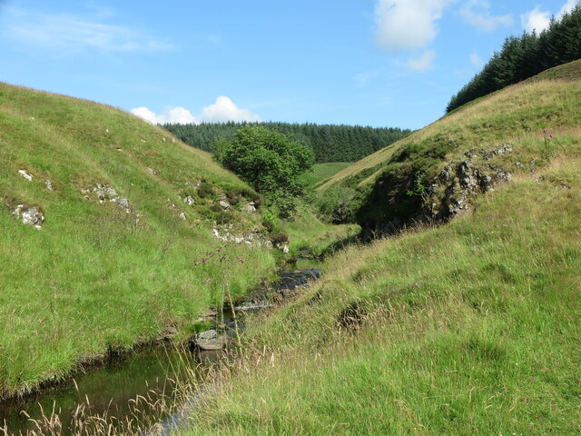
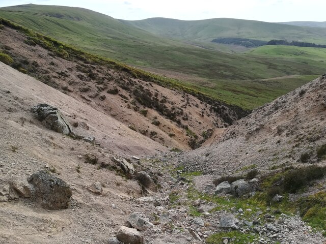
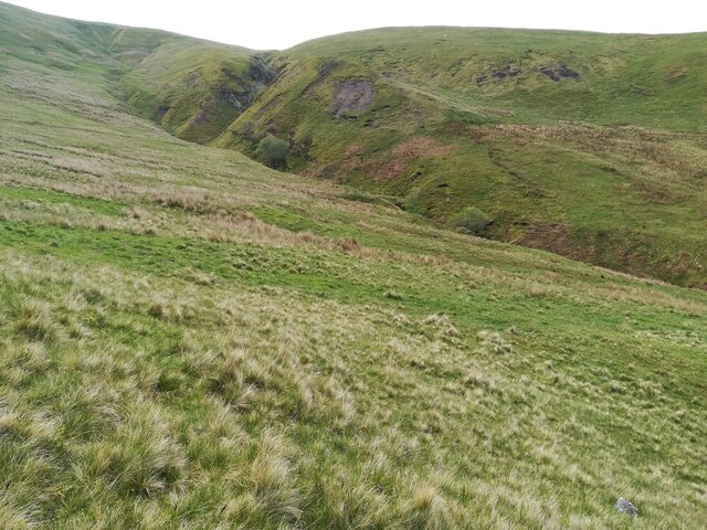
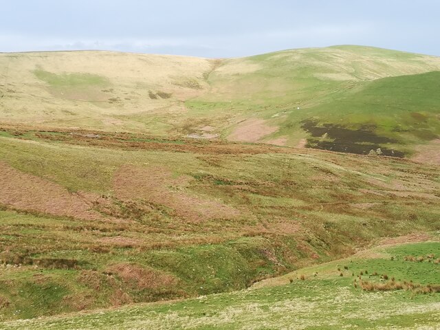
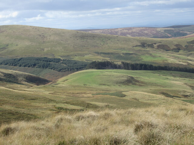
Butt Roads is a prominent hill located in Roxburghshire, a historic county in the southern part of Scotland. It is situated near the village of Roxburgh, approximately 3 miles southwest of the town of Kelso. Butt Roads is part of the Cheviot Hills range, which stretches across the border of Scotland and England.
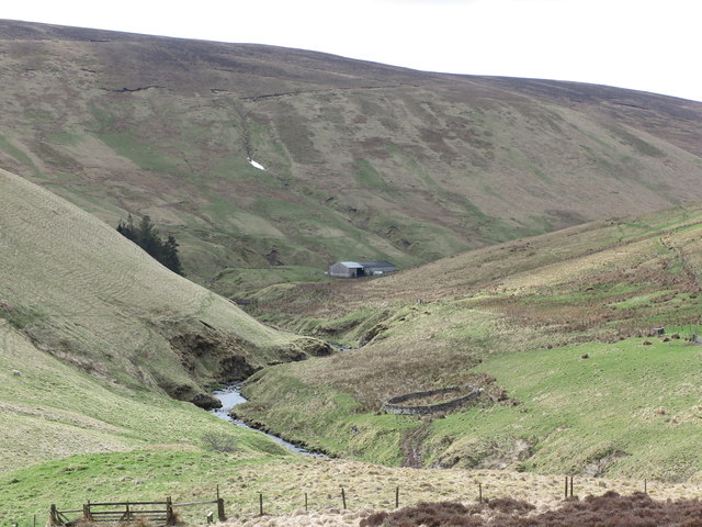
Rising to an elevation of around 476 meters (1,562 feet), Butt Roads offers breathtaking views of the surrounding countryside. Its location at the edge of the Cheviot Hills provides an ideal vantage point to observe the rolling hills, meandering rivers, and picturesque valleys that define the landscape of Roxburghshire.
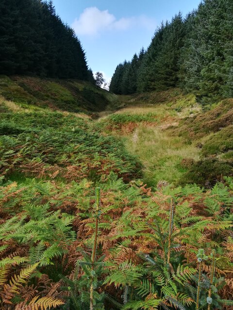
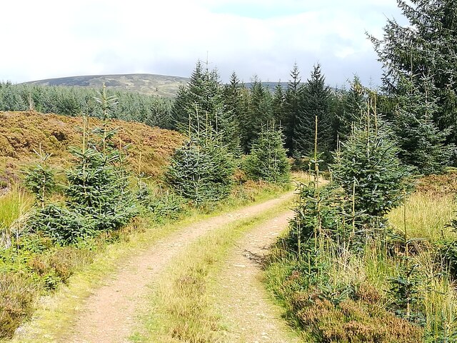
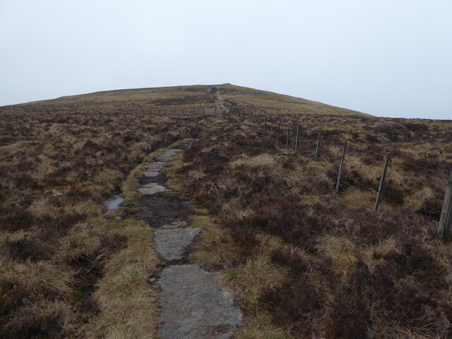
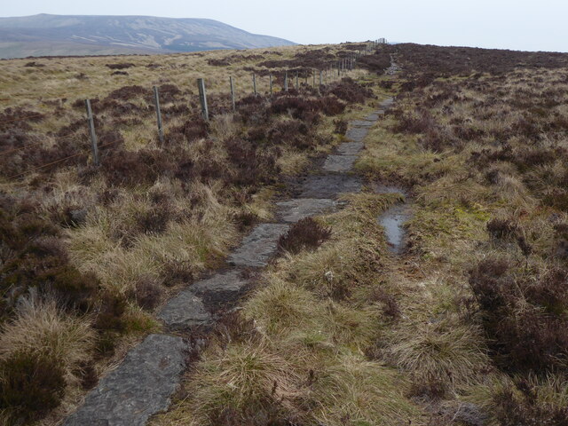
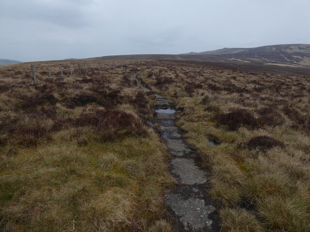
The hill is accessible via various walking routes and trails, allowing outdoor enthusiasts and hikers to explore its scenic beauty. The paths leading to Butt Roads are well-maintained, making it a popular destination for both locals and tourists seeking an invigorating outdoor experience.
The summit of Butt Roads offers a panoramic view of the surrounding area, including the nearby River Teviot, the Eildon Hills to the northwest, and the rugged terrain of the Scottish Borders region. On a clear day, it is even possible to catch a glimpse of the Northumberland National Park in England.
Butt Roads is not only a natural gem but also holds historical significance. The hill overlooks the remains of Roxburgh Castle, once a formidable fortress that played a crucial role in the turbulent history of the Scottish-English border. Today, the ruins of the castle serve as a reminder of the area's rich past and provide visitors with a glimpse into its medieval heritage.
In conclusion, Butt Roads is a captivating hill in Roxburghshire, Scotland, offering stunning views, hiking opportunities, and a connection to the region's historical legacy.
If you have any feedback on the listing, please let us know in the comments section below.
Butt Roads Images
Images are sourced within 2km of 55.44271/-2.1976989 or Grid Reference NT8716. Thanks to Geograph Open Source API. All images are credited.


Butt Roads is located at Grid Ref: NT8716 (Lat: 55.44271, Lng: -2.1976989)
Unitary Authority: The Scottish Borders
Police Authority: The Lothians and Scottish Borders
What 3 Words
///relaxed.engraving.rooms. Near Kirknewton, Northumberland
Nearby Locations
Related Wikis

Windy Gyle
Windy Gyle is a mountain in the Cheviot Hills range, on the border between England and Scotland. Like the other hills in the area, it is rounded and grass...

Cheviot Hills
The Cheviot Hills (), or sometimes The Cheviots, are a range of uplands straddling the Anglo-Scottish border between Northumberland and the Scottish Borders...

The Cheviot
The Cheviot () is an extinct volcano and the highest summit in the Cheviot Hills and in the county of Northumberland. Located in the extreme north of England...

Kidland
Kidland is a former civil parish, now in the parish of Alwinton in Northumberland, England, about 2 miles (3 km) northwest of Alwinton village. In 1951...
Barrow Burn Meadows
Barrow Burn Meadows is a Site of Special Scientific Interest (SSSI) in north Northumberland, England. The site is a species-rich hay meadow of a sort now...

Barrow Burn
Barrowburn is a hamlet in Upper Coquetdale in the county of Northumberland, England. It comprises a working farm with associated buildings and two holiday...

Shillhope Law
Shillhope Law is a hill in the southern Cheviots, a range of hills in Northumberland, England. Shillhope Law is a relatively unremarkable member of this...

Mowhaugh
Mowhaugh is a hamlet and farm steading near the Calroust Burn and the Bowmont Water, near Morebattle, in the Scottish Borders area of Scotland, and in...
Nearby Amenities
Located within 500m of 55.44271,-2.1976989Have you been to Butt Roads?
Leave your review of Butt Roads below (or comments, questions and feedback).