Round Hill
Hill, Mountain in Staffordshire South Staffordshire
England
Round Hill
Round Hill is a prominent landmark located in the county of Staffordshire, England. It is a hill/mountain with an elevation of approximately 425 meters (1,394 feet) above sea level. Situated near the village of Ipstones, Round Hill offers breathtaking panoramic views of the surrounding countryside.
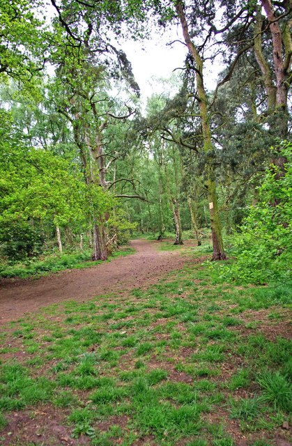
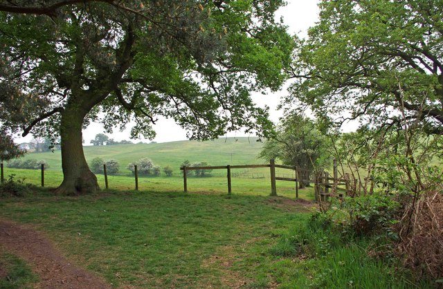
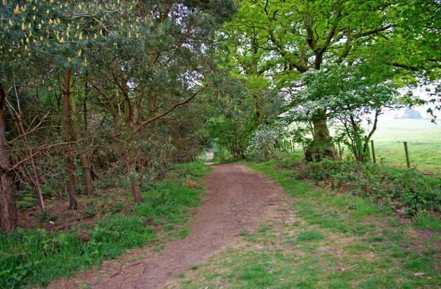
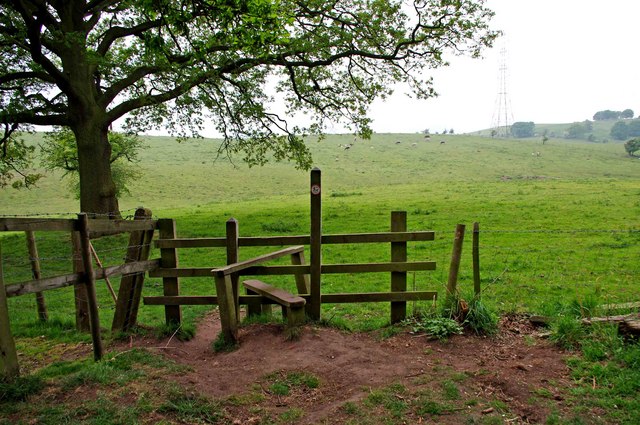
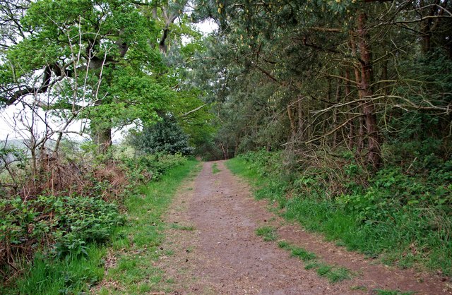
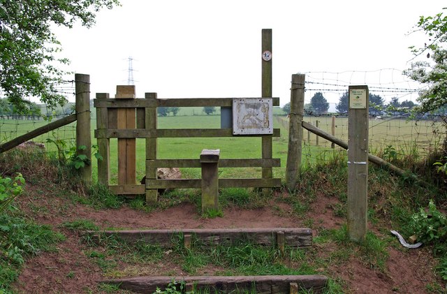
The hill is part of the Staffordshire Moorlands, an area known for its rolling hills and picturesque landscapes. Its distinct rounded shape gives it its name and makes it easily recognizable from a distance. Covered in lush green vegetation, Round Hill is a popular destination for nature enthusiasts and hikers, offering a range of trails and footpaths for exploration.
At the summit of Round Hill, visitors can enjoy stunning vistas of the Staffordshire countryside, with views stretching as far as the eye can see. On clear days, landmarks such as the Roaches, a collection of gritstone outcrops, and the Churnet Valley can be seen from this vantage point.
Round Hill is also home to a variety of wildlife, including birds, rabbits, and deer, making it an ideal spot for birdwatching and wildlife photography. The hill is protected as part of the Peak District National Park, ensuring the preservation of its natural beauty and biodiversity.
In addition to its natural allure, Round Hill has historical significance. It is believed that the hill was once the site of Bronze Age settlements, and remnants of ancient burial mounds have been discovered in the vicinity.
Overall, Round Hill in Staffordshire offers visitors a combination of natural beauty, panoramic views, and a glimpse into the region's rich history, making it a must-visit destination for outdoor enthusiasts and those seeking a tranquil escape.
If you have any feedback on the listing, please let us know in the comments section below.
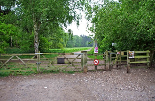
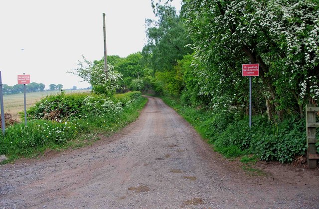
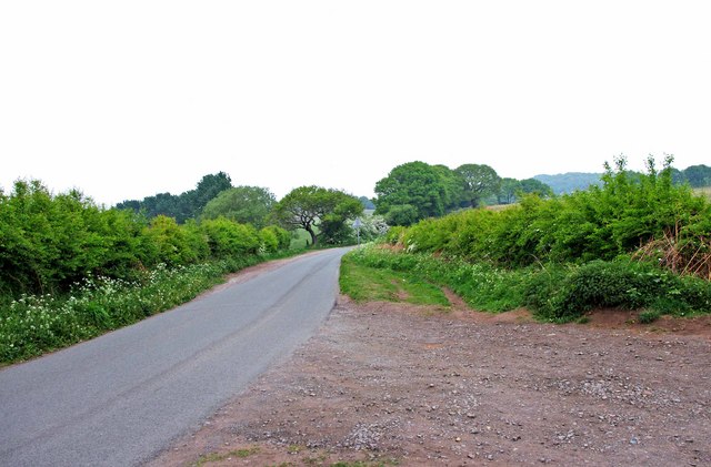
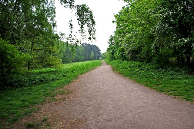
Round Hill Images
Images are sourced within 2km of 52.451266/-2.1846233 or Grid Reference SO8783. Thanks to Geograph Open Source API. All images are credited.


Round Hill is located at Grid Ref: SO8783 (Lat: 52.451266, Lng: -2.1846233)
Administrative County: Staffordshire
District: South Staffordshire
Police Authority: Staffordshire
What 3 Words
///bombshell.owls.statue. Near Stourbridge, West Midlands
Nearby Locations
Related Wikis

Ridgewood High School, Wollaston
Ridgewood High School is a coeducational secondary school, a part of the Stour Vale Academy Trust situated in Wollaston (near Stourbridge), in the West...
Norton, Stourbridge
Norton is a suburb and council ward in the town of Stourbridge, West Midlands. It has a population of 11,943 in an area of 569 hectares. The population...
Wollaston, West Midlands
Wollaston is a village on the outskirts of Stourbridge in the English West Midlands. It is located in the south of the Dudley Metropolitan Borough, one...
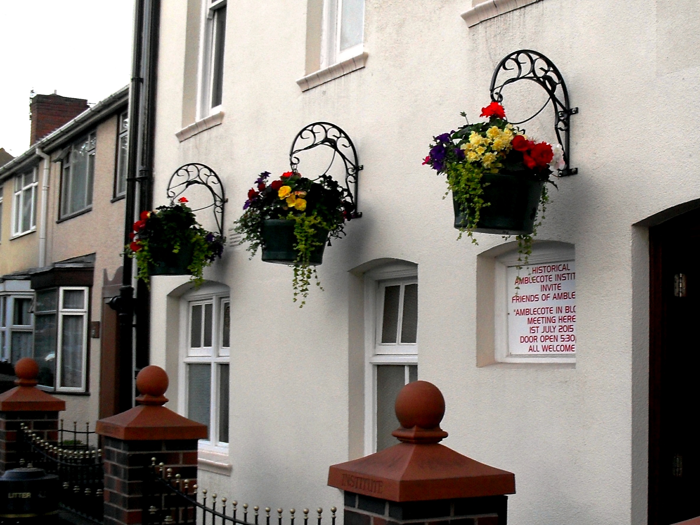
Amblecote
Amblecote is an affluent urban village in the Metropolitan Borough of Dudley in the West Midlands, England. It lies immediately north of the historic town...
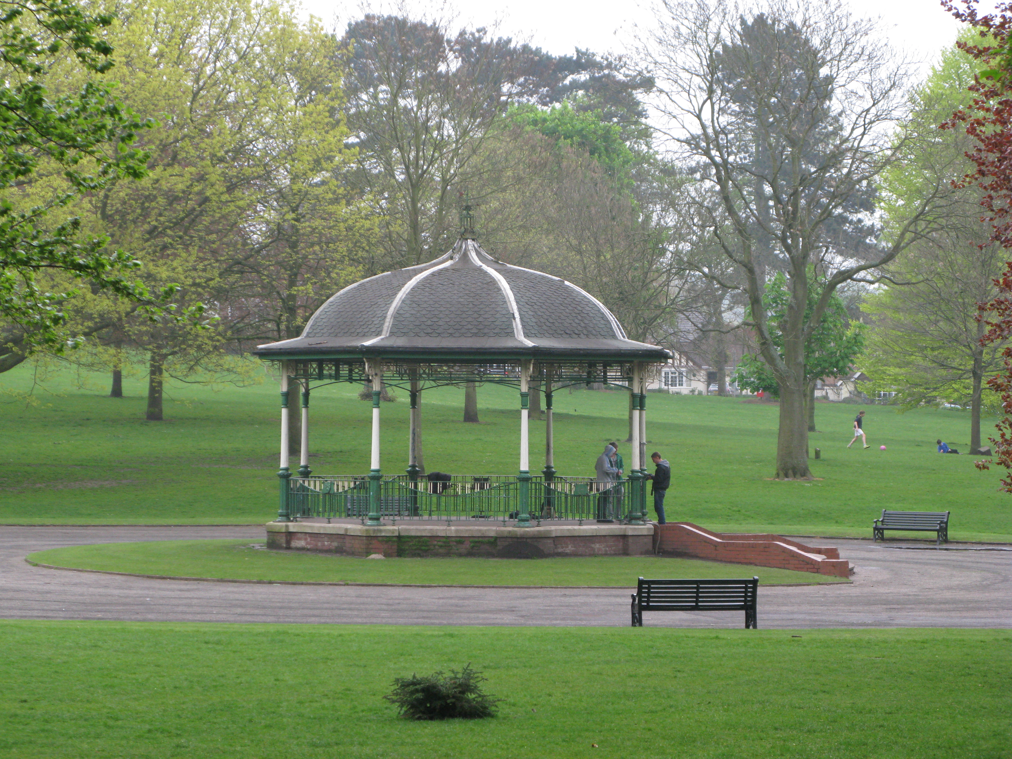
Mary Stevens Park
Mary Stevens Park is a public park located in Norton, Stourbridge, West Midlands, UK. Opened to the public in 1931, it attracts 1.3 million visitors per...
Stourton, Staffordshire
Stourton is a hamlet in Staffordshire, England a few miles to the northwest of Stourbridge. There is a fair amount of dispute over the pronunciation, being...
Battle of Stourbridge Heath
The Battle of Stourbridge Heath (26 March 1644) was a skirmish that took place during the First English Civil War, in which a Parliamentarian contingent...
Smestow Brook
The Smestow Brook, sometimes called the River Smestow, is a small river that plays an important part in the drainage of Wolverhampton, South Staffordshire...
Nearby Amenities
Located within 500m of 52.451266,-2.1846233Have you been to Round Hill?
Leave your review of Round Hill below (or comments, questions and feedback).