Burnt Hill
Hill, Mountain in Westmorland Eden
England
Burnt Hill
Burnt Hill is a prominent hill located in the county of Westmorland, in the northwest region of England. Standing at an elevation of approximately 342 meters (1,122 feet), it is classified as a hill rather than a mountain due to its height falling just below the threshold of 610 meters (2,000 feet) that distinguishes the two.
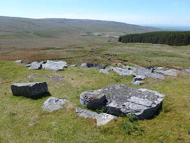
Situated in the picturesque landscape of the Lake District National Park, Burnt Hill offers breathtaking panoramic views of the surrounding countryside. The hill is known for its distinctive burnt orange color, which gives it its name. The vibrant hue is the result of the rich iron deposits found in the soil, creating a unique and striking visual appeal.
The slopes of Burnt Hill are covered with a diverse range of vegetation, including grasses, heather, and scattered trees. This creates a habitat that supports various species of wildlife, making it an attractive destination for nature enthusiasts and hikers.
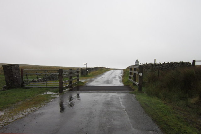
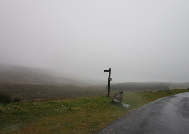
Access to Burnt Hill is available via several footpaths and trails that wind through the surrounding area. These routes offer visitors the opportunity to explore the hill's natural beauty and enjoy the tranquility of the countryside. Additionally, the hill provides an excellent vantage point for observing birdlife and taking in the stunning vistas of the nearby valleys and mountains.
Overall, Burnt Hill in Westmorland is a captivating natural landmark that showcases the beauty of the Lake District. Its unique coloration, diverse flora and fauna, and scenic views make it a popular destination for outdoor enthusiasts and those seeking a peaceful retreat in the heart of England's countryside.
If you have any feedback on the listing, please let us know in the comments section below.
Burnt Hill Images
Images are sourced within 2km of 54.479024/-2.1941283 or Grid Reference NY8709. Thanks to Geograph Open Source API. All images are credited.


![Boundary stone, High Greygrits [2] The SE side of this stone is inscribed 'Township of Kaber'.](https://s0.geograph.org.uk/geophotos/03/12/33/3123332_64979e87.jpg)


Burnt Hill is located at Grid Ref: NY8709 (Lat: 54.479024, Lng: -2.1941283)
Administrative County: Cumbria
District: Eden
Police Authority: Cumbria
What 3 Words
///drop.wolves.eyeful. Near Kirkby Stephen, Cumbria
Nearby Locations
Related Wikis

Stainmore Summit
Stainmore Summit is the highest point on the trans-Pennine South Durham & Lancashire Union Railway, also known as the Stainmore Railway in Northern England...

Tan Hill, North Yorkshire
Tan Hill (NY896067) is a high point on the Pennine Way in the Richmondshire district of North Yorkshire, England. It lies north of Keld in the civil parish...

Belah Viaduct
The Belah Viaduct was a railway viaduct on the South Durham and Lancashire Union Railway, crossing the River Belah, in Cumbria, England, about 1 mile...

Snowdrift at Bleath Gill
Snowdrift at Bleath Gill is a 1955 British Transport Film documentary directed by Kenneth Fairbairn. The 10-minute-long film presents a first-hand account...

Barras railway station
Barras railway station was situated on the South Durham & Lancashire Union Railway between Barnard Castle and Kirkby Stephen East. == History == The station...

Rey Cross
Rey Cross is the remains of a stone cross at Stainmore. It is also known as Rere Cross and is a Grade II* listed structure and a scheduled monument. It...

Barras, Cumbria
Barras is a hamlet close to the River Belah, about 4 miles (6 kilometres) south-east of Brough, Cumbria, England. Until the creation of the new county...

Bowes Moor
Bowes Moor is a Site of Special Scientific Interest in the County Durham district in south-west County Durham, England. It is an extensive area of moorland...
Nearby Amenities
Located within 500m of 54.479024,-2.1941283Have you been to Burnt Hill?
Leave your review of Burnt Hill below (or comments, questions and feedback).