Crookbarrow Hill
Hill, Mountain in Worcestershire Wychavon
England
Crookbarrow Hill
Crookbarrow Hill is a prominent geological formation located in Worcestershire, England. Classified as a hill, it is situated within the Malvern Hills Area of Outstanding Natural Beauty. Rising to an elevation of approximately 239 meters (784 feet), Crookbarrow Hill offers panoramic views of the surrounding countryside.
The hill is composed of ancient rocks belonging to the Mercia Mudstone Group, dating back to the Silurian Period of geological history, around 440 to 420 million years ago. These sedimentary rocks consist primarily of mudstones and siltstones, with occasional sandstone layers.
Crookbarrow Hill is densely covered by a mix of deciduous and coniferous woodland, providing habitat for various flora and fauna. The hill's slopes are home to a diverse range of plant species, including bluebells, primroses, and foxgloves, creating a colorful display during the spring and summer months.
The area surrounding Crookbarrow Hill offers a network of footpaths and trails, making it a popular destination for hikers, walkers, and nature enthusiasts. The hill is easily accessible and is located near the city of Worcester, providing a convenient outdoor retreat for locals and visitors alike.
In addition to its natural beauty, Crookbarrow Hill also has historical significance. It is believed to have been used as a hillfort during the Iron Age, with remnants of earthworks and ditches still visible today. These archaeological features contribute to the hill's cultural heritage and attract those interested in history and archaeology.
Overall, Crookbarrow Hill showcases the natural and historical wonders of Worcestershire, offering a tranquil escape and a glimpse into the region's rich geological and cultural past.
If you have any feedback on the listing, please let us know in the comments section below.
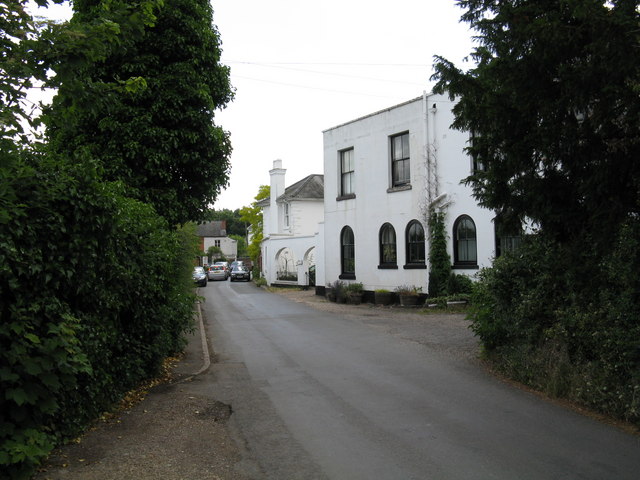
Crookbarrow Hill Images
Images are sourced within 2km of 52.168756/-2.1851607 or Grid Reference SO8752. Thanks to Geograph Open Source API. All images are credited.


Crookbarrow Hill is located at Grid Ref: SO8752 (Lat: 52.168756, Lng: -2.1851607)
Administrative County: Worcestershire
District: Wychavon
Police Authority: West Mercia
What 3 Words
///branch.blend.tent. Near Worcester, Worcestershire
Nearby Locations
Related Wikis
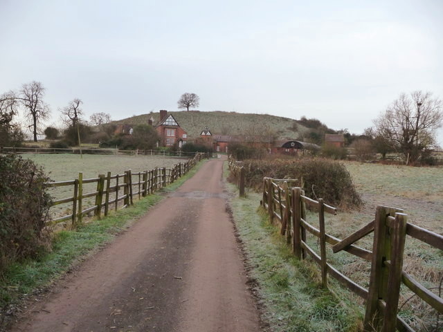
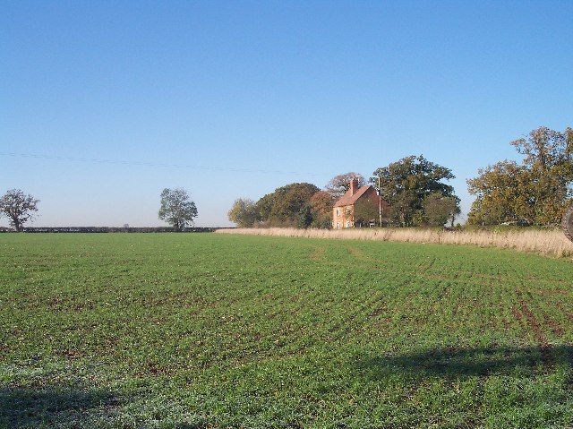
Whittington Tump
Whittington Tump or Crookbarrow Hill is a partly artificial mound in central Worcestershire, England. There is evidence of prehistoric activity at the...
Whittington, Worcestershire
Whittington is a small village near Worcester close to Junction 7 of the M5 motorway, bounded by the motorway and the B4084, in the District of Wychavon...

Norton, Worcestershire
Norton is a village in the Wychavon district of Worcestershire, 0.8 miles (1.3 km) from the boundary of the City of Worcester, England. The village sits...
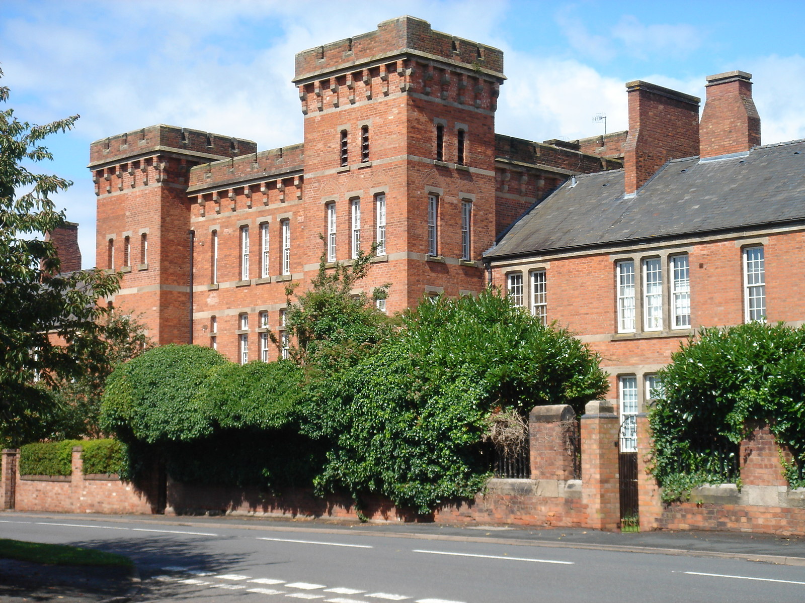
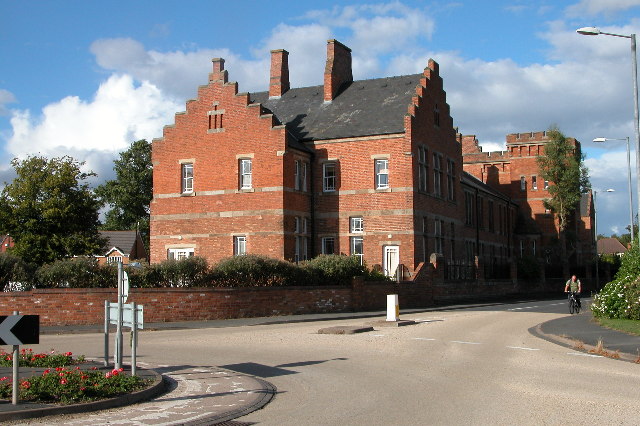
Norton Barracks
Norton Barracks is a military installation in Norton, Worcestershire. The keep is a Grade II listed building. == History == The barracks were built in...

Norton Halt railway station
Norton Halt railway station was a station in Norton, Worcestershire, England. The station was opened in 1879 and closed in 1966. == References == ��2...

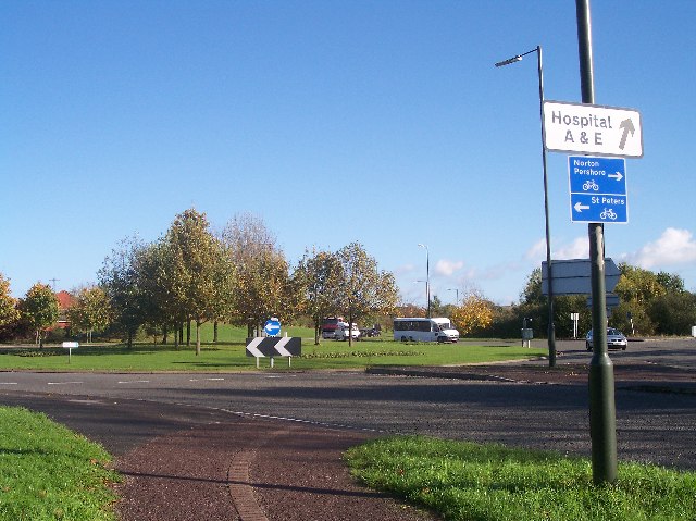
Red Hill, Worcester
Red Hill is an area of Worcester, Worcestershire, England. It is in the south-east of the city on the A44. It has historically been used as high ground...

St Peter the Great, Worcester
St Peter's is a suburb in the civil parish of St. Peters, in the city of Worcester, in the county of Worcestershire, England. It lies south of the city...
Worcester Sixth Form College
Worcester Sixth Form College is a 16-19 Academy in Worcester, England. It is located in the south-east of the city and was founded on the site of the former...
Nearby Amenities
Located within 500m of 52.168756,-2.1851607Have you been to Crookbarrow Hill?
Leave your review of Crookbarrow Hill below (or comments, questions and feedback).