Birnie Brae

Hill, Mountain in Northumberland

England

Birnie Brae

Score Head View of the broad ridge below Score Head taken from the faint quad track above Yearning Cleuch. View in the distance is of Auchope Cairn.
Score Head Credit: Steve Revell

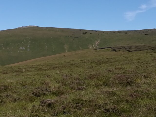
Birnie Brae is a prominent hill located in the county of Northumberland, England. Situated in the northern part of the county, it forms part of the stunning landscape of the North Pennines Area of Outstanding Natural Beauty. With an elevation of approximately 510 meters (1,673 feet), it is considered one of the notable peaks in the region.

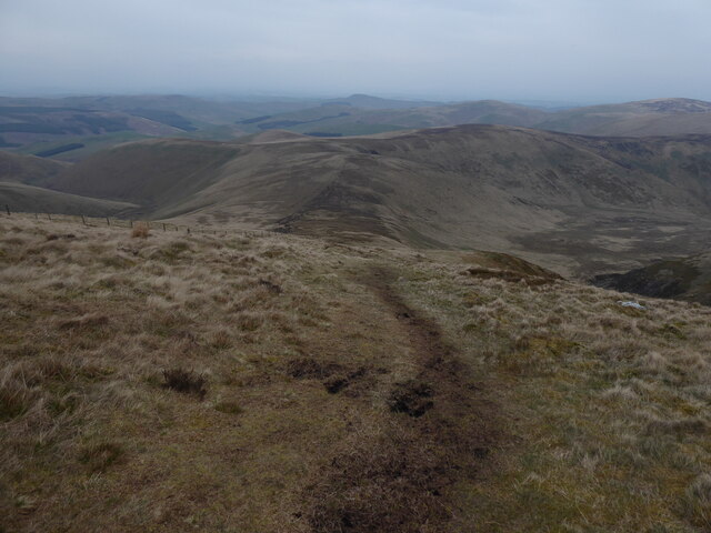
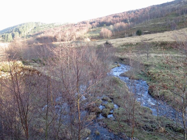
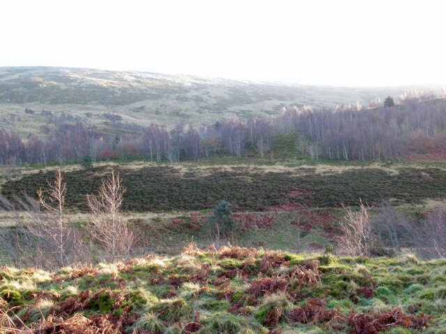
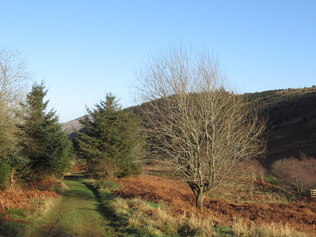
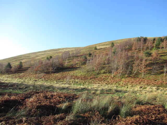
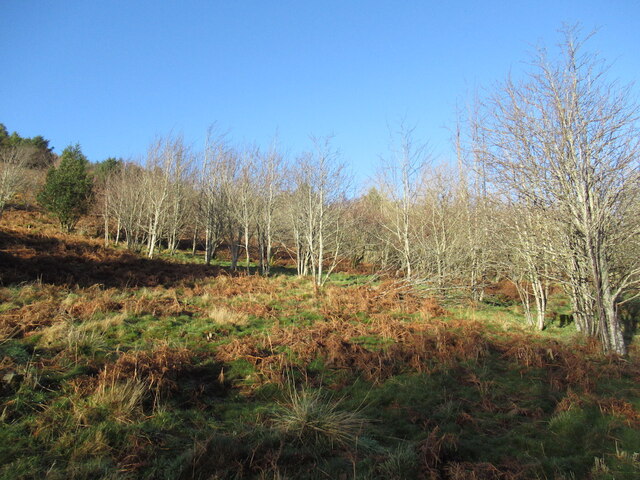
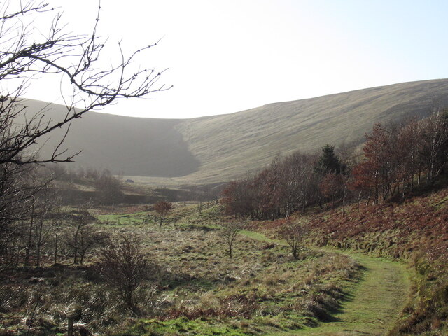
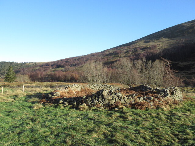
The hill is characterized by its gently rolling slopes and is predominantly covered in heather and grasses, giving it a picturesque appearance, especially during the summer months when the heather blooms into a vibrant purple hue. The summit offers breathtaking panoramic views of the surrounding countryside, including the nearby Cheviot Hills to the north and the Tyne Valley to the south.

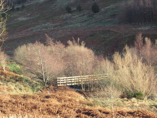
Birnie Brae is a popular destination for outdoor enthusiasts, particularly hikers and walkers, who are attracted to its tranquil beauty and challenging terrain. There are several well-marked trails that lead to the summit, providing visitors with a range of options to explore and enjoy the hill.

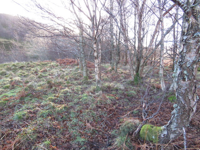
The area surrounding Birnie Brae is also rich in wildlife, with a variety of bird species, including raptors such as buzzards and kestrels, often seen soaring above the hill. Additionally, the hill is home to a diverse range of plant species, including rare mosses and lichens.

Overall, Birnie Brae is a must-visit destination for nature lovers and those seeking to immerse themselves in the natural beauty of Northumberland. Its stunning vistas, diverse flora and fauna, and tranquil atmosphere make it a truly captivating hill in the region.

If you have any feedback on the listing, please let us know in the comments section below.

Birnie Brae Images

Images are sourced within 2km of 55.479387/-2.2040847 or Grid Reference NT8720. Thanks to Geograph Open Source API. All images are credited.

Score Head View of the broad ridge below Score Head taken from the faint quad track above Yearning Cleuch. View in the distance is of Auchope Cairn.
Score Head
View of the broad ridge below Score Head taken from the faint quad track above Yearning Cleuch. View in the distance is of Auchope Cairn.
The Pennine Way near Hen Hole
College Burn In an area of young and thriving native woodland.  Erosion scars from flood events are rapidly stabilised by self seeded alder.
College Burn
In an area of young and thriving native woodland. Erosion scars from flood events are rapidly stabilised by self seeded alder.
Woodland, College Burn A young native woodland upstream of Mounthooly.
Woodland, College Burn
A young native woodland upstream of Mounthooly.
Track, Mounthooly The track to Mounthooly from the head of the College Valley passes through a thriving native woodland,
Track, Mounthooly
The track to Mounthooly from the head of the College Valley passes through a thriving native woodland,
Bridge over the College Burn A recently built bridge upstream of Mounthooly.
Bridge over the College Burn
A recently built bridge upstream of Mounthooly.
Young woodland, College Valley In one of the native woodlands in the College Valley.
Young woodland, College Valley
In one of the native woodlands in the College Valley.
Young woodland, College Valley One of the native woodlands in the College Valley.
Young woodland, College Valley
One of the native woodlands in the College Valley.
Woodland, College Valley In one of the native woodlands in the College Valley.
Woodland, College Valley
In one of the native woodlands in the College Valley.
Head of the College Valley Looking south towards the Border Ridge.
Head of the College Valley
Looking south towards the Border Ridge.
Ruined stell, College Valley
Hut, College Valley One of two semi derelict huts beneath the eastern slopes of The Cheviot.
Hut, College Valley
One of two semi derelict huts beneath the eastern slopes of The Cheviot.
Path beside the College Burn
Smeddom Sike Ridges suggest a failed woodland plantation.
Smeddom Sike
Ridges suggest a failed woodland plantation.
The Schil View from the upper College Valley.
The Schil
View from the upper College Valley.
Ridges, Smeddom Syke Looks like a failed coniferous woodland.
Ridges, Smeddom Syke
Looks like a failed coniferous woodland.
Head of the College Valley Slopes of The Cheviot as the glen sweeps round towards the Hen Hole.
Head of the College Valley
Slopes of The Cheviot as the glen sweeps round towards the Hen Hole.
Head of the College Valley Bog with a backdrop of the Border ridge. The Pennine Way is up there.
Head of the College Valley
Bog with a backdrop of the Border ridge. The Pennine Way is up there.
Show me another place!

Birnie Brae is located at Grid Ref: NT8720 (Lat: 55.479387, Lng: -2.2040847)

Unitary Authority: Northumberland

Police Authority: Northumbria

What 3 Words

///ruler.expectant.shuttle. Near Kirknewton, Northumberland

Nearby Locations

Birnie Brae

Related Wikis

Cheviot Hills

The Cheviot Hills (), or sometimes The Cheviots, are a range of uplands straddling the Anglo-Scottish border between Northumberland and the Scottish Borders...

The Cheviot

The Cheviot () is an extinct volcano and the highest summit in the Cheviot Hills and in the county of Northumberland. Located in the extreme north of England...

Windy Gyle

Windy Gyle is a mountain in the Cheviot Hills range, on the border between England and Scotland. Like the other hills in the area, it is rounded and grass...

Mowhaugh

Mowhaugh is a hamlet and farm steading near the Calroust Burn and the Bowmont Water, near Morebattle, in the Scottish Borders area of Scotland, and in...

Nearby Amenities

Located within 500m of 55.479387,-2.2040847
The data included in this document is from www.openstreetmap.org. The data is made available under ODbL.

Have you been to Birnie Brae?

Leave your review of Birnie Brae below (or comments, questions and feedback).