Berry Hillock

Hill, Mountain in Aberdeenshire

Scotland

Berry Hillock

Pitmedden monument The monument was erected in 1898 by the Thomson family to commemorate the fiftieth anniversary of Queen Victoria's first visit to Aberdeen.  For more details, see Canmore listing 132952: <span class="nowrap"><a title="https://canmore.org.uk/site/132952/pitmedden-house-monument" rel="nofollow ugc noopener" href="https://canmore.org.uk/site/132952/pitmedden-house-monument">Link</a><img style="margin-left:2px;" alt="External link" title="External link - shift click to open in new window" src="https://s1.geograph.org.uk/img/external.png" width="10" height="10"/></span> .  Compare the 'tappie tower' in Kirkhill Forest about 2 km to the south west: <a title="https://www.geograph.org.uk/photo/6320691" href="https://www.geograph.org.uk/photo/6320691">Link</a> .
Pitmedden monument Credit: Bill Harrison

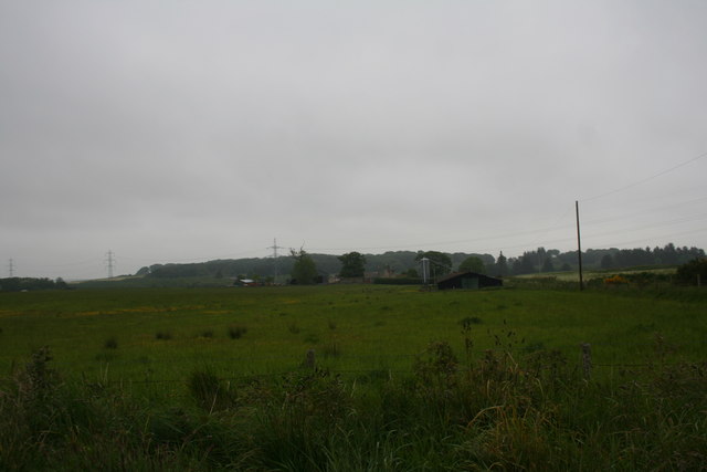
Berry Hillock is a prominent hill located in Aberdeenshire, Scotland. Standing at an elevation of approximately 521 meters (1,709 feet), it is considered one of the notable peaks in the region. The hill is situated near the charming village of Edzell, southeast of the Cairngorms National Park.

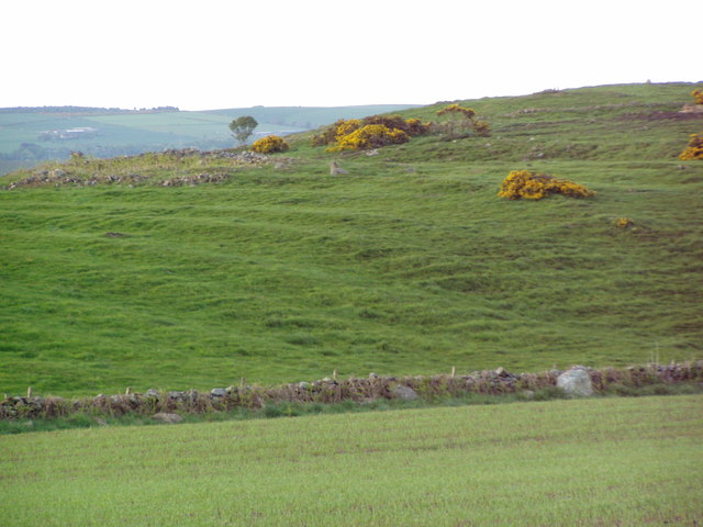
Offering breathtaking panoramic views, Berry Hillock is a popular destination for hikers, climbers, and nature enthusiasts. Its unique geological formation, characterized by rugged, rocky terrain, makes it an attractive challenge for outdoor adventurers. The hill is covered in heather, giving it a distinct purple hue during the summer months.

The ascent of Berry Hillock is relatively moderate, with well-defined paths leading to the summit. As one climbs higher, the landscape becomes increasingly picturesque, revealing stunning vistas of the surrounding countryside. On clear days, it is possible to spot other prominent landmarks, such as the Grampian Mountains and the North Sea coastline.

In addition to its natural beauty, Berry Hillock is also home to a diverse range of flora and fauna. The hill provides a habitat for various bird species, including peregrine falcons, red grouse, and skylarks. Additionally, the surrounding area is known for its rich biodiversity, with wildflowers and native plants adorning the landscape.

Overall, Berry Hillock offers an unforgettable outdoor experience for those seeking to explore the natural wonders of Aberdeenshire. Its striking beauty, challenging trails, and abundant wildlife make it a must-visit destination for nature enthusiasts and avid adventurers alike.

If you have any feedback on the listing, please let us know in the comments section below.

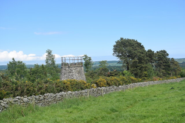
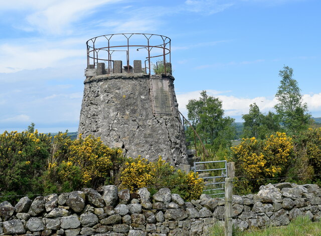
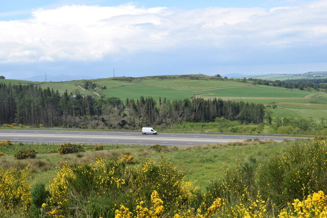
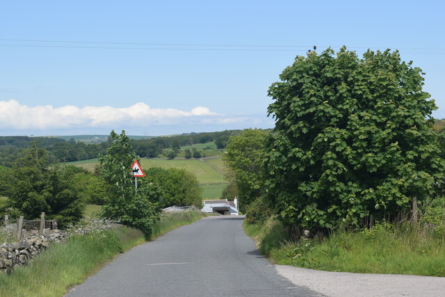
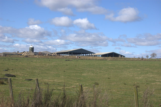
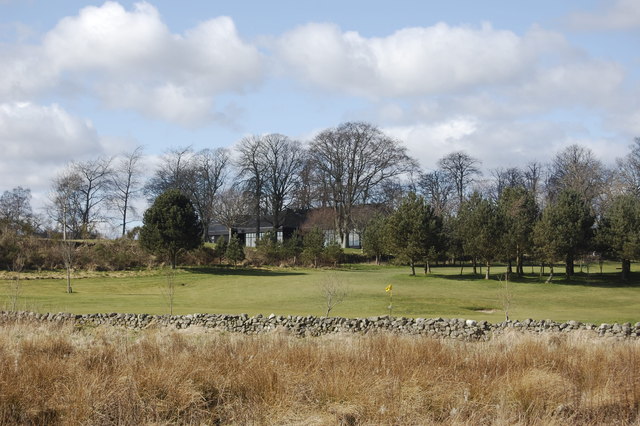
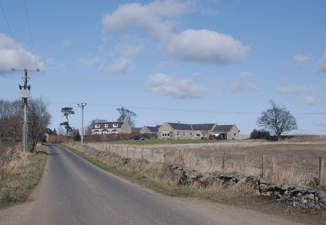
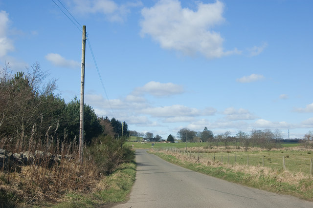
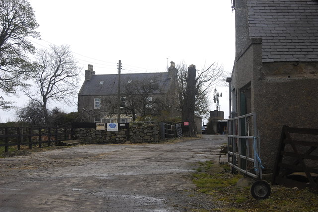
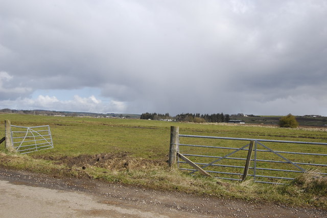
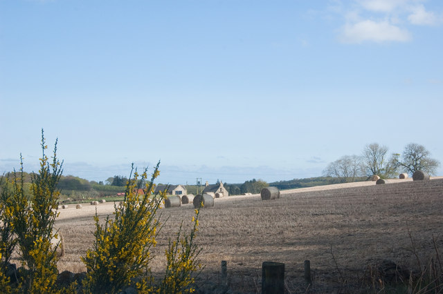
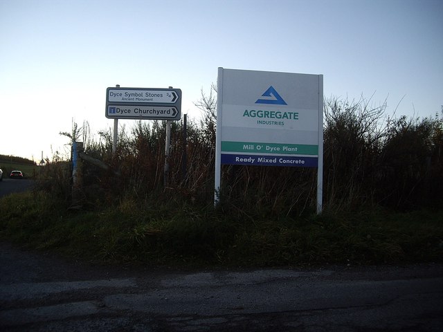
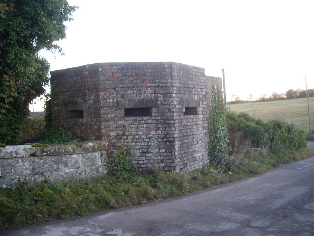
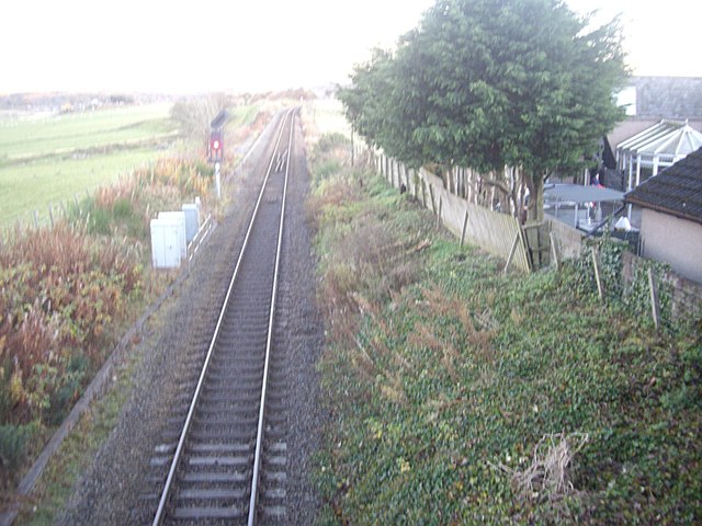
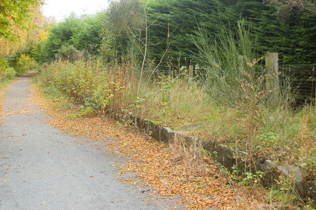
Berry Hillock Images

Images are sourced within 2km of 57.235269/-2.2176069 or Grid Reference NJ8616. Thanks to Geograph Open Source API. All images are credited.

Pitmedden monument The monument was erected in 1898 by the Thomson family to commemorate the fiftieth anniversary of Queen Victoria's first visit to Aberdeen.  For more details, see Canmore listing 132952: <span class="nowrap"><a title="https://canmore.org.uk/site/132952/pitmedden-house-monument" rel="nofollow ugc noopener" href="https://canmore.org.uk/site/132952/pitmedden-house-monument">Link</a><img style="margin-left:2px;" alt="External link" title="External link - shift click to open in new window" src="https://s1.geograph.org.uk/img/external.png" width="10" height="10"/></span> .  Compare the 'tappie tower' in Kirkhill Forest about 2 km to the south west: <a title="https://www.geograph.org.uk/photo/6320691" href="https://www.geograph.org.uk/photo/6320691">Link</a> .
Pitmedden monument
The monument was erected in 1898 by the Thomson family to commemorate the fiftieth anniversary of Queen Victoria's first visit to Aberdeen. For more details, see Canmore listing 132952: LinkExternal link . Compare the 'tappie tower' in Kirkhill Forest about 2 km to the south west: Link .
Pitmedden monument (close up) The eroded tablet on the monument reads: Erected on the 50th anniversary of Queen Victoria's first visit to Aberdeen when she was received by George Thomson junior, Esq, The Lord Provost and afterwards MP for Aberdeen. Erected by Mr and Mrs George Thomson, Yost. Pitmedden 8th September 1898'.  Above the inscription is a  representation of a sailing ship and the Latin motto 'Per Perigulum Vivo', which can, I think, be translated as 'I live by taking risks'.
Pitmedden monument (close up)
The eroded tablet on the monument reads: Erected on the 50th anniversary of Queen Victoria's first visit to Aberdeen when she was received by George Thomson junior, Esq, The Lord Provost and afterwards MP for Aberdeen. Erected by Mr and Mrs George Thomson, Yost. Pitmedden 8th September 1898'. Above the inscription is a representation of a sailing ship and the Latin motto 'Per Perigulum Vivo', which can, I think, be translated as 'I live by taking risks'.
Lone van on the AWPR
Single-track road in the Aberdeenshire countryside
Farburn Farm A small farm between Hatton of Fintray and Newmachar.
Farburn Farm
A small farm between Hatton of Fintray and Newmachar.
Rig and furrow
Rig and furrow
Pill box near Dyce airport
Nether Kirkton Farm
Nether Kirkton Farm
Goval Farm This sprawling farm has two huge open-sided barns, with the right-hand one containing straw bales.
Goval Farm
This sprawling farm has two huge open-sided barns, with the right-hand one containing straw bales.
Clubhouse, Newmachar Golf Club
Swailend Steadings A typical Aberdeenshire scene: a single-track road edged with a dry stane dyke (dry stone wall) passing a steading, converted from granite farm outbuildings.
Swailend Steadings
A typical Aberdeenshire scene: a single-track road edged with a dry stane dyke (dry stone wall) passing a steading, converted from granite farm outbuildings.
End of the road Just visible in the distance is the give-way sign protecting the junction with the B979
End of the road
Just visible in the distance is the give-way sign protecting the junction with the B979
Highlands Farm The blue and white sign indicates that the farm supplies accredited Scotch beef.
Highlands Farm
The blue and white sign indicates that the farm supplies accredited Scotch beef.
Gate and fields The farmer will need to fix the gate before cattle are able to graze...
Gate and fields
The farmer will need to fix the gate before cattle are able to graze...
Farburn Farm
Farburn Farm
Junction for Dyce graveyard and a gravel pit works
WW2 pillbox structure By a bridge over the Aberdeen to Inverness railway.
WW2 pillbox structure
By a bridge over the Aberdeen to Inverness railway.
A single track stretch of railway near Dyce Part of the mainline (!) between Inverness and Aberdeen seen from the road bridge to St Fergus Church. The linear feature converging on the railway from the left is a relic of a former canal.
A single track stretch of railway near Dyce
Part of the mainline (!) between Inverness and Aberdeen seen from the road bridge to St Fergus Church. The linear feature converging on the railway from the left is a relic of a former canal.
Show me another place!

Berry Hillock is located at Grid Ref: NJ8616 (Lat: 57.235269, Lng: -2.2176069)

Unitary Authority: Aberdeenshire

Police Authority: North East

What 3 Words

///reflector.squeaks.alive. Near Newmacher, Aberdeenshire

Nearby Locations

Berry Hillock

Related Wikis

Dyce stones

The Dyce stones are a collection of Pictish and Early Medieval sculptured stones that are housed in a shelter in the ruined St Fergus's Chapel, Dyce, Aberdeen...

Pitmedden railway station

Pitmedden railway station was a railway station near Pitmedden House in Dyce, Aberdeen. == Previous services == == References == === Notes === === Sources... ===

Fintray Hillclimb

Fintray House Hillclimb is a speed motorsport event held near Hatton of Fintray, in Aberdeenshire, Scotland. Each event is a separate round of the Scottish...
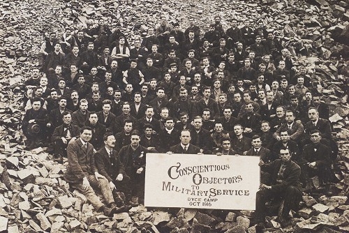
Dyce Work Camp

Dyce Work Camp was set up in August 1916 at quarries north-west of Aberdeen, Scotland, to accommodate conscientious objectors who had been in prison for...

Parkhill railway station

Parkhill railway station was a railway station in Parkhill, Aberdeenshire. == History == The station was opened on 18 July 1861 by the Formartine and Buchan...

Dyce F.C.

Dyce Football Club (formerly Dyce Juniors Football Club) are a Scottish football club from Dyce, a suburb of Aberdeen. Members of the Scottish Junior...

Hatton of Fintray

Hatton of Fintray, commonly referred to as Fintray, is a village on the River Don in Aberdeenshire, Scotland, in the parish of Fintray. It was a textile...

Dyce railway station

Dyce railway station is a railway station serving the suburb of Dyce, Aberdeen, Scotland. The station is managed by ScotRail and is on the Aberdeen to...

Nearby Amenities

Located within 500m of 57.235269,-2.2176069
Telephone
Booth: K6
Covered: booth
Man Made: telephone_box
Lat/Long: 57.2327901/-2.2124197
Post Box
Post Box Type: wall
Royal Cypher: GR
Royal Cypher Wikidata: Q33102273
Lat/Long: 57.2327915/-2.2124503
Rosevalley
Alt Name: Rosevally
Place: hamlet
Lat/Long: 57.2362511/-2.2106053
Power: pole
Lat/Long: 57.2360748/-2.2253463
Power: pole
Lat/Long: 57.2364519/-2.2241101
Power: pole
Lat/Long: 57.2364967/-2.2233364
Power: pole
Lat/Long: 57.2370925/-2.2229143
Power: pole
Lat/Long: 57.2375866/-2.2225709
Power: pole
Lat/Long: 57.2315172/-2.2132802
Power: pole
Lat/Long: 57.2315478/-2.2142396
Power: pole
Lat/Long: 57.2315751/-2.2152718
Power: pole
Lat/Long: 57.231609/-2.2164919
Power: pole
Lat/Long: 57.2316298/-2.2173382
Power: pole
Lat/Long: 57.231656/-2.2181826
Power: pole
Lat/Long: 57.2316823/-2.2190814
Power: pole
Lat/Long: 57.2317107/-2.2199843
Power: pole
Lat/Long: 57.2317271/-2.2207863
Power: pole
Lat/Long: 57.23175/-2.2216185
Power: pole
Lat/Long: 57.232207/-2.2226648
Power: pole
Lat/Long: 57.2326389/-2.2236687
Power: pole
Lat/Long: 57.2331046/-2.2247029
Power: pole
Lat/Long: 57.2371865/-2.21012
Power: pole
Lat/Long: 57.2364967/-2.210625
Power: pole
Lat/Long: 57.2358223/-2.211132
Power: pole
Lat/Long: 57.2353686/-2.2114673
Power: pole
Lat/Long: 57.2346088/-2.2120127
Power: pole
Lat/Long: 57.2341169/-2.2123641
Power: pole
Lat/Long: 57.2335025/-2.2128267
Power: pole
Lat/Long: 57.2327252/-2.2133862
Power: pole
Lat/Long: 57.232242/-2.2137296
Power: pole
Lat/Long: 57.2363612/-2.2239242
Power: pole
Lat/Long: 57.2361032/-2.2236313
Power: pole
Lat/Long: 57.2328274/-2.2216326
Power: pole
Lat/Long: 57.2329647/-2.2208933
Power: pole
Lat/Long: 57.233133/-2.2199722
Power: pole
Lat/Long: 57.233309/-2.2190107
Power: pole
Lat/Long: 57.2333506/-2.2189734
Power: pole
Lat/Long: 57.2335987/-2.2187249
Power: pole
Lat/Long: 57.2339529/-2.2183967
Power: pole
Lat/Long: 57.2337091/-2.2196288
Power: pole
Lat/Long: 57.2338496/-2.2206984
Power: pole
Lat/Long: 57.2339562/-2.221572
Power: pole
Lat/Long: 57.2326574/-2.2191037
Power: pole
Lat/Long: 57.2322355/-2.2191582
The data included in this document is from www.openstreetmap.org. The data is made available under ODbL.

Have you been to Berry Hillock?

Leave your review of Berry Hillock below (or comments, questions and feedback).