Floshes Hill
Hill, Mountain in Yorkshire Richmondshire
England
Floshes Hill

Floshes Hill is a prominent hill located in the county of Yorkshire, England. Standing at an elevation of approximately 373 meters (1,224 feet), it is part of the Pennines, a range of hills and mountains that traverse the northern part of England.
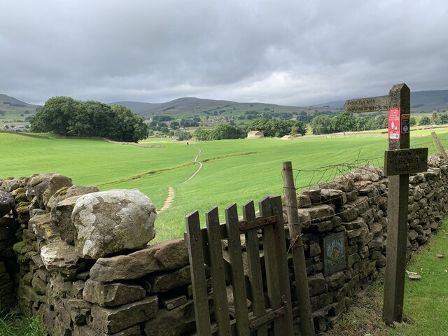
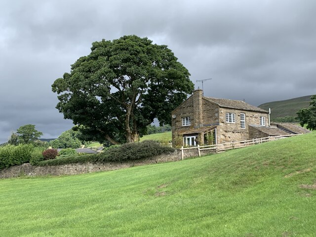
Situated in the eastern region of the Pennines, Floshes Hill offers breathtaking panoramic views of the surrounding landscape. The hill is characterized by its gentle slopes, covered in vibrant green vegetation during the warmer months, which transforms into a picturesque snowy landscape during winter.
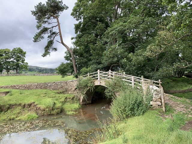
The hill is a popular destination for hikers and nature enthusiasts, offering a variety of walking trails that cater to different levels of difficulty. Many visitors are drawn to Floshes Hill for its peaceful and tranquil atmosphere, as well as its diverse wildlife. It is not uncommon to spot various species of birds, such as peregrine falcons and red grouse, as well as small mammals like hares and rabbits.
In addition to its natural beauty, Floshes Hill boasts a rich history. The area surrounding the hill is dotted with ancient settlements and burial mounds, providing evidence of human habitation dating back thousands of years. These historical sites add an extra layer of intrigue and fascination for those exploring the area.
Overall, Floshes Hill is a stunning natural landmark in Yorkshire, offering visitors a chance to immerse themselves in the beauty of the English countryside, while also connecting with its rich history.
If you have any feedback on the listing, please let us know in the comments section below.
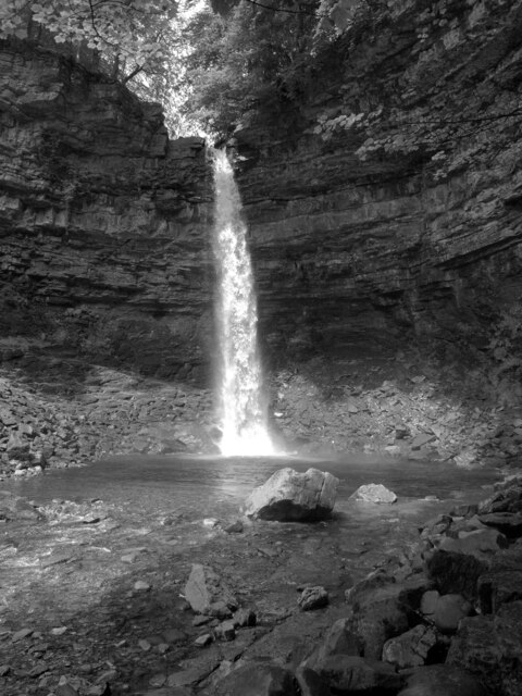
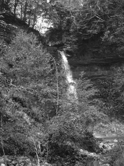
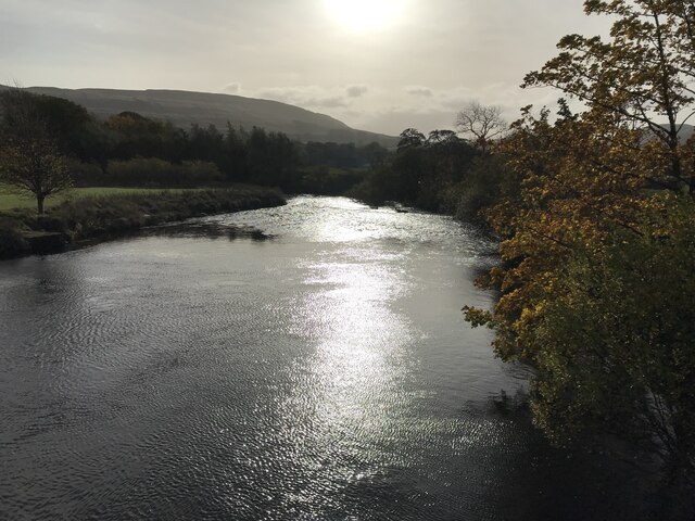
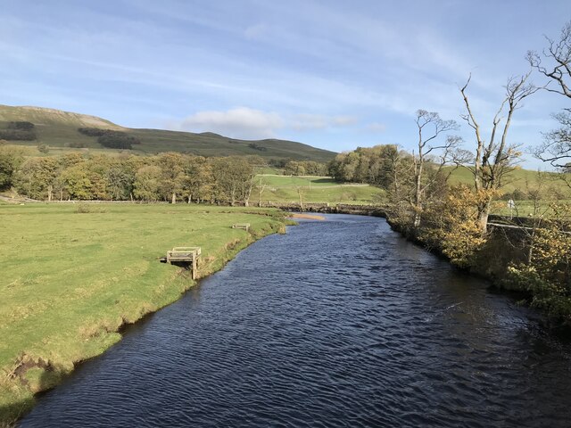
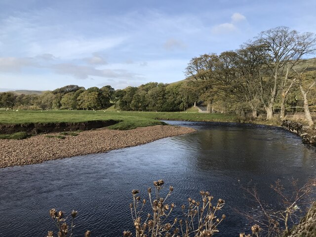
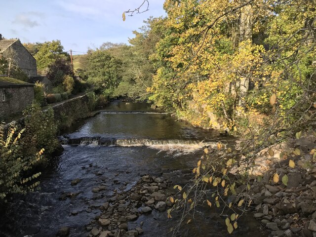
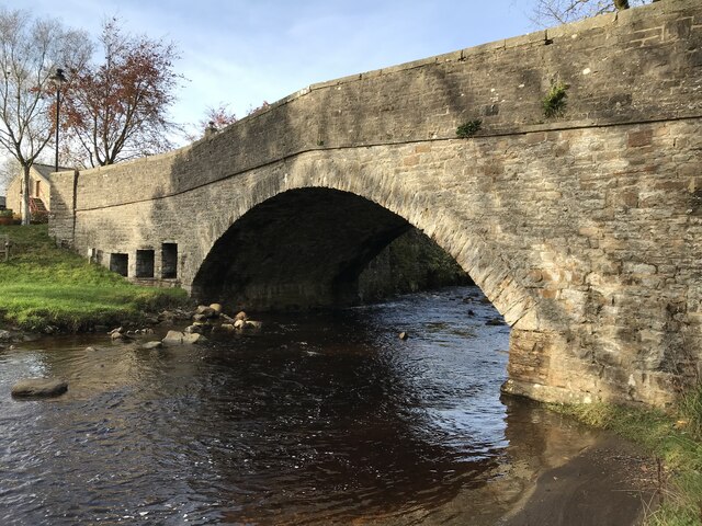
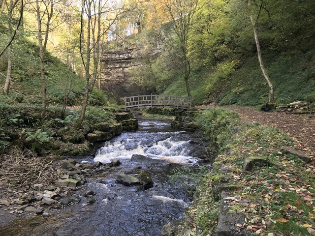
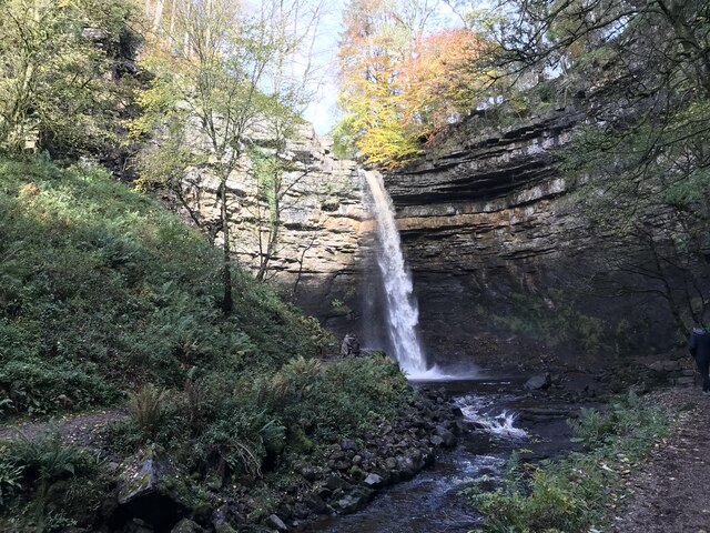
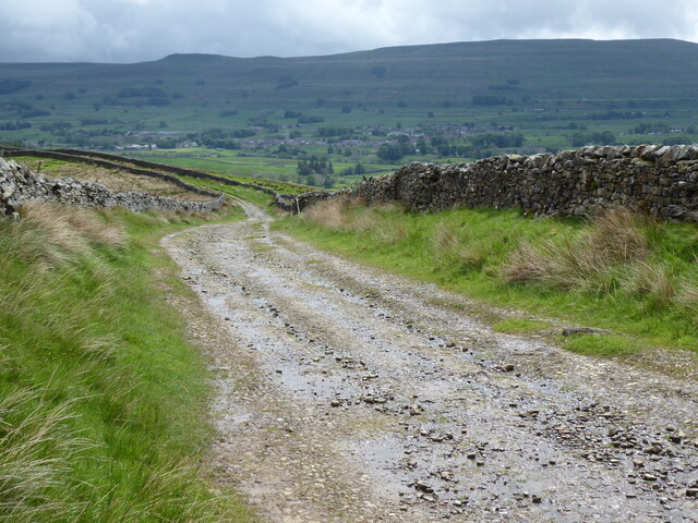
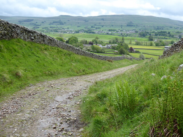
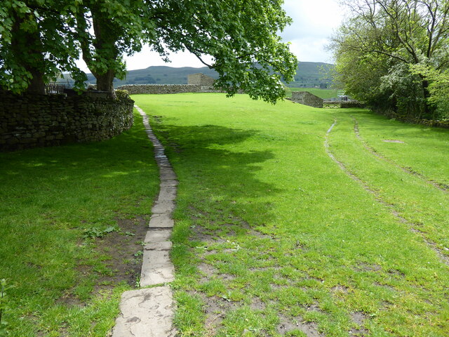
Floshes Hill Images
Images are sourced within 2km of 54.311013/-2.203111 or Grid Reference SD8690. Thanks to Geograph Open Source API. All images are credited.

Floshes Hill is located at Grid Ref: SD8690 (Lat: 54.311013, Lng: -2.203111)
Division: North Riding
Administrative County: North Yorkshire
District: Richmondshire
Police Authority: North Yorkshire
What 3 Words
///ombudsman.retaliate.originals. Near Kirkby Stephen, Cumbria
Nearby Locations
Related Wikis

Hardraw
Hardraw is a hamlet near Hawes within the Yorkshire Dales in North Yorkshire, England. It takes its name from the nearby Hardraw Force waterfall. The old...

St Mary and St John's Church, Hardraw
St Mary and St John's Church, Hardraw (also Hardrow) is a Grade II listed parish church in the Church of England: 181 in Hardraw, North Yorkshire. �...

Hawes
Hawes is a market town and civil parish in North Yorkshire, England, at the head of Wensleydale in the Yorkshire Dales, and historically in the North Riding...

Simonstone, North Yorkshire
Simonstone is a hamlet near Hawes and Hardraw Force within the Yorkshire Dales in North Yorkshire, England. == References ==

St Margaret's Church, Hawes
St Margaret's Church is a Grade II listed parish church in the Church of England: 184 in Hawes, North Yorkshire. == History == Also known as Church of...
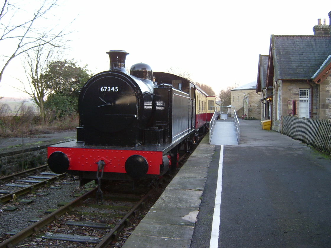
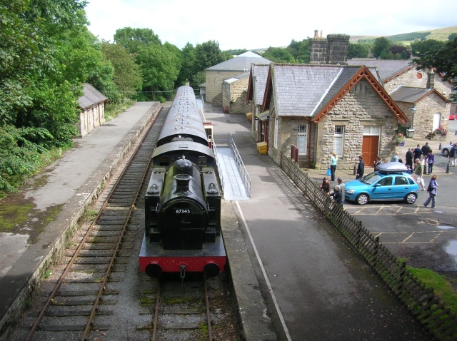
Hawes railway station
Hawes railway station is a disused railway station that served the town of Hawes in North Yorkshire, England. It was closed in 1959 and now forms part...
Dales Countryside Museum
The Dales Countryside Museum is a local museum for the Yorkshire Dales National Park in Northern England. Run by the National Park Authority, it tells...

Appersett
Appersett is a hamlet in the Yorkshire Dales in the Richmondshire district of North Yorkshire, England one mile (1.6 km) west of Hawes. It lies on the...
Related Videos

Hiking John O’ Groats to Land’s End | Daily Vlog | Day 34
Me and Di (my girlfriend) are hiking from John O' Groats to Land's End and wild camping all the way. This is a daily vlog of our ...

Motorhome. Herb Goes North Day 3. Walking Gayle to Asygill Force.
Short circular walk to Asygill Force "15metre drop waterfall" and a visit to the White Hart Inn for a pint of Beer.
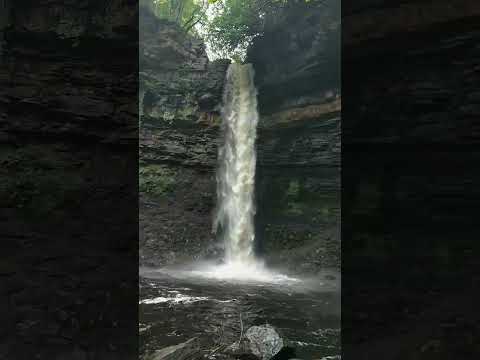
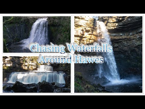
Chasing Waterfalls Around Hawes
An early January visit to Hawes, the market town of Upper Wensleydale in Richmonshire, North Yorkshire, with the intentions of ...
Nearby Amenities
Located within 500m of 54.311013,-2.203111Have you been to Floshes Hill?
Leave your review of Floshes Hill below (or comments, questions and feedback).