Cock Law
Hill, Mountain in Roxburghshire
Scotland
Cock Law
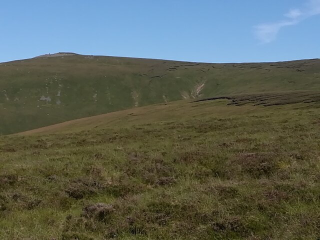
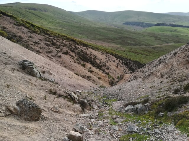
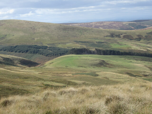
Cock Law is a prominent hill located in Roxburghshire, a historic county in the Scottish Borders region of Scotland. Rising to a height of approximately 377 meters (1,237 feet), it forms part of the rolling Southern Uplands and offers breathtaking panoramic views of the surrounding countryside.
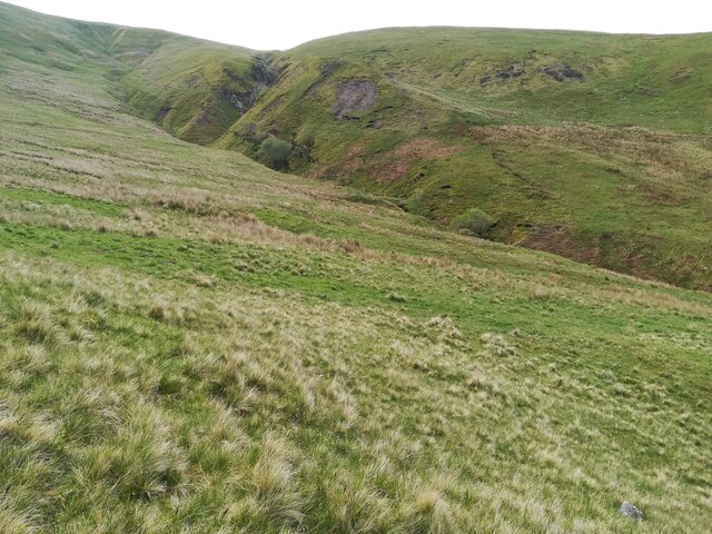
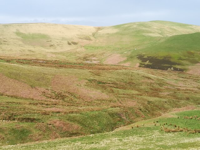
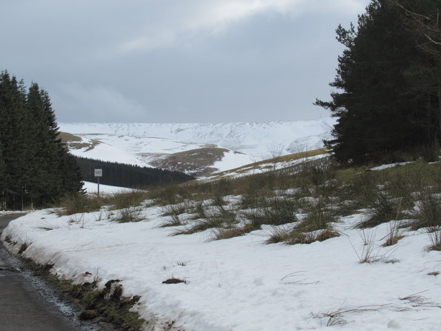
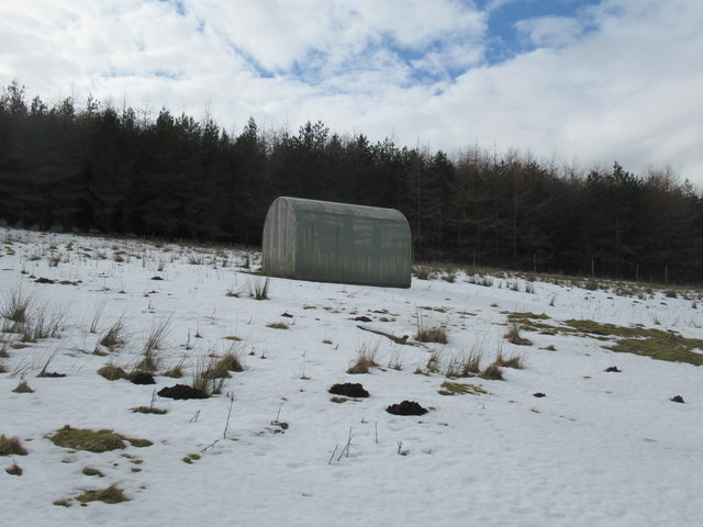
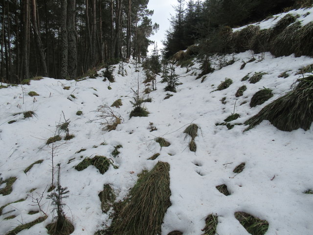
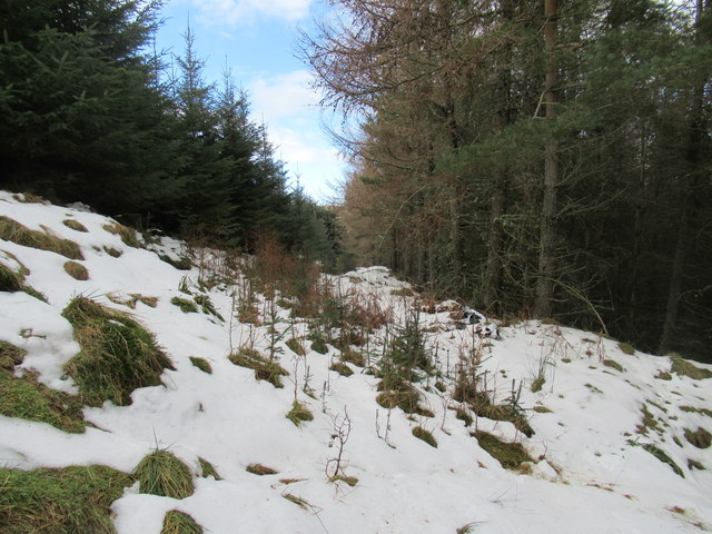
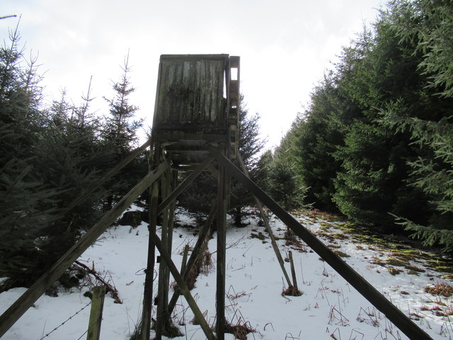
Situated near the village of Westruther, Cock Law is a popular destination for outdoor enthusiasts and nature lovers. The hill boasts a diverse array of flora and fauna, including heather moorland, grassy slopes, and scattered woodlands, providing a haven for a wide variety of wildlife. It is not uncommon to spot red grouse, hares, and various bird species such as the kestrel and buzzard while exploring the area.
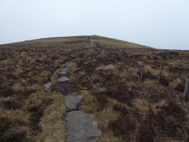
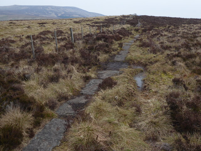
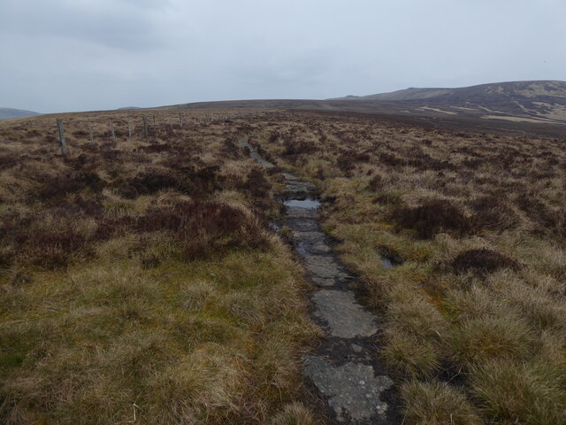
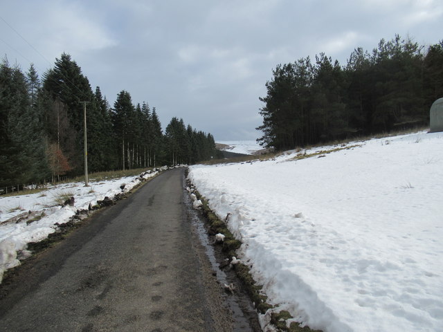
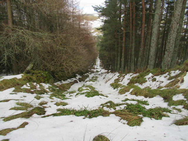
Cock Law is easily accessible, with a well-marked footpath leading to the summit. The trail is suitable for both experienced hikers and beginners, offering a moderate challenge. Along the way, visitors can enjoy the tranquil beauty of the Scottish countryside, with its rolling hills and patchwork fields.
At the top of Cock Law, hikers are rewarded with magnificent views stretching across the surrounding valleys and hills, including the nearby Lammermuir Hills and Cheviot Hills. On a clear day, it is possible to see as far as the Northumberland coast.
Cock Law is a hidden gem in Roxburghshire, offering a peaceful retreat and an opportunity to immerse oneself in the natural beauty of Scotland's Southern Uplands.
If you have any feedback on the listing, please let us know in the comments section below.
Cock Law Images
Images are sourced within 2km of 55.451913/-2.2177452 or Grid Reference NT8617. Thanks to Geograph Open Source API. All images are credited.


Cock Law is located at Grid Ref: NT8617 (Lat: 55.451913, Lng: -2.2177452)
Unitary Authority: The Scottish Borders
Police Authority: The Lothians and Scottish Borders
What 3 Words
///defends.terribly.earmarked. Near Kirknewton, Northumberland
Nearby Locations
Related Wikis

Windy Gyle
Windy Gyle is a mountain in the Cheviot Hills range, on the border between England and Scotland. Like the other hills in the area, it is rounded and grass...

Cheviot Hills
The Cheviot Hills (), or sometimes The Cheviots, are a range of uplands straddling the Anglo-Scottish border between Northumberland and the Scottish Borders...

The Cheviot
The Cheviot () is an extinct volcano and the highest summit in the Cheviot Hills and in the county of Northumberland. Located in the extreme north of England...

Mowhaugh
Mowhaugh is a hamlet and farm steading near the Calroust Burn and the Bowmont Water, near Morebattle, in the Scottish Borders area of Scotland, and in...

Barrow Burn Meadows
Barrow Burn Meadows is a Site of Special Scientific Interest (SSSI) in north Northumberland, England. The site is a species-rich hay meadow of a sort now...

Barrow Burn
Barrowburn is a hamlet in Upper Coquetdale in the county of Northumberland, England. It comprises a working farm with associated buildings and two holiday...
Kidland
Kidland is a former civil parish, now in the parish of Alwinton in Northumberland, England, about 2 miles (3 km) northwest of Alwinton village. In 1951...

Shillhope Law
Shillhope Law is a hill in the southern Cheviots, a range of hills in Northumberland, England. Shillhope Law is a relatively unremarkable member of this...
Nearby Amenities
Located within 500m of 55.451913,-2.2177452Have you been to Cock Law?
Leave your review of Cock Law below (or comments, questions and feedback).