Aynhams Hill
Hill, Mountain in Yorkshire Pendle
England
Aynhams Hill
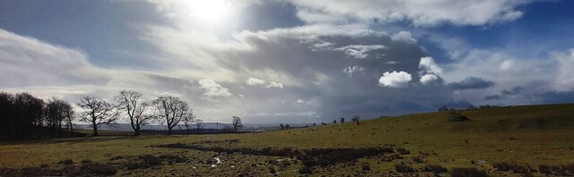
Aynhams Hill is a prominent natural feature located in the county of Yorkshire, England. Situated in the stunning landscape of the Yorkshire Dales, it is classified as a hill rather than a mountain, standing at an elevation of approximately 450 meters (1476 feet) above sea level. The hill is part of the larger Pennines range, which stretches across northern England.
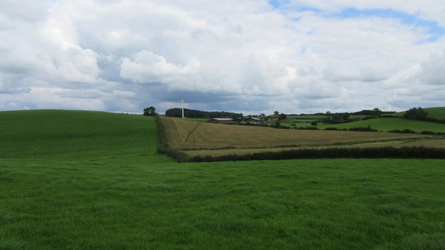
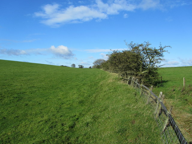
Aynhams Hill offers breathtaking panoramic views of the surrounding countryside, including lush valleys, rolling hills, and picturesque villages. Its location within the Yorkshire Dales National Park makes it a popular destination for outdoor enthusiasts and nature lovers alike. Hikers, walkers, and cyclists frequently visit the area to explore the numerous trails and paths that wind their way through the hill's slopes.
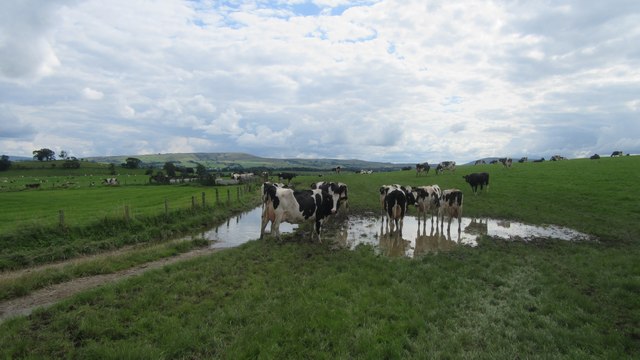
The hill itself is characterized by its gentle slopes and rocky outcrops, providing a diverse habitat for a variety of plant and animal species. The surrounding area is known for its rich biodiversity, with an abundance of flora and fauna, including heather, grasses, and wildflowers, as well as birds such as skylarks and curlews.
Aynhams Hill holds historical significance as well, with ancient settlements and archaeological sites scattered across its slopes. These remnants of human habitation provide a glimpse into the area's past, offering valuable insights into the lives and cultures of the people who once called this hillside home.
Overall, Aynhams Hill in Yorkshire is a captivating natural landmark, offering visitors an opportunity to immerse themselves in the beauty of the Yorkshire Dales while exploring its history and diverse ecosystem.
If you have any feedback on the listing, please let us know in the comments section below.
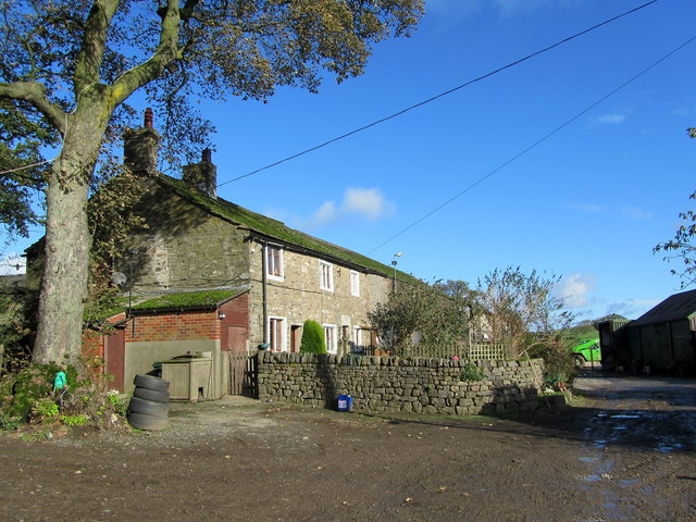
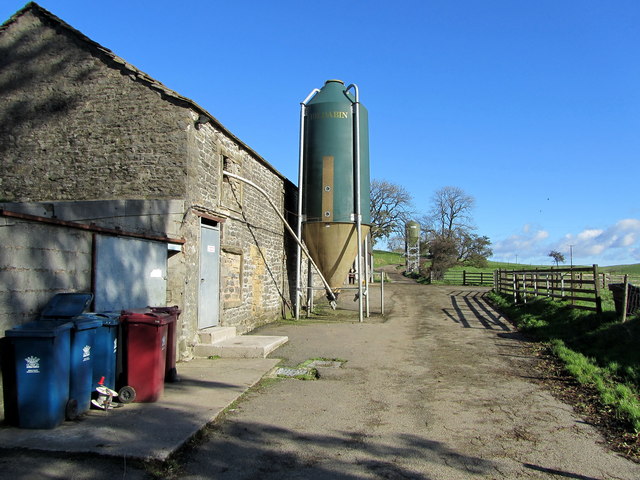
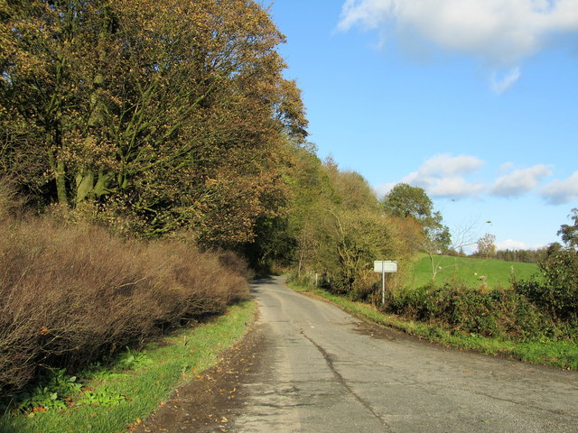
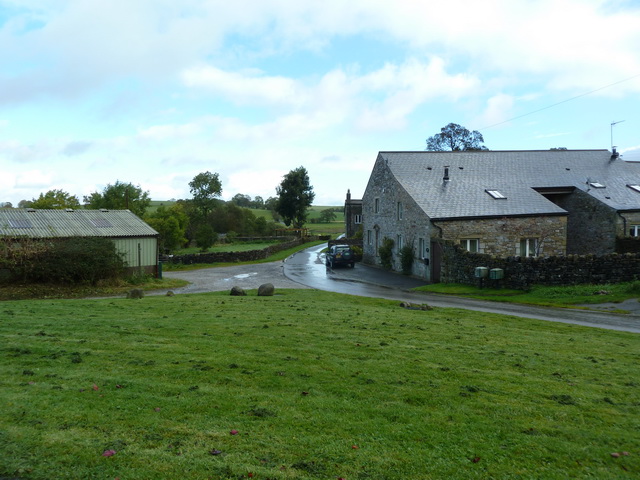
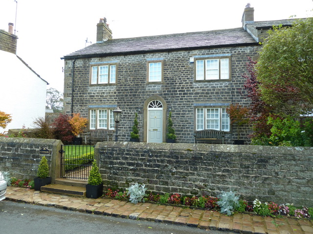
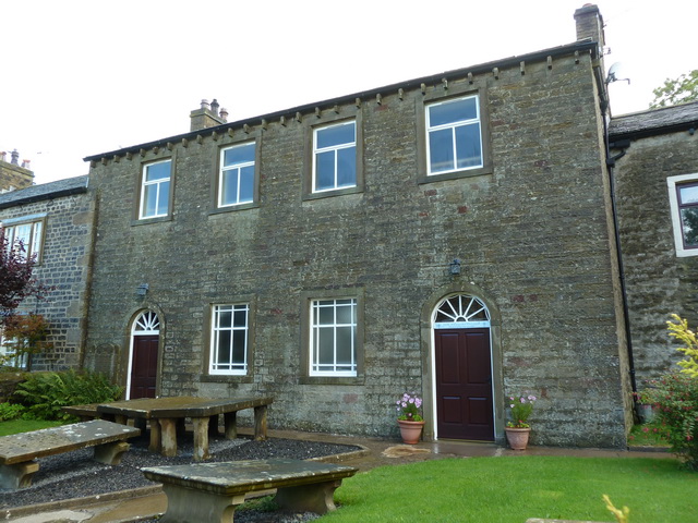
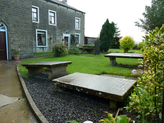
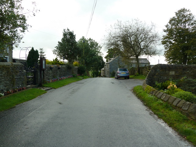
Aynhams Hill Images
Images are sourced within 2km of 53.942172/-2.2108188 or Grid Reference SD8649. Thanks to Geograph Open Source API. All images are credited.


Aynhams Hill is located at Grid Ref: SD8649 (Lat: 53.942172, Lng: -2.2108188)
Division: West Riding
Administrative County: Lancashire
District: Pendle
Police Authority: Lancashire
What 3 Words
///stocky.expecting.valid. Near Barnoldswick, Lancashire
Nearby Locations
Related Wikis

A59 road
The A59 is a major road in England which is around 109 miles (175 km) long and runs from Wallasey, Merseyside to York, North Yorkshire. The alignment formed...

Horton, Lancashire
Horton, historically known as Horton-in-Craven, is a village and a civil parish in the Ribble Valley district of the English county of Lancashire (historically...

St Michael's Church, Bracewell
St Michael's Church is in Bracewell Lane, Bracewell, Lancashire, England. It is an active Anglican parish church in the deanery of Skipton, the archdeaconry...

Bracewell and Brogden
Bracewell and Brogden is a civil parish in the West Craven area of the Borough of Pendle in Lancashire, England. According to the 2001 census it had a...

Barnoldswick Town F.C.
Barnoldswick Town Football Club is a football club based in Barnoldswick, Lancashire, England. They are currently members of the North West Counties League...
West Craven
West Craven is an area in the east of Lancashire, England in the far northern part of the borough of Pendle. Historically the area was within the ancient...

Newsholme, Lancashire
Newsholme is a small village and civil parish in the Ribble Valley, Lancashire, England, but lies within the historic West Riding of Yorkshire. According...

Newsholme railway station
Newsholme railway station was a railway station that served the small village of Newsholme in Lancashire. It was built by the Lancashire and Yorkshire...
Nearby Amenities
Located within 500m of 53.942172,-2.2108188Have you been to Aynhams Hill?
Leave your review of Aynhams Hill below (or comments, questions and feedback).