Brackmuir Hill
Hill, Mountain in Kincardineshire
Scotland
Brackmuir Hill

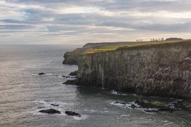
Brackmuir Hill is a prominent geographical feature located in the region of Kincardineshire, Scotland. It is classified as a hill and stands at an elevation of approximately 312 meters (1,024 feet) above sea level. The hill is situated within the stunning Scottish countryside, offering breathtaking panoramic views of the surrounding landscape.
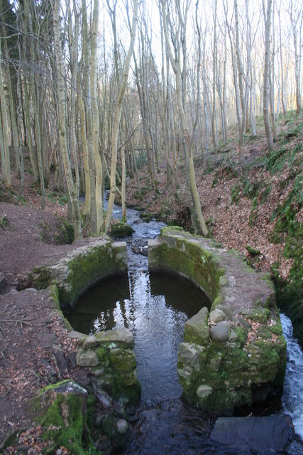
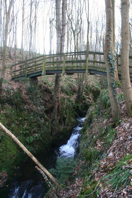
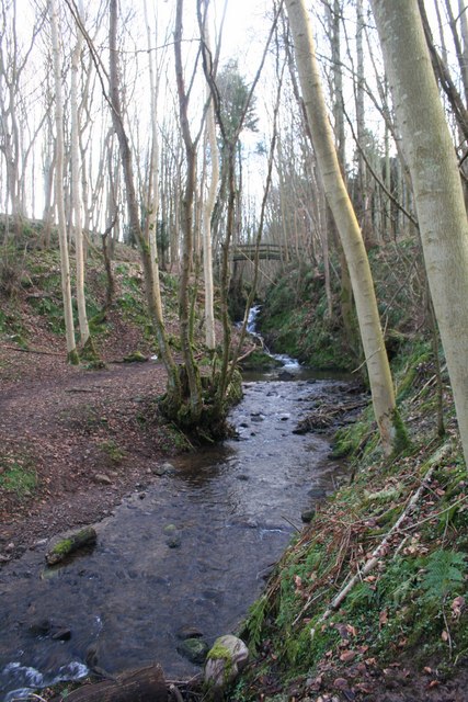
Covered in lush green vegetation, Brackmuir Hill is a haven for nature enthusiasts and hikers. Its slopes are predominantly grassy, with scattered patches of heather and shrubs. The hill's terrain is relatively gentle, making it accessible for walkers of varying abilities.
One of the notable features of Brackmuir Hill is the presence of several ancient burial cairns, which date back to the Neolithic and Bronze Age periods. These burial sites serve as a testament to the rich historical heritage of the area, providing insights into the lives and customs of past civilizations.
The summit of Brackmuir Hill offers a commanding view of the surrounding countryside, including nearby towns and villages such as Stonehaven and Montrose. On clear days, it is even possible to catch glimpses of the North Sea shimmering in the distance.
Brackmuir Hill is a popular destination for outdoor activities such as hillwalking, birdwatching, and photography. Its tranquil and picturesque setting provides a serene escape from the hustle and bustle of everyday life, inviting visitors to immerse themselves in the natural beauty of the Scottish countryside.
If you have any feedback on the listing, please let us know in the comments section below.
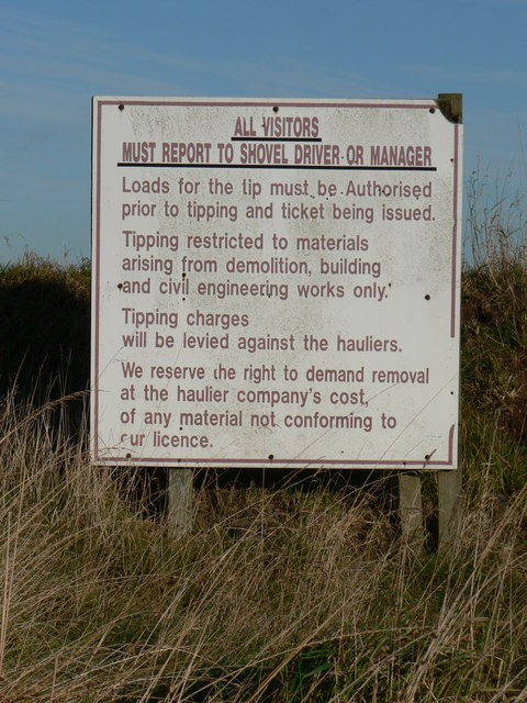
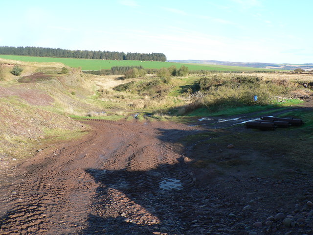
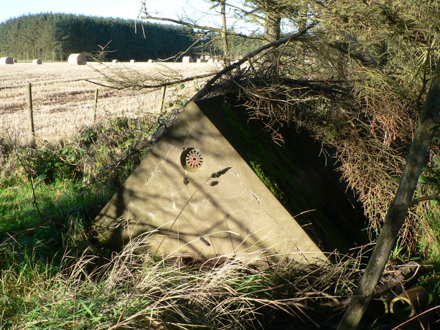
Brackmuir Hill Images
Images are sourced within 2km of 56.936362/-2.2290571 or Grid Reference NO8682. Thanks to Geograph Open Source API. All images are credited.


Brackmuir Hill is located at Grid Ref: NO8682 (Lat: 56.936362, Lng: -2.2290571)
Unitary Authority: Aberdeenshire
Police Authority: North East
What 3 Words
///different.hinders.spindles. Near Stonehaven, Aberdeenshire
Nearby Locations
Related Wikis

Thornyhive Bay
Thornyhive Bay is an embayment along the North Sea coast in Aberdeenshire, Scotland. This bay is situated approximately 2.5 miles south of the town of...

Dunnottar Castle
Dunnottar Castle (Scottish Gaelic: Dùn Fhoithear, "fort on the shelving slope") is a ruined medieval fortress located upon a rocky headland on the north...

Dunnottar Parish Church
Dunnottar Parish Church is a parish church of the Church of Scotland, serving Stonehaven in the south of Aberdeenshire, Scotland. It is within the Church...

Craiglethy
Craiglethy (Scottish Gaelic: Creag Liathach - meaning grey rock) is a small island/skerry off Fowlsheugh on the east coast of Aberdeenshire, Scotland in...
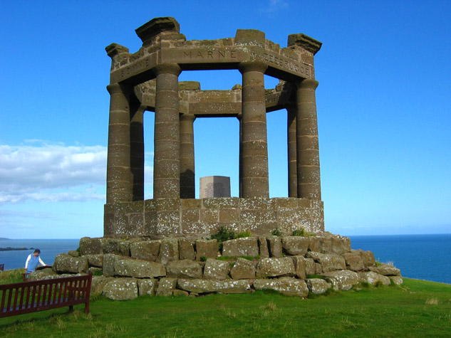
Stonehaven War Memorial
Stonehaven War Memorial is a war memorial situated on Black Hill overlooking Stonehaven in Scotland. == History == The memorial was designed by a Stonehaven...

Bowdun Head
Bowdun Head is a headland landform on the North Sea coast approximately one kilometre south of Stonehaven, Scotland.(Ordnance Survey, 2004) Slightly to...

Dunnicaer
Dunnicaer, or Dun-na-caer, is a precipitous sea stack just off the coast of Aberdeenshire, Scotland, between Dunnottar Castle and Stonehaven. Despite the...
Woodcot Hospital
Woodcot Hospital was a health facility in Woodcot Brae, Stonehaven, Scotland. It is a Category B listed building. == History == The hospital had its origins...
Nearby Amenities
Located within 500m of 56.936362,-2.2290571Have you been to Brackmuir Hill?
Leave your review of Brackmuir Hill below (or comments, questions and feedback).