Resting Hill
Hill, Mountain in Yorkshire Richmondshire
England
Resting Hill
The requested URL returned error: 429 Too Many Requests
If you have any feedback on the listing, please let us know in the comments section below.
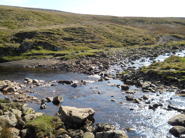
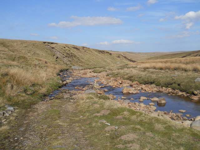
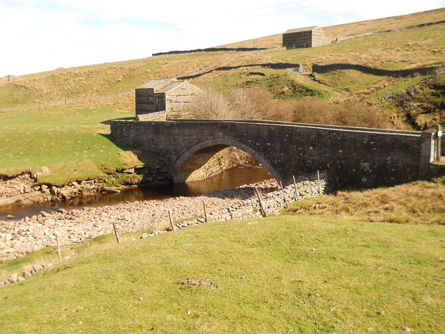
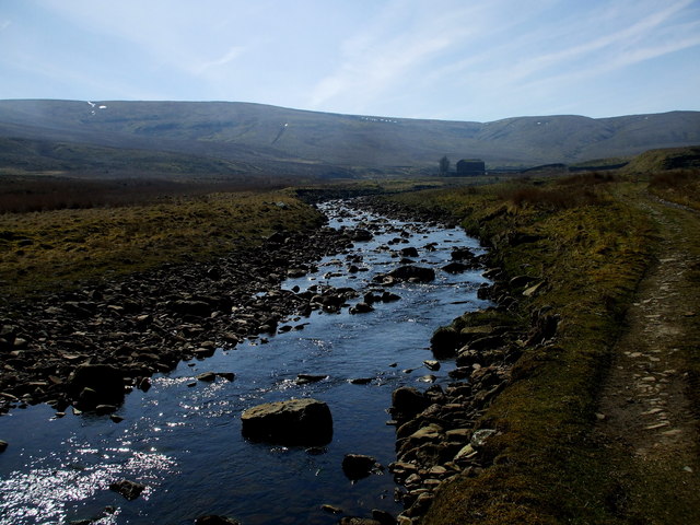
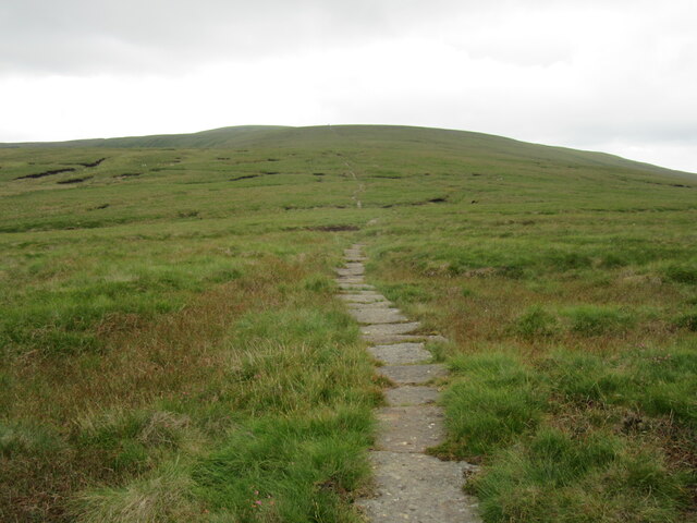
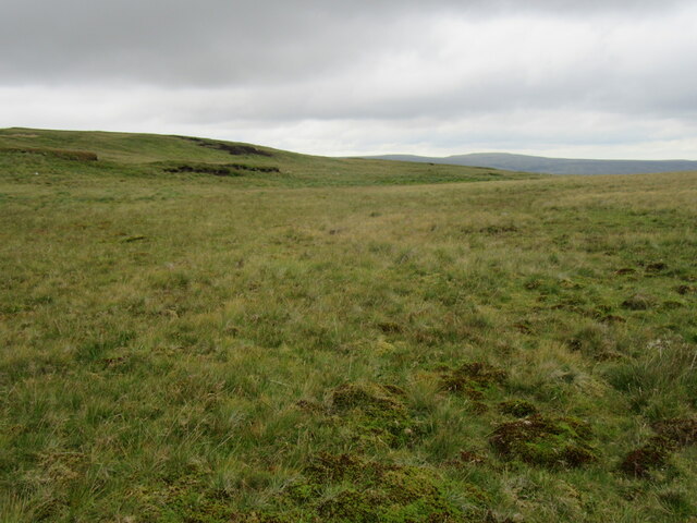
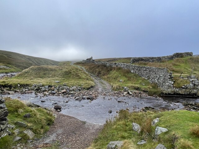
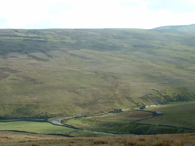
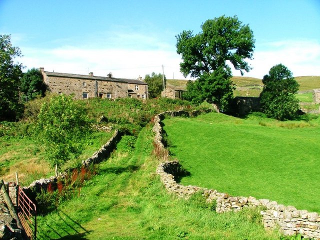
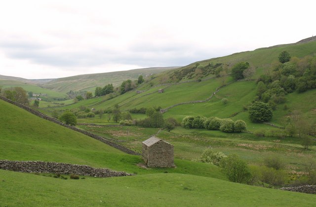
Resting Hill Images
Images are sourced within 2km of 54.390469/-2.2183798 or Grid Reference SD8599. Thanks to Geograph Open Source API. All images are credited.


Resting Hill is located at Grid Ref: SD8599 (Lat: 54.390469, Lng: -2.2183798)
Division: North Riding
Administrative County: North Yorkshire
District: Richmondshire
Police Authority: North Yorkshire
What 3 Words
///tanked.firework.exotic. Near Kirkby Stephen, Cumbria
Nearby Locations
Related Wikis

Great Shunner Fell
Great Shunner Fell is the third-highest mountain in the Yorkshire Dales, North Yorkshire, England, and the highest point in Wensleydale; at 716 metres...
Angram, Richmondshire
Angram is a hamlet in the Yorkshire Dales in the Richmondshire district of North Yorkshire, England. It is situated near to Keld to the north and Thwaite...

Wain Wath Force
Wain Wath Force is a waterfall on the River Swale in the Yorkshire Dales National Park, North Yorkshire, England. The falls are at grid reference NY883015...
Angram Bottoms
Angram Bottoms (grid reference SD891999) is a 9.8 hectares (24 acres) biological Site of Special Scientific Interest (SSSI) near to the village of Angram...
Have you been to Resting Hill?
Leave your review of Resting Hill below (or comments, questions and feedback).