Hamer Hill

Hill, Mountain in Lancashire Rossendale

England

Hamer Hill

Britannia Quarry  - Stripping the Coal Seam Western most workings on Holden Moor where about 20 feet of overlay is removed to reveal a coal seam which appears to run horizontal at this point.
Britannia Quarry - Stripping the Coal Seam Credit: Kevin Waterhouse

The requested URL returned error: 429 Too Many Requests

If you have any feedback on the listing, please let us know in the comments section below.
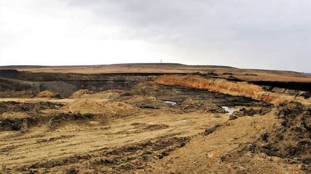
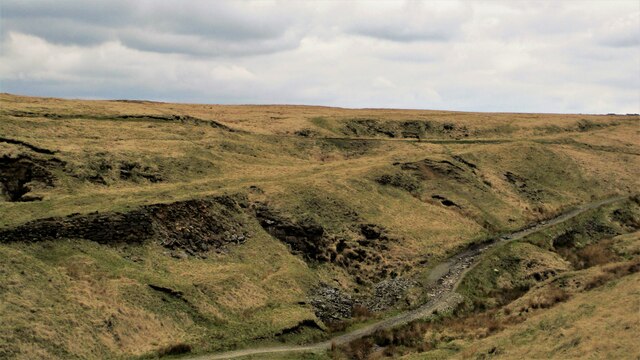
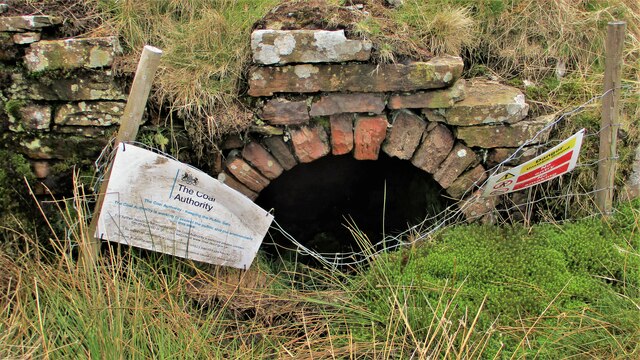
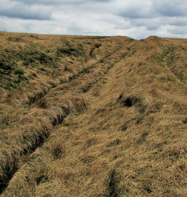
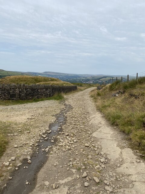
Hamer Hill Images

Images are sourced within 2km of 53.665362/-2.214836 or Grid Reference SD8518. Thanks to Geograph Open Source API. All images are credited.

Britannia Quarry  - Stripping the Coal Seam Western most workings on Holden Moor where about 20 feet of overlay is removed to reveal a coal seam which appears to run horizontal at this point.
Britannia Quarry - Stripping the Coal Seam
Western most workings on Holden Moor where about 20 feet of overlay is removed to reveal a coal seam which appears to run horizontal at this point.
Former Trackbed of Quarry Railway in Greens Clough Route of Siddalls Quarry railway heading South to Hall Cowm and Back Cowm Quarries plus various mines.
Former Trackbed of Quarry Railway in Greens Clough
Route of Siddalls Quarry railway heading South to Hall Cowm and Back Cowm Quarries plus various mines.
Helm Clough Colliery Remains Coal Authority notices keeping you safe at an entrance
Helm Clough Colliery Remains
Coal Authority notices keeping you safe at an entrance
Former Trackbed of Quarry Railway Route of Siddalls Quarry railway out of Greens Clough and on South to Jacksons Moor
Former Trackbed of Quarry Railway
Route of Siddalls Quarry railway out of Greens Clough and on South to Jacksons Moor
Site of Echofly Sculpture, Greens Moor Quarry Pond The Valley of Stone project commissioned three public artworks for the quarries. The Echofly positioned in the pond has since been put into store by Lancashire CC due to damage. Was it rock falls that caused this?
Site of Echofly Sculpture, Greens Moor Quarry Pond
The Valley of Stone project commissioned three public artworks for the quarries. The Echofly positioned in the pond has since been put into store by Lancashire CC due to damage. Was it rock falls that caused this?
Greens Moor Quarry Pond Rock falls which may have caused the removal of the public artwork Echofly.
Greens Moor Quarry Pond
Rock falls which may have caused the removal of the public artwork Echofly.
Greens Clough A quarried and mined area with routes of old tramways at various levels and heading in various directions
Greens Clough
A quarried and mined area with routes of old tramways at various levels and heading in various directions
Rowley Moor Road
Rowley Moor Road
Cut Mark - Boarsgreave, Rooley Moor Road Gatepost <span class="nowrap"><a title="https://www.bench-marks.org.uk/bm48543" rel="nofollow ugc noopener" href="https://www.bench-marks.org.uk/bm48543">Link</a><img style="margin-left:2px;" alt="External link" title="External link - shift click to open in new window" src="https://s1.geograph.org.uk/img/external.png" width="10" height="10"/></span>
Cut Mark - Boarsgreave, Rooley Moor Road Gatepost
Location of Cut Mark - Boarsgreave, Rooley Moor Road Gatepost
OS Cut Mark - Boarsgreave, Rooley Moor Road Wall <span class="nowrap"><a title="https://www.bench-marks.org.uk/bm104925" rel="nofollow ugc noopener" href="https://www.bench-marks.org.uk/bm104925">Link</a><img style="margin-left:2px;" alt="External link" title="External link - shift click to open in new window" src="https://s1.geograph.org.uk/img/external.png" width="10" height="10"/></span>
OS Cut Mark - Boarsgreave, Rooley Moor Road Wall
Location of OS Cut Mark - Boarsgreave, Rooley Moor Road Wall
Location of Cut Mark - Boarsgreave, Rooley Moor Road
OS Cut Mark - Boarsgreave, Rooley Moor Road <span class="nowrap"><a title="https://www.bench-marks.org.uk/bm112973" rel="nofollow ugc noopener" href="https://www.bench-marks.org.uk/bm112973">Link</a><img style="margin-left:2px;" alt="External link" title="External link - shift click to open in new window" src="https://s1.geograph.org.uk/img/external.png" width="10" height="10"/></span>
OS Cut Mark - Boarsgreave, Rooley Moor Road
Location of Cut Mark - Boarsgreave, Rooley Moor Road Gatepost (SE)
Cut Mark - Boarsgreave, Rooley Moor Road Gatepost (SE) <span class="nowrap"><a title="https://www.bench-marks.org.uk/bm48544" rel="nofollow ugc noopener" href="https://www.bench-marks.org.uk/bm48544">Link</a><img style="margin-left:2px;" alt="External link" title="External link - shift click to open in new window" src="https://s1.geograph.org.uk/img/external.png" width="10" height="10"/></span>
Cut Mark - Boarsgreave, Rooley Moor Road Gatepost (SE)
Section of moorland tramway Think it was near here we reunited a lamb with its Mum.

<span class="nowrap"><a title="http://www.valleyofstone.org.uk/journey/historyofquarrying/moorlandtramways" rel="nofollow ugc noopener" href="http://www.valleyofstone.org.uk/journey/historyofquarrying/moorlandtramways">Link</a><img style="margin-left:2px;" alt="External link" title="External link - shift click to open in new window" src="https://s1.geograph.org.uk/img/external.png" width="10" height="10"/></span>
Section of moorland tramway
Think it was near here we reunited a lamb with its Mum. LinkExternal link
Rossendale Way Sign <span class="nowrap"><a title="https://ldwa.org.uk/ldp/members/show_path.php?path_name=Rossendale+Way" rel="nofollow ugc noopener" href="https://ldwa.org.uk/ldp/members/show_path.php?path_name=Rossendale+Way">Link</a><img style="margin-left:2px;" alt="External link" title="External link - shift click to open in new window" src="https://s1.geograph.org.uk/img/external.png" width="10" height="10"/></span>
Rossendale Way Sign
Show me another place!

Hamer Hill is located at Grid Ref: SD8518 (Lat: 53.665362, Lng: -2.214836)

Administrative County: Lancashire

District: Rossendale

Police Authority: Lancashire

What 3 Words

///quaking.frame.plotted. Near Whitworth, Lancashire

Nearby Locations

Hamer Hill Rooley Moor

Related Wikis

Lee Quarry

Lee Quarry is a mountain bike trail located near Bacup and Stacksteads in Rossendale Valley, Lancashire. Originally a working quarry, the quarry alongside...

Hail Storm Hill

Hail Storm Hill, also known as Cowpe Moss, is the highest point of the Rossendale Valley, England, an area of moorland and hill country situated between...

Whitworth, Lancashire

Whitworth is a town and civil parish in Rossendale, Lancashire, England, amongst the foothills of the Pennines between Bacup, to the north, and Rochdale...

Scout Moor Wind Farm

Scout Moor Wind Farm is the second largest onshore wind farm in England. The wind farm, which was built for Peel Wind Power Ltd, produces electricity from...

Nearby Amenities

Located within 500m of 53.665362,-2.214836
Entrance: yes
Lat/Long: 53.6664645/-2.2155183
The data included in this document is from www.openstreetmap.org. The data is made available under ODbL.

Have you been to Hamer Hill?

Leave your review of Hamer Hill below (or comments, questions and feedback).