Cleghorn's Knowe
Hill, Mountain in Northumberland
England
Cleghorn's Knowe

Cleghorn's Knowe is a prominent hill located in the county of Northumberland, England. Rising to an elevation of approximately 1,250 feet (380 meters), it is part of the Cheviot Hills range, which stretches along the border between England and Scotland. Cleghorn's Knowe is situated near the village of Kirknewton, about 15 miles (24 kilometers) northwest of Wooler.
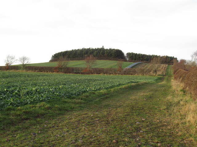
The hill is characterized by its distinctive conical shape and steep slopes, making it a notable landmark in the area. It is composed mainly of sedimentary rocks, such as sandstone and limestone, which provide a diverse range of geological features. The summit of Cleghorn's Knowe offers panoramic views of the surrounding countryside, including the rolling Cheviot Hills, the Scottish Borders, and the Northumberland National Park.
The hill is also known for its rich biodiversity, with various plant and animal species inhabiting its slopes. The lower areas are covered in grasses and heather, while the higher regions feature hardy alpine plants. Wildlife such as red grouse, rabbits, and birds of prey can often be spotted in the vicinity of Cleghorn's Knowe.
Given its natural beauty and accessibility, Cleghorn's Knowe is a popular destination for hikers and nature enthusiasts. Several walking routes traverse the hill, providing opportunities for outdoor activities and exploration. Whether it be for recreational purposes or simply to admire the breathtaking views, Cleghorn's Knowe offers an enjoyable experience for visitors to Northumberland.
If you have any feedback on the listing, please let us know in the comments section below.
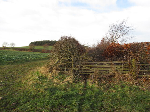
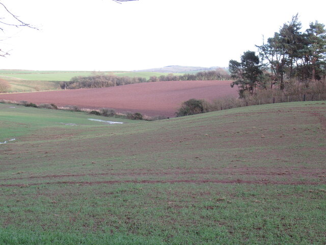
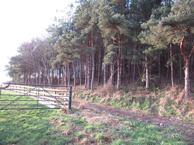
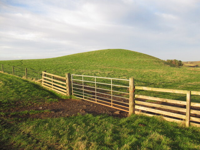
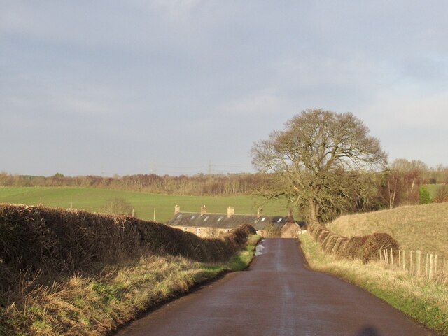
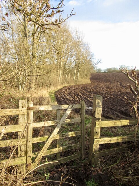
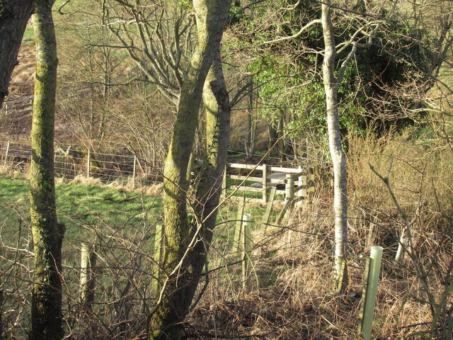
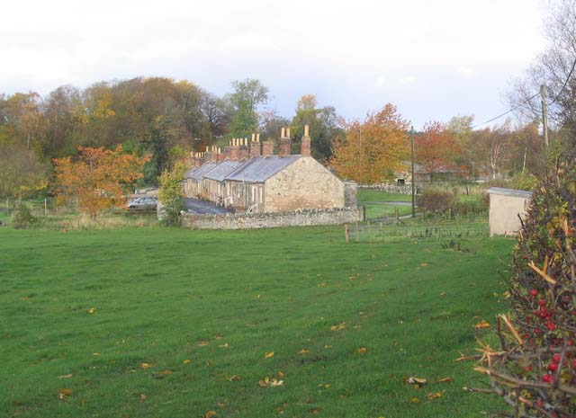
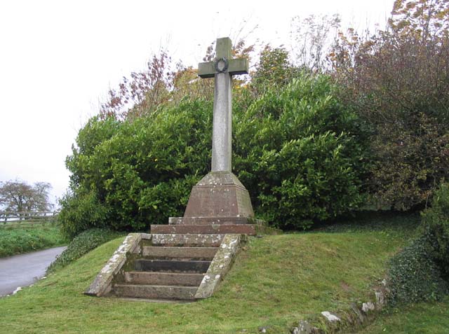
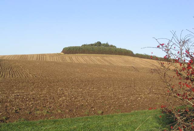
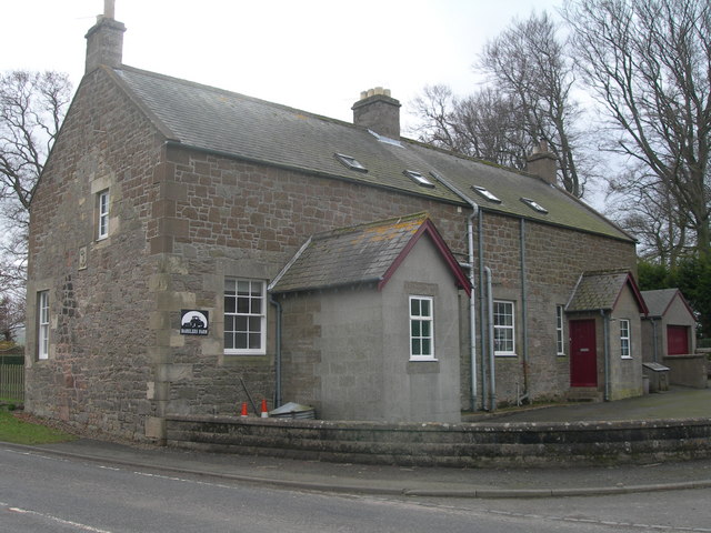
Cleghorn's Knowe Images
Images are sourced within 2km of 55.627536/-2.2256114 or Grid Reference NT8537. Thanks to Geograph Open Source API. All images are credited.


Cleghorn's Knowe is located at Grid Ref: NT8537 (Lat: 55.627536, Lng: -2.2256114)
Unitary Authority: Northumberland
Police Authority: Northumbria
What 3 Words
///ticking.revived.aimed. Near Coldstream, Scottish Borders
Nearby Locations
Related Wikis

Campfield Kettle Hole
Campfield Kettle Hole is the name given to a Site of Special Scientific Interest (SSSI) in north Northumberland, England. The site is thought to be the...
Barelees Pond
Barelees Pond is the name given to a Site of Special Scientific Interest (SSSI) in north Northumberland, England. The site is a kettle hole, a deep pond...
Bareless
Bareless is a village in Northumberland, England. == Governance == Bareless is in the parliamentary constituency of Berwick-upon-Tweed. == References ==
Cornhill-on-Tweed
Cornhill-on-Tweed is a small village and civil parish in Northumberland, England about 1 mile (1.6 km) to the east of Coldstream, Scotland. The hamlets...
Coldstream railway station
Coldstream railway station served the town of Coldstream in Berwickshire, Scotland although the station was across the River Tweed in Northumberland, England...
Coldstream
Coldstream (Scottish Gaelic: An Sruthan Fuar) is a town and civil parish in the Scottish Borders area of Scotland. A former burgh, Coldstream is the home...

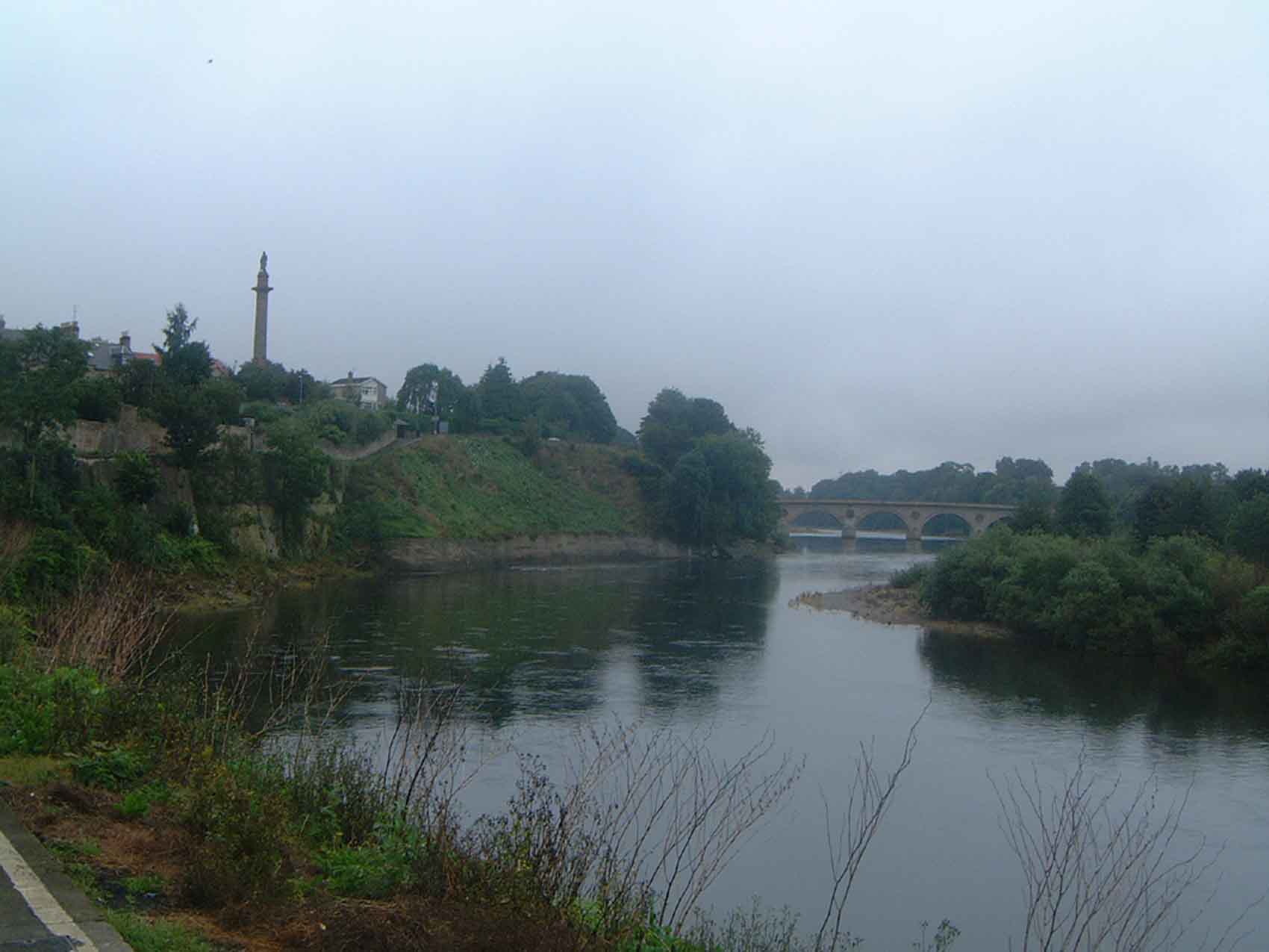
Coldstream Bridge
Coldstream Bridge, linking Coldstream, Scottish Borders with Cornhill-on-Tweed, Northumberland, is an 18th-century Category A/Grade II* listed bridge between...
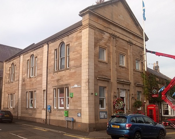
Coldstream Town Hall
Coldstream Town Hall is a municipal building in the High Street, Coldstream, Scottish Borders, Scotland. The structure, which currently accommodates a...
Nearby Amenities
Located within 500m of 55.627536,-2.2256114Have you been to Cleghorn's Knowe?
Leave your review of Cleghorn's Knowe below (or comments, questions and feedback).