Hill of Allochie
Hill, Mountain in Kincardineshire
Scotland
Hill of Allochie

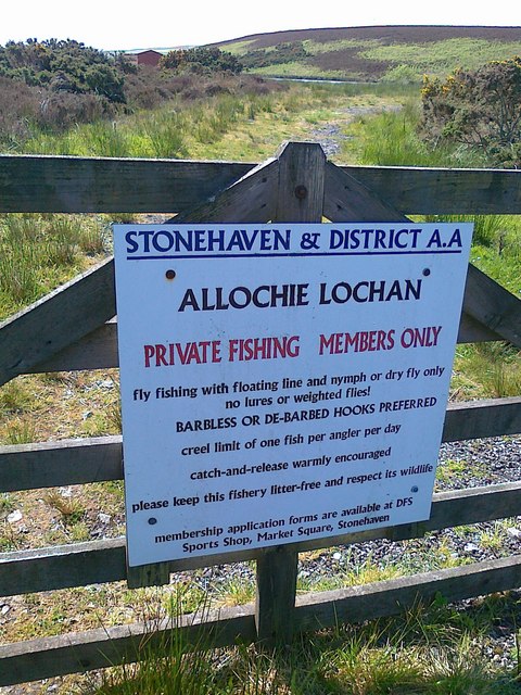
The Hill of Allochie, located in Kincardineshire, Scotland, is a modestly sized hill situated in the picturesque countryside. Standing at an elevation of around 372 meters (1,220 feet), it offers stunning panoramic views of the surrounding area, making it a popular destination for hikers and nature enthusiasts alike.
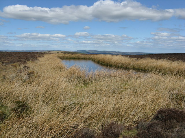
The hill is characterized by its gently sloping grassy terrain, which is covered in patches of heather and scattered trees. Its relatively gentle gradient makes it accessible to walkers of all levels of fitness and experience. The summit of the Hill of Allochie is marked by a cairn, providing a sense of achievement for those who reach the top.
The hill is known for its rich biodiversity, with various species of birds, including raptors such as buzzards and kestrels, often spotted soaring above. The surrounding area is also home to a diverse range of plant life, including wildflowers, ferns, and mosses.
The Hill of Allochie is easily accessible, with a well-maintained footpath leading to its summit. The path offers intermittent glimpses of breathtaking views as it winds its way up the hillside. Due to its popularity, the hill can sometimes become busy, especially during weekends and holidays.
Overall, the Hill of Allochie provides visitors with a peaceful and rewarding outdoor experience. Its scenic beauty, accessible trail, and diverse wildlife make it a must-visit destination for those seeking to explore the natural wonders of Kincardineshire.
If you have any feedback on the listing, please let us know in the comments section below.
Hill of Allochie Images
Images are sourced within 2km of 57.012456/-2.2405577 or Grid Reference NO8591. Thanks to Geograph Open Source API. All images are credited.


Hill of Allochie is located at Grid Ref: NO8591 (Lat: 57.012456, Lng: -2.2405577)
Unitary Authority: Aberdeenshire
Police Authority: North East
What 3 Words
///human.pigment.vaulting. Near Stonehaven, Aberdeenshire
Nearby Locations
Related Wikis

Craggie Cat
Craggie Cat is a hill landform in the Mounth of the Grampian Mountains at the southern edge of Netherley, Aberdeenshire, Scotland. The peak elevation...
Curlethney Hill
Curlethney Hill is a landform in Aberdeenshire, Scotland within the Mounth Range of the Grampian Mountains. (Grid Reference NO 918 839) The peak elevation...
Raedykes
Raedykes is the site of a Roman marching camp located just over three miles (five kilometres) northwest of Stonehaven, Aberdeenshire, Scotland. National...

Saddle Hill (Aberdeenshire)
Saddle Hill is a low lying mountain in eastern Aberdeenshire, Scotland within the Mounth Range of the Grampian Mountains. Its peak is 241 metres (791...
Hill of Muchalls
The Hill of Muchalls is a coastal mountainous landform situated approximately 1.4 kilometres west of the Bridge of Muchalls in Aberdeenshire, Scotland...

Netherley, Aberdeenshire
Netherley, Scotland is a village in Aberdeenshire, situated approximately five miles northwest of Stonehaven. Netherley is located in the Mounth area...

Netherley House
Netherley House is a mansion built by Alexander Silver in the late 18th century in Netherley, Aberdeenshire, Scotland. It is situated near the northerly...
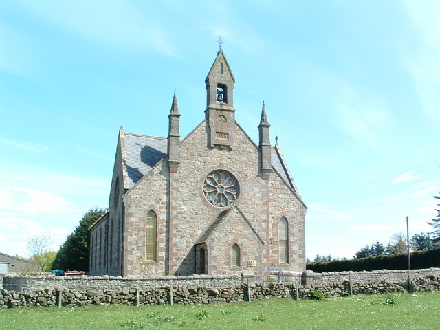
Cookney Church
Cookney Parish Church, now business premises within a converted listed building, was a Christian place of worship in the village of Cookney, Aberdeenshire...
Have you been to Hill of Allochie?
Leave your review of Hill of Allochie below (or comments, questions and feedback).