Black Hill

Hill, Mountain in Aberdeenshire

Scotland

Black Hill

Castle Point and Pennan from Lion's Head
Castle Point and Pennan from Lion's Head Credit: Alan Reid

Black Hill is a prominent peak located in Aberdeenshire, Scotland. Rising to an elevation of 637 meters (2,090 feet), it is part of the larger Cairngorms mountain range. The hill is situated near the village of Tarland, approximately 50 kilometers west of Aberdeen.

Black Hill is characterized by its distinctive dark appearance, which is caused by the abundance of heather covering its slopes. The hill offers stunning panoramic views of the surrounding countryside, with its summit providing a vantage point to admire the nearby mountain ranges, valleys, and woodland areas. On clear days, it is possible to see as far as the Grampian Mountains to the south, and even glimpses of the North Sea to the east.

Access to Black Hill is facilitated by several well-marked trails, making it a popular destination for walkers, hikers, and nature enthusiasts. The paths leading to the summit traverse through a variety of terrains, including moorland, bogs, and rocky sections. The hill is also home to diverse flora and fauna, including heather, wildflowers, and various bird species. Wildlife such as red deer and mountain hares can occasionally be spotted in the area.

Black Hill offers a sense of tranquility and solitude, with its remote location providing a peaceful retreat for those seeking to escape the hustle and bustle of everyday life. It is a place where visitors can immerse themselves in the natural beauty of the Scottish Highlands, while enjoying the physical challenge of ascending its slopes.

If you have any feedback on the listing, please let us know in the comments section below.
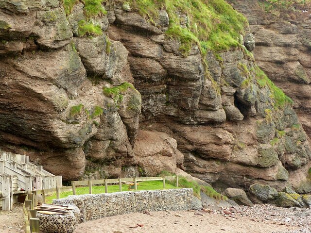
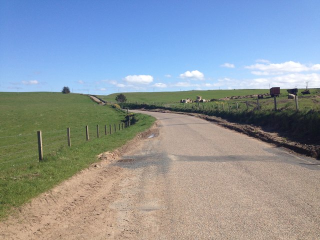
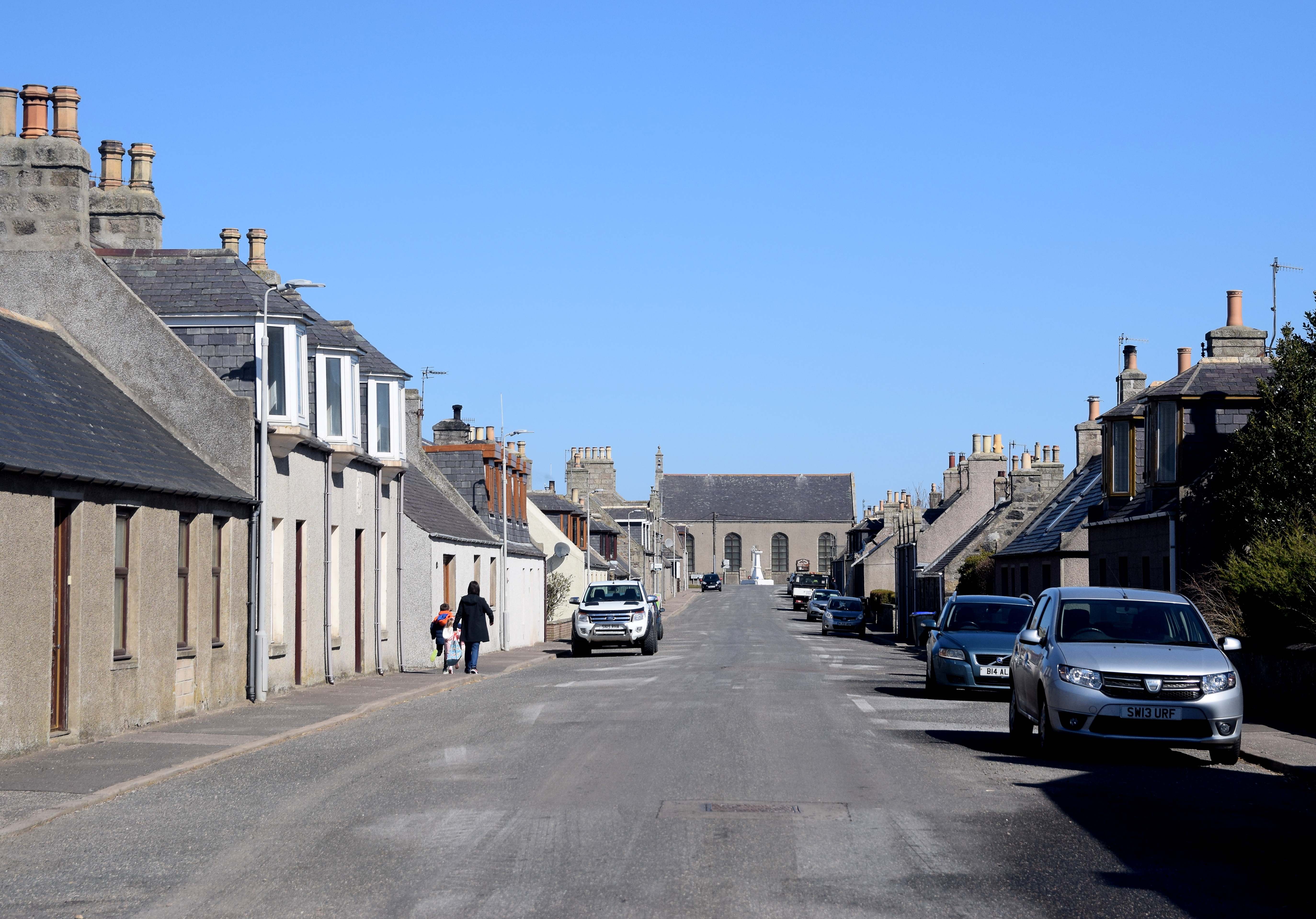
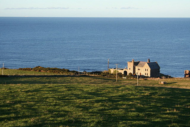
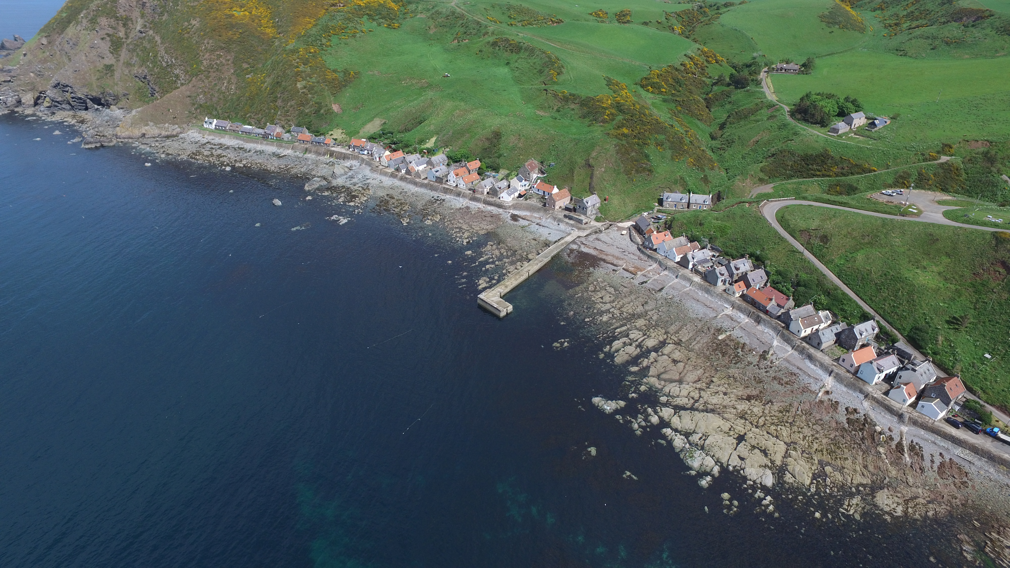
Black Hill Images

Images are sourced within 2km of 57.679315/-2.2466563 or Grid Reference NJ8565. Thanks to Geograph Open Source API. All images are credited.

Castle Point and Pennan from Lion's Head
Pennan Harbour
Pennan Harbour
Cullykhan Bay Pennan Head beyond.
Cullykhan Bay
Pennan Head beyond.
Rainwashed cobbles and shingle, Pennan Displaying a remarkable variety of colours and rock types. Of interest are the small number of unrounded rocks in amongst them.
Rainwashed cobbles and shingle, Pennan
Displaying a remarkable variety of colours and rock types. Of interest are the small number of unrounded rocks in amongst them.
Pennan village, Aberdeenshire Classic Scottish fishing village, built from the 18th century onwards. The whole village is listed as a B group listing in Buildings of Architectural or Historic Interest, with most of the buildings having individual Listings too.
Pennan village, Aberdeenshire
Classic Scottish fishing village, built from the 18th century onwards. The whole village is listed as a B group listing in Buildings of Architectural or Historic Interest, with most of the buildings having individual Listings too.
The bay at Pennan, with Black Hill The rocky floor of the bay would have made this a tricky place to work boats from, but the local Conservation Area Appraisal states that in 1855 there were 15 drifters and 25 smaller boats in use, although the number had declined by the beginning of the 20th century due to the unsuitability for the larger steam drifters.
The bay at Pennan, with Black Hill
The rocky floor of the bay would have made this a tricky place to work boats from, but the local Conservation Area Appraisal states that in 1855 there were 15 drifters and 25 smaller boats in use, although the number had declined by the beginning of the 20th century due to the unsuitability for the larger steam drifters.
Geology at Pennan Red sandstone conglomerate with distinctive weathering patterns.
Geology at Pennan
Red sandstone conglomerate with distinctive weathering patterns.
Wild Day, Pennan After days of northerly winds and a high tide the sea is battering the front at Pennan. The red phone box that featured in the film Local Hero can just be seen about to disappear behind the spray.
Wild Day, Pennan
After days of northerly winds and a high tide the sea is battering the front at Pennan. The red phone box that featured in the film Local Hero can just be seen about to disappear behind the spray.
Local Hero The phone box that featured heavily in the film Local Hero. Although the film is set on the west coast of Scotland all the shots of the fictional village of Ferness were filmed on the lovely setting of Pennan on the north Aberdeenshire coast.
Local Hero
The phone box that featured heavily in the film Local Hero. Although the film is set on the west coast of Scotland all the shots of the fictional village of Ferness were filmed on the lovely setting of Pennan on the north Aberdeenshire coast.
Cullykhan Bay Taken at sunset the start of a great camp.
Cullykhan Bay
Taken at sunset the start of a great camp.
Phone box in Pennan
Phone box in Pennan
The entrance to Hell's Lum
Pennan Village Looking along the seafront in Pennan Village.
Pennan Village
Looking along the seafront in Pennan Village.
Cliffs on the west side of Mill Shore Mill Shore to the west of Pennan.
Cliffs on the west side of Mill Shore
Mill Shore to the west of Pennan.
Lion's Head Coastal scenery near to Hells Lum.
Lion's Head
Coastal scenery near to Hells Lum.
Hell's Lum A close-up shot
Hell's Lum
A close-up shot
Pennan village The Pennan Inn and red telephone box. Setting for the film 'Local Hero'.
Pennan village
The Pennan Inn and red telephone box. Setting for the film 'Local Hero'.
B9031 near East Mains
Show me another place!

Black Hill is located at Grid Ref: NJ8565 (Lat: 57.679315, Lng: -2.2466563)

Unitary Authority: Aberdeenshire

Police Authority: North East

What 3 Words

///pizzeria.asserts.behind. Near Rosehearty, Aberdeenshire

Related Wikis

Nearby Amenities

Located within 500m of 57.679315,-2.2466563
Source: Old Landsat image trace
Lat/Long: 57.6825403/-2.248493
Source: Old Landsat image trace
Lat/Long: 57.6827006/-2.246521
Source: Old Landsat image trace
Lat/Long: 57.6817697/-2.2528
Source: Old Landsat image trace
Lat/Long: 57.6819372/-2.2521118
Source: Old Landsat image trace
Lat/Long: 57.6818646/-2.2446563
Source: Old Landsat image trace
Lat/Long: 57.6817215/-2.242981
Source: Old Landsat image trace
Lat/Long: 57.6818256/-2.2409366
Source: Old Landsat image trace
Lat/Long: 57.6807613/-2.2389845
Source: Old Landsat image trace
Lat/Long: 57.6815205/-2.2534899
Source: Old Landsat image trace
Lat/Long: 57.6826742/-2.2471438
Source: Old Landsat image trace
Lat/Long: 57.6820074/-2.251188
Source: Old Landsat image trace
Lat/Long: 57.6816355/-2.2440442
Source: Old Landsat image trace
Lat/Long: 57.6823146/-2.2449111
Source: Old Landsat image trace
Lat/Long: 57.6820453/-2.2420058
Source: Old Landsat image trace
Lat/Long: 57.6810917/-2.239772
Source: Old Landsat image trace
Lat/Long: 57.6814075/-2.2403525
Source: Old Landsat image trace
Lat/Long: 57.6806325/-2.2386712
Pennan Farm
Place: farm
Lat/Long: 57.6765576/-2.2452935
The data included in this document is from www.openstreetmap.org. The data is made available under ODbL.

Have you been to Black Hill?

Leave your review of Black Hill below (or comments, questions and feedback).