Burnt Hill
Hill, Mountain in Yorkshire Richmondshire
England
Burnt Hill

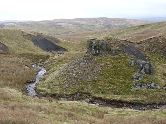
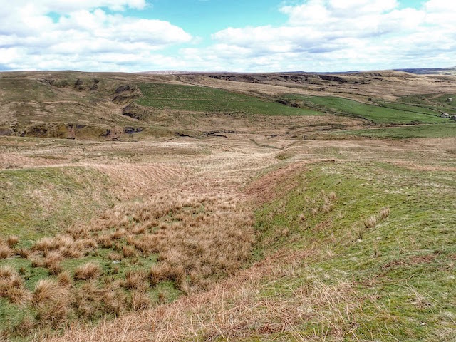
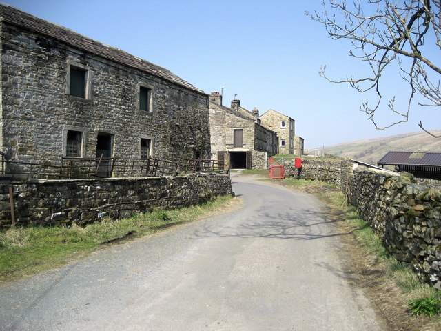
Burnt Hill is a prominent hill located in the county of Yorkshire, England. Situated in the North York Moors National Park, it forms part of the stunning landscape that characterizes this region. The hill is known for its distinctive burnt appearance, which is the result of a controlled heather burning practice common in this area. This technique helps to rejuvenate the moorland and promote new growth.
Standing at an elevation of approximately 1,300 feet (396 meters), Burnt Hill offers breathtaking panoramic views of the surrounding countryside. On clear days, visitors can enjoy vistas that stretch for miles, encompassing rolling hills, dense woodlands, and picturesque valleys. The hill is a popular destination for hikers, nature enthusiasts, and photographers seeking to capture the beauty of the Yorkshire countryside.
The summit of Burnt Hill is easily accessible via well-maintained footpaths, making it a popular spot for outdoor activities. The hill is also home to a variety of wildlife, including native bird species such as grouse and pheasants. Additionally, it supports a diverse range of plant life, including heather, bracken, and bilberry.
Due to its location within the North York Moors National Park, Burnt Hill is subject to conservation efforts aimed at preserving its natural beauty and protecting its unique ecosystem. Visitors are encouraged to follow designated trails and adhere to the park's guidelines to ensure the continued well-being of the hill and its surroundings.
Overall, Burnt Hill in Yorkshire offers visitors a chance to immerse themselves in the stunning landscapes of the North York Moors, providing an unforgettable experience for those seeking natural beauty and tranquility.
If you have any feedback on the listing, please let us know in the comments section below.
Burnt Hill Images
Images are sourced within 2km of 54.438294/-2.2302593 or Grid Reference NY8504. Thanks to Geograph Open Source API. All images are credited.


Burnt Hill is located at Grid Ref: NY8504 (Lat: 54.438294, Lng: -2.2302593)
Division: North Riding
Administrative County: North Yorkshire
District: Richmondshire
Police Authority: North Yorkshire
What 3 Words
///snuggle.splints.excavate. Near Kirkby Stephen, Cumbria
Nearby Locations
Related Wikis

Birkdale, North Yorkshire
Birkdale (sometimes written out as Birk Dale) is a dale in the Yorkshire Dales National Park, in North Yorkshire, England. It lies at the far western end...
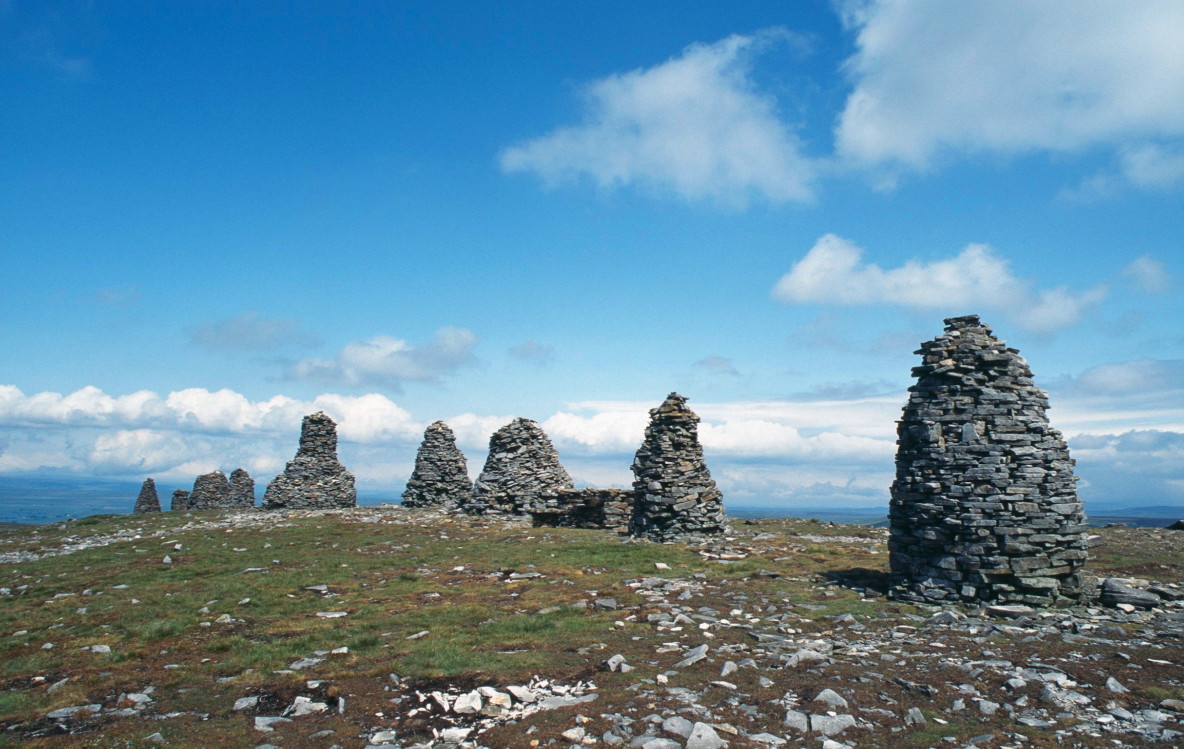
Nine Standards Rigg
Nine Standards Rigg is the summit of Hartley Fell in the Pennine Hills of England. It lies near the boundary between Cumbria and North Yorkshire, a few...
West Stonesdale
West Stonesdale is a hamlet in the Yorkshire Dales, North Yorkshire, England. The secluded village is near Keld to the south, Tan Hill to the north and...

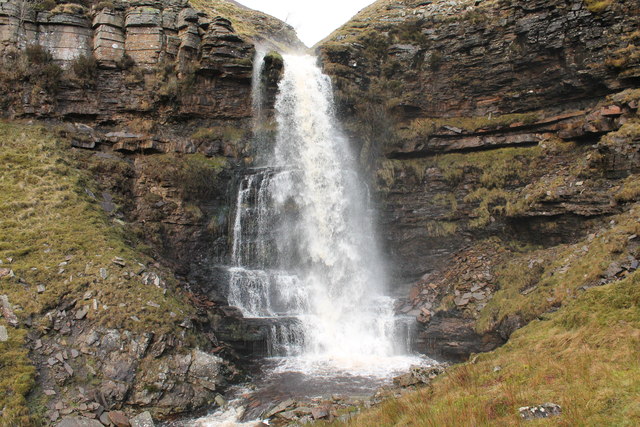
Wain Wath Force
Wain Wath Force is a waterfall on the River Swale in the Yorkshire Dales National Park, North Yorkshire, England. The falls are at grid reference NY883015...

Tan Hill, North Yorkshire
Tan Hill (NY896067) is a high point on the Pennine Way in the Richmondshire district of North Yorkshire, England. It lies north of Keld in the civil parish...

Keld, North Yorkshire
Keld is a village in the English county of North Yorkshire. It is in Swaledale, and the Yorkshire Dales National Park. The name derives from the Viking...

East Gill Force
East Gill Force is a waterfall in Swaledale, 330 yards (300 m) east of the hamlet of Keld, in the Yorkshire Dales National Park, North Yorkshire, England...

Belah Viaduct
The Belah Viaduct was a railway viaduct on the South Durham and Lancashire Union Railway, crossing the River Belah, in Cumbria, England, about 1 mile...
Nearby Amenities
Located within 500m of 54.438294,-2.2302593Have you been to Burnt Hill?
Leave your review of Burnt Hill below (or comments, questions and feedback).