Lough Shaw

Hill, Mountain in Northumberland

England

Lough Shaw

The Pennine Way near Millstone Edge
The Pennine Way near Millstone Edge Credit: Dave Kelly

Lough Shaw is a prominent hill located in Northumberland, England. It stands at an elevation of approximately 405 meters (1,329 feet) and is a popular destination for hikers and outdoor enthusiasts. The hill is situated within the Northumberland National Park, which is known for its stunning landscapes and diverse wildlife.

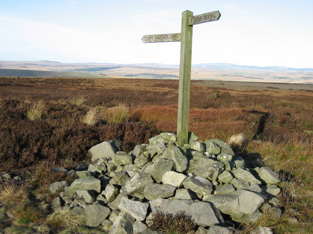
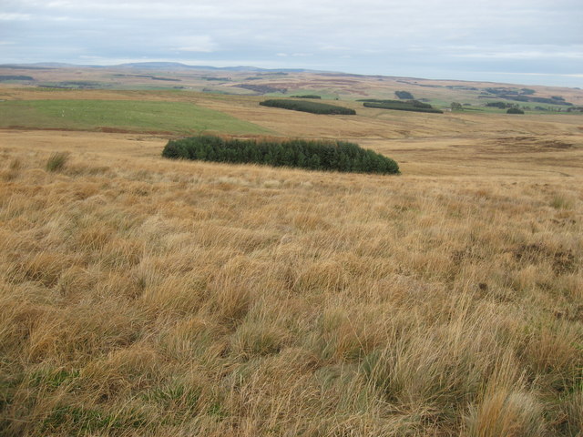
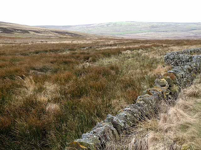
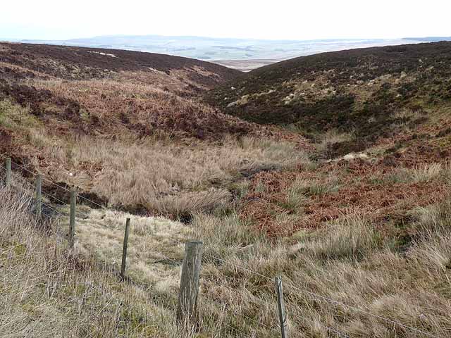
Lough Shaw offers breathtaking panoramic views of the surrounding countryside, making it an ideal spot for nature lovers and photographers. From the summit, visitors can admire the rolling hills, lush green valleys, and picturesque villages that dot the landscape below. On clear days, it is even possible to catch a glimpse of the North Sea shimmering in the distance.

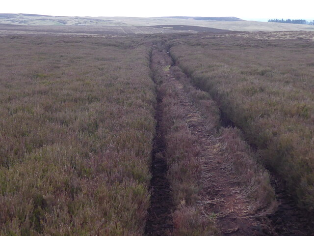
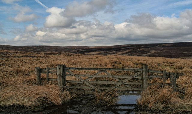
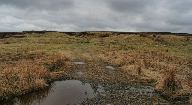
The hill itself is characterized by its gentle slopes and rocky outcrops. It is predominantly covered in heather and grasses, providing a habitat for various bird species and small mammals. The area is also home to several walking trails and footpaths, allowing visitors to explore the hill at their own pace.

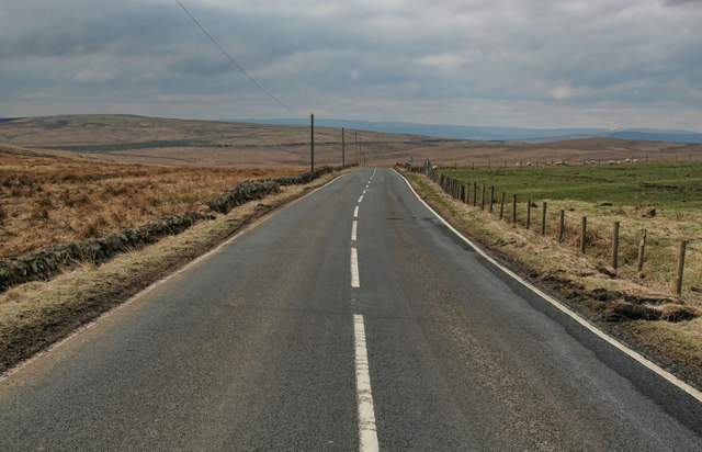
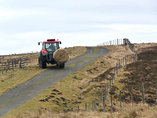
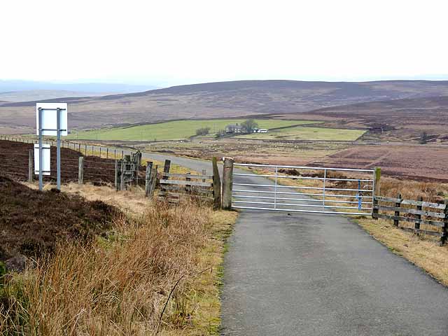
Lough Shaw is easily accessible by both car and foot, with a car park located nearby for convenience. The hill is a popular choice for those looking to escape the hustle and bustle of city life and immerse themselves in the tranquility of the Northumberland countryside.

Overall, Lough Shaw is a natural gem in Northumberland, offering stunning views, diverse wildlife, and a peaceful atmosphere that attracts visitors from near and far.

If you have any feedback on the listing, please let us know in the comments section below.

Lough Shaw Images

Images are sourced within 2km of 55.197754/-2.2456061 or Grid Reference NY8489. Thanks to Geograph Open Source API. All images are credited.

The Pennine Way near Millstone Edge
Following the Pennine Way towards Lord's Shaw A bleak stretch of moorland.
Following the Pennine Way towards Lord's Shaw
A bleak stretch of moorland.
Pennine way marker on Deer play. Desolate moorland.
Pennine way marker on Deer play.
Desolate moorland.
Deer Play Looking SE towards the summit of this remote moor.
Deer Play
Looking SE towards the summit of this remote moor.
Way marker on the Pennine Way Near Deer Play.  The Cheviot Hills are visible in the distance.
Way marker on the Pennine Way
Near Deer Play. The Cheviot Hills are visible in the distance.
Pennine Way near Deer Play Near to a cluster of large shakeholes on the Pennine Way near Deer Play.  This ice-crusted pool may be a small shakehole.  For more information on shakeholes, see:  <span class="nowrap"><a title="http://www.bbc.co.uk/scotland/education/int/geog/limestone/surface/shakehole.html" rel="nofollow ugc noopener" href="http://www.bbc.co.uk/scotland/education/int/geog/limestone/surface/shakehole.html">Link</a><img style="margin-left:2px;" alt="External link" title="External link - shift click to open in new window" src="https://s1.geograph.org.uk/img/external.png" width="10" height="10"/></span>
Pennine Way near Deer Play
Near to a cluster of large shakeholes on the Pennine Way near Deer Play. This ice-crusted pool may be a small shakehole. For more information on shakeholes, see: LinkExternal link
Rough grazing near Great Moor The Cheviots are visible in the distance.
Rough grazing near Great Moor
The Cheviots are visible in the distance.
Great Moor This is one of the most featureless gridsquares I've geographed.  But there is a good view from up here, see: <a title="https://www.geograph.org.uk/photo/621205" href="https://www.geograph.org.uk/photo/621205">Link</a>.
Great Moor
This is one of the most featureless gridsquares I've geographed. But there is a good view from up here, see: Link.
Wetshaw Hope View from the B6320 looking up towards Wetshaw Hope.
Wetshaw Hope
View from the B6320 looking up towards Wetshaw Hope.
Corsenside Common Disused quarry on Corsenside Common.
Corsenside Common
Disused quarry on Corsenside Common.
Hareshaw Head The B6320 beneath Hareshaw Head.
Hareshaw Head
The B6320 beneath Hareshaw Head.
Moorland below Hareshaw Head In the distance are the moors on the far side of North Tynedale.
Moorland below Hareshaw Head
In the distance are the moors on the far side of North Tynedale.
Tractor at Hareshaw Head Off to feed the sheep on the minor road over Corsenside Common to West Woodburn.
Tractor at Hareshaw Head
Off to feed the sheep on the minor road over Corsenside Common to West Woodburn.
Hareshaw Head On the minor road over Corsenside Common from West Woodburn. The road passes through a small outlier of the Otterburn Ranges; this gate marks the boundary at the western end. The farm of Hareshaw Head down on the B6320 can be seen in the middle distance.
Hareshaw Head
On the minor road over Corsenside Common from West Woodburn. The road passes through a small outlier of the Otterburn Ranges; this gate marks the boundary at the western end. The farm of Hareshaw Head down on the B6320 can be seen in the middle distance.
The road to Otterburn The B6320 descends in a switchback from Hareshaw Head.The village of Otterburn, nestling in Redesdale, can be seen dimly in the middle distance towards the left.
The road to Otterburn
The B6320 descends in a switchback from Hareshaw Head.The village of Otterburn, nestling in Redesdale, can be seen dimly in the middle distance towards the left.
Wetshaw Sike Interlocking spurs on this tributary of the River Rede.
Wetshaw Sike
Interlocking spurs on this tributary of the River Rede.
Show me another place!

Lough Shaw is located at Grid Ref: NY8489 (Lat: 55.197754, Lng: -2.2456061)

Unitary Authority: Northumberland

Police Authority: Northumbria

What 3 Words

///digits.sparrows.sheets. Near Corsenside, Northumberland

Nearby Locations

Lough Shaw Lough Shaw

Related Wikis

Corsenside

Corsenside is one of the largest parishes in Northumberland, however the area is mainly a vast expanse of rolling hills and farmland, with three tiny villages...

Redesdale

Redesdale is a valley in western Northumberland, England. It is formed by the River Rede, which rises in the Cheviots and flows down to join the North...
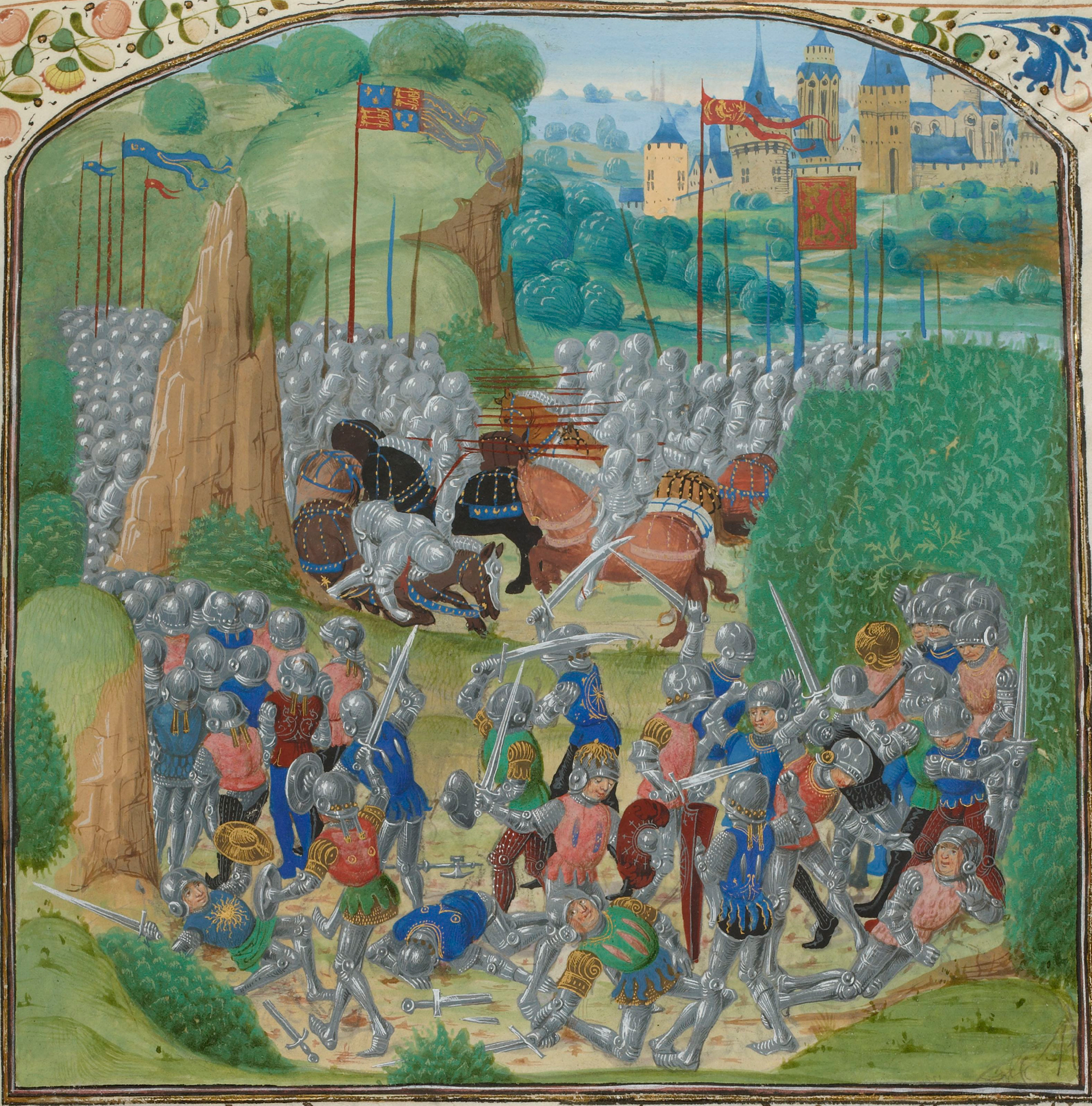
Battle of Otterburn

The Battle of Otterburn took place according to Scottish sources on 5 August 1388, or 19 August according to English sources, as part of the continuing...
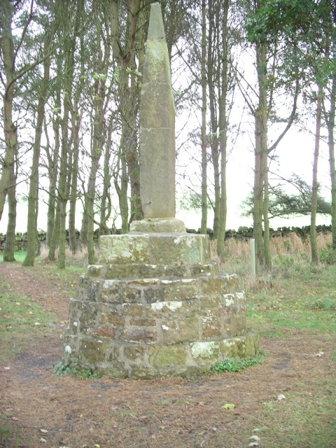
Percy Cross

The Percy Cross (also Battle Stone) is located just off the A696, 1 kilometre (0.62 mi) from Otterburn, Northumberland, England. It was erected before...

Nearby Amenities

Located within 500m of 55.197754,-2.2456061
Lough Shaw
Place: locality
Lat/Long: 55.197614/-2.2455444
The data included in this document is from www.openstreetmap.org. The data is made available under ODbL.

Have you been to Lough Shaw?

Leave your review of Lough Shaw below (or comments, questions and feedback).