Brownber Head
Hill, Mountain in Yorkshire Eden
England
Brownber Head
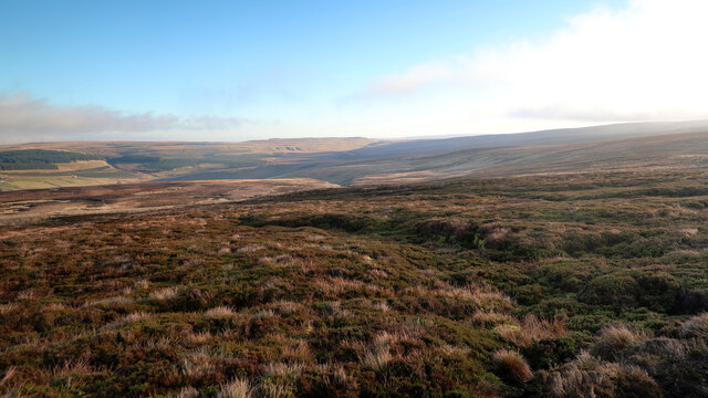
Brownber Head is a prominent hill located in the Yorkshire Dales National Park, in the county of Yorkshire, England. Standing at an elevation of 548 meters (1,798 feet), it is considered one of the highest points in the region. The hill is situated near the village of Newbiggin-on-Lune, offering breathtaking views of the surrounding countryside.
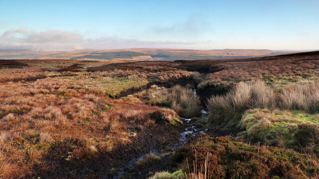
Brownber Head is a popular destination for hikers and outdoor enthusiasts, due to its accessibility and stunning vistas. The hill is characterized by its gently sloping sides, covered in heather and grasses, which provide a picturesque landscape throughout the year. The summit of Brownber Head offers panoramic views of the nearby Howgill Fells, the Pennines, and the Yorkshire Dales, making it an ideal spot for photographers and nature lovers to capture the beauty of the region.
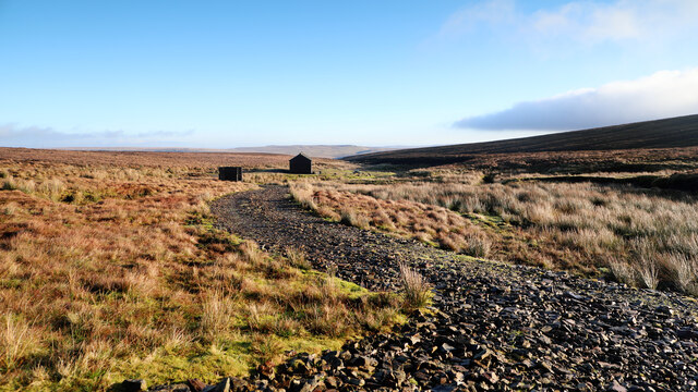
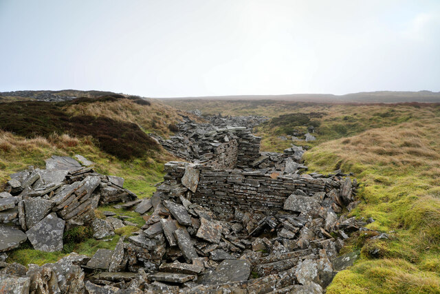
The hill also holds historical significance, as it was once part of an ancient trade route known as the Coast to Coast Walk. This long-distance footpath attracts many walkers, who often include Brownber Head as part of their itinerary.
Visitors to Brownber Head can access the hill via various footpaths and bridleways that traverse the surrounding countryside. It is advisable for hikers to come prepared with appropriate equipment, including sturdy footwear and weatherproof clothing, as weather conditions on the hill can be unpredictable.
Overall, Brownber Head offers a stunning natural landscape and a chance to experience the beauty of the Yorkshire Dales from a vantage point that showcases the region's diverse terrain.
If you have any feedback on the listing, please let us know in the comments section below.
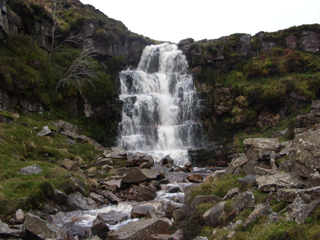
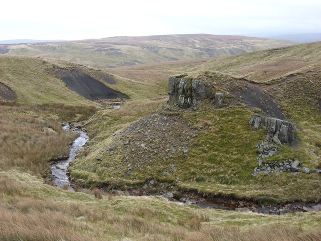
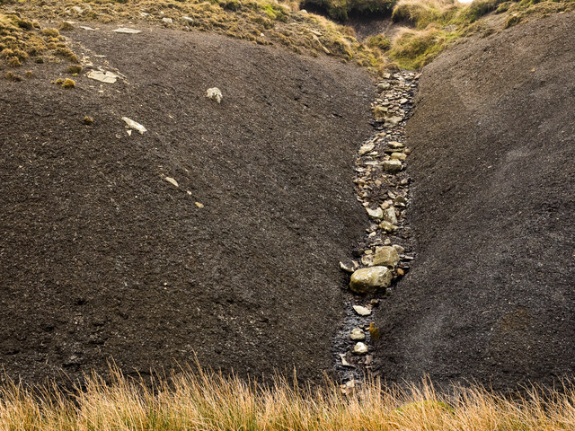
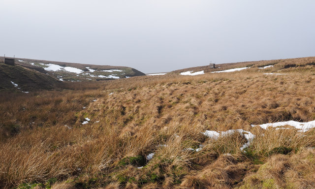
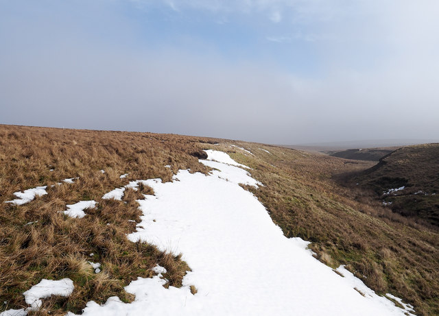
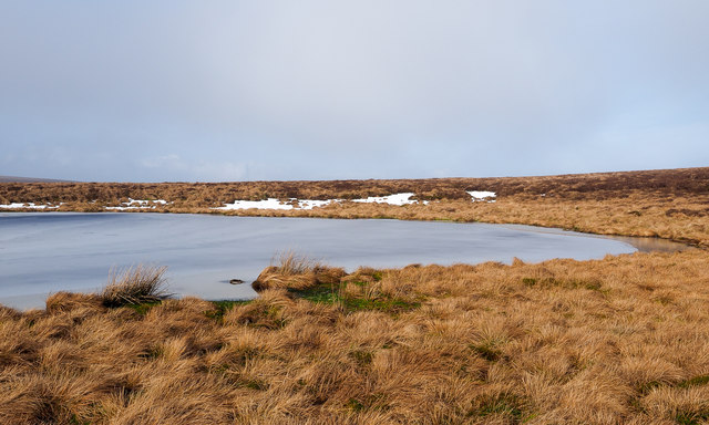
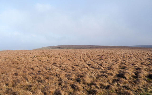
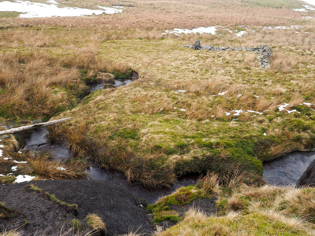
Brownber Head Images
Images are sourced within 2km of 54.456173/-2.2418817 or Grid Reference NY8406. Thanks to Geograph Open Source API. All images are credited.


Brownber Head is located at Grid Ref: NY8406 (Lat: 54.456173, Lng: -2.2418817)
Division: North Riding
Administrative County: Cumbria
District: Eden
Police Authority: Cumbria
What 3 Words
///shredder.defrost.afternoon. Near Kirkby Stephen, Cumbria
Nearby Locations
Related Wikis
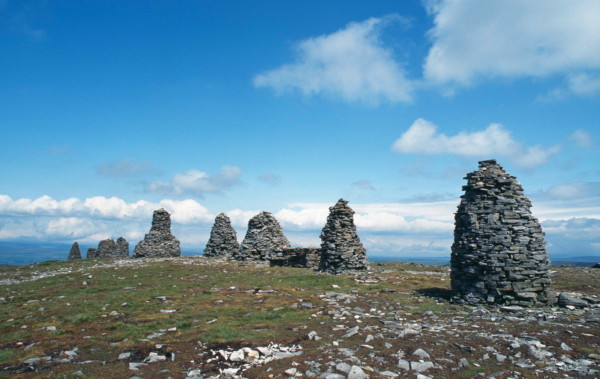
Nine Standards Rigg
Nine Standards Rigg is the summit of Hartley Fell in the Pennine Hills of England. It lies near the boundary between Cumbria and North Yorkshire, a few...

Belah Viaduct
The Belah Viaduct was a railway viaduct on the South Durham and Lancashire Union Railway, crossing the River Belah, in Cumbria, England, about 1 mile...

Birkdale, North Yorkshire
Birkdale (sometimes written out as Birk Dale) is a dale in the Yorkshire Dales National Park, in North Yorkshire, England. It lies at the far western end...

Barras railway station
Barras railway station was situated on the South Durham & Lancashire Union Railway between Barnard Castle and Kirkby Stephen East. == History == The station...
Nearby Amenities
Located within 500m of 54.456173,-2.2418817Have you been to Brownber Head?
Leave your review of Brownber Head below (or comments, questions and feedback).