Sullside Hill
Hill, Mountain in Yorkshire Ribble Valley
England
Sullside Hill

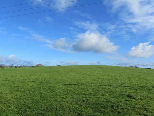
Sullside Hill is a prominent geographical feature located in Yorkshire, England. Rising to an elevation of 726 meters (2,382 feet), it is classified as a hill or mountain, depending on the criteria used. Situated in the southern part of the North York Moors National Park, Sullside Hill offers breathtaking panoramic views of the surrounding countryside, making it a popular destination for hikers, nature enthusiasts, and photographers.
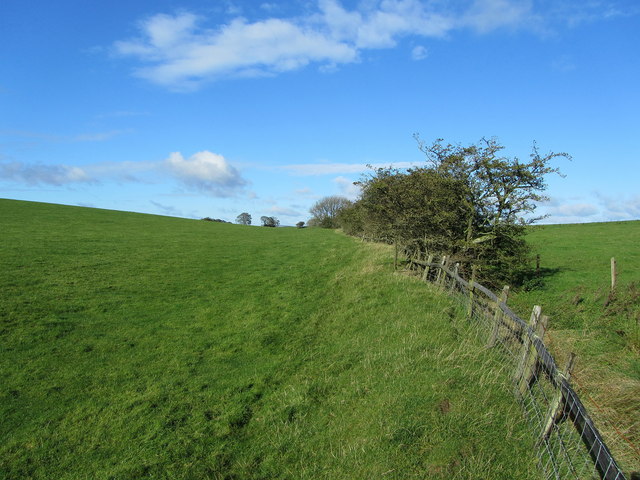
The hill is predominantly composed of a mixture of sedimentary and metamorphic rocks, including sandstone and shale, which have been shaped over millions of years by the forces of erosion and glaciation. This geological diversity has resulted in a rich and varied landscape, characterized by rolling hills, steep slopes, and deep valleys.
The vegetation on Sullside Hill is mainly heather moorland, providing a habitat for various plant and animal species, including grouse, curlews, and rabbits. The hill is also home to several freshwater streams and small waterfalls, which add to its natural beauty and attract wildlife.
Access to Sullside Hill is facilitated by a network of footpaths and bridleways, allowing visitors to explore its rugged terrain and enjoy the stunning views. Additionally, there are informative signposts along the trails, providing historical and geological information about the area.
Overall, Sullside Hill in Yorkshire is a captivating destination that showcases the natural beauty and diversity of the region. Its scenic vistas, unique geology, and abundant wildlife make it an ideal location for outdoor enthusiasts seeking to immerse themselves in the splendor of the British countryside.
If you have any feedback on the listing, please let us know in the comments section below.
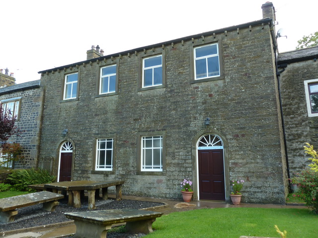
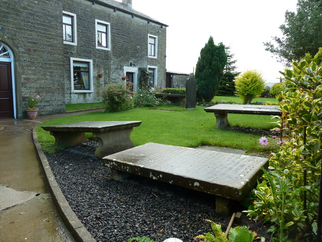
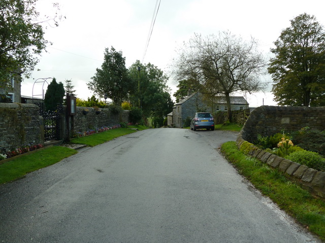
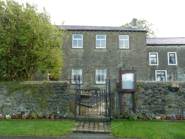
Sullside Hill Images
Images are sourced within 2km of 53.937683/-2.2416115 or Grid Reference SD8449. Thanks to Geograph Open Source API. All images are credited.


Sullside Hill is located at Grid Ref: SD8449 (Lat: 53.937683, Lng: -2.2416115)
Division: West Riding
Administrative County: Lancashire
District: Ribble Valley
Police Authority: Lancashire
What 3 Words
///urban.conveying.ghosts. Near Barnoldswick, Lancashire
Nearby Locations
Related Wikis

Gisburn Tunnel
Gisburn Tunnel is a short railway tunnel on the Ribble Valley line in Lancashire, England. The tunnel is 157 yards (144 m) long, just to the east of Gisburn...

A59 road
The A59 is a major road in England which is around 109 miles (175 km) long and runs from Wallasey, Merseyside to York, North Yorkshire. The alignment formed...

Gisburn
Gisburn (formerly Gisburne) is a village and civil parish within the Ribble Valley borough of Lancashire, England. Historically within the West Riding...

Gisburne Park
Gisburne Park is an 18th-century country house and associated park in Gisburn, Lancashire, England, in the Ribble Valley some 6 miles (10 km) north-east...
Related Videos

Todber Valley Holiday Park, Lancashire
Get a preview of what you can expect at our Todber Valley Holiday Park in Lancashire. Todber Valley Holiday Park Borders rural ...

Todber Valley Holiday Park | Weekends Holidays
todbervalleyholidaypark #caravanholiday #parkdeanresorts #weekendsholidays At Todber Valley Holiday Park, located in ...

Caravans For Sale at Todber Valley Holiday Park, Lancashire
Join us to experience what it is like to own a holiday home at Todber Valley Holiday Park in Lancashire. Todber Valley Holiday ...

Holiday Lodge Hire at Holgates Ribble Valley
Take a look around our brand-new holiday lodges, available to book for weekend breaks, week long breaks and also mid-week ...
Nearby Amenities
Located within 500m of 53.937683,-2.2416115Have you been to Sullside Hill?
Leave your review of Sullside Hill below (or comments, questions and feedback).