Keilhill

Settlement in Aberdeenshire

Scotland

Keilhill

Driveway to Eden House at South Lodge Looking north-eastward.
Driveway to Eden House at South Lodge Credit: Peter Wood

Keilhill is a charming rural community located in Aberdeenshire, Scotland. Situated amidst picturesque countryside, this idyllic village offers a tranquil and scenic setting for its residents and visitors alike.

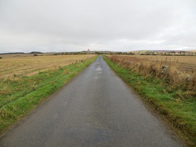
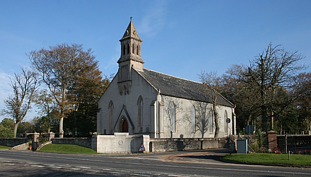
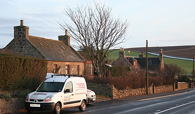
The village is characterized by its traditional Scottish architecture, with stone-built houses and cottages lining the streets. The surrounding landscape is adorned with rolling hills, lush green fields, and meandering streams, creating a postcard-worthy scene at every turn.

Despite its small size, Keilhill boasts a strong sense of community spirit. The locals are known for their warm hospitality and friendly nature, making visitors feel welcome and at home. The village features a range of amenities to cater to residents' needs, including a local grocery store, a post office, and a village hall that serves as a hub for social events and gatherings.

Nature lovers will find plenty to explore in the area surrounding Keilhill. The nearby forests and nature reserves offer opportunities for hiking, birdwatching, and wildlife spotting. The village is also conveniently located near the coast, allowing residents and visitors to enjoy scenic coastal walks and the fresh sea breeze.

Keilhill serves as a peaceful retreat from the hustle and bustle of city life, providing a serene and picturesque setting for those looking to escape into nature. Its stunning natural surroundings, strong community spirit, and warm hospitality make it a hidden gem within the Aberdeenshire region.

If you have any feedback on the listing, please let us know in the comments section below.
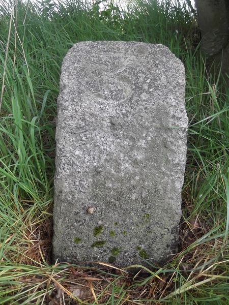
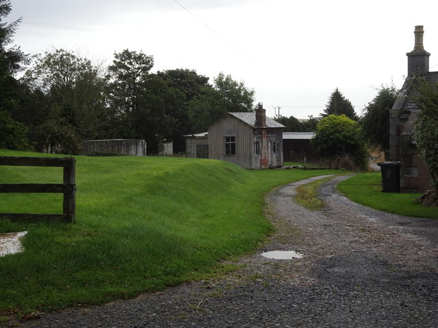
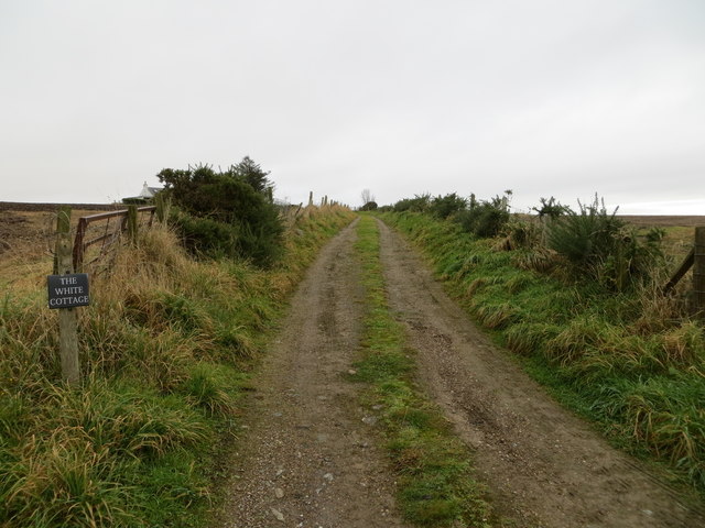
Keilhill Images

Images are sourced within 2km of 57.627651/-2.481898 or Grid Reference NJ7159. Thanks to Geograph Open Source API. All images are credited.

Driveway to Eden House at South Lodge Looking north-eastward.
Driveway to Eden House at South Lodge
Looking north-eastward.
Wall enclosed road approaching the remains of Eden Castle Looking south-westward.
Wall enclosed road approaching the remains of Eden Castle
Looking south-westward.
Wood of Balchers Looking towards this small woodland from the access road
Wood of Balchers
Looking towards this small woodland from the access road
OS Cut Mark, Wester Keilhill Farm Ordnance Survey cut mark, bottom left corner of picture
OS Cut Mark, Wester Keilhill Farm
Ordnance Survey cut mark, bottom left corner of picture
Old Milestone by the A947, south of Macduff, Banff parish Milestone by the A947, in parish of Banff (District), 100m South of lane to Netherwood opposite, on verge on East side of road.

Inscription reads:-
3
(To Banff)

Surveyed

Milestone Society National ID: AD_BFTR03
Old Milestone by the A947, south of Macduff, Banff parish
Milestone by the A947, in parish of Banff (District), 100m South of lane to Netherwood opposite, on verge on East side of road. Inscription reads:- 3 (To Banff) Surveyed Milestone Society National ID: AD_BFTR03
King Edward railway station (site), Aberdeenshire Opened in 1860 by the Banff Macduff & Turriff Extension Railway, later part of the Great North of Scotland Railway, on the line from Inveramsay to Macduff, this station closed to passengers in 1951 and completely in 1961.
View east towards the former forecourt, Plaidy and Inveramsay. The wooden station building appears to be a remarkable survivor. The track was to the left of it.
King Edward railway station (site), Aberdeenshire
Opened in 1860 by the Banff Macduff & Turriff Extension Railway, later part of the Great North of Scotland Railway, on the line from Inveramsay to Macduff, this station closed to passengers in 1951 and completely in 1961. View east towards the former forecourt, Plaidy and Inveramsay. The wooden station building appears to be a remarkable survivor. The track was to the left of it.
Minor road between arable fields heading towards Croft of Bruntyards and Honeyneuk Looking north-eastward.
Minor road between arable fields heading towards Croft of Bruntyards and Honeyneuk
Looking north-eastward.
Track leading to The White Cottage Looking north-eastward.
Track leading to The White Cottage
Looking north-eastward.
Minor road near to Foulzie Looking north-westward.
Minor road near to Foulzie
Looking north-westward.
Tree-lined minor road Looking westward. The public road goes left here with the driveway to Eden House continuing ahead.
Tree-lined minor road
Looking westward. The public road goes left here with the driveway to Eden House continuing ahead.
Minor road approaching Bogside Wood Looking south-eastward.
Minor road approaching Bogside Wood
Looking south-eastward.
Wall-lined minor road heading towards Bogside Looking north-eastward.
Wall-lined minor road heading towards Bogside
Looking north-eastward.
Ordnance Survey Cut Mark This mark can be found on the parapet wall of former railway bridge near to Keilhill. The benchmark's recorded height is 68.767 metres above sea level.
For more detail see : <span class="nowrap"><a title="https://www.bench-marks.org.uk/bm114151" rel="nofollow ugc noopener" href="https://www.bench-marks.org.uk/bm114151">Link</a><img style="margin-left:2px;" alt="External link" title="External link - shift click to open in new window" src="https://s1.geograph.org.uk/img/external.png" width="10" height="10"/></span>
Ordnance Survey Cut Mark
This mark can be found on the parapet wall of former railway bridge near to Keilhill. The benchmark's recorded height is 68.767 metres above sea level. For more detail see : LinkExternal link
King Edward Church
King Edward Church
Mains of Eden The farm steading is dominated by the remains of Eden Castle.
Mains of Eden
The farm steading is dominated by the remains of Eden Castle.
Farm Building I wonder if the loft with the outside stair was the chaumer where the unmarried male farm servants slept?
Farm Building
I wonder if the loft with the outside stair was the chaumer where the unmarried male farm servants slept?
Eden Castle The stark remains of Eden Castle stand beside Mains of Eden. Originally a seat of the Meldrum family, it was built in 1577. It was sold to the Leslies, and then passed into the ownership of the Earls of Fife.
Eden Castle
The stark remains of Eden Castle stand beside Mains of Eden. Originally a seat of the Meldrum family, it was built in 1577. It was sold to the Leslies, and then passed into the ownership of the Earls of Fife.
A Bend in the Road A slight curve in the road is replicated by the line of this drystane dyke near Eden.
A Bend in the Road
A slight curve in the road is replicated by the line of this drystane dyke near Eden.
Show me another place!

Keilhill is located at Grid Ref: NJ7159 (Lat: 57.627651, Lng: -2.481898)

Unitary Authority: Aberdeenshire

Police Authority: North East

What 3 Words

///bluff.eyelid.workouts. Near Macduff, Aberdeenshire

Nearby Locations

Keilhill

Related Wikis

Eden Castle

Eden Castle is a castle near Banff in Aberdeenshire, Scotland. The castle was built in the latter half of the 16th century by the Meldrum family with renovation...

King Edward railway station

King Edward railway station was a railway station at King Edward, King Edward Parish, Aberdeenshire, Scotland on the rural branchline to Macduff. It was...

King Edward, Aberdeenshire

King Edward (Gaelic: Cinn Eadar) is a small village, parish and former feudal barony near the north coast of Scotland in Buchan midway between Turriff...

Longman Hill

Longmanhill is a Bronze Age long barrow situated atop a prominent rounded landform in northern Aberdeenshire, Scotland near Banff Bay. Due to the low-lying...

Burn of Myrehouse

The Burn of Myrehouse is a coastal stream in Aberdeenshire in northeast Scotland, the lower section of which, Getty Burn is a right bank tributary of River...

Deveronside F.C.

Deveronside Junior Football Club are a Scottish football club from the town of Banff. Members of the Scottish Junior Football Association, they currently...

Castle of King Edward

The Castle of King Edward is a 13th-century ruined castle near King Edward, Aberdeenshire, Scotland, located 6 kilometres (3.7 mi) north of Turriff, where...

Longmanhill

Longmanhill is a settlement in the Aberdeenshire parish of Gamrie; it is located along the A98 road connecting Fraserburgh to Macduff. This hamlet was...

Nearby Amenities

Located within 500m of 57.627651,-2.481898
Bus Stop
Road End
Bus: yes
Naptan AtcoCode: 630026241
Naptan Bearing: S
Naptan CommonName: Road End
Naptan Indicator: opp
Naptan NaptanCode: 23624687
Naptan Street: A947
Naptan Verified: no
Public Transport: platform
Shelter: yes
Source: naptan;bing;naptan_compare_tool
Lat/Long: 57.6259005/-2.4784242
Power: pole
Lat/Long: 57.6317297/-2.4836846
Power: pole
Lat/Long: 57.6318676/-2.4828135
Power: pole
Lat/Long: 57.6315837/-2.4845253
Power: pole
Lat/Long: 57.6242176/-2.47704
Power: pole
Lat/Long: 57.6242956/-2.4801946
Power: pole
Lat/Long: 57.6278113/-2.4837846
Power: pole
Lat/Long: 57.6247724/-2.4830282
Power: pole
Lat/Long: 57.6255221/-2.4832052
Power: pole
Lat/Long: 57.6262976/-2.483409
Power: pole
Lat/Long: 57.6235729/-2.4844338
Power: pole
Lat/Long: 57.6239587/-2.4828049
Power: pole
Lat/Long: 57.6241494/-2.4814998
Power: pole
Lat/Long: 57.6244928/-2.4782622
Power: pole
Lat/Long: 57.6309332/-2.4829986
Power: pole
Lat/Long: 57.6299875/-2.4832026
Power: pole
Lat/Long: 57.6290543/-2.4833962
Power: pole
Lat/Long: 57.6283546/-2.4835241
Power: pole
Lat/Long: 57.6270509/-2.4835955
Power: pole
Lat/Long: 57.6255368/-2.4832063
Power: pole
Lat/Long: 57.6247937/-2.4830258
Power: pole
Lat/Long: 57.6314723/-2.4851956
The data included in this document is from www.openstreetmap.org. The data is made available under ODbL.

Have you been to Keilhill?

Leave your review of Keilhill below (or comments, questions and feedback).