Blackdean Curr
Hill, Mountain in Roxburghshire
Scotland
Blackdean Curr

Blackdean Curr is a prominent hill located in Roxburghshire, a historic county in the southern part of Scotland. Situated within the stunning Scottish Borders region, this hill is a prominent feature in the landscape, offering breathtaking views and a variety of recreational opportunities.
Rising to an elevation of approximately 400 meters (1,312 feet), Blackdean Curr is known for its rugged and rocky terrain, making it a popular destination for hillwalkers and hikers. The ascent to the summit is challenging but rewarding, with panoramic vistas of the surrounding countryside, including the rolling hills and picturesque valleys of Roxburghshire.
The hill is covered in heather, giving it a distinctive purple hue during the summer months. This vibrant landscape attracts nature enthusiasts, who can spot a diverse range of flora and fauna in the area. Blackdean Curr is home to various bird species, including red grouse and skylarks, providing a haven for birdwatchers.
Additionally, the hill offers opportunities for outdoor activities such as mountain biking and horse riding, with designated trails and paths crisscrossing the area. The Blackdean Curr hillwalk is a popular route, allowing visitors to explore the hill's beauty and discover its hidden gems.
Access to Blackdean Curr is relatively straightforward, with car parking available nearby, and the hill is well signposted. However, it is recommended to check local weather conditions and be well-prepared for the challenging terrain before embarking on any hikes or walks on Blackdean Curr.
If you have any feedback on the listing, please let us know in the comments section below.
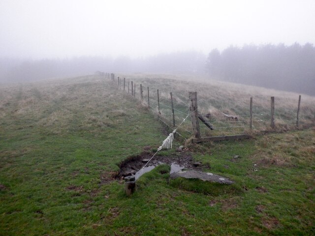
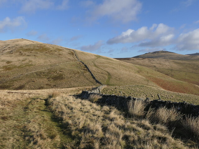
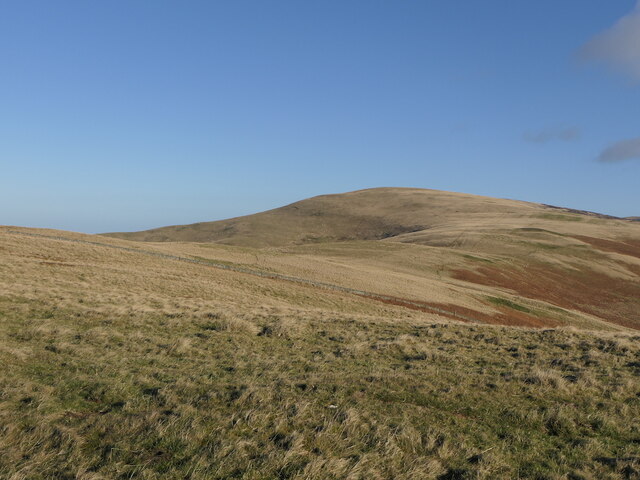
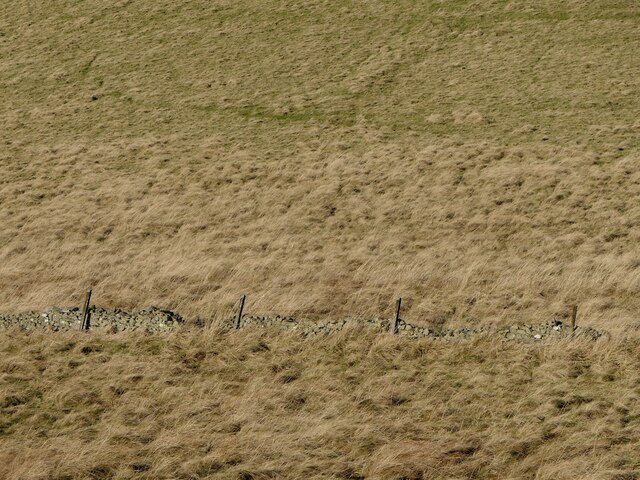
Blackdean Curr Images
Images are sourced within 2km of 55.493196/-2.2530616 or Grid Reference NT8422. Thanks to Geograph Open Source API. All images are credited.


Blackdean Curr is located at Grid Ref: NT8422 (Lat: 55.493196, Lng: -2.2530616)
Unitary Authority: The Scottish Borders
Police Authority: The Lothians and Scottish Borders
What 3 Words
///prevented.bridges.dancer. Near Kirknewton, Northumberland
Nearby Locations
Related Wikis

Mowhaugh
Mowhaugh is a hamlet and farm steading near the Calroust Burn and the Bowmont Water, near Morebattle, in the Scottish Borders area of Scotland, and in...

Town Yetholm
Town Yetholm ('town yet-ham') is a small village in the Scottish Borders in the valley of the Bowmont Water opposite Kirk Yetholm. The town colours are...

Yetholm
Yetholm is the parish that contained the villages of Kirk Yetholm and Town Yetholm in the east of the former county of Roxburghshire, nowadays in the Scottish...

Kirk Yetholm
Kirk Yetholm ('kirk yet-ham') is a village in the Scottish Borders region of Scotland, 8 miles (13 kilometres) southeast of Kelso and less than 1 mile...
Nearby Amenities
Located within 500m of 55.493196,-2.2530616Have you been to Blackdean Curr?
Leave your review of Blackdean Curr below (or comments, questions and feedback).