Garrison Hill
Hill, Mountain in Kincardineshire
Scotland
Garrison Hill

Garrison Hill is a prominent hill located in the county of Kincardineshire, Scotland. Situated near the town of Stonehaven, this hill is known for its historical significance and breathtaking views. Standing at an elevation of approximately 155 meters (509 feet), it offers a commanding presence within the surrounding landscape.
The hill derives its name from the fact that it was once home to a garrison during the 18th century. This military presence was established to protect the nearby Dunnottar Castle, a medieval fortress that sits on a rugged cliff overlooking the North Sea. Today, Garrison Hill serves as a popular destination for visitors who wish to explore the area's rich history and enjoy the stunning scenery.
Access to Garrison Hill is relatively easy, with well-maintained paths leading to the summit. Along the way, hikers can marvel at the diverse flora and fauna that thrive in the surrounding countryside. Once atop the hill, visitors are rewarded with panoramic views of the picturesque Stonehaven coastline, including the dramatic cliffs and the sparkling waters of the North Sea.
Garrison Hill also offers recreational activities such as paragliding and kite flying, making it a popular spot for outdoor enthusiasts. Additionally, the hill is part of a network of walking trails that connect it to other nearby landmarks, providing opportunities for longer hikes and exploration of the surrounding area.
Overall, Garrison Hill is a must-visit destination for anyone seeking a combination of natural beauty, historical significance, and outdoor adventure in the heart of Kincardineshire, Scotland.
If you have any feedback on the listing, please let us know in the comments section below.
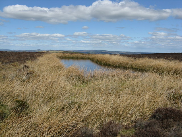
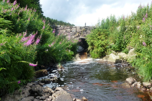
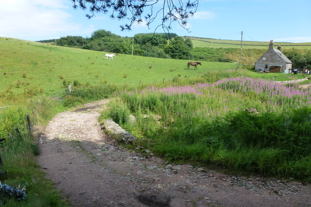
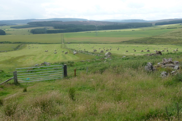
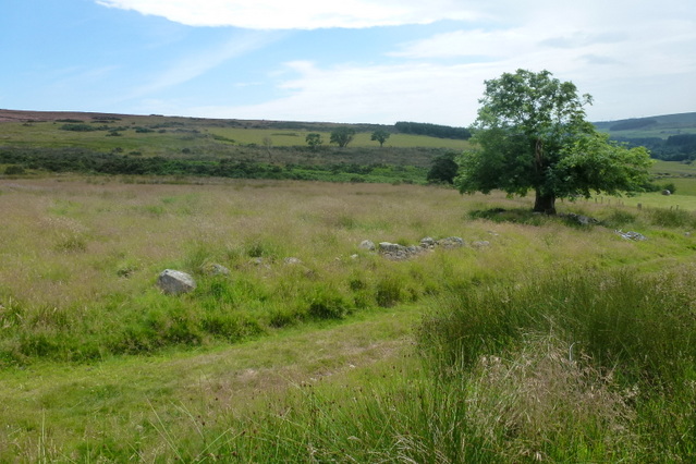
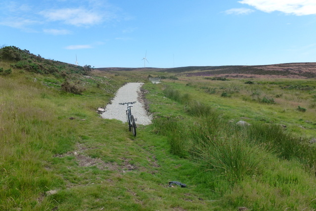
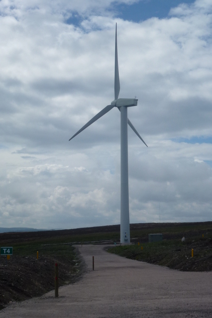
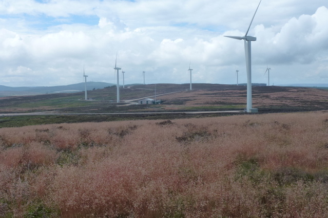
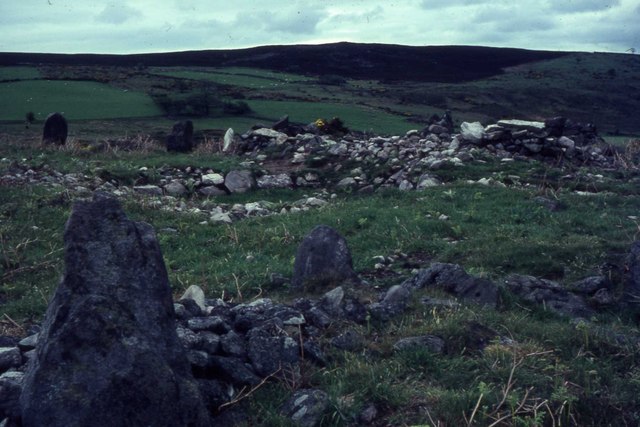
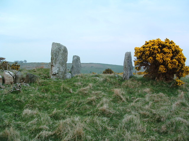
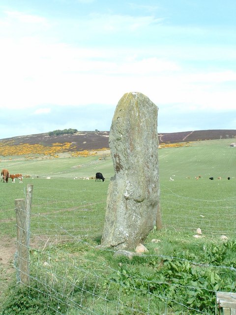
Garrison Hill Images
Images are sourced within 2km of 57.001719/-2.2633703 or Grid Reference NO8490. Thanks to Geograph Open Source API. All images are credited.


Garrison Hill is located at Grid Ref: NO8490 (Lat: 57.001719, Lng: -2.2633703)
Unitary Authority: Aberdeenshire
Police Authority: North East
What 3 Words
///burns.gong.mushroom. Near Stonehaven, Aberdeenshire
Nearby Locations
Related Wikis
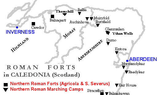
Raedykes
Raedykes is the site of a Roman marching camp located just over three miles (five kilometres) northwest of Stonehaven, Aberdeenshire, Scotland. National...

Cowton Burn
Cowton Burn is a stream that rises in the Mounth, or eastern range of the Grampian Mountains, on some of the northwest slopes of the Durris Forest west...

Saddle Hill (Aberdeenshire)
Saddle Hill is a low lying mountain in eastern Aberdeenshire, Scotland within the Mounth Range of the Grampian Mountains. Its peak is 241 metres (791...

Rickarton House
Rickarton House is a 19th-century country house in Kincardineshire, Scotland. It lies approximately three-and-a-half miles northwest of Stonehaven in the...
Nearby Amenities
Located within 500m of 57.001719,-2.2633703Have you been to Garrison Hill?
Leave your review of Garrison Hill below (or comments, questions and feedback).