Ridley Crag

Hill, Mountain in Northumberland

England

Ridley Crag

Sheep walk on the edge of the crag Over the Little Sills Burn.
A fine sheepfold on the hill beyond.
Sheep walk on the edge of the crag Credit: Russel Wills

Ridley Crag is a prominent hill located in the county of Northumberland, England. Situated near the village of Bardon Mill, it forms part of the North Pennines Area of Outstanding Natural Beauty. With an elevation of approximately 415 meters (1,360 feet), Ridley Crag offers stunning panoramic views of the surrounding countryside.

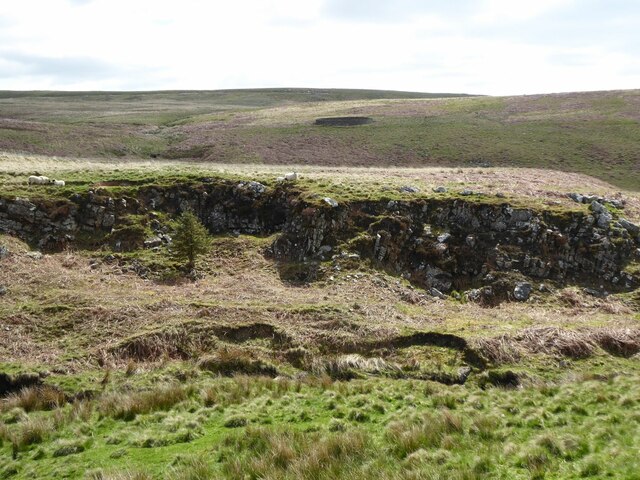
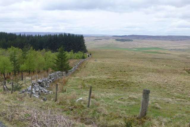
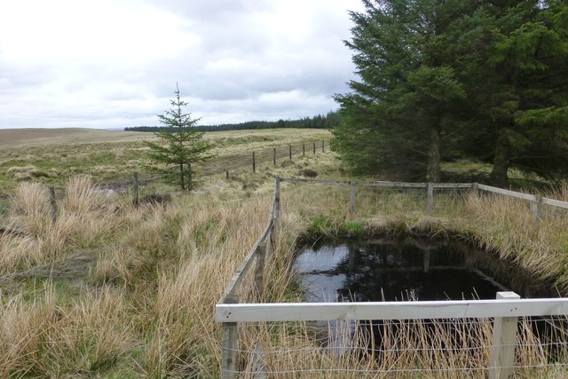
The hill is primarily composed of rugged sandstone, which gives it a distinctive appearance. Its steep slopes are covered in heather, grasses, and small shrubs, creating a rich and diverse habitat for various wildlife species. The area is known for its abundance of upland birds, including red grouse, curlews, and lapwings.

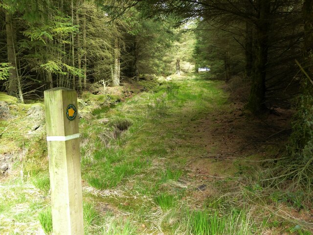
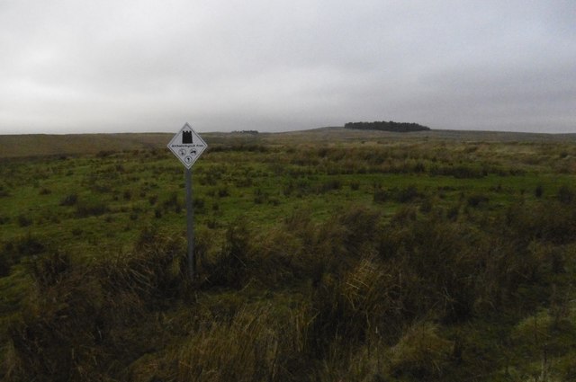
Ridley Crag is a popular destination for hikers and outdoor enthusiasts. Several well-marked trails lead to the summit, providing a challenging yet rewarding climb. The most common route starts from the village of Bardon Mill, offering a gradual ascent through picturesque moorland scenery.

At the top of Ridley Crag, visitors are rewarded with breathtaking views across the North Pennines. On clear days, it is possible to see as far as Hadrian's Wall and the Cheviot Hills to the north. The hill also offers a great vantage point for observing the sunset or capturing stunning landscape photographs.

The surrounding area of Ridley Crag is rich in history and heritage. Nearby attractions include the Roman fort of Vindolanda, where archaeological discoveries have shed light on the lives of Roman soldiers stationed along Hadrian's Wall. Additionally, the famous Sycamore Gap, featured in the film "Robin Hood: Prince of Thieves," is within close proximity.

Overall, Ridley Crag in Northumberland is a captivating hill that combines natural beauty, wildlife, and historical significance, making it a must-visit destination for nature lovers and history enthusiasts alike.

If you have any feedback on the listing, please let us know in the comments section below.
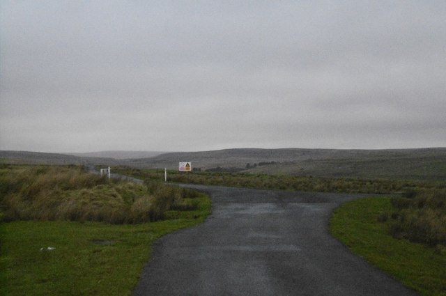
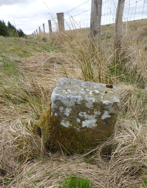
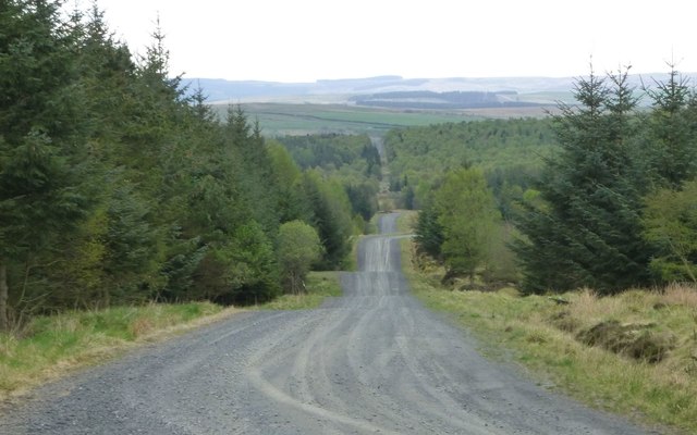
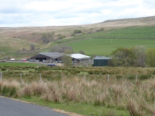
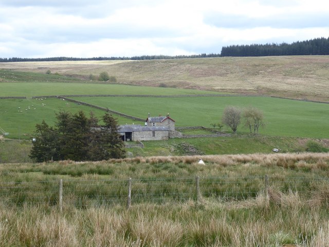
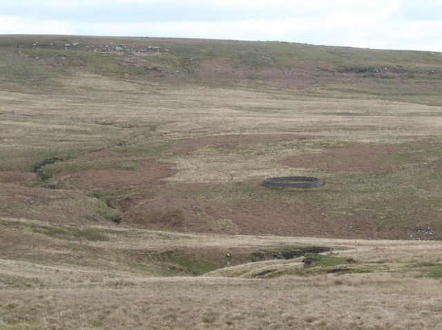
Ridley Crag Images

Images are sourced within 2km of 55.293247/-2.2537076 or Grid Reference NY8399. Thanks to Geograph Open Source API. All images are credited.

Sheep walk on the edge of the crag Over the Little Sills Burn.
A fine sheepfold on the hill beyond.
Sheep walk on the edge of the crag
Over the Little Sills Burn. A fine sheepfold on the hill beyond.
Sheep and sheepfold Across the Little Sills Burn.
Sheep and sheepfold
Across the Little Sills Burn.
Footpath leading out of the forest Towards Corby Pike.
Footpath leading out of the forest
Towards Corby Pike.
Trig point on Corby Pike At 368m with flush bracket number S7922.
Looking up the valley of Sills Burn towards Featherwood, in the trees.
Trig point on Corby Pike
At 368m with flush bracket number S7922. Looking up the valley of Sills Burn towards Featherwood, in the trees.
A shelter on Corby Pike Just a few metres NE of the trig point this appears a shelter for walkers rather than a dilapidated sheepfold.
A shelter on Corby Pike
Just a few metres NE of the trig point this appears a shelter for walkers rather than a dilapidated sheepfold.
High seat Used by marksmen to control roe deer in the woods.
It is considered safer to be shooting downwards.
Several deer crossed the roads but did not wait to be photographed!
High seat
Used by marksmen to control roe deer in the woods. It is considered safer to be shooting downwards. Several deer crossed the roads but did not wait to be photographed!
Forestry road In Stewartshiels Plantation.
Forestry road
In Stewartshiels Plantation.
Rock pile on Lamb Crag Almost a natural stone circle.  No idea how these stones came to be here but it must have taken a lot of effoert.
Rock pile on Lamb Crag
Almost a natural stone circle. No idea how these stones came to be here but it must have taken a lot of effoert.
Archeological area sign, Otterburn Ranges Possibly a replacement for the familiar white star signs - this one is on the site of a Roman camp one of several along Dere Street.
Archeological area sign, Otterburn Ranges
Possibly a replacement for the familiar white star signs - this one is on the site of a Roman camp one of several along Dere Street.
Junction, Otterburn Ranges A road junction - straight on is really straight on as it is on the site of Dere Street, a Roman road heading for the Firth of Forth.
Junction, Otterburn Ranges
A road junction - straight on is really straight on as it is on the site of Dere Street, a Roman road heading for the Firth of Forth.
Edge of Stewartshiels Plantation Christies Bog on the right.
Edge of Stewartshiels Plantation
Christies Bog on the right.
Boundary stone With an 'S' on this, the north west, side and an 'R' on the other.
Boundary stone
With an 'S' on this, the north west, side and an 'R' on the other.
Pond to provide water for fire-fighting  At the highest point of the forest.
Pond to provide water for fire-fighting
At the highest point of the forest.
Forest ride In Stewartshiels Plantation.
Forest ride
In Stewartshiels Plantation.
Silloans Cottage Surrounded by farm buildings.
Beside the Sills Burn and near Dere Street.
Silloans Cottage
Surrounded by farm buildings. Beside the Sills Burn and near Dere Street.
Sills farm A sheep farm.
Downstream from Silloans on the Sills Burn.
Sills farm
A sheep farm. Downstream from Silloans on the Sills Burn.
Sheepfold beside Little Sills Burn On the western slopes of Corby Pike.
Sheepfold beside Little Sills Burn
On the western slopes of Corby Pike.
The valley of the Sills Burn Looking north from 'Brigantium' in Redesdale.
The valley of the Sills Burn
Looking north from 'Brigantium' in Redesdale.
Show me another place!

Ridley Crag is located at Grid Ref: NY8399 (Lat: 55.293247, Lng: -2.2537076)

Unitary Authority: Northumberland

Police Authority: Northumbria

What 3 Words

///condiment.wrong.afflicted. Near Rochester, Northumberland

Related Wikis

Bremenium

Bremenium is an ancient Roman fort (castrum) located at Rochester, Northumberland, England. The fort is one of the defensive structures built along Dere...

Rochester, Northumberland

Rochester is a small village and civil parish in north Northumberland, England. It is 5 miles (8 km) north-west of Otterburn on the A68 road between Corbridge...

Northumberland National Park

Northumberland National Park is the northernmost national park in England. It covers an area of more than 1,050 square kilometres (410 sq mi) between the...

A68 road

The A68 is a major road in the United Kingdom, running from Darlington in England to the A720 in Edinburgh, the capital of Scotland. It crosses the Anglo...

Nearby Amenities

Located within 500m of 55.293247,-2.2537076
Ridley Crag
Place: locality
Lat/Long: 55.2930137/-2.2531746
The data included in this document is from www.openstreetmap.org. The data is made available under ODbL.

Have you been to Ridley Crag?

Leave your review of Ridley Crag below (or comments, questions and feedback).