Gatcombe Hill
Hill, Mountain in Wiltshire
England
Gatcombe Hill
Gatcombe Hill is a prominent hill located in the county of Wiltshire, England. It is part of the wider Cotswolds Area of Outstanding Natural Beauty and lies within the vicinity of the village of Minchinhampton. The hill stands at an elevation of approximately 272 meters (892 feet) above sea level and offers breathtaking views of the surrounding countryside.
Covered in lush greenery, Gatcombe Hill is known for its rich biodiversity and is home to a variety of plant and animal species. The hill is characterized by its gently sloping sides and a relatively flat summit, making it a popular destination for hikers and nature enthusiasts.
The hill holds historical significance as well. It is believed to have been inhabited since the prehistoric era, with evidence of ancient settlements found in the area. The remnants of Iron Age hillforts can be seen on the hill, serving as a reminder of its past.
Gatcombe Hill is a haven for outdoor activities such as walking, hiking, and birdwatching. Many well-maintained footpaths crisscross the hill, providing visitors with opportunities to explore its diverse landscapes and discover its hidden gems. The hill is also a favorite spot for picnics and photography, with its panoramic vistas and picturesque charm attracting visitors throughout the year.
Overall, Gatcombe Hill in Wiltshire is a captivating natural landmark that showcases the beauty and heritage of the region. Whether you seek relaxation, adventure, or a glimpse into the past, this hill offers an unforgettable experience for all who visit.
If you have any feedback on the listing, please let us know in the comments section below.
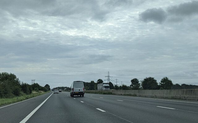
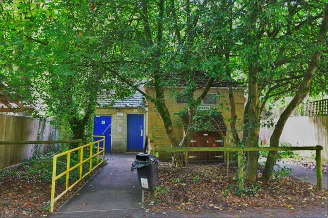
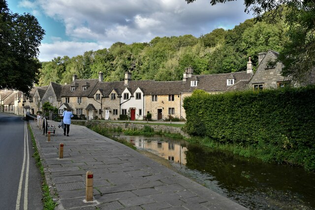
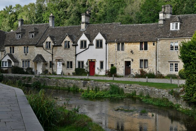
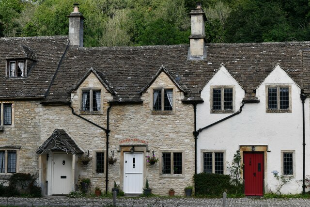
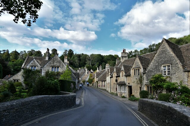
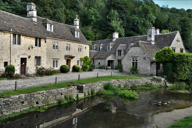
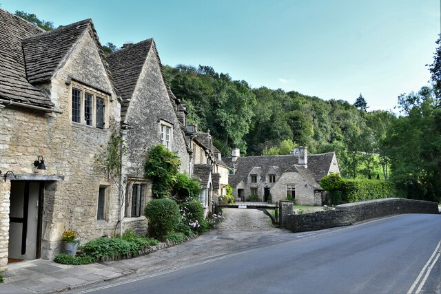
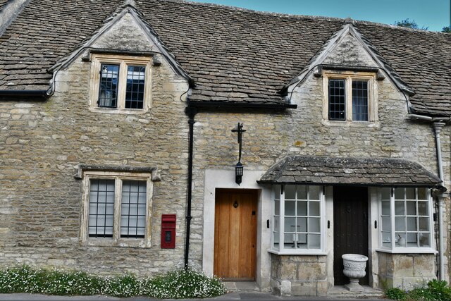
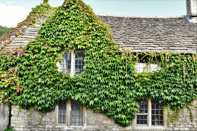
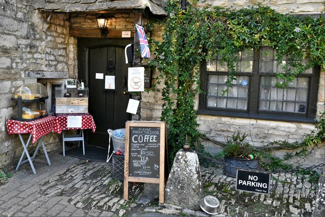
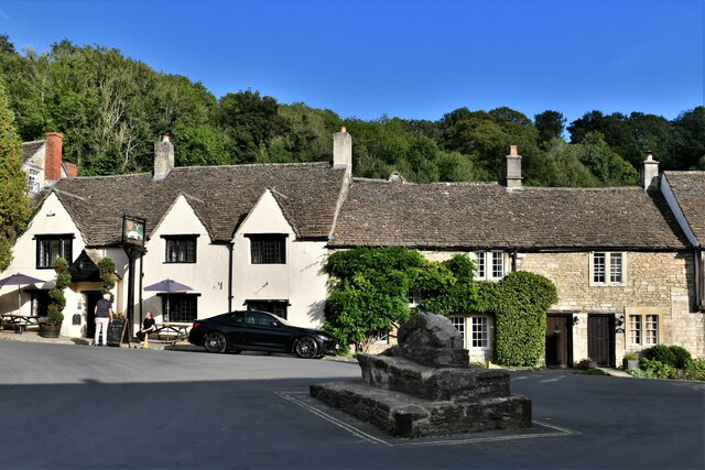
Gatcombe Hill Images
Images are sourced within 2km of 51.508017/-2.2322484 or Grid Reference ST8378. Thanks to Geograph Open Source API. All images are credited.
Gatcombe Hill is located at Grid Ref: ST8378 (Lat: 51.508017, Lng: -2.2322484)
Unitary Authority: Wiltshire
Police Authority: Wiltshire
What 3 Words
///radiates.kicks.importing. Near Nettleton, Wiltshire
Related Wikis

Castle Combe Castle
Castle Combe Castle stood to the north of the village of Castle Combe, Wiltshire, England. The castle was a medieval motte and bailey castle standing on...
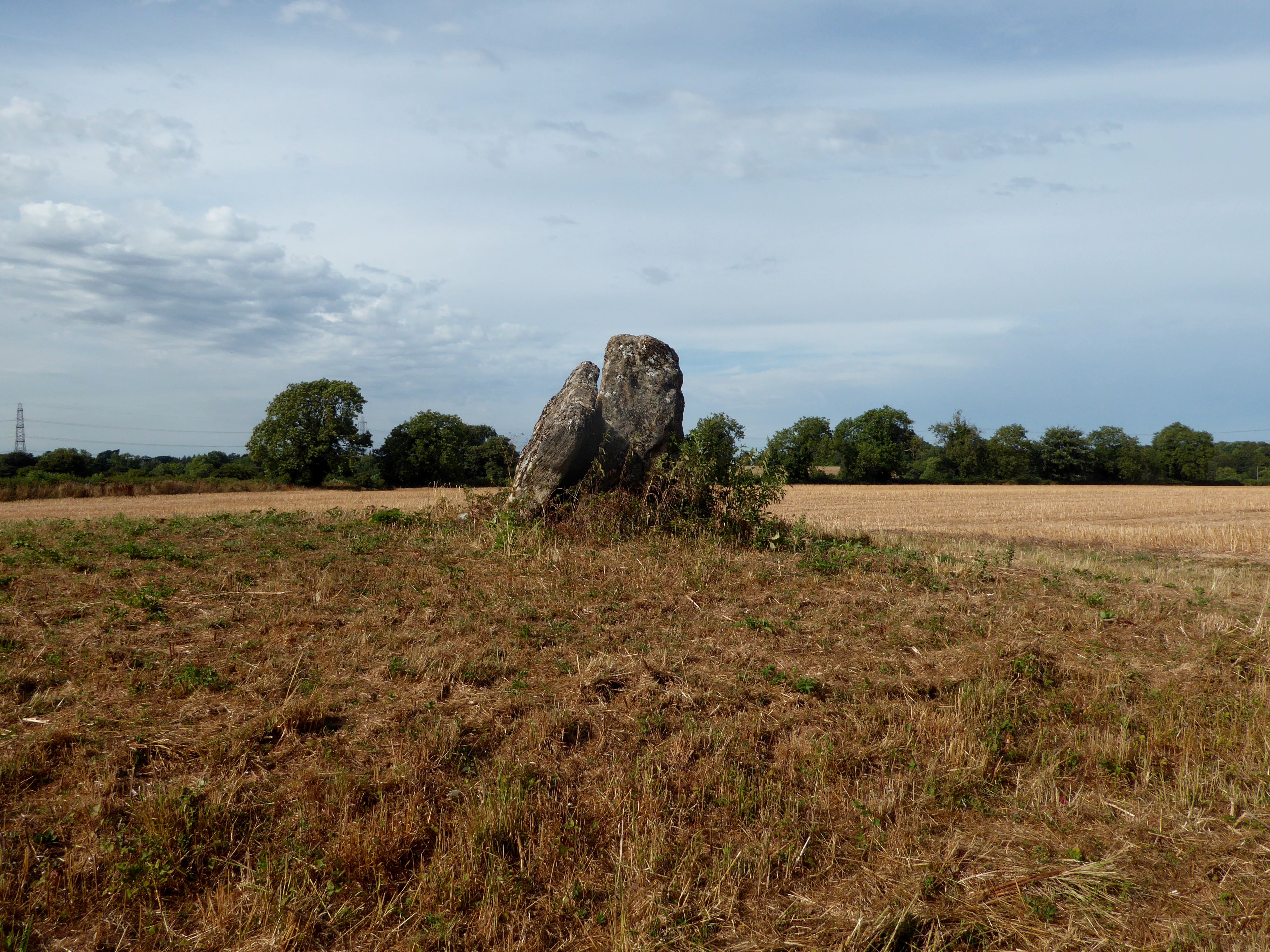
Lugbury Long Barrow
Lugbury Long Barrow is a prehistoric long barrow in Wiltshire, England, about 0.6 miles (1 km) east of Nettleton and about 1 mile (1.6 km) north-west of...
Fosse Farmhouse
Fosse Farmhouse is an 18th-century farmhouse in the English Cotswolds near the Fosse Way and Castle Combe. It is now used to provide hospitality and accommodation...

Nettleton Mill
Nettleton Mill is a mill house in Wiltshire, England, on the banks of the Bybrook River, to the south-east of Nettleton. Part of the Castle Combe estate...

The Manor House, Castle Combe
The Manor House is a 17th-century country house hotel in Castle Combe, Wiltshire in the south of England. == History == The Manor House is noteworthy for...

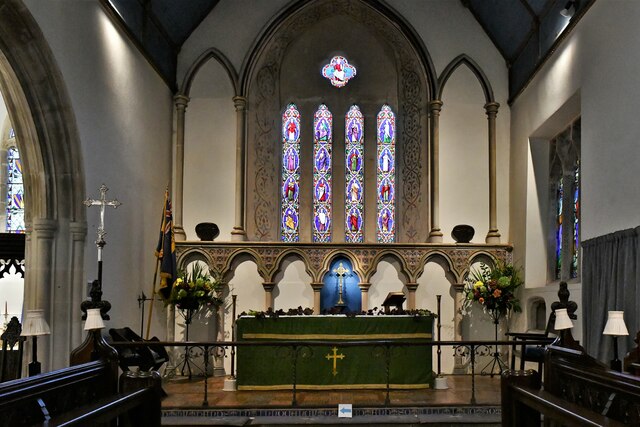
St Andrew's Church, Castle Combe
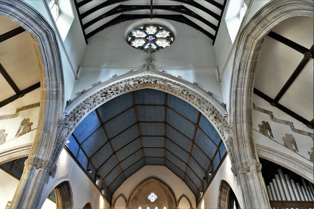
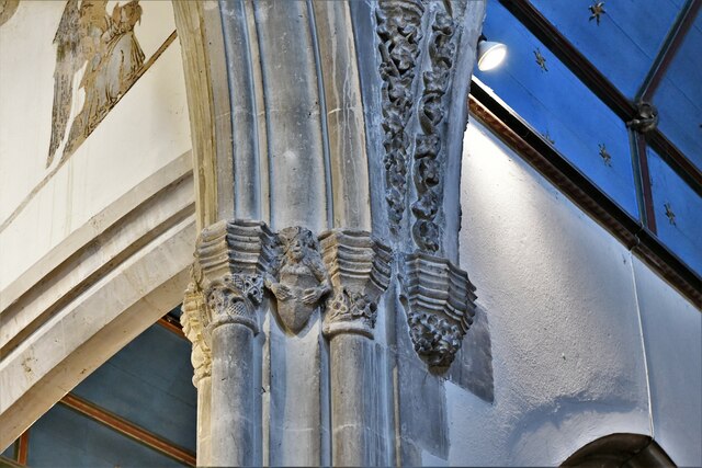
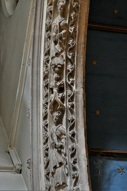
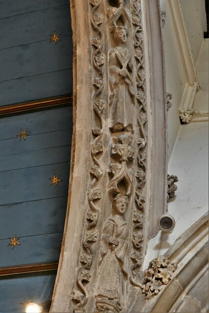
St Andrew's is a parish church in Castle Combe, Wiltshire, England, built in the 13th century with additions in later centuries. It was restored due to...

Castle Combe Clock
The Castle Combe clock in St. Andrew's Church, Castle Combe, Wiltshire, England was probably made in the late 15th century. It is faceless and strikes...
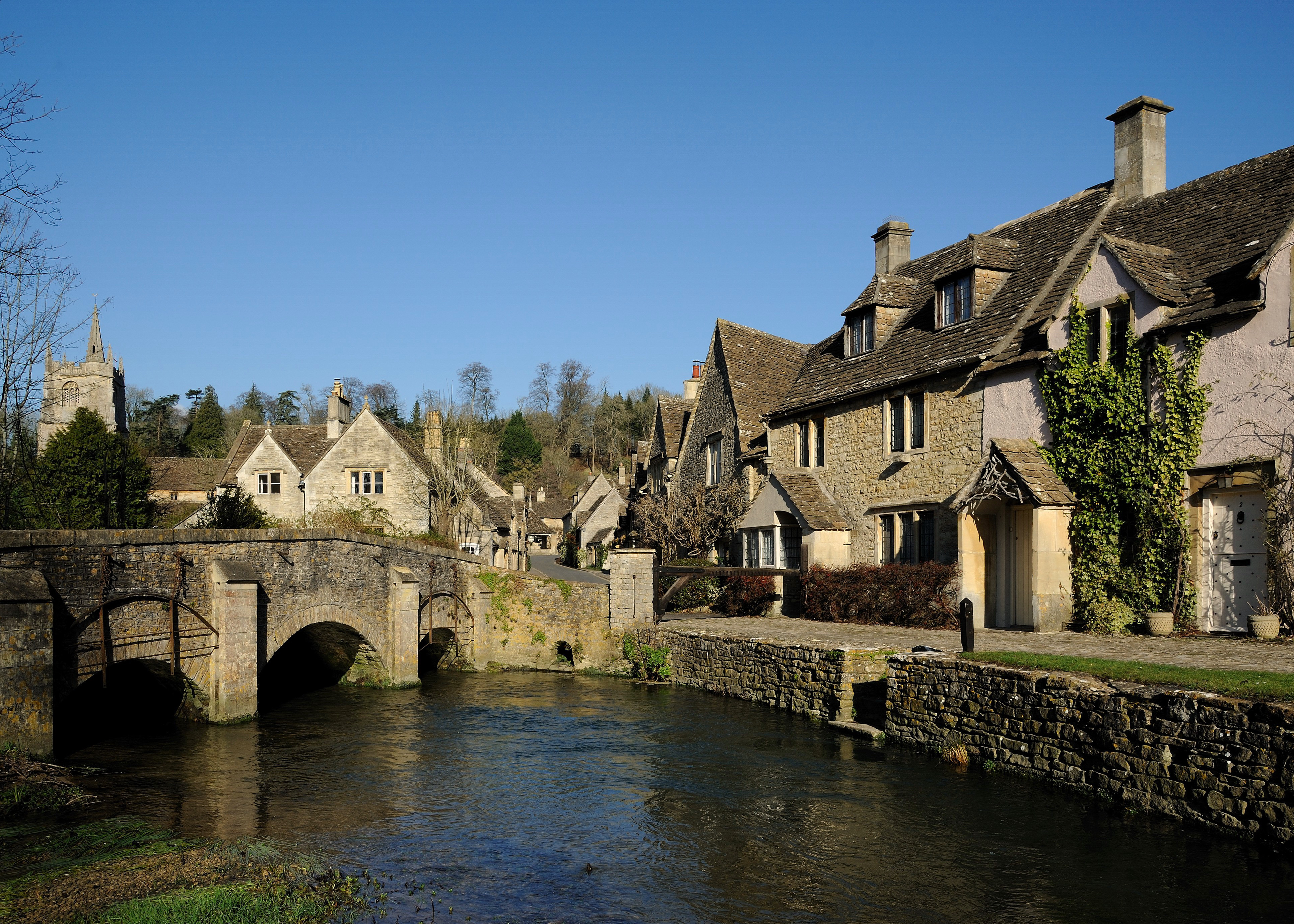
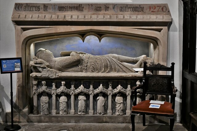
Castle Combe
Castle Combe is a village and civil parish within the Cotswolds Area of Outstanding Natural Beauty in Wiltshire, England. The village is around 5 miles...
Nearby Amenities
Located within 500m of 51.508017,-2.2322484Have you been to Gatcombe Hill?
Leave your review of Gatcombe Hill below (or comments, questions and feedback).