Brown Hill

Hill, Mountain in Lancashire Pendle

England

Brown Hill

Footpath and Stream, Barley The footpath leads onwards up Pendle Hill. The stream has some charming small waterfalls.
Footpath and Stream, Barley Credit: David Bremner

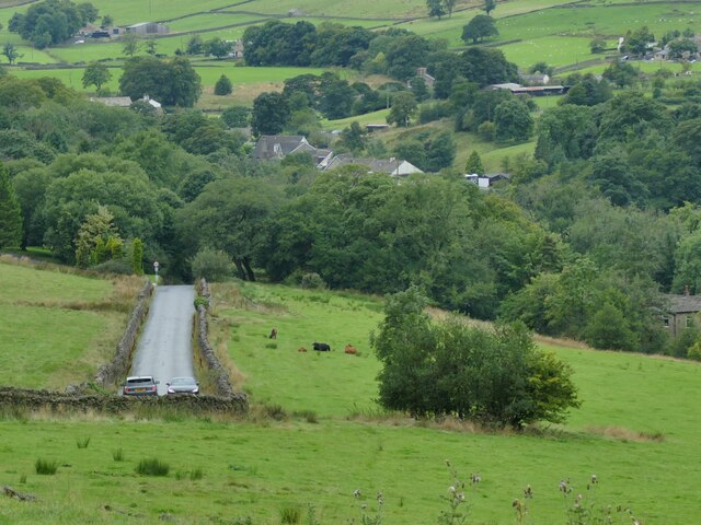
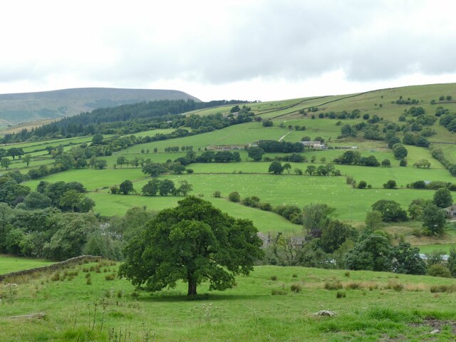
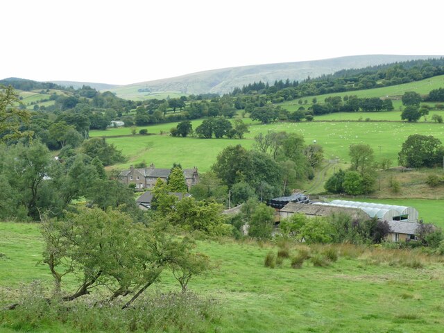
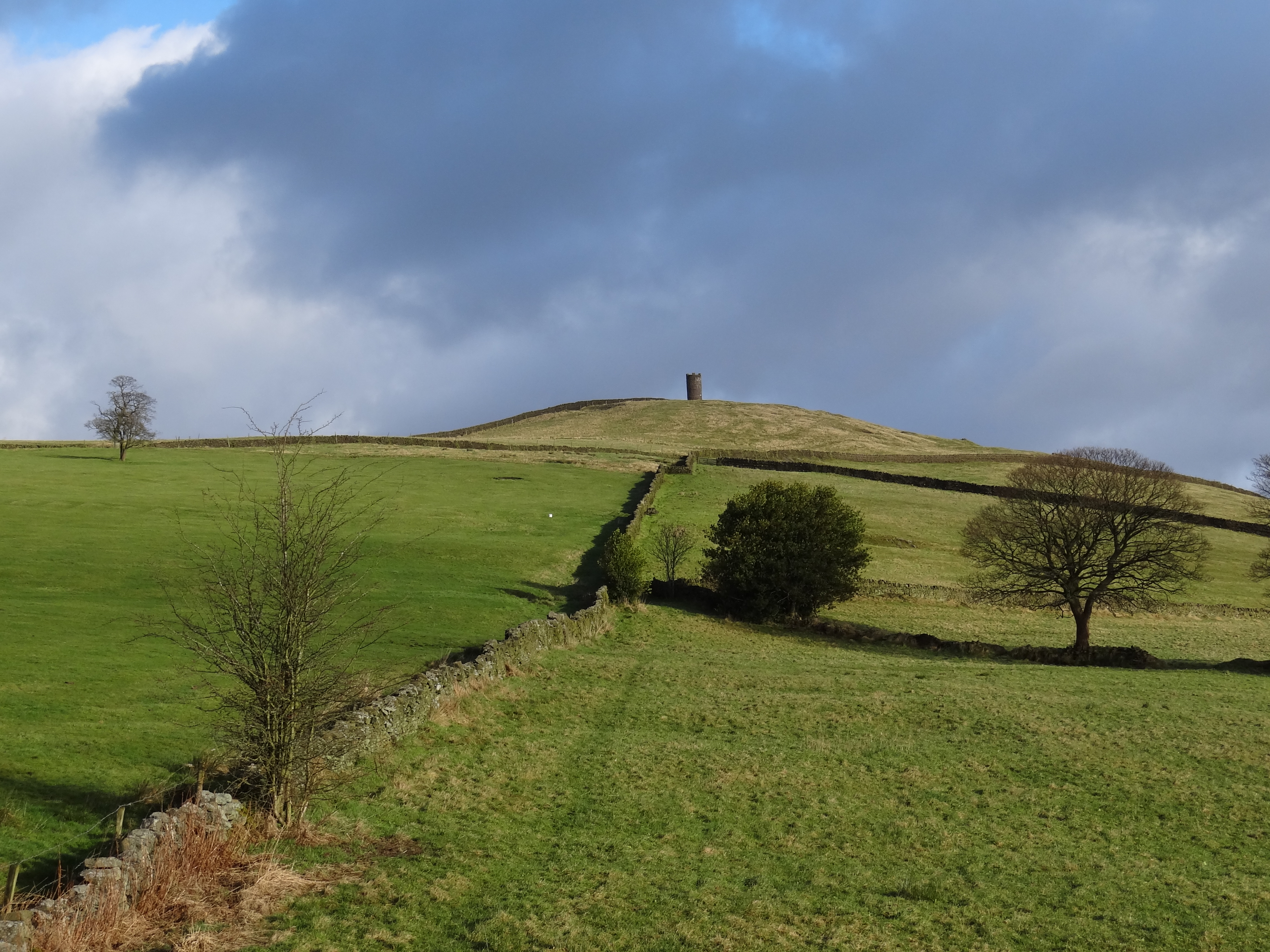
Brown Hill is a prominent geographical feature located in Lancashire, England. Standing at an elevation of approximately 1,391 feet (424 meters), it is considered a hill rather than a mountain due to its modest height. The hill is situated in the South Pennines, within the Rossendale Valley, offering breathtaking panoramic views of the surrounding countryside.

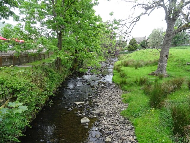
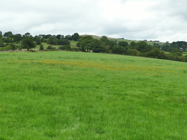
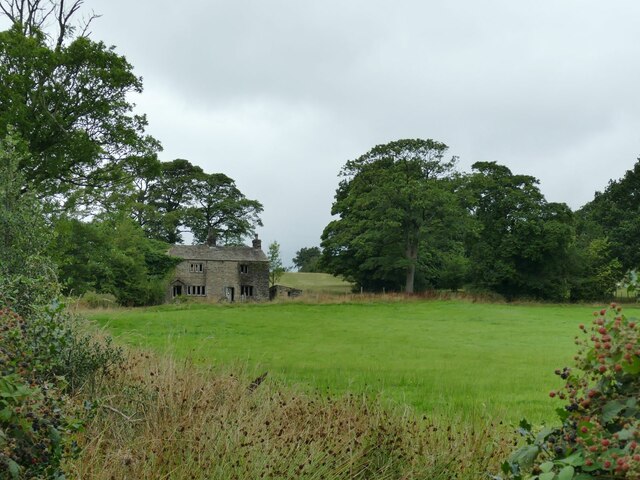
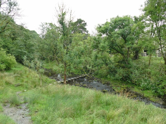
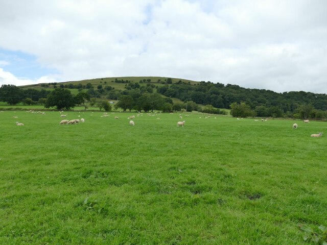
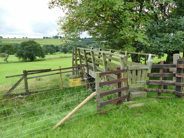
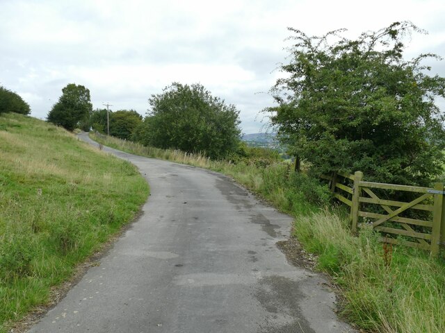
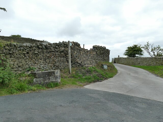
Covered in lush green vegetation, Brown Hill is a popular destination for nature enthusiasts and hikers alike. Its gently sloping terrain makes it relatively accessible, attracting visitors of all ages and fitness levels. The hill is notably distinguished by its distinct brownish color, which is believed to be a result of the presence of iron ore in the soil.

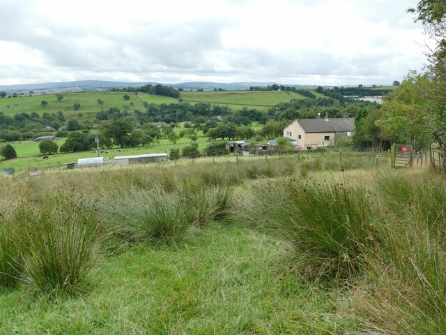
At the summit of Brown Hill, walkers are rewarded with magnificent vistas that stretch across the picturesque Rossendale Valley, showcasing the patchwork of fields, woodlands, and charming villages that characterize the region. On clear days, it is even possible to catch glimpses of distant landmarks such as Pendle Hill and the Yorkshire Dales.

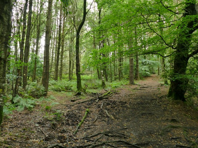
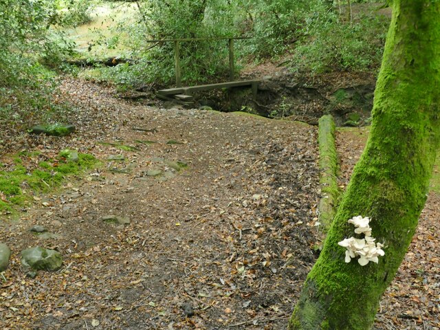
The hill is a haven for wildlife, with a diverse range of flora and fauna calling it home. Visitors may encounter various bird species, including buzzards and kestrels, as well as smaller mammals like rabbits and foxes. The abundance of wildflowers adds a splash of color to the landscape, creating a serene and tranquil atmosphere.

Brown Hill is a cherished natural gem, offering a peaceful escape from the hustle and bustle of everyday life. Whether exploring its trails, photographing its beauty, or simply enjoying a picnic with loved ones, this Lancashire landmark never fails to captivate visitors with its natural charm and scenic allure.

If you have any feedback on the listing, please let us know in the comments section below.
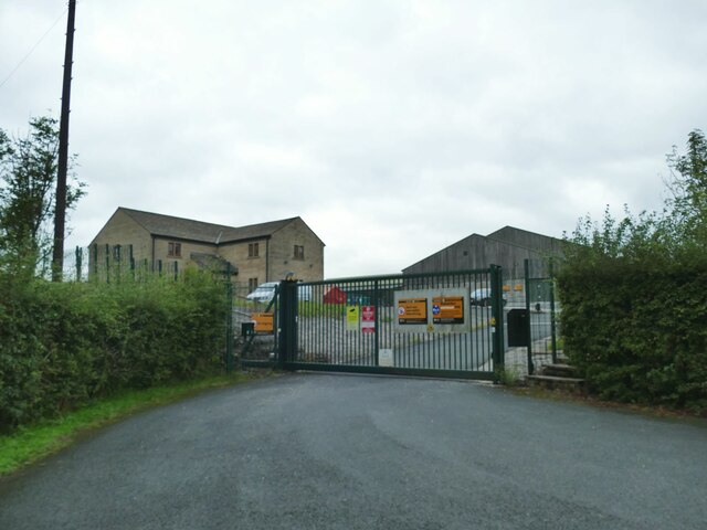
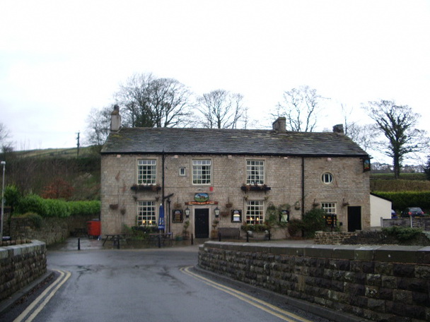
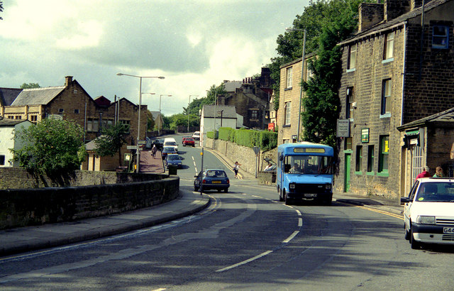
Brown Hill Images

Images are sourced within 2km of 53.865358/-2.245908 or Grid Reference SD8341. Thanks to Geograph Open Source API. All images are credited.

Footpath and Stream, Barley The footpath leads onwards up Pendle Hill. The stream has some charming small waterfalls.
Footpath and Stream, Barley
The footpath leads onwards up Pendle Hill. The stream has some charming small waterfalls.
Barley Water, Barley Looking upstream along Barley Water from Barley Bridge, just prior to the confluence with White Hough Water.
Barley Water, Barley
Looking upstream along Barley Water from Barley Bridge, just prior to the confluence with White Hough Water.
Pendle Inn Inn in the very popular village of Barley.
Pendle Inn
Inn in the very popular village of Barley.
Back of Alice Nutter Statue The commemorative statue by David Palmer, to mark the 400th anniversary of the Pendle Witch Trials. Alice Nutter is in chains but this cloak on her back looks like an instrument of torture
Back of Alice Nutter Statue
The commemorative statue by David Palmer, to mark the 400th anniversary of the Pendle Witch Trials. Alice Nutter is in chains but this cloak on her back looks like an instrument of torture
Field with distant tower The structure on the horizon is Stansfield Tower (also known as Blacko Tower) <a href="https://www.geograph.org.uk/photo/4000070">SD8542 : Stansfield Tower</a>.
Field with distant tower
The structure on the horizon is Stansfield Tower (also known as Blacko Tower) SD8542 : Stansfield Tower.
West Pasture The Pendle Way is supposed, according to the map, to run up this field and past the house. But there was no sign of a worn path on the ground, and most people had clearly taken a diversion to the west to reach Pasture Lane via the gate seen in <a href="https://www.geograph.org.uk/photo/4694358">SD8540 : West Pasture</a>.
West Pasture
The Pendle Way is supposed, according to the map, to run up this field and past the house. But there was no sign of a worn path on the ground, and most people had clearly taken a diversion to the west to reach Pasture Lane via the gate seen in SD8540 : West Pasture.
Ridgaling Water Treatment Works, Barrowford United Utilities opened this treatment works in 2007 to replace a smaller one at Barley. The principal contractor was KMI and the cost a little under £20 million. The treatment works was designed to look like a farmhouse building with associated barns; only the signs on the gate give away its true nature.

Source: <span class="nowrap"><a title="https://www.lancashiretelegraph.co.uk/news/1528549.19m-water-plant-tap/" rel="nofollow ugc noopener" href="https://www.lancashiretelegraph.co.uk/news/1528549.19m-water-plant-tap/">Link</a><img style="margin-left:2px;" alt="External link" title="External link - shift click to open in new window" src="https://s1.geograph.org.uk/img/external.png" width="10" height="10"/></span>
Ridgaling Water Treatment Works, Barrowford
United Utilities opened this treatment works in 2007 to replace a smaller one at Barley. The principal contractor was KMI and the cost a little under £20 million. The treatment works was designed to look like a farmhouse building with associated barns; only the signs on the gate give away its true nature. Source: LinkExternal link
Passing cars on Pasture Lane The hill has some steep sections and tight bends; these two cars met and passed slowly just below the upper steep section.
Passing cars on Pasture Lane
The hill has some steep sections and tight bends; these two cars met and passed slowly just below the upper steep section.
View towards Pendle from the top of Pasture Lane
Roughlee Old Hall and Farm For a closer view of the grade II listed Old Hall itself see <a href="https://www.geograph.org.uk/photo/67348">SD8440 : Roughlee - Old Hall Farm</a>.
Roughlee Old Hall and Farm
For a closer view of the grade II listed Old Hall itself see SD8440 : Roughlee - Old Hall Farm.
Roughlee stepping stones The stones are on the Pendle Way. An easy crossing in a dry summer, but Pendle Water can easily run in spate in wet weather.
Roughlee stepping stones
The stones are on the Pendle Way. An easy crossing in a dry summer, but Pendle Water can easily run in spate in wet weather.
Half a field of sheep A large field (nearly four hectares), quite densely and randomly populated with sheep. This is just part of one side. The Pendle Way passes through the field.
Half a field of sheep
A large field (nearly four hectares), quite densely and randomly populated with sheep. This is just part of one side. The Pendle Way passes through the field.
Footbridge on the Pendle Way below Croft House  It crosses a ditch between two fields, possibly the boundary between Croft House and Hollin Farm, rather than a stream.
Footbridge on the Pendle Way below Croft House
It crosses a ditch between two fields, possibly the boundary between Croft House and Hollin Farm, rather than a stream.
Wet field above Croft House  This only slightly sloping field is just below the steep side of Brown Hill, which probably explains why it is wet.
Wet field above Croft House
This only slightly sloping field is just below the steep side of Brown Hill, which probably explains why it is wet.
The road to Hollin Top A farm access road rather than a public route. The Pendle Way turns right through the gate here and down the hill.
The road to Hollin Top
A farm access road rather than a public route. The Pendle Way turns right through the gate here and down the hill.
Mounting block and signpost on Stang Top Road The signpost indicates the Pendle Way that at this point uses the road to Hollin Top farm.
Mounting block and signpost on Stang Top Road
The signpost indicates the Pendle Way that at this point uses the road to Hollin Top farm.
Pendle Way through White Hough Plantation The Pendle Way is a footpath in the South Pennines which encircles the borough of Pendle. It was officially opened in 1987. The circuit is 45 miles. Its attractions include historical associations with the seventeenth century Pendle Witches, connections with the Brontës, stonebuilt villages in the traditional style of East Lancashire and the South Pennines, relics of the weaving and lead mining industry, and limestone meadows and millstone grit moorland culminating in the ascent of Pendle Hill.
The logo is a witch on a broomstick <a href="https://www.geograph.org.uk/photo/4622234">SD8848 : Every Witch Way</a>
Pendle Way through White Hough Plantation
The Pendle Way is a footpath in the South Pennines which encircles the borough of Pendle. It was officially opened in 1987. The circuit is 45 miles. Its attractions include historical associations with the seventeenth century Pendle Witches, connections with the Brontës, stonebuilt villages in the traditional style of East Lancashire and the South Pennines, relics of the weaving and lead mining industry, and limestone meadows and millstone grit moorland culminating in the ascent of Pendle Hill. The logo is a witch on a broomstick SD8848 : Every Witch Way
Bracket fungus in White Hough Plantation Location approximate; there is a simple plank footbridge in the background but there were at least three of these through the woods.
Bracket fungus in White Hough Plantation
Location approximate; there is a simple plank footbridge in the background but there were at least three of these through the woods.
Show me another place!

Brown Hill is located at Grid Ref: SD8341 (Lat: 53.865358, Lng: -2.245908)

Administrative County: Lancashire

District: Pendle

Police Authority: Lancashire

What 3 Words

///baroness.sensibly.veto. Near Barrowford, Lancashire

Related Wikis

Roughlee

Roughlee is a village in the civil parish of Roughlee Booth, in the Pendle district, in the county of Lancashire, England. It is close to Nelson, Barrowford...

Roughlee Booth

Roughlee Booth is a civil parish located in Pendle, Lancashire. It is approximately 449.43 hectares in size and situated in the Forest of Bowland AONB...

Black Moss Reservoirs

Upper and Lower Black Moss Reservoirs are reservoirs close to the village of Barley, in the Borough of Pendle, close to the market town of Burnley, England...

Barley, Lancashire

Barley is a village in the borough of Pendle, in Lancashire, England. It is in the civil parish of Barley-with-Wheatley Booth. The village lies between...

Blacko

Blacko is a village and civil parish in the Pendle district of Lancashire, England. Before local government reorganisation in 1974 the village lay on...

Barley-with-Wheatley Booth

Barley-with-Wheatley Booth is a civil parish in the Pendle district of Lancashire, England. It has a population of 298, and contains the village of Barley...

Barrowford

Barrowford () is a large village and civil parish in the Pendle district of Lancashire, England, north of Nelson, near the Forest of Bowland Area of Outstanding...

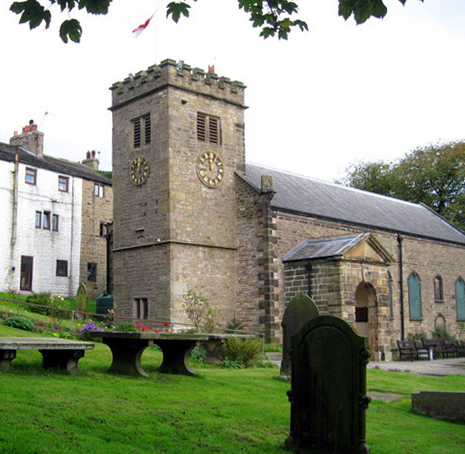
St Mary's Church, Newchurch in Pendle

St Mary's Church is in the village of Newchurch in Pendle, Lancashire, England. The church is recorded in the National Heritage List for England as a...

Nearby Amenities

Located within 500m of 53.865358,-2.245908
Hollin Top
Ele: 312
Natural: peak
Source Ele: height in feet (1022) from npe, converted to metres
Lat/Long: 53.8650522/-2.2462962
Man Made: survey_point
Lat/Long: 53.866462/-2.253038
Barrier: kissing_gate
Material: wood
Source: survey;gps
Lat/Long: 53.8683781/-2.2513189
The data included in this document is from www.openstreetmap.org. The data is made available under ODbL.

Have you been to Brown Hill?

Leave your review of Brown Hill below (or comments, questions and feedback).