Bracklamore Hill

Hill, Mountain in Aberdeenshire

Scotland

Bracklamore Hill

Moorland, Todholes An expanse of low altitude heather.
Moorland, Todholes Credit: Richard Webb

Bracklamore Hill is a prominent geographical feature located in Aberdeenshire, Scotland. As a hill in the region, it offers breathtaking views and a diverse range of flora and fauna, attracting nature enthusiasts and hikers alike. Situated in the eastern part of Aberdeenshire, Bracklamore Hill is easily accessible and serves as a popular destination for outdoor activities.

Spanning an elevation of approximately 700 meters, Bracklamore Hill stands tall amidst the rolling landscapes of Aberdeenshire. Its distinct peak and gently sloping sides make it an appealing landmark in the area. The hill is primarily composed of granite, which gives it a unique appearance and contributes to its overall ruggedness.

The vegetation on Bracklamore Hill is characterized by a mixture of heather moorland and scattered woodland areas. The vibrant purple hues of the blooming heather during the summer months create a stunning contrast against the greenery. The hill is also home to a variety of wildlife, including red deer, mountain hares, and various species of birds.

For outdoor enthusiasts, Bracklamore Hill offers a range of hiking trails that cater to different skill levels. These trails provide an opportunity to explore the diverse terrain and take in the breathtaking views from the summit. On a clear day, visitors can enjoy panoramic vistas of the surrounding countryside, including the nearby Grampian Mountains.

Overall, Bracklamore Hill is a captivating natural feature in Aberdeenshire that offers both recreational opportunities and a chance to connect with the stunning Scottish landscape. Whether it be for a challenging hike or a peaceful stroll, this hill provides an unforgettable experience for all who visit.

If you have any feedback on the listing, please let us know in the comments section below.

Bracklamore Hill Images

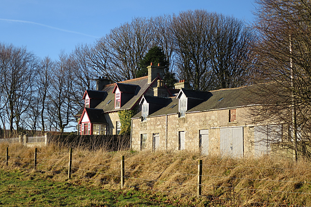
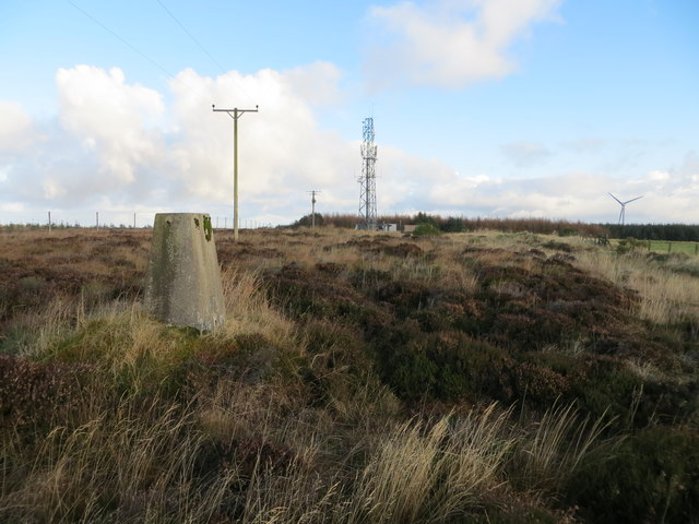
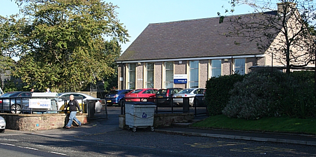
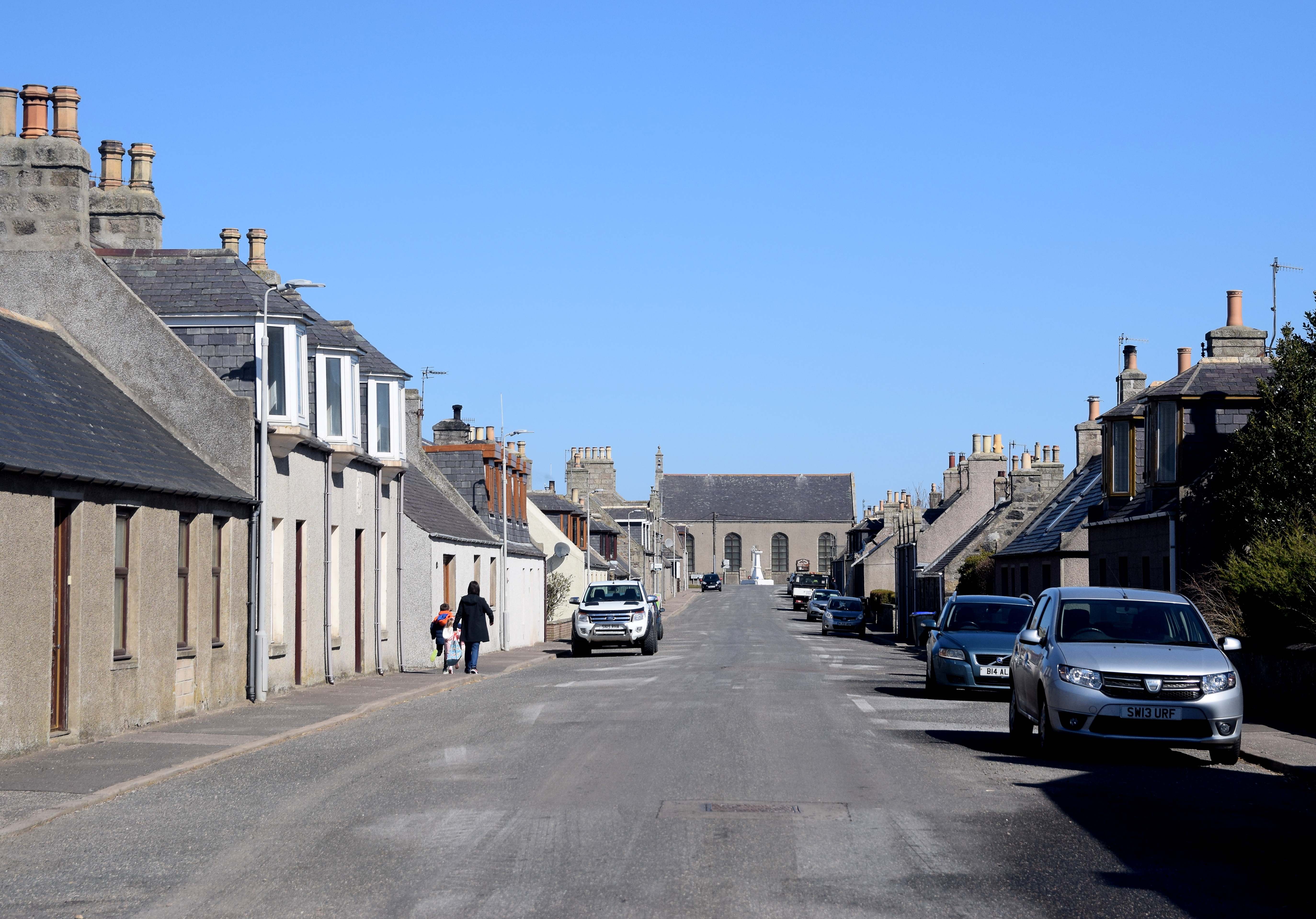
Images are sourced within 2km of 57.619777/-2.274192 or Grid Reference NJ8358. Thanks to Geograph Open Source API. All images are credited.

Moorland, Todholes An expanse of low altitude heather.
Moorland, Todholes
An expanse of low altitude heather.
Bracklamore Fields above mossland.
Bracklamore
Fields above mossland.
Wetland, Bogfold The floor of a reentrant is not draining, leaving rough grassland amongst better drained sloping arable land.
Wetland, Bogfold
The floor of a reentrant is not draining, leaving rough grassland amongst better drained sloping arable land.
Yellow road, Bogfold Young woodland facing spring barley fields.
Yellow road, Bogfold
Young woodland facing spring barley fields.
Young trees, Bogfold Rows of Tuley tube.
Young trees, Bogfold
Rows of Tuley tube.
Glasslaw Burn A road bridge in a dean beneath a landscape of moors and arable farmland. There was a calling chiffchaff here.
Glasslaw Burn
A road bridge in a dean beneath a landscape of moors and arable farmland. There was a calling chiffchaff here.
Looking towards Bracklamore The farm buildings are just inside the next square, but all the foreground is in this square.
Looking towards Bracklamore
The farm buildings are just inside the next square, but all the foreground is in this square.
Scrubland I think there is probably a burn in there somewhere, but even in the dead of winter it's too overgrown to see the burn.
Scrubland
I think there is probably a burn in there somewhere, but even in the dead of winter it's too overgrown to see the burn.
Bracklamore An oddly and atypically lopsided building is falling into ruin by the road below Bracklamore.
Bracklamore
An oddly and atypically lopsided building is falling into ruin by the road below Bracklamore.
New Plantation near Glasslaw Plastic sheaths protect young saplings in regimented straight lines in a newish woodland by the road side.
New Plantation near Glasslaw
Plastic sheaths protect young saplings in regimented straight lines in a newish woodland by the road side.
Den of Glasslaw In eastern Scotland the word 'den' means a steep-sided narrow glen, of which this is a classic example. It is one of the vast number of glacial meltwater channels in north-east Scotland, formed at the end of the last Ice Age.
Den of Glasslaw
In eastern Scotland the word 'den' means a steep-sided narrow glen, of which this is a classic example. It is one of the vast number of glacial meltwater channels in north-east Scotland, formed at the end of the last Ice Age.
Glasslaw The traditional house and farm buildings stand beside the minor road.
Glasslaw
The traditional house and farm buildings stand beside the minor road.
Hill of Fishrie (or Fisherie) Miscellany Looking north-eastward. The view includes a Triangulation Pillar, Communications Mast, Power Lines and Wind Turbine.
Hill of Fishrie (or Fisherie) Miscellany
Looking north-eastward. The view includes a Triangulation Pillar, Communications Mast, Power Lines and Wind Turbine.
Glasslaw View northwest along the river
Glasslaw
View northwest along the river
Track to Bracklamore View northwest
Track to Bracklamore
View northwest
Looking  north near Bracklamore
Looking north near Bracklamore
Grey wagtail 3 In NJ8559
Grey wagtail 3
In NJ8559
Show me another place!

Bracklamore Hill is located at Grid Ref: NJ8358 (Lat: 57.619777, Lng: -2.274192)

Unitary Authority: Aberdeenshire

Police Authority: North East

What 3 Words

///lamps.small.polygraph. Near New Pitsligo, Aberdeenshire

Nearby Locations

Bracklamore Hill

Related Wikis

Netherbrae

Netherbrae is an area of farmland and small crofts in Aberdeenshire, Scotland. It is approximately 8 miles (13 km) north of Turriff and 9 miles (14 km...

Crudie

Crudie is a settlement in Aberdeenshire, Scotland. It is situated on the A98. It has a primary school and a war memorial. == References ==

New Byth

New Byth is a small inland planned village in the Banff and Buchan committee area of Aberdeenshire, Scotland, that lies a few miles northeast of Cuminestown...

New Pitsligo

New Pitsligo (Scots: Pitsligae), also known as Cavoch (locally Cyaak), is a village in Aberdeenshire, Scotland, quite near Fraserburgh. == Overview... ==

Dubford

Dubford is a small village in northern coastal Aberdeenshire, Scotland. Dubford is situated along the B9031 road approximately 6 kilometres (3.7 mi) east...

Auchmeddan Castle

Auchmeddan Castle was a castle, most likely dating from the 16th century, now demolished, located 9 miles (14 km) west of Fraserburgh, at Mains of Auchmeddan...

New Aberdour

New Aberdour is a small planned village in the Aberdour parish of Aberdeenshire, Scotland, situated south of Aberdour Bay on the Moray Firth. It lies 7...

Pennan

Pennan (Scots: Peenan) is a small village in Aberdeenshire, Scotland, consisting of a small harbour and a single row of homes, including a hotel. It is...

Nearby Amenities

Located within 500m of 57.619777,-2.274192
Bracklamore Hill
Natural: peak
Lat/Long: 57.6199997/-2.2734851
The data included in this document is from www.openstreetmap.org. The data is made available under ODbL.

Have you been to Bracklamore Hill?

Leave your review of Bracklamore Hill below (or comments, questions and feedback).