Black Hill
Hill, Mountain in Roxburghshire
Scotland
Black Hill
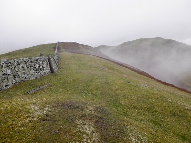
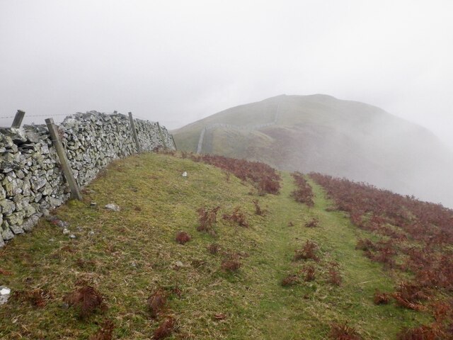
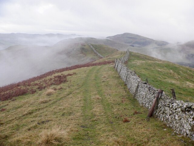
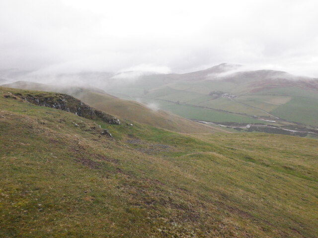
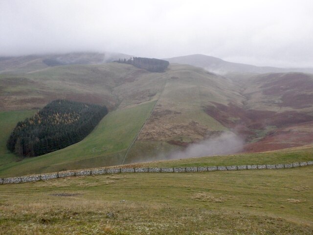
Black Hill is a prominent hill located in Roxburghshire, a historic county in the Scottish Borders region of Scotland. Rising to a height of approximately 571 meters (1,873 feet), it is a notable landmark in the area and is a popular destination for hikers and outdoor enthusiasts.
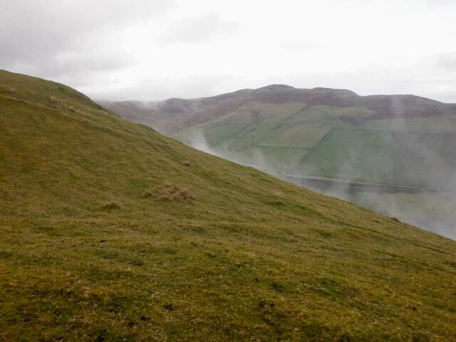
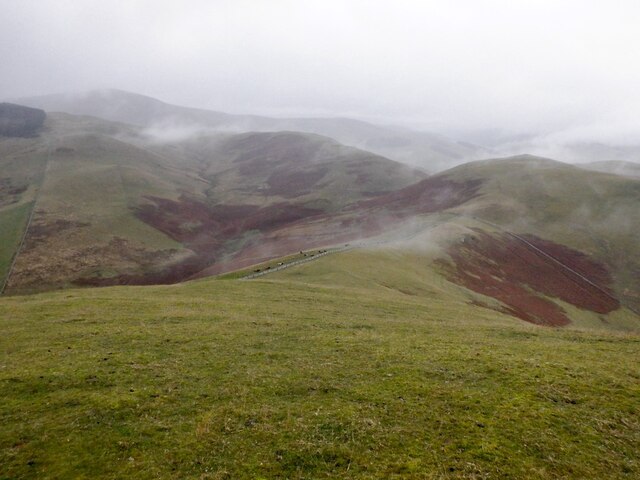
Situated near the village of Oxnam, Black Hill offers breathtaking panoramic views of the surrounding countryside. Its position allows visitors to admire the picturesque valleys, rolling hills, and distant mountains that stretch across the landscape. On clear days, it is even possible to see as far as the Cheviot Hills and the Northumberland National Park.
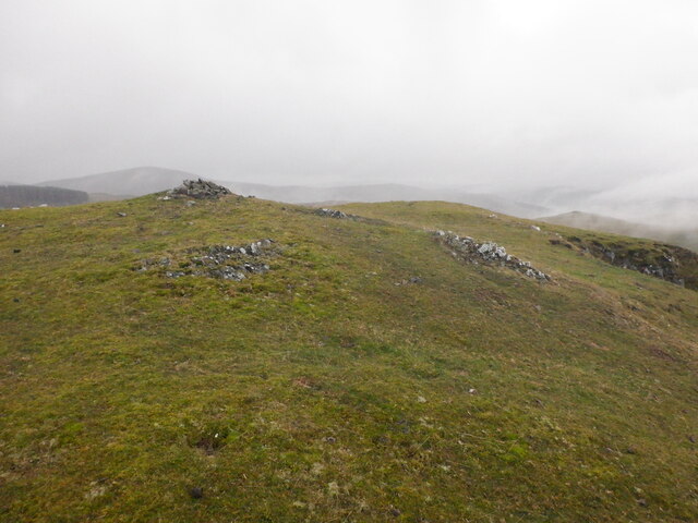
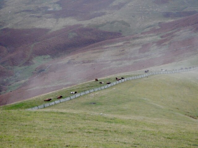
The hill itself is characterized by its rugged terrain, with steep slopes and rocky outcrops adding to its natural beauty. It is covered in a mixture of grasses, heather, and bracken, creating a diverse and colorful landscape throughout the seasons.
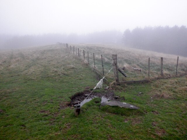
Hikers can access Black Hill via several well-marked trails that lead to the summit. The most popular route starts from the village of Oxnam and follows a well-maintained path through fields and woodlands before ascending the hill. It is a moderately challenging hike, suitable for those with a reasonable level of fitness.
At the top, there is a small cairn, providing a sense of accomplishment for those who reach the summit. The views from this vantage point are truly awe-inspiring, making the effort well worth it.
Overall, Black Hill in Roxburghshire offers visitors a chance to experience the beauty of the Scottish Borders, with its stunning views and challenging hikes, making it a must-visit destination for nature lovers and outdoor enthusiasts.
If you have any feedback on the listing, please let us know in the comments section below.
Black Hill Images
Images are sourced within 2km of 55.505684/-2.2669948 or Grid Reference NT8323. Thanks to Geograph Open Source API. All images are credited.


Black Hill is located at Grid Ref: NT8323 (Lat: 55.505684, Lng: -2.2669948)
Unitary Authority: The Scottish Borders
Police Authority: The Lothians and Scottish Borders
What 3 Words
///swing.headstone.wolves. Near Kirknewton, Northumberland
Nearby Locations
Related Wikis

Mowhaugh
Mowhaugh is a hamlet and farm steading near the Calroust Burn and the Bowmont Water, near Morebattle, in the Scottish Borders area of Scotland, and in...

Town Yetholm
Town Yetholm ('town yet-ham') is a small village in the Scottish Borders in the valley of the Bowmont Water opposite Kirk Yetholm. The town colours are...

Kirk Yetholm
Kirk Yetholm ('kirk yet-ham') is a village in the Scottish Borders region of Scotland, 8 miles (13 kilometres) southeast of Kelso and less than 1 mile...

Yetholm
Yetholm is the parish that contained the villages of Kirk Yetholm and Town Yetholm in the east of the former county of Roxburghshire, nowadays in the Scottish...
Nearby Amenities
Located within 500m of 55.505684,-2.2669948Have you been to Black Hill?
Leave your review of Black Hill below (or comments, questions and feedback).