Campstone Hill
Hill, Mountain in Kincardineshire
Scotland
Campstone Hill
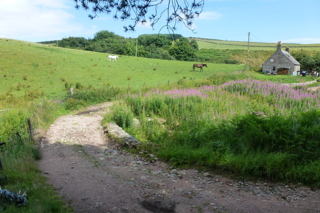
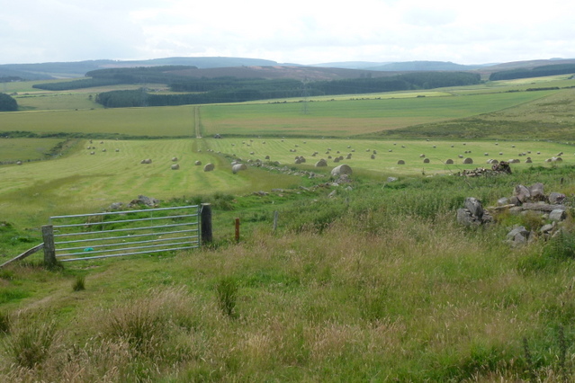
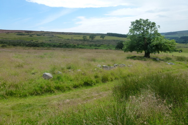
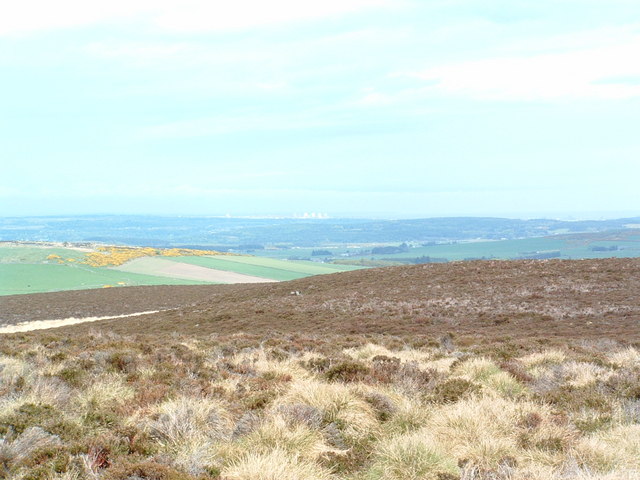
Campstone Hill, located in Kincardineshire, is a prominent hill/mountain that boasts breathtaking natural beauty and offers a range of recreational activities for outdoor enthusiasts. Standing at an elevation of approximately 390 meters (1,280 feet), it is a popular destination for hikers, climbers, and nature lovers.
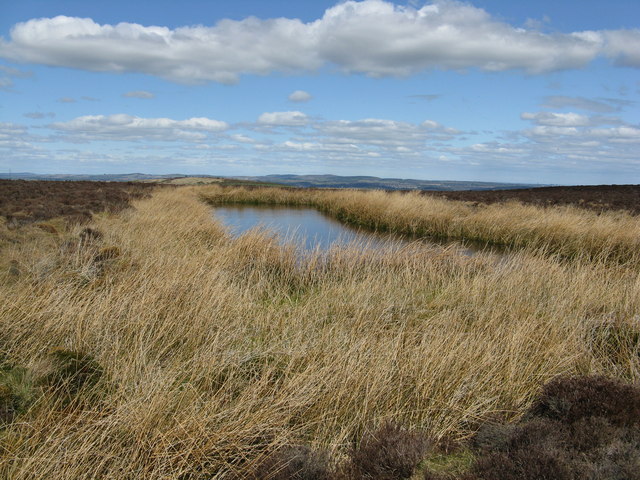
The hill's distinct shape and rocky terrain make it a challenging yet rewarding destination for climbers. Its slopes are adorned with vibrant heather and moss, providing a picturesque backdrop for those ascending its summit. As hikers make their way up, they are rewarded with stunning panoramic views of the surrounding countryside, including the Mearns Valley, the North Sea, and the Grampian Mountains.
Campstone Hill is also home to an abundance of wildlife, including red deer, mountain hares, and various bird species. Birdwatchers flock to the area to catch glimpses of buzzards, kestrels, and peregrine falcons soaring through the skies.
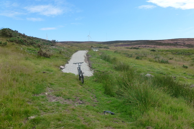
Aside from its natural beauty, the hill offers a network of well-maintained trails that cater to different skill levels. These trails provide opportunities for leisurely walks, invigorating hikes, and even mountain biking. Additionally, the hill is equipped with picnic areas and benches, allowing visitors to relax and enjoy the peaceful surroundings.
Due to its accessibility and diverse range of activities, Campstone Hill attracts visitors from all walks of life. Whether one seeks adventure, tranquility, or a chance to connect with nature, this majestic hill/mountain in Kincardineshire is sure to leave a lasting impression.
If you have any feedback on the listing, please let us know in the comments section below.
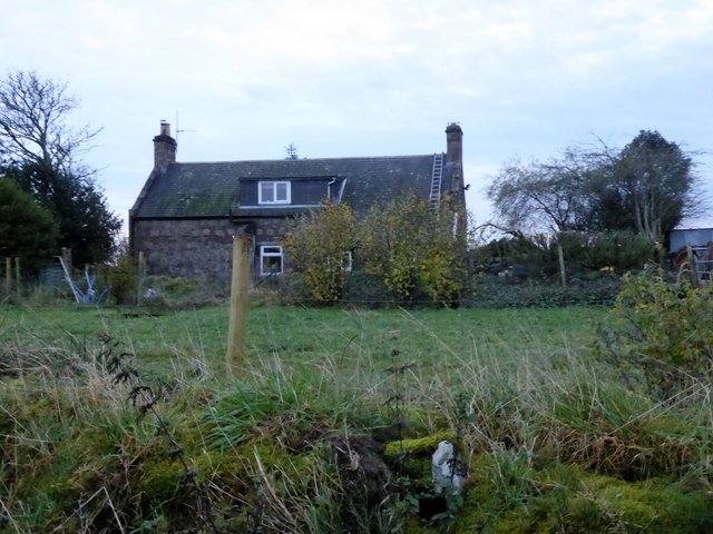
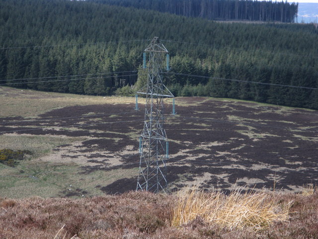
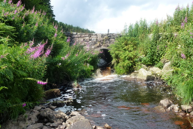
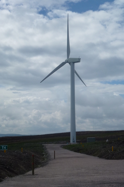
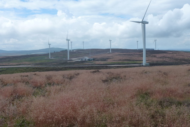
Campstone Hill Images
Images are sourced within 2km of 57.006943/-2.2779451 or Grid Reference NO8390. Thanks to Geograph Open Source API. All images are credited.


Campstone Hill is located at Grid Ref: NO8390 (Lat: 57.006943, Lng: -2.2779451)
Unitary Authority: Aberdeenshire
Police Authority: North East
What 3 Words
///surnames.stepping.nimbly. Near Stonehaven, Aberdeenshire
Nearby Locations
Related Wikis
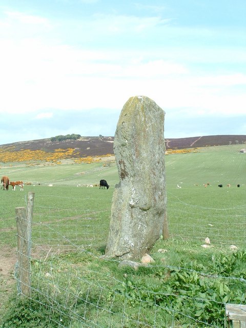
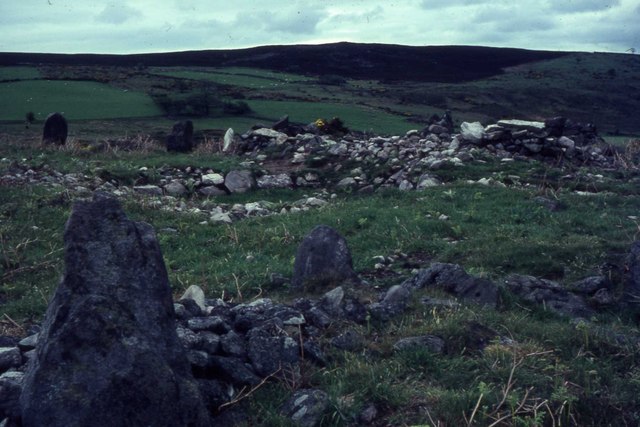
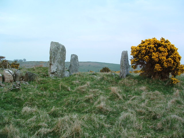
Lang Stane of Auquhollie
The Lang Stane of Auquhollie is an Ogam-inscribed standing stone some 6 kilometres north-west of Stonehaven in Scotland. Situated on south side of Meikle...

Saddle Hill (Aberdeenshire)
Saddle Hill is a low lying mountain in eastern Aberdeenshire, Scotland within the Mounth Range of the Grampian Mountains. Its peak is 241 metres (791...
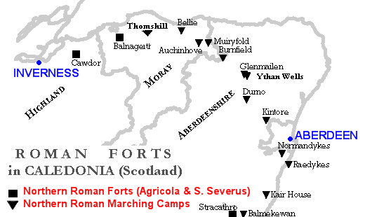
Raedykes
Raedykes is the site of a Roman marching camp located just over three miles (five kilometres) northwest of Stonehaven, Aberdeenshire, Scotland. National...

Curlethney Hill
Curlethney Hill is a landform in Aberdeenshire, Scotland within the Mounth Range of the Grampian Mountains. (Grid Reference NO 918 839) The peak elevation...

Meikle Carewe Hill
Meikle Carewe Hill is a landform in Aberdeenshire, Scotland within the Mounth Range of the Grampian Mountains. (Grid Reference NO 921 828) The peak elevation...

Cowton Burn
Cowton Burn is a stream that rises in the Mounth, or eastern range of the Grampian Mountains, on some of the northwest slopes of the Durris Forest west...

Rickarton House
Rickarton House is a 19th-century country house in Kincardineshire, Scotland. It lies approximately three-and-a-half miles northwest of Stonehaven in the...

Rickarton
Rickarton is a settlement in Aberdeenshire. It is situated on the A957 to the northwest of Stonehaven. Rickarton was served by the 105 bus between Stonehaven...
Nearby Amenities
Located within 500m of 57.006943,-2.2779451Have you been to Campstone Hill?
Leave your review of Campstone Hill below (or comments, questions and feedback).