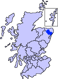
Back Hill

Hill, Mountain in Aberdeenshire

Scotland

Back Hill

Lots of road instructions here
Lots of road instructions here Credit: Ralph Greig

Back Hill is a prominent hill located in Aberdeenshire, Scotland. Situated in the eastern part of the country, it forms part of the scenic landscape of the region. With an elevation of approximately 447 meters (1,467 feet), it is considered a hill rather than a mountain, but still offers breathtaking views of the surrounding countryside.

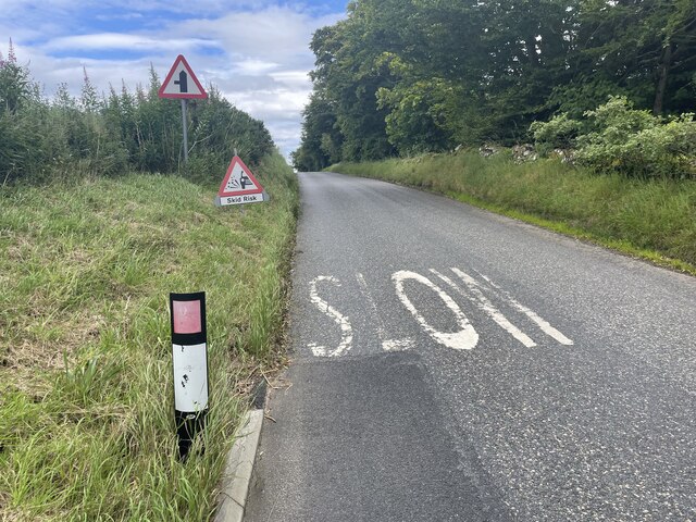
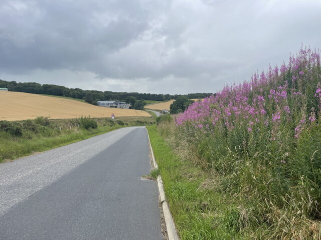
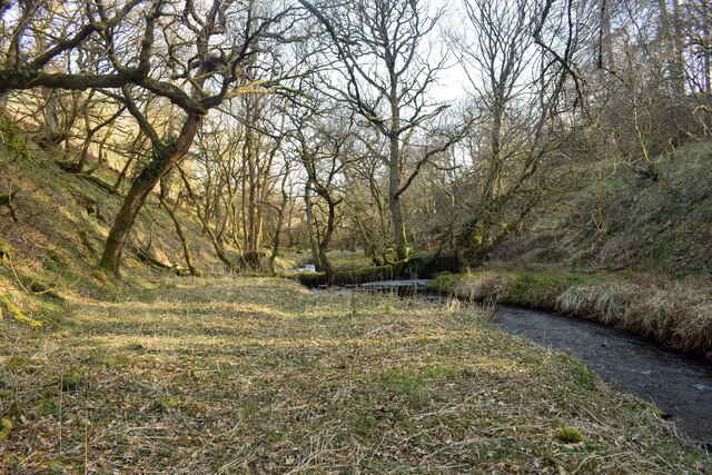
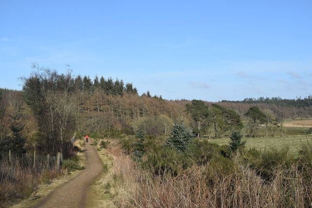
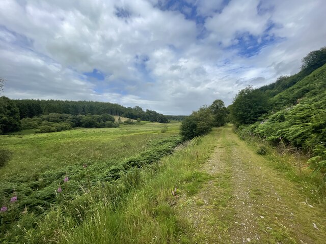
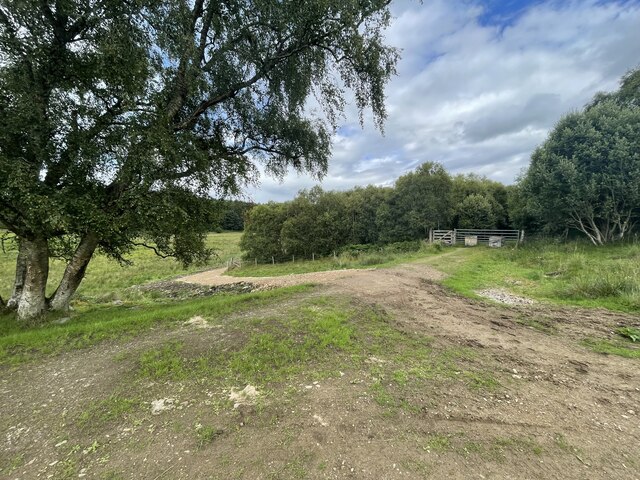
The hill is characterized by its rolling terrain and verdant vegetation, consisting mainly of grasses, heather, and scattered shrubs. Its slopes are moderately steep, making it a popular destination for hikers and outdoor enthusiasts seeking a moderate challenge. There are several well-defined paths that lead to the summit, providing visitors with various options for exploration.

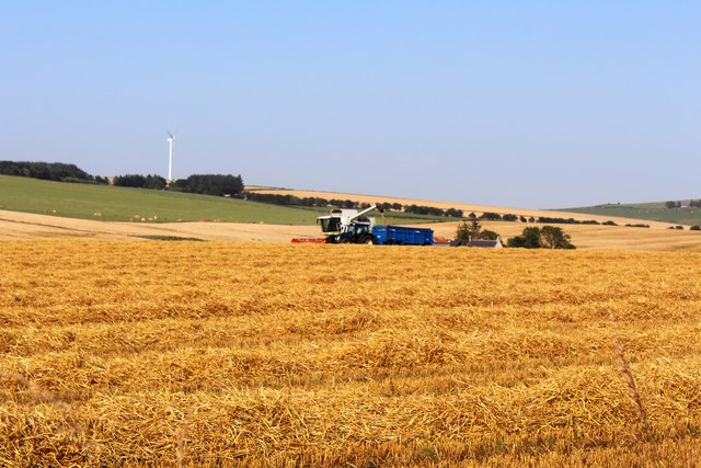
At the top of Back Hill, visitors are rewarded with panoramic views of the Aberdeenshire countryside, including the nearby towns and villages, farmland, and distant hills. On clear days, it is even possible to catch a glimpse of the North Sea in the east.

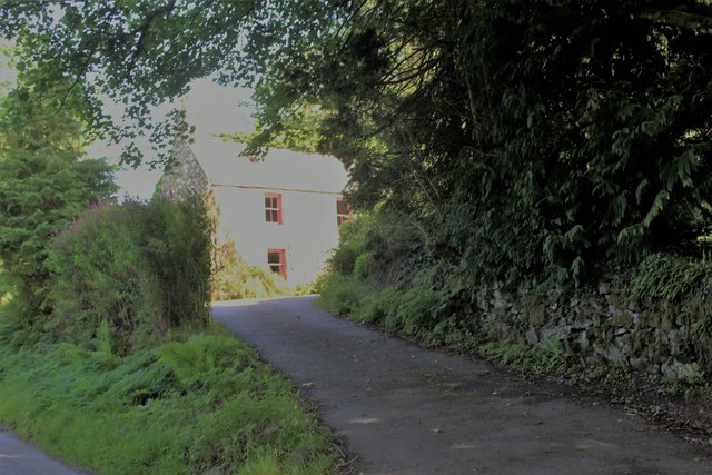
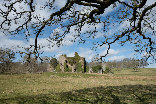
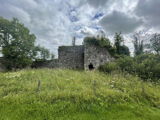
Back Hill is also known for its rich history and archaeological significance. The remains of ancient settlements and burial sites have been discovered in the vicinity, providing valuable insights into the region's past. These historical remnants add to the allure of the hill, attracting those with an interest in the area's heritage.

Overall, Back Hill in Aberdeenshire offers a picturesque and rewarding experience for nature lovers and history buffs alike. Its natural beauty, combined with its historical significance, makes it a must-visit destination for anyone exploring the region.

If you have any feedback on the listing, please let us know in the comments section below.
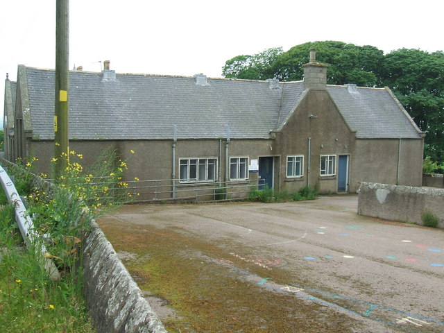
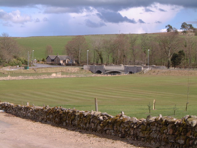
Back Hill Images

Images are sourced within 2km of 57.456345/-2.2844324 or Grid Reference NJ8340. Thanks to Geograph Open Source API. All images are credited.

Lots of road instructions here
Road to Fyvie
Road to Fyvie
The lane to Lethenty
Turfhillock Farm The access road and lower building at Turfhillock.
Turfhillock Farm
The access road and lower building at Turfhillock.
Bruckleseat Track A side road from Asleid to Brickleseat.
Bruckleseat Track
A side road from Asleid to Brickleseat.
Asleid House Farm The farm buildings of Asleid House with barley in front.
Asleid House Farm
The farm buildings of Asleid House with barley in front.
Waterside of Gight Waterside with a narrow access and sheltering trees.
Waterside of Gight
Waterside with a narrow access and sheltering trees.
Harvest by North Ardo Farming activity by North Ardo.
Harvest by North Ardo
Farming activity by North Ardo.
Beside the Burn of Stonehouse Its confluence with the River Ythan is a few hundred metres downstream but here it passes through a deep valley, almost a ravine.
Beside the Burn of Stonehouse
Its confluence with the River Ythan is a few hundred metres downstream but here it passes through a deep valley, almost a ravine.
Walking the path... ...through Badiebath Wood.   According to Celtic Place-names in Aberdeenshire by John Milne, 'Badiebath' means 'grove of birch trees'.
Walking the path...
...through Badiebath Wood. According to Celtic Place-names in Aberdeenshire by John Milne, 'Badiebath' means 'grove of birch trees'.
Gight Castle The ruins of the castle from under an old tree where I would recommend you have your picnic.
Gight Castle
The ruins of the castle from under an old tree where I would recommend you have your picnic.
Old Road into Gight
Old Road into Gight
Gight Castle
Gight Castle
Whisky Pot Either a fishing spot or a Whisky stop.
I'm no fisherman :)
Whisky Pot
Either a fishing spot or a Whisky stop. I'm no fisherman :)
Paths of Gight
Paths of Gight
Paths of Gight
Paths of Gight
New Road Doesn't go anywhere
New Road
Doesn't go anywhere
Bridge over the Ythan
Show me another place!

Back Hill is located at Grid Ref: NJ8340 (Lat: 57.456345, Lng: -2.2844324)

Unitary Authority: Aberdeenshire

Police Authority: North East

What 3 Words

///snooping.exonerate.quibble. Near Rothienorman, Aberdeenshire

Nearby Locations

Back Hill

Related Wikis

Gight

Gight is the name of an estate in the parish of Fyvie in the Formartine area of Aberdeenshire, Scotland, United Kingdom. It is best known as the location...

Cairnorrie

Cairnorrie is a rural settlement in the Formartine area of Aberdeenshire, Scotland, situated on the B9170 road between Methlick and New Deer. The primary...

Methlick

Methlick (Gaelic: Maothulach) is a village in the Formartine area of Aberdeenshire, Scotland, situated on the River Ythan 11.2 kilometres (7.0 mi) north...

Woodhead, Aberdeenshire

Woodhead of Fyvie, often simply called "Woodhead", is an inland hamlet in Formartine, Aberdeenshire, Scotland, that lies to the east of Fyvie near the...

Backhill

Backhill is a rural area near Woodhead of Fyvie in Aberdeenshire, Scotland. == References ==

Tifty, Aberdeenshire

Tifty is near Turriff, Aberdeenshire, Scotland. == References ==

Formartine

Formartine (Scottish Gaelic: Fearann MhĂ rtainn meaning "Martin's land") is a committee area in Aberdeenshire, Scotland. This district extends north from...

Fyvie Castle

Fyvie Castle is a castle in the village of Fyvie, near Turriff in Aberdeenshire, Scotland. == History == The earliest parts of Fyvie Castle date from the...

Related Videos

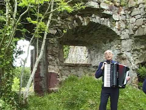
Sandy Reid - Gight Castle

A visit to Gight Castle with an accordion tune of the same name from the Ross Records video Sandy Reid - A Country Loon at ...

Nearby Amenities

Located within 500m of 57.456345,-2.2844324
Power: pole
Lat/Long: 57.4547813/-2.2766708
Power: pole
Lat/Long: 57.4550153/-2.2779267
Power: pole
Lat/Long: 57.4552427/-2.2791169
Power: pole
Lat/Long: 57.4551367/-2.2803646
Power: pole
Lat/Long: 57.4550076/-2.2818667
Power: pole
Lat/Long: 57.4549336/-2.2827635
Power: pole
Lat/Long: 57.4548575/-2.2836253
Power: pole
Lat/Long: 57.4547824/-2.2846165
Power: pole
Lat/Long: 57.4546897/-2.2856487
Power: pole
Lat/Long: 57.454598/-2.2866583
Power: pole
Lat/Long: 57.4544954/-2.2876966
Power: pole
Lat/Long: 57.4540273/-2.2872698
Power: pole
Lat/Long: 57.4535813/-2.286843
Power: pole
Lat/Long: 57.4557273/-2.2795499
Power: pole
Lat/Long: 57.4560662/-2.2798844
Power: pole
Lat/Long: 57.4567341/-2.2799131
Power: pole
Lat/Long: 57.4573103/-2.2798823
Power: pole
Lat/Long: 57.4578843/-2.2798351
Power: pole
Lat/Long: 57.456988/-2.2764369
Power: pole
Lat/Long: 57.4566767/-2.277621
Power: pole
Lat/Long: 57.4563279/-2.2788912
Power: pole
Lat/Long: 57.4521659/-2.2838552
Power: pole
Lat/Long: 57.4519197/-2.2833524
Power: pole
Lat/Long: 57.4555651/-2.2897621
Power: pole
Lat/Long: 57.4554238/-2.2891198
Power: pole
Lat/Long: 57.4552847/-2.2884569
Power: pole
Lat/Long: 57.4548862/-2.2880722
Power: pole
Lat/Long: 57.4585715/-2.2911185
Power: pole
Lat/Long: 57.4587911/-2.2898893
Power: pole
Lat/Long: 57.4590682/-2.2883933
Power: pole
Lat/Long: 57.4552764/-2.2845375
Power: pole
Lat/Long: 57.4557952/-2.2844862
Power: pole
Lat/Long: 57.4563317/-2.2844328
Power: pole
Lat/Long: 57.4568042/-2.2850628
Power: pole
Lat/Long: 57.4572502/-2.2856538
Power: pole
Lat/Long: 57.4576509/-2.2861853
Power: pole
Lat/Long: 57.458237/-2.286961
Power: pole
Lat/Long: 57.4595252/-2.2893065
Power: pole
Lat/Long: 57.4597614/-2.2883831
Power: pole
Lat/Long: 57.4600395/-2.2872955
Power: pole
Lat/Long: 57.4603276/-2.2862079
Power: pole
Lat/Long: 57.4606069/-2.2851162
The data included in this document is from www.openstreetmap.org. The data is made available under ODbL.

Have you been to Back Hill?

Leave your review of Back Hill below (or comments, questions and feedback).